Hodruša-Hámre
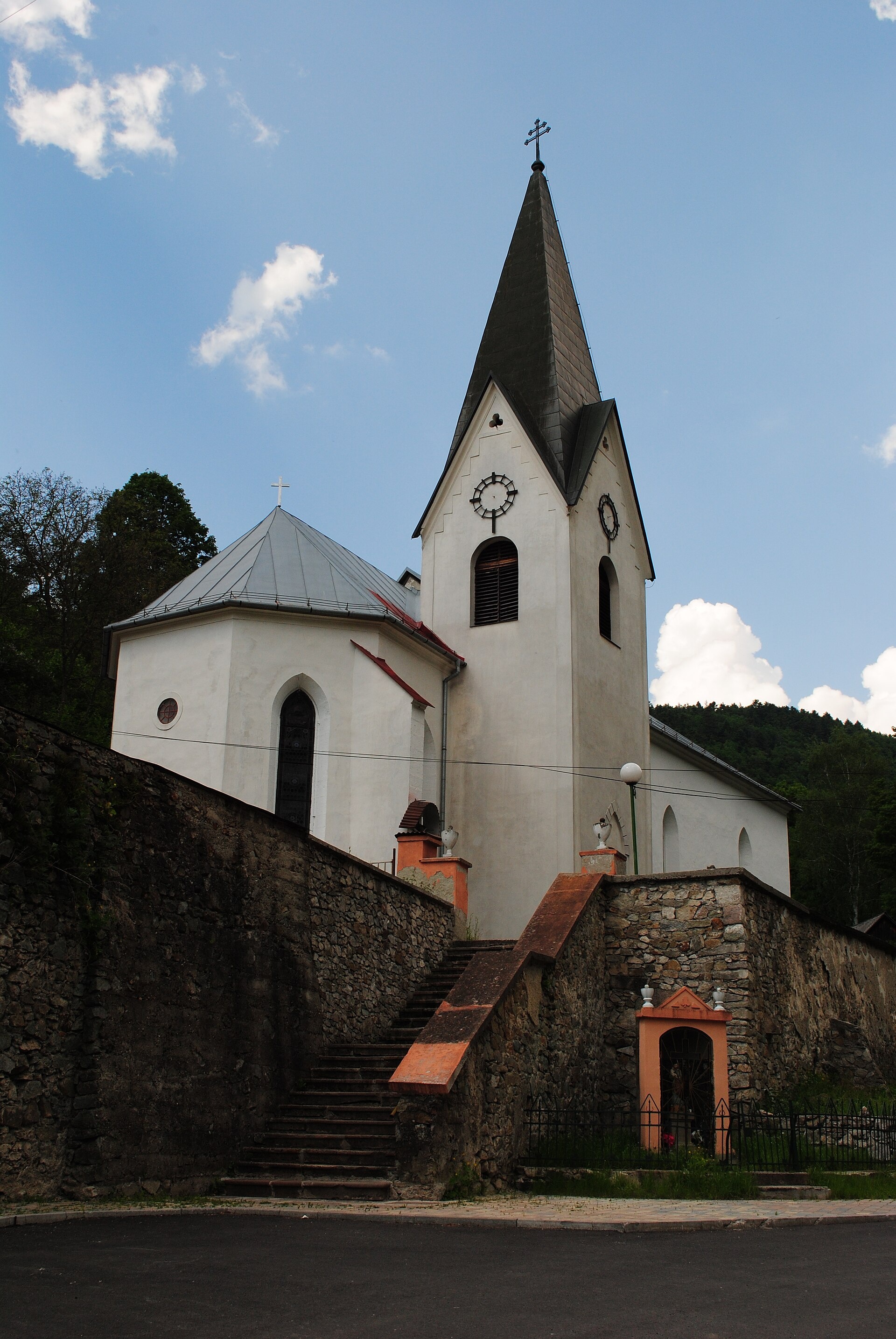
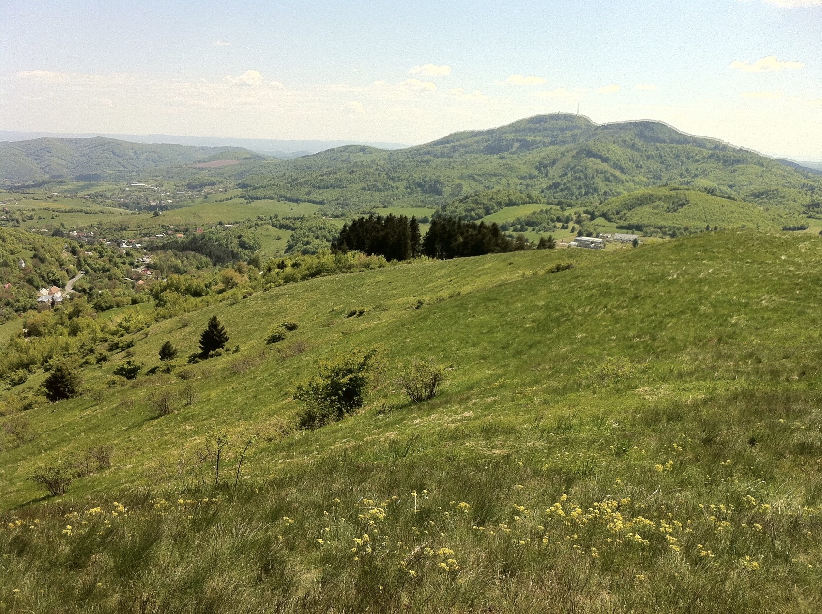
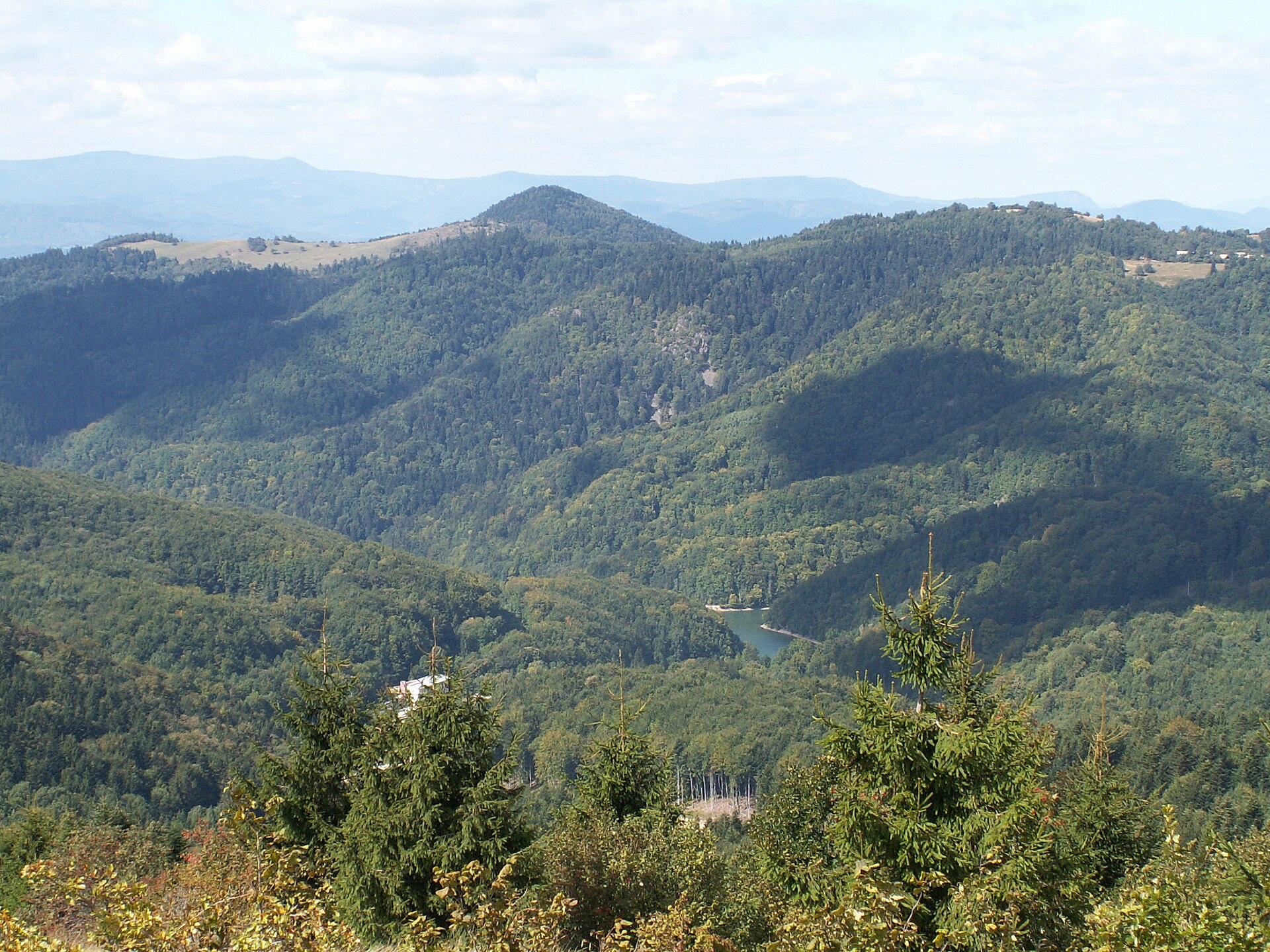
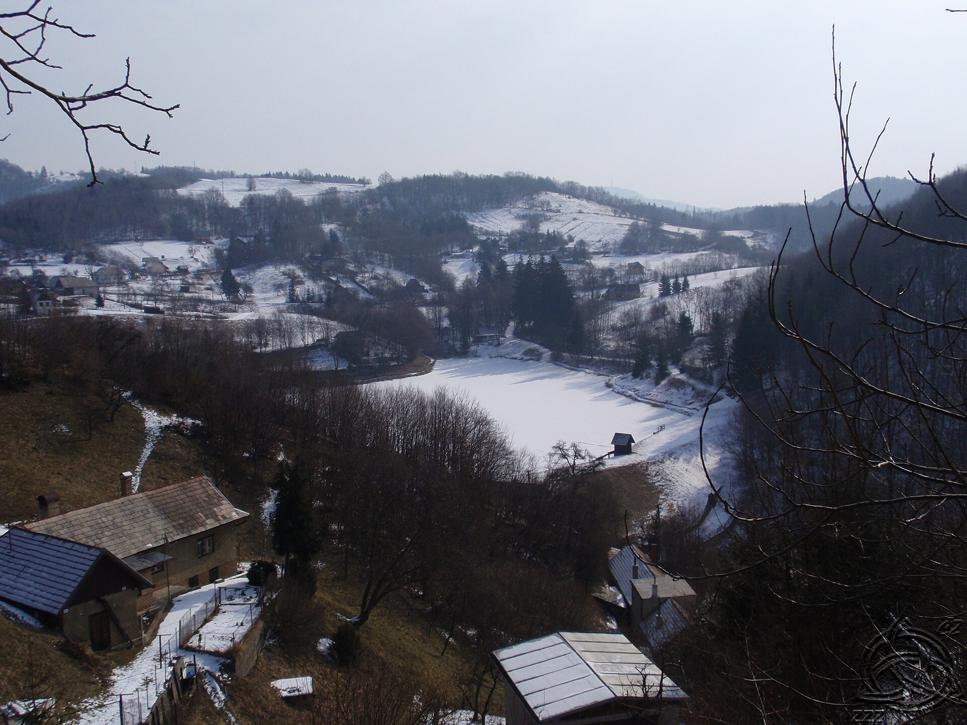
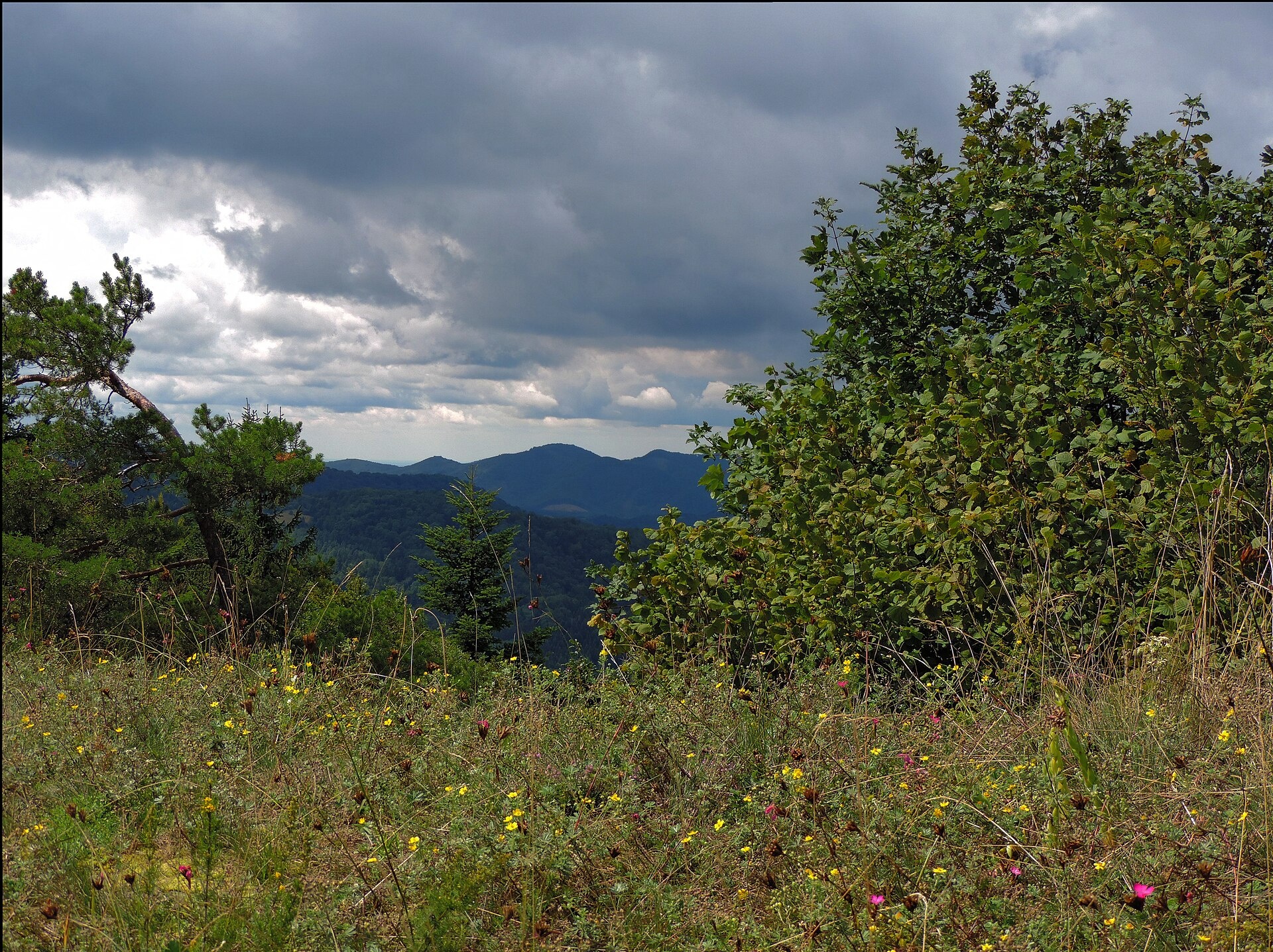
Photos: Patrik Kunec, CC BY-SA 3.0 (Wikimedia Commons); Punteador, CC BY-SA 4.0 (Wikimedia Commons); Mineralysk, CC BY-SA 4.0 (Wikimedia Commons); Zdendoo, CC BY-SA 3.0 (Wikimedia Commons); Jan Starec, CC BY-SA 3.0 (Wikimedia Commons); Jan Starec, CC BY-SA 3.0 (Wikimedia Commons)
Hodruša-Hámre is a village and municipality in the Žarnovica District of the Banská Bystrica Region, Slovakia, situated in the Tekov area. The settlement lies among the Slovak Central Mountains, covering an area of 46.15 km² at an elevation of about 260 metres above sea level. The Hodruša stream flows through the village, and the surrounding mountainous landscape offers a scenic setting for visitors.
The first written mention of Hodruša-Hámre dates back to 1391. The village has a long history connected to mining and the development of the surrounding region, with a unique local culture that has been preserved over the centuries.
Hodruša-Hámre is known for its natural environment and proximity to the highlights of the Slovak Central Mountains. The Sitno peak is nearby, as well as the historic mining lakes called Štiavnica tajchy. In neighbouring Banská Štiavnica, visitors can explore the Open-Air Mining Museum, the New and Old Castles, and Počúvadlo Lake. The area attracts those interested in nature, history, and active recreation.
There are over 30 hiking trails in and around Hodruša-Hámre, including "Tlmače – Hodruša-Hámre, Sandrik", "Ergištolňa Chapel – Hodruša Lake", "Andrej Kmeť Trail", and "Banská Štiavnica, Square – Žiar nad Hronom, Station". Mountain enthusiasts can ascend Sitno peak, and the Andrej Kmeť Shelter offers a place to rest. For crafts, you can visit the ERB Brewery in Banská Štiavnica or the "Do dielne" woodcarving workshop in Počúvadlo. For relaxation, try the thermal baths in Sklené Teplice or the "Vodný raj" pools in Vyhne.
Getting there from Ukraine
From Uzhhorod to Brezno is about 274 km, around 3 h 50 min without queues: Uzhhorod – Vyšné Nemecké → I/19 to Košice → D1 via Prešov and Poprad to the exit near Liptovský Hrádok → I/18 and I/72 over the Čertovica Pass to Brezno. To Banská Bystrica is about 322 km, around 4 h 30 min: D1 to Ružomberok, then I/59 via Donovaly. From Lviv: to Brezno via Uzhok and Ubľa about 498 km (about 7 h 45 min) or through Poland about 554 km (about 7 h 05 min); to Banská Bystrica through Poland (Kraków – Chyżne – Trstená – Dolný Kubín – Ružomberok) about 535 km, about 7 h 15 min. The D1 requires an e-vignette (eznamka.sk).
Sources: Wikipedia, Wikidata, OpenStreetMap, Karpaty.rocks data. More on Wikipedia
What's nearby
Trails nearby
All trails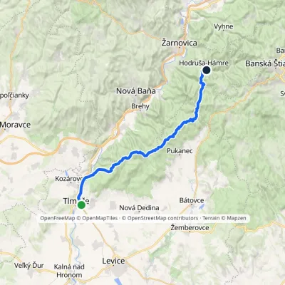 HardMulti-dayMarkedTlmače Hodruša–Hámre, SandrikElevation profile175–747 m34.5 kmascent 1 213 m≈ 11 h walkingunder 1 km from the centre
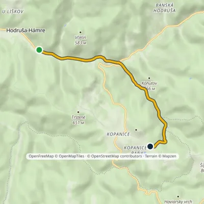 EasyOne-dayMarkedHodruša-Hámre, Sandrik Kopanice, BaňaElevation profile310–658 m5.7 kmascent 347 m≈ 2 h walkingunder 1 km from the centre
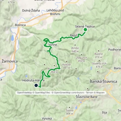 HardTwo-dayMarkedHodruša Sklené Teplicevia Hámre, SandrikElevation profile310–804 m23.5 kmascent 862 m≈ 7.5 h walkingunder 1 km from the centre
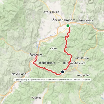 HardMulti-dayMarkedŽarnovica, station Žiar nad Hronom, stationElevation profile210–940 m42.1 kmascent 2 364 m1.2 km from the centre
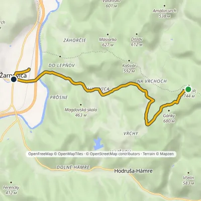 EasyOne-dayMarkedŽarnovica, station Pod PriechodnouElevation profile214–722 m7.6 kmascent 14 m≈ 2 h walking1.4 km from the centre
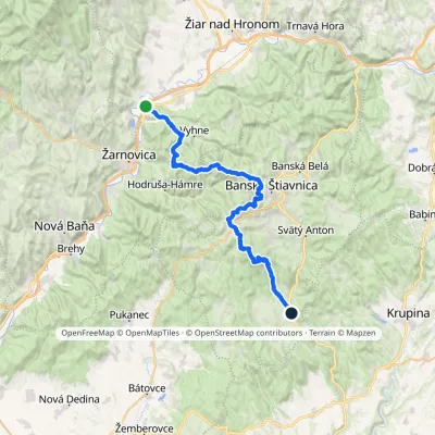 HardMulti-dayMarkedAndrej Kmeť TrailElevation profile231–1 009 m39.6 kmascent 1 214 m≈ 12.5 h walking2.3 km from the centre
Peaks nearby
All peaks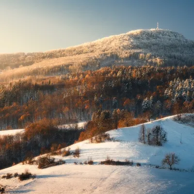 PeakSitnoIlijaaltitude 1 009 m10 km from the centre1 trail to the topSitno (Hungarian Szitnya) is the highest peak of the Štiavnica Mountains at 1,009 m, close to the historic mining town of Banská Štiavnica in central Slovakia.
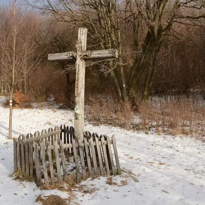 PeakVeľký InovecTekovské Nemcealtitude 900 m17 km from the centreVeľký Inovec is the highest summit of the Pohronský Inovec mountains in Slovakia, at 900 m. It lies in the central part of the range, on the main ridge, in the Nitra...
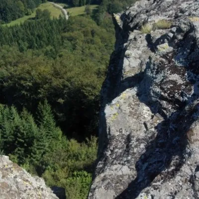 PeakBuchlov (Vtáčnik)Čereňanyaltitude 1 040 m22 km from the centreBuchlov is a prominent rocky peak, 1,040 m high, in the Vtáčnik mountains of central Slovakia. It should not be confused with the castle hill of the same name in the...
What to visit
All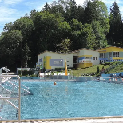 Water parks & thermal poolsVodný raj thermal pools in VyhneVyhne5.2 km from the centreVodný raj Vyhne ("Water Paradise") is a public pool complex with thermal water in the village of Vyhne, in a quiet wooded valley of the Štiavnické vrchy hills near the...
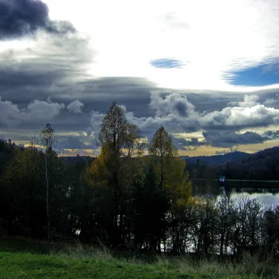 LakeThe Štiavnica tajchy – historic mining lakes of Banská ŠtiavnicaŠtiavnické Bane7 km from the centreThe Štiavnica tajchy are a system of historic artificial lakes in the Štiavnica Mountains (Štiavnické vrchy) around the mining town of Banská Štiavnica in central...
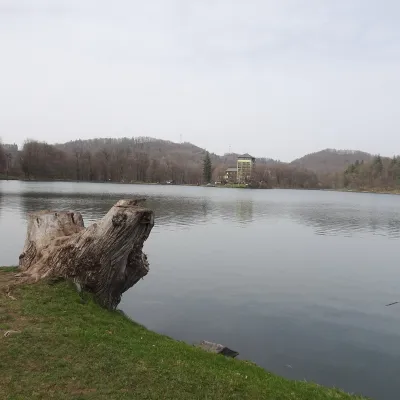 LakePočúvadlo — historic mining lake below SitnoBanská Štiavnica8.7 km from the centrePočúvadlo (Počúvadlianske jazero) is the largest of the Štiavnica tajchs — historic artificial ponds built by the miners of Banská Štiavnica to drive the machinery of...
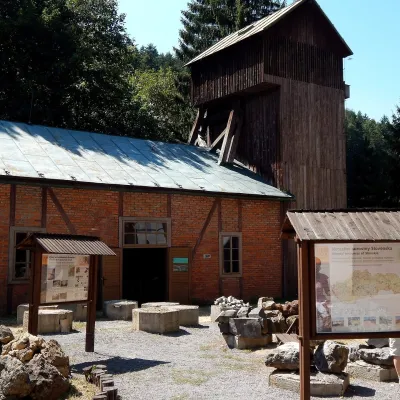 MuseumOpen-Air Mining Museum, Banská ŠtiavnicaBanská Štiavnica9 km from the centreThe Open-Air Mining Museum (Banské múzeum v prírode) in Banská Štiavnica is the oldest and thematically broadest mining exhibition in Slovakia.
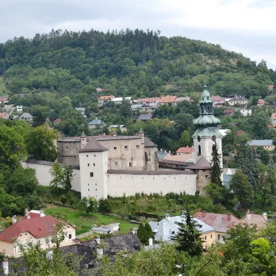 MuseumOld Castle in Banská ŠtiavnicaBanská Štiavnica9.2 km from the centreThe Old Castle (Starý zámok, officially Mestský hrad — Town Castle) is one of the oldest buildings of Banská Štiavnica, a mining town on the UNESCO World Heritage List.
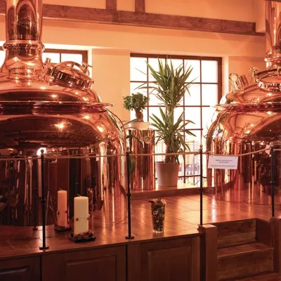 Craft beer & breweriesERB brewery in Banská Štiavnica: brewery tour and tastingBanská Štiavnica9.4 km from the centreBanská Štiavnica is an old mining town in the caldera of an extinct volcano and a UNESCO World Heritage site.
Craft nearby
All craft places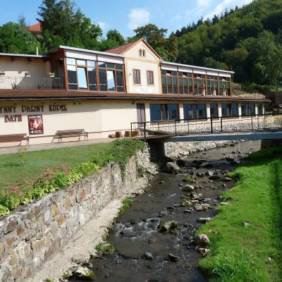 Water parks & thermal poolsSklené Teplice: Parenica cave steam bath and thermal bathsSklené Teplice10 km from the centreSklené Teplice is a small spa in a wooded valley of the Štiavnické vrchy hills, a few kilometres from the Hron valley and about 8 km from Banská Štiavnica.
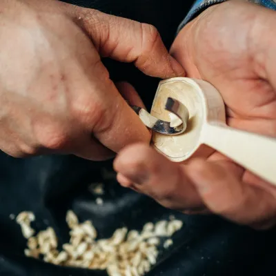 Crafts & workshopsDo dielne, Počúvadlo: woodcarving courses near Banská ŠtiavnicaPočúvadlo11 km from the centreHere, in the quiet among the hills, works the small workshop Do dielne (“To the workshop”). Its owner Dušan Budinský ran a hairdresser’s in Bratislava for eight years,...
 Craft producersKremnica gingerbread: the Haurík family bakery since 1922Kremnica29 km from the centreKremnica is an old mining town in the Kremnica Mountains where coins have been struck for more than six centuries.
Spas and thermal pools nearby
Water parks & thermal poolsVodný raj thermal pools in VyhneVyhne5.2 km from the centreVodný raj Vyhne ("Water Paradise") is a public pool complex with thermal water in the village of Vyhne, in a quiet wooded valley of the Štiavnické vrchy hills near the...Water parks & thermal poolsSklené Teplice: Parenica cave steam bath and thermal bathsSklené Teplice10 km from the centreSklené Teplice is a small spa in a wooded valley of the Štiavnické vrchy hills, a few kilometres from the Hron valley and about 8 km from Banská Štiavnica.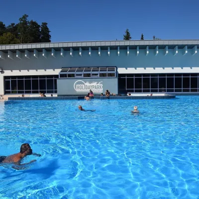 Water parks & thermal poolsKováčová: thermal spa and Holidaypark aquapark near ZvolenKováčová30 km from the centreKováčová is a spa village on the south-western edge of the Zvolen Basin, 4 km west of Zvolen at the foot of the Kremnica Mountains; the village centre lies at 303 m.
Huts, shelters and springs nearby
Getting there from Ukraine
Border crossings
- Uzhhorod – Vyšné Nemecké — road, 24/7
- Malyi Bereznyi – Ubľa — road, 24/7 For cars and buses; pedestrians not confirmed by the Ukrainian border service, lorries up to 3.5 t.
- Mali Selmentsi – Veľké Slemence (pedestrian) — pedestrian, 09:00–21:00 Kyiv time Pedestrians and cyclists only; inconvenient for the Tatras without onward transport.
- Chop – Čierna nad Tisou (rail) — rail, 24/7
By car
From Uzhhorod to Brezno ≈274 km, ≈3 h 50 min without queues: Uzhhorod – Vyšné Nemecké → I/19 to Košice → D1 via Prešov and Poprad to the exit near Liptovský Hrádok → I/18 and I/72 over the Čertovica Pass to Brezno. To Banská Bystrica ≈322 km, ≈4 h 30 min: D1 to Ružomberok, then I/59 via Donovaly. From Lviv: to Brezno via Uzhok and Ubľa ≈498 km (≈7 h 45 min) or through Poland ≈554 km (≈7 h 05 min); to Banská Bystrica through Poland (Kraków – Chyżne – Trstená – Dolný Kubín – Ružomberok) ≈535 km, ≈7 h 15 min. The D1 requires an e-vignette (eznamka.sk).
Checked 23.10.2026; border crossing hours and timetables change — check before you travel.
