Rimavská Sobota District
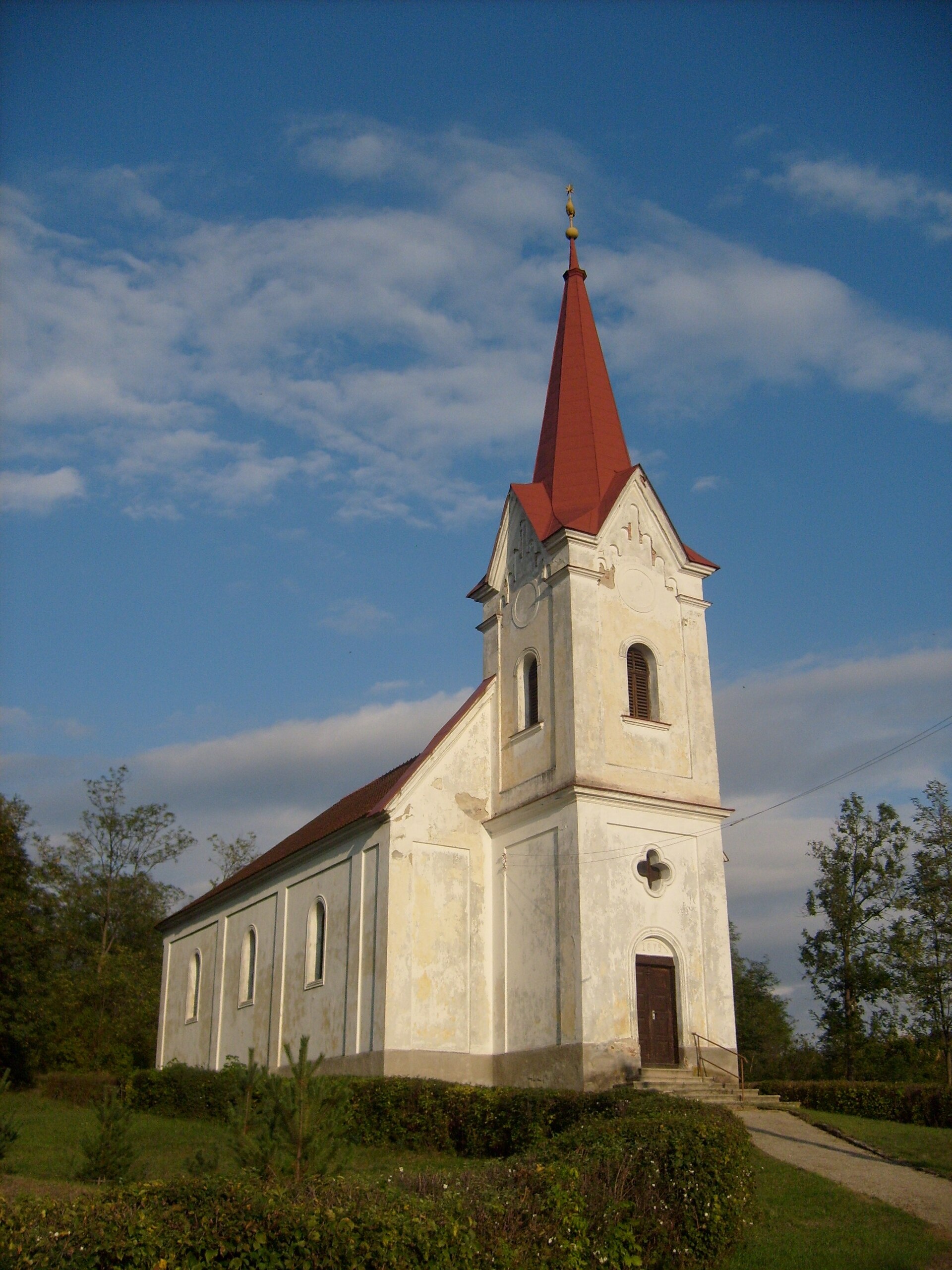
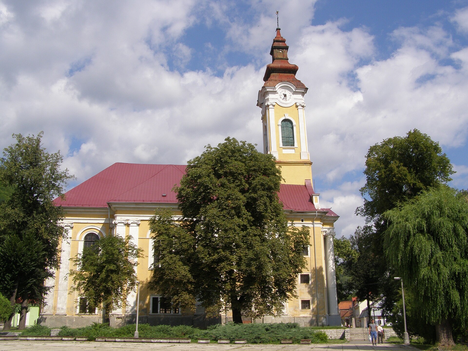
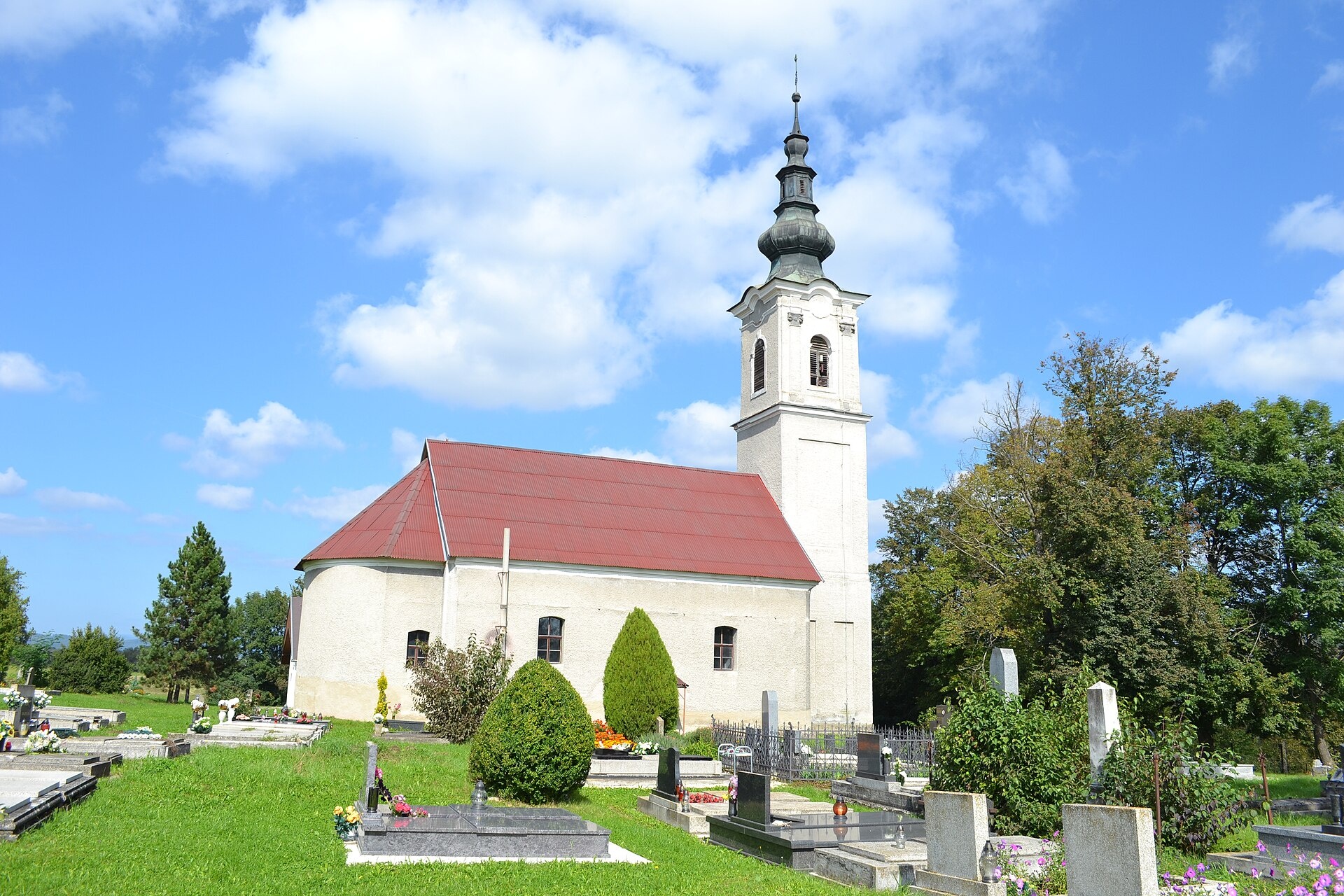
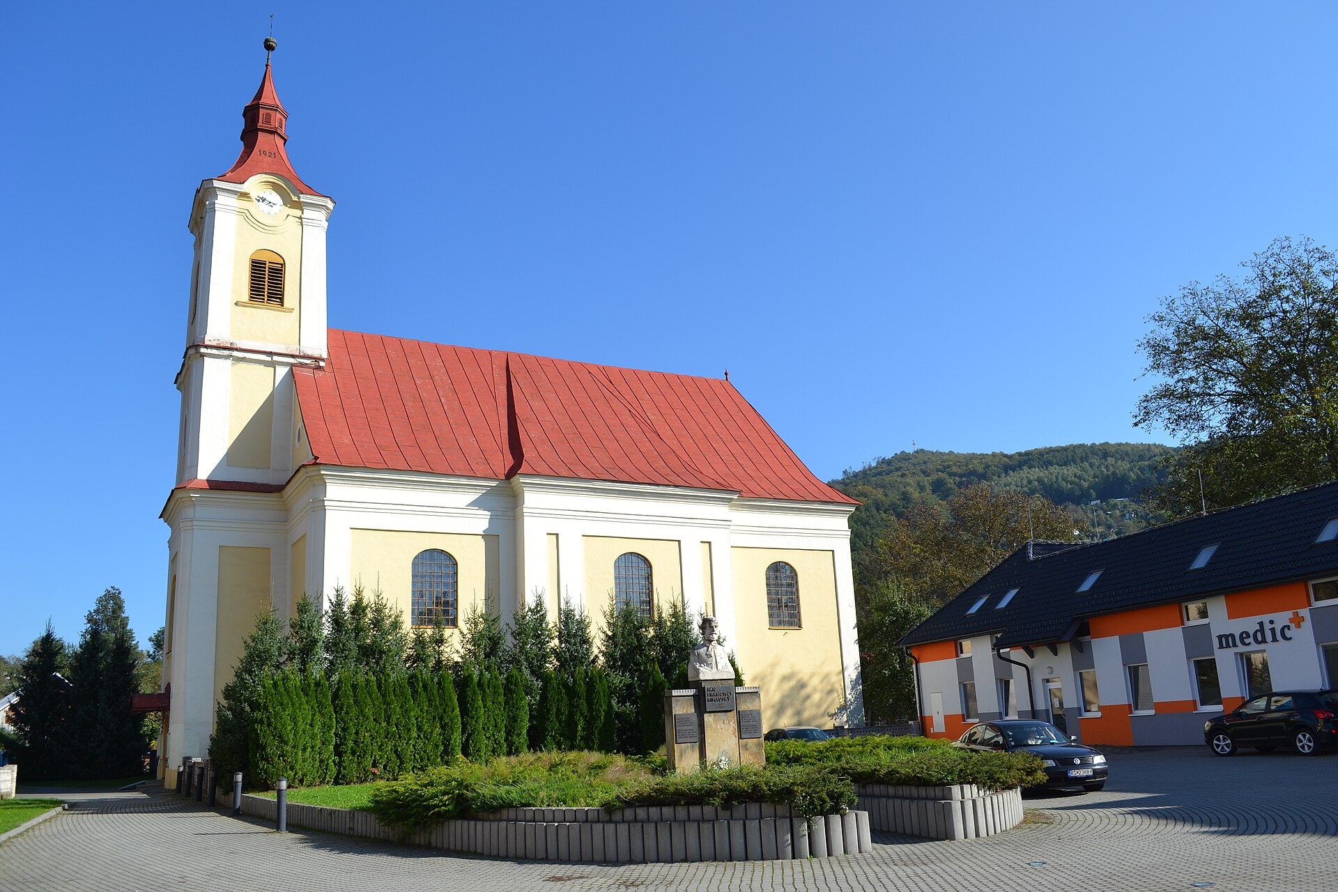
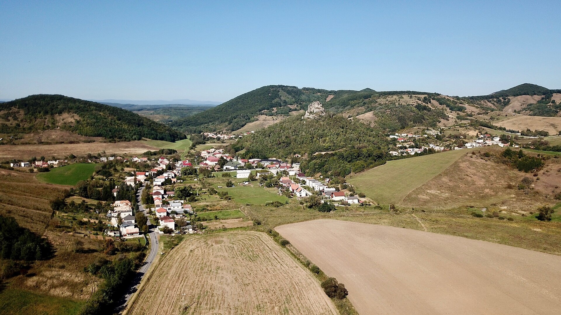
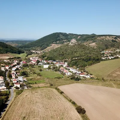
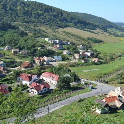
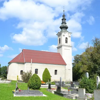
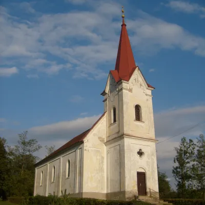
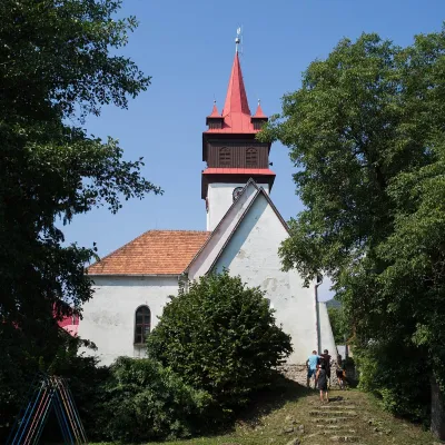
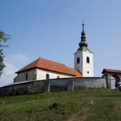
Photos: Číž (Farkas Gergely, CC BY-SA 3.0); Tisovec (Daniel Baránek, CC BY-SA 3.0); Veľké Teriakovce (Ladislav Luppa, CC BY-SA 4.0); Hnúšťa (Ladislav Luppa, CC BY-SA 4.0); Hajnáčka (VargaA, CC BY-SA 4.0)
Rimavská Sobota District is an administrative district in the Banská Bystrica Region of Slovakia. Its centre is the town of Rimavská Sobota. The district covers an area of 1,471.1 km² and has a population of over 84,000 (2015). Historically, most of the district belonged to the Hungarian county of Gemer-Malohont until 1918, with the southwestern part around Konrádovce being part of Novohrad County.
The district lies in the central-southern part of Slovakia, bordering Hungary. It features the Cerová Highlands, including the Bučenská, Hajnáčka, and Petrovská highlands. The Hubovský stream flows through the area. The region is known for agriculture, especially livestock, and the cultivation of sugar beet, wheat, grapes, and other crops.
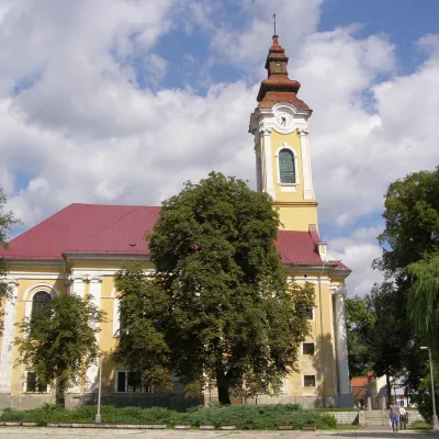
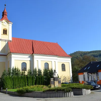
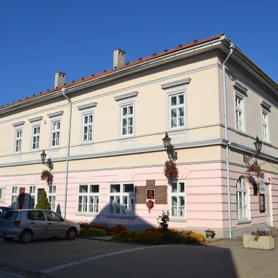
The site features objects in towns such as Tisovec, Hnúšťa, Klenovec, and villages like Hajnáčka, Rimavská Baňa, Číž, Krokava, Hodejov, Veľké Teriakovce, Rimavské Brezovo. There are hiking trails, including Kokava nad Rimavicou – Dielik, Fiľakovo – Belina – Hajnáčka, Tisovec, square – Hradová – Tisovec, station. Notable places include the Číž spa with iodine-bromine water, and cheese dairies Salaš Zbojská and Salaš pod Maginhradom.
Getting there from Ukraine
From Uzhhorod to Brezno ≈274 km, ≈3 h 50 min without queues: Uzhhorod – Vyšné Nemecké → I/19 to Košice → D1 via Prešov and Poprad to the exit near Liptovský Hrádok → I/18 and I/72 over the Čertovica Pass to Brezno. To Banská Bystrica ≈322 km, ≈4 h 30 min: D1 to Ružomberok, then I/59 via Donovaly. From Lviv: to Brezno via Uzhok and Ubľa ≈498 km (≈7 h 45 min) or through Poland ≈554 km (≈7 h 05 min); to Banská Bystrica through Poland (Kraków – Chyżne – Trstená – Dolný Kubín – Ružomberok) ≈535 km, ≈7 h 15 min. The D1 requires an e-vignette (eznamka.sk).
Sources: Wikipedia, Wikidata, OpenStreetMap, Karpaty.rocks data.
Towns and villages
Getting there from Ukraine
Border crossings
- Uzhhorod – Vyšné Nemecké — road, 24/7
- Malyi Bereznyi – Ubľa — road, 24/7 For cars and buses; pedestrians not confirmed by the Ukrainian border service, lorries up to 3.5 t.
- Mali Selmentsi – Veľké Slemence (pedestrian) — pedestrian, 09:00–21:00 Kyiv time Pedestrians and cyclists only; inconvenient for the Tatras without onward transport.
- Chop – Čierna nad Tisou (rail) — rail, 24/7
By car
From Uzhhorod to Brezno ≈274 km, ≈3 h 50 min without queues: Uzhhorod – Vyšné Nemecké → I/19 to Košice → D1 via Prešov and Poprad to the exit near Liptovský Hrádok → I/18 and I/72 over the Čertovica Pass to Brezno. To Banská Bystrica ≈322 km, ≈4 h 30 min: D1 to Ružomberok, then I/59 via Donovaly. From Lviv: to Brezno via Uzhok and Ubľa ≈498 km (≈7 h 45 min) or through Poland ≈554 km (≈7 h 05 min); to Banská Bystrica through Poland (Kraków – Chyżne – Trstená – Dolný Kubín – Ružomberok) ≈535 km, ≈7 h 15 min. The D1 requires an e-vignette (eznamka.sk).
Checked 23.10.2026; border crossing hours and timetables change — check before you travel.
