Veľké Teriakovce
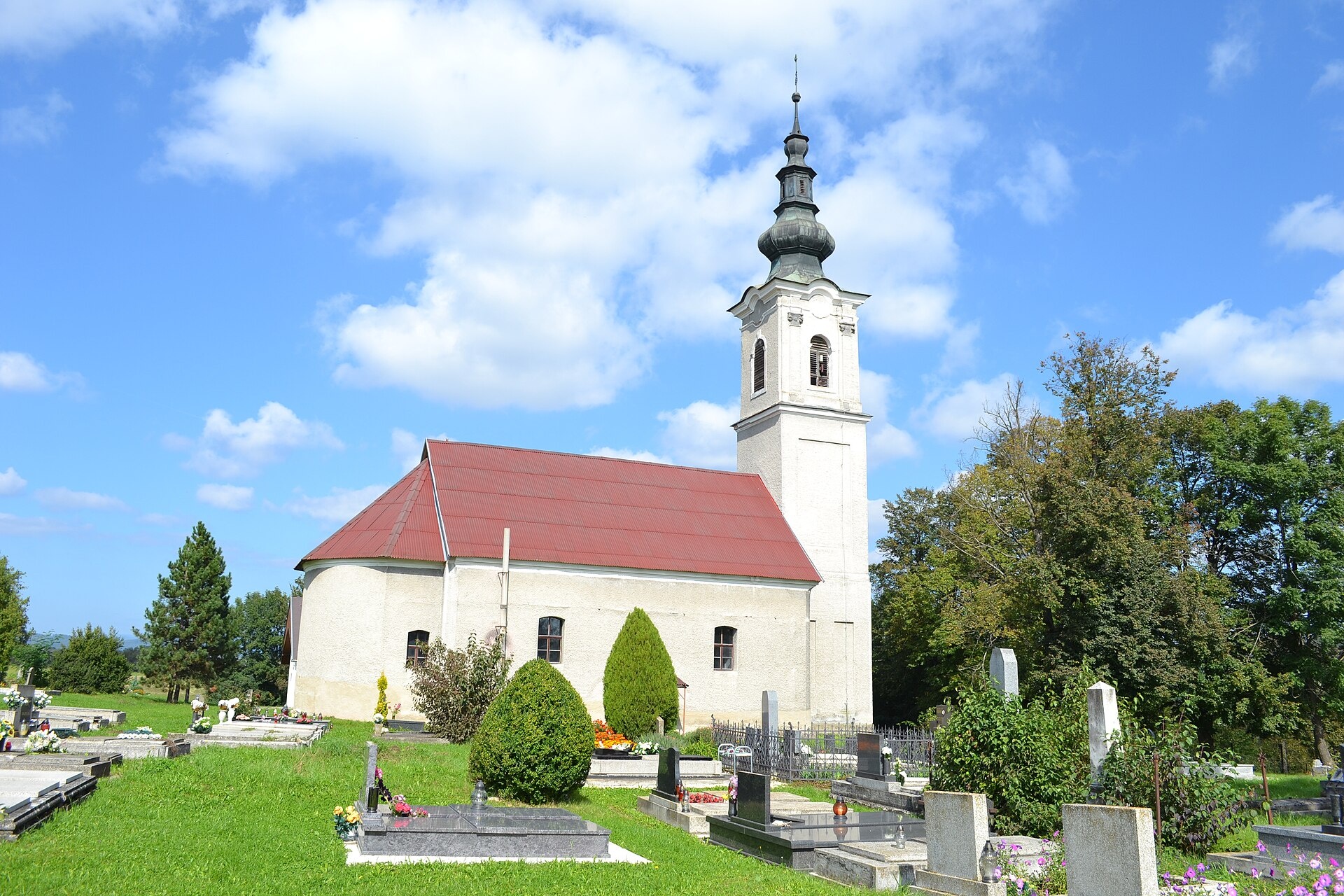
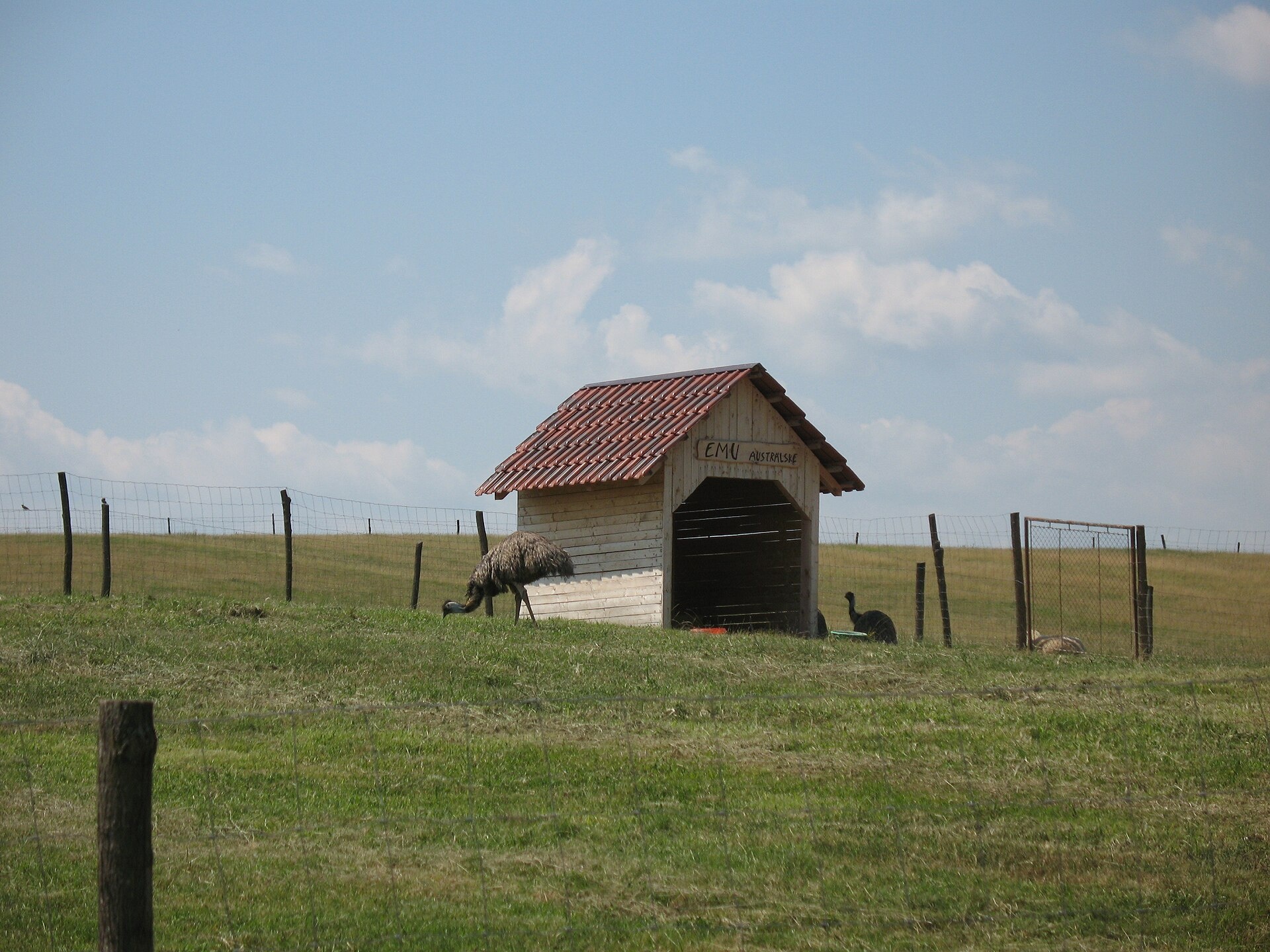
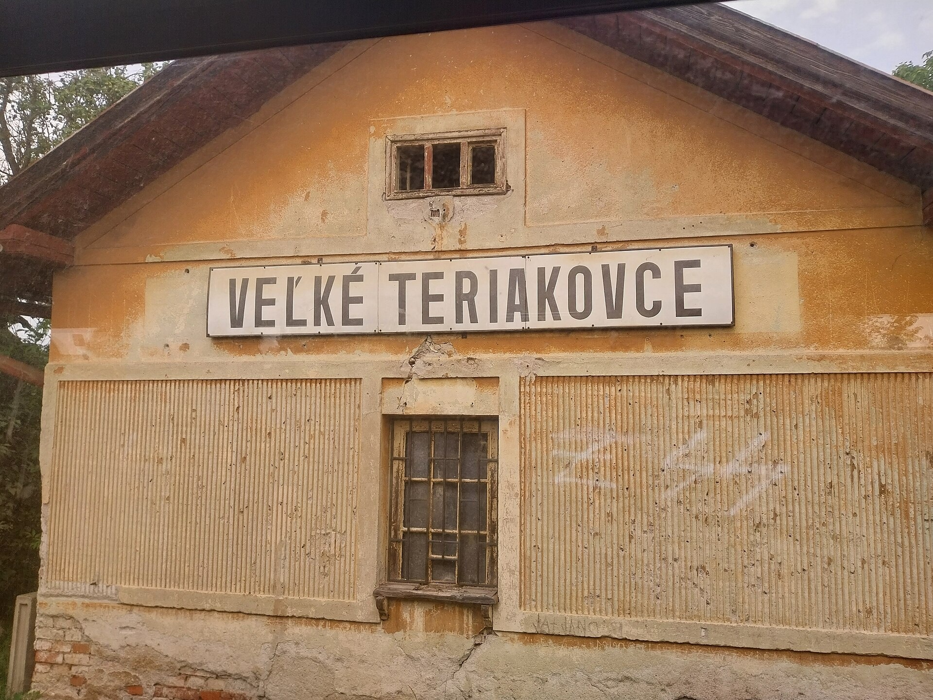
Photos: Ladislav Luppa, CC BY-SA 4.0 (Wikimedia Commons); Taz666, CC BY-SA 3.0 (Wikimedia Commons); Draceane, CC BY-SA 4.0 (Wikimedia Commons)
Veľké Teriakovce is a village in Slovakia.
Elevation: about 233 m above sea level. Population: 834 (2025). Mountains nearby: Slovak Ore Mountains.
Here and nearby on the site: 1 craft place.
Facts: Wikidata, OpenStreetMap. More on Wikipedia
Trails nearby
All trails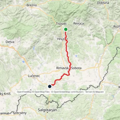 HardMulti-dayMarkedMária Széchy Trail: Holcková FiľakovoElevation profile191–1 121 m66.2 kmascent 783 m3.7 km from the centre
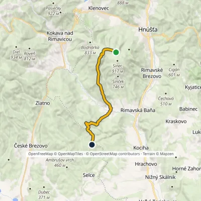 ModerateOne-dayMarkedSinec, Iron Table Holubínvia Lehota nad RimavicouElevation profile267–885 m13.4 kmascent 379 m≈ 4 h walking8.4 km from the centre
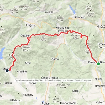 HardMulti-dayMarkedRimavská Baňa, station MálinecElevation profile254–995 m36.5 kmascent 1 499 m≈ 12 h walking8.7 km from the centre
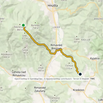 EasyOne-dayMarkedSinec, Iron Table Klinovévia Rimavské BrezovoElevation profile270–909 m9.5 kmascent 261 m≈ 3 h walking9.5 km from the centre
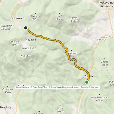 ModerateOne-dayMarkedZlatno, railway station JaseninaElevation profile368–914 m8.8 kmascent 580 m≈ 3.5 h walking14 km from the centre
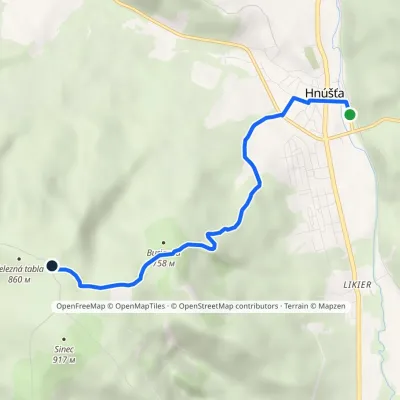 EasyOne-dayMarkedHnúšťa Sinec, Železná tablavia Pod BuriankouElevation profile293–871 m5.2 kmascent 578 m≈ 2.5 h walking14 km from the centre
What to visit
All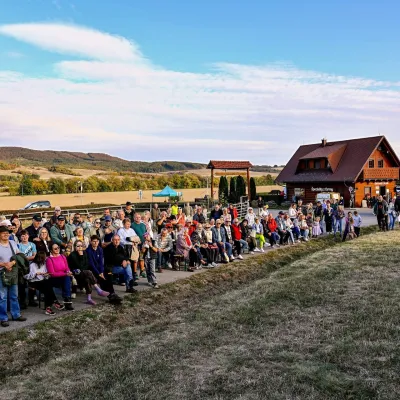 Cheese dairies & pasturesSalaš pod Maginhradom: Gemer sheep’s cheese and the Mitrovanie feastVeľké Teriakovceunder 1 km from the centreAcross the road rises Maginhrad hill: in the 15th century a castle stood there that served as a Hussite fortress, and the Romantic poet Ján Botto dedicated a ballad to...
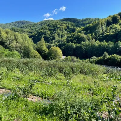 Eco farmsČučoriedková záhrada: pick-your-own blueberries and aronia juiceRatkovské Bystré24 km from the centreHere in 2010 the owners’ family planted the first Canadian blueberry bushes on a small plot — and gradually grew them into the Čučoriedková záhrada (Blueberry Garden).
Craft nearby
All craft places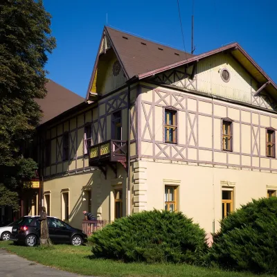
Spas and thermal pools nearby
Huts, shelters and springs nearby
Getting there from Ukraine
Border crossings
- Uzhhorod – Vyšné Nemecké — road, 24/7
- Malyi Bereznyi – Ubľa — road, 24/7 For cars and buses; pedestrians not confirmed by the Ukrainian border service, lorries up to 3.5 t.
- Mali Selmentsi – Veľké Slemence (pedestrian) — pedestrian, 09:00–21:00 Kyiv time Pedestrians and cyclists only; inconvenient for the Tatras without onward transport.
- Chop – Čierna nad Tisou (rail) — rail, 24/7
By car
From Uzhhorod to Brezno ≈274 km, ≈3 h 50 min without queues: Uzhhorod – Vyšné Nemecké → I/19 to Košice → D1 via Prešov and Poprad to the exit near Liptovský Hrádok → I/18 and I/72 over the Čertovica Pass to Brezno. To Banská Bystrica ≈322 km, ≈4 h 30 min: D1 to Ružomberok, then I/59 via Donovaly. From Lviv: to Brezno via Uzhok and Ubľa ≈498 km (≈7 h 45 min) or through Poland ≈554 km (≈7 h 05 min); to Banská Bystrica through Poland (Kraków – Chyżne – Trstená – Dolný Kubín – Ružomberok) ≈535 km, ≈7 h 15 min. The D1 requires an e-vignette (eznamka.sk).
Checked 23.10.2026; border crossing hours and timetables change — check before you travel.
