Sinec, Iron Table — Holubín, via Lehota nad Rimavicou
Trail map
Route, springs and shelters: © OpenStreetMap contributors (ODbL) · elevation: Copernicus DEM © DLR e.V., © Airbus DS · Data & licences
About the trail
Route Sinec, Iron Table – Lehota nad Rimavicou – Holubín. Has yellow marking (regional route №8488, KST). Waymarking data: OpenStreetMap (© OpenStreetMap contributors, ODbL).
Officially marked regional tourist route No. 8488. Marking is yellow, sign — horizontal stripe on a white background. Marked and maintained by: KST. Length of the route — 13.4 km. Location: mountain range — Slovak Rudohorie, Slovakia.
At a glance
A one-day route of 13.4 km with 379 m of ascent and 728 m of descent from Sinec, Iron Table to Holubín. Estimated walking time: about 4 h, not counting stops. Difficulty: moderate. Waymarking: yellow.
Route stages
- 0–2 kmGentle ups and downs at 830–890 m
- 2–4 kmDescent of 190 m (down to 653 m)
- 4–6 kmGentle ups and downs at 590–670 m, past Bištiakovica
- 6–8 kmDescent of 320 m (down to 275 m)
- 8–10 kmClimb of 200 m (up to 470 m)
- 10–13 kmGentle ups and downs at 410–510 m, past Žufina, Holubín
Steepest kilometre: km 6–7, a descent of 200 m (≈20%).
Water and overnight stays
Our map shows no springs near the trail — bring your own water (at least 2 l).
When to go
The route can be walked most of the year; it is most comfortable from April to October.
Getting there
Start: Sinec, Iron Table. This is a one-way route: the finish is 9 km from the start in a straight line, so plan your way back in advance.
FAQ
- How long does the route take?
- Estimated walking time: about 4 h, not counting stops.
- Is there water on the route?
- Our map shows no springs near the trail — bring your own water (at least 2 l).
Comments
Trails nearby
All trails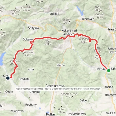 HardMulti-dayMarkedRimavská Baňa, station MálinecElevation profile254–995 m36.5 kmascent 1 499 m≈ 12 h walking
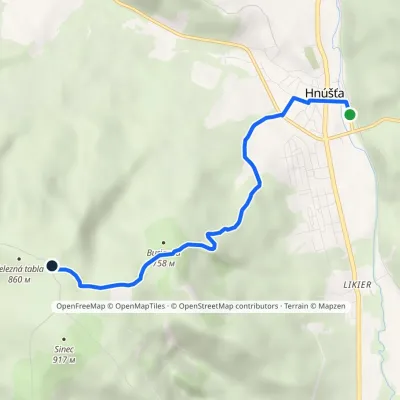 EasyOne-dayMarkedHnúšťa Sinec, Železná tablavia Pod BuriankouElevation profile293–871 m5.2 kmascent 578 m≈ 2.5 h walking
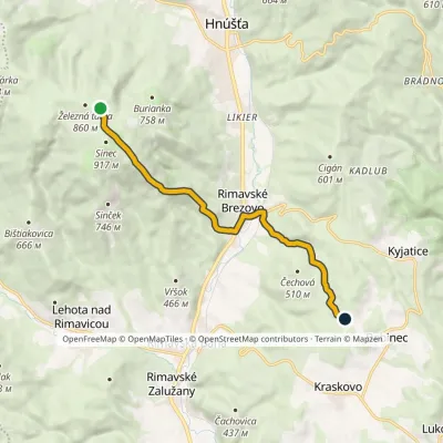 EasyOne-dayMarkedSinec, Iron Table Klinovévia Rimavské BrezovoElevation profile270–909 m9.5 kmascent 261 m≈ 3 h walking
Craft nearby
All craft places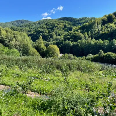 Eco farmsČučoriedková záhrada: pick-your-own blueberries and aronia juice14 km from the trailHere in 2010 the owners’ family planted the first Canadian blueberry bushes on a small plot — and gradually grew them into the Čučoriedková záhrada (Blueberry Garden).
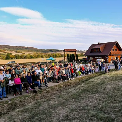 Cheese dairies & pasturesSalaš pod Maginhradom: Gemer sheep’s cheese and the Mitrovanie feast14 km from the trailAcross the road rises Maginhrad hill: in the 15th century a castle stood there that served as a Hussite fortress, and the Romantic poet Ján Botto dedicated a ballad to...
 Cheese dairies & pasturesSalaš Zbojská: sheep’s cheese, bryndza and žinčica on the pass21 km from the trailThe Zbojská pass lies at about 740 metres in the forests between Brezno and Tisovec, on the edge of the Hron valley and the Muránska planina plateau.
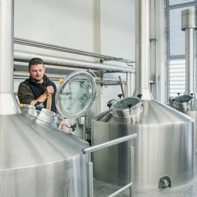 Craft beer & breweriesKaltenecker Brewery, Rožňava: Gemer craft beer from the source47 km from the trailThe modern Kaltenecker brewery was founded in 1997, and from the start it took a different path from the big breweries of the day: instead of one-size-fits-all beer, a...
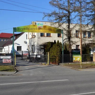 Cheese dairies & pasturesZvolenská Slatina bryndza dairy: the oldest, since 179748 km from the trailBryndza with more than 220 years behind it Zvolenská Slatina is a large village in the Podpoľanie region, a few kilometres from Zvolen, at the foot of the volcanic...
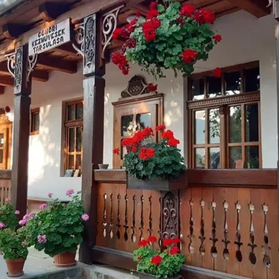 Markets & fairsGemer Craft Fair at Krásnohorská Dlhá Lúka below Krásna Hôrka50 km from the trailKrásnohorská Dlhá Lúka is a village below Krásna Hôrka castle, a few kilometres from Rožňava. In 2002 the Association of Gemer Craftsmen (Združenie gemerských...
