Tisovec
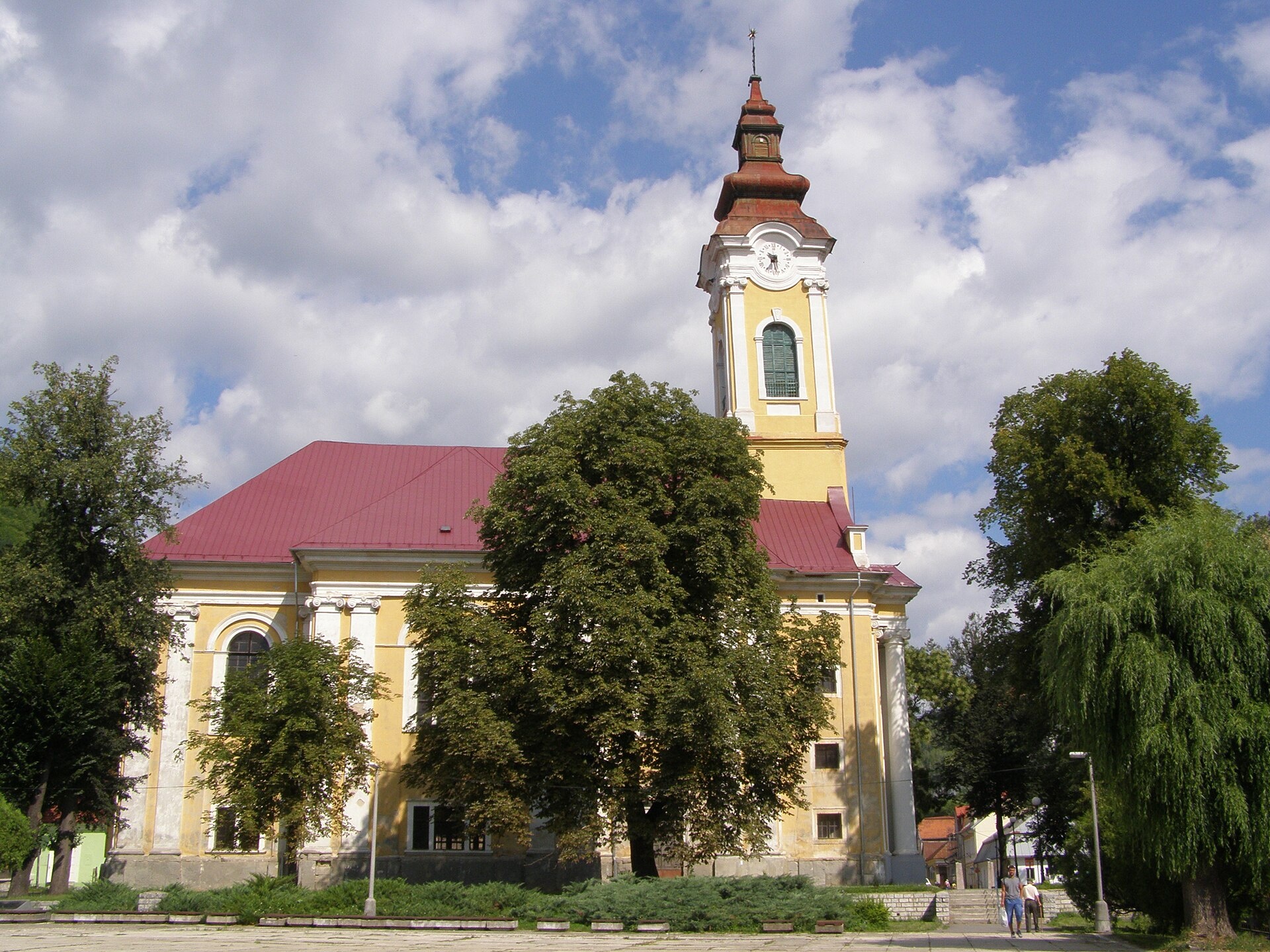
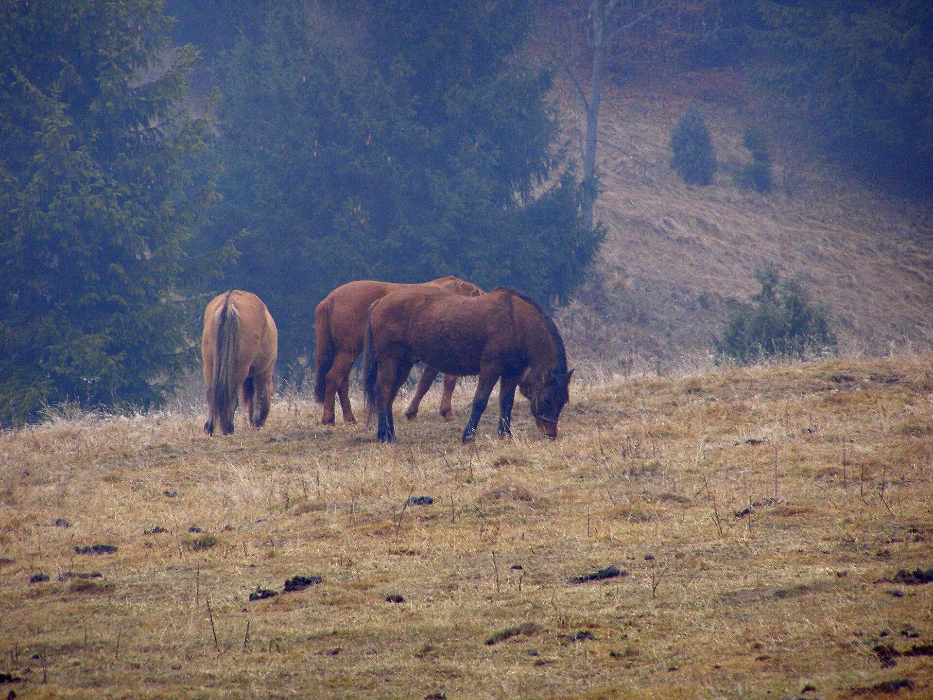

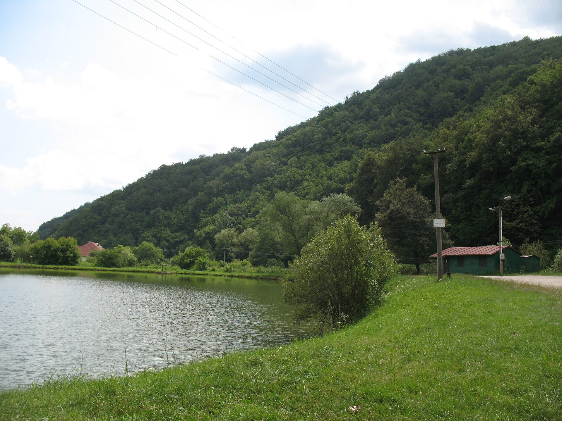
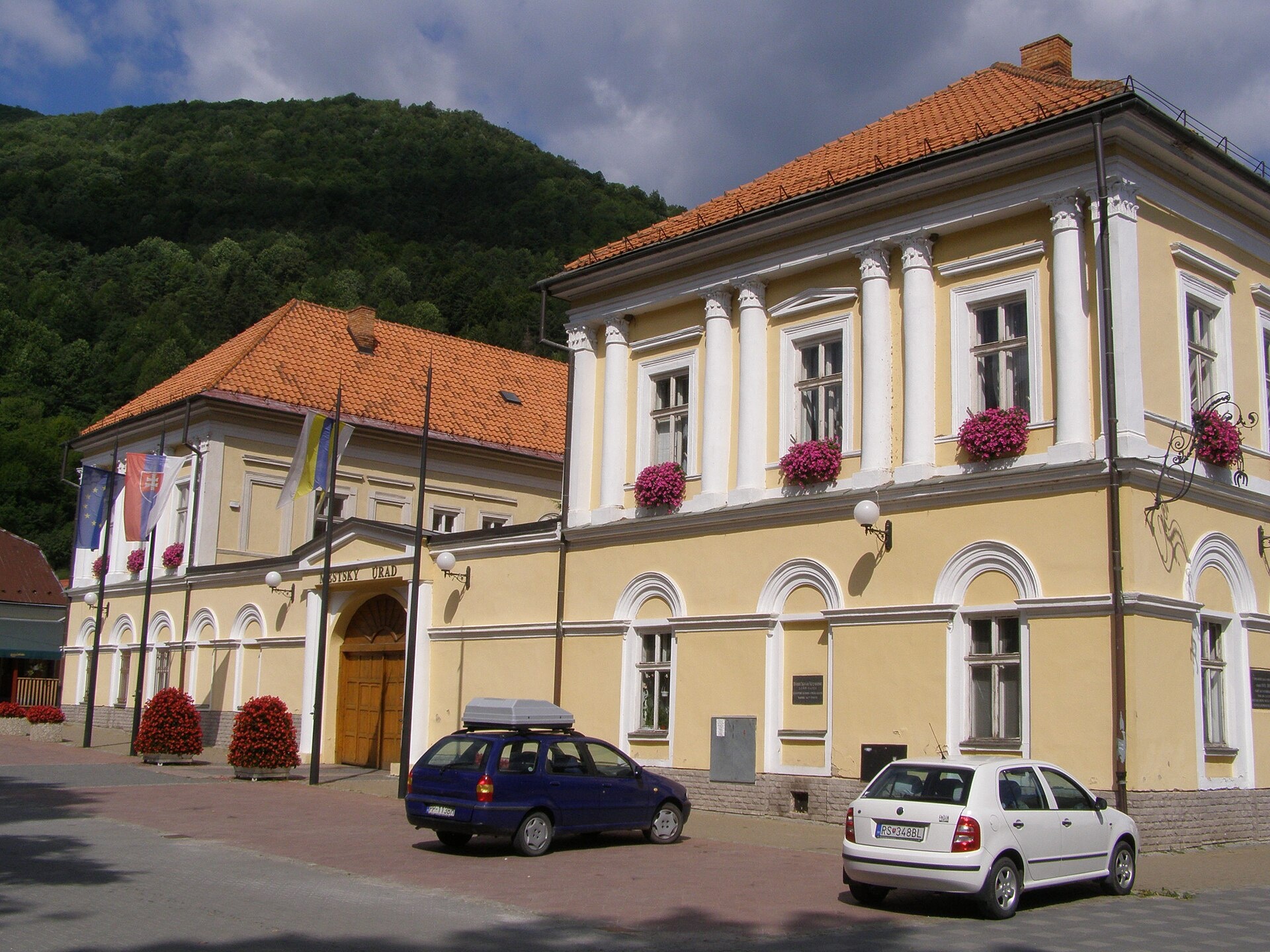
Photos: Daniel Baránek, CC BY-SA 3.0 (Wikimedia Commons); Jan Starec, CC BY-SA 3.0 (Wikimedia Commons); Jan Starec, CC BY-SA 3.0 (Wikimedia Commons); Taz666, CC BY-SA 4.0 (Wikimedia Commons); Daniel Baránek, CC BY-SA 3.0 (Wikimedia Commons); Lukáš Perný, CC BY-SA 4.0 (Wikimedia Commons)
Tisovec is a town and municipality in Slovakia, located in the Rimavská Sobota District of the Banská Bystrica Region. It lies on the floodplain and terraces of the Rimava valley, at the intersection of the western and eastern parts of the Slovak Ore Mountains. The town is set among picturesque mountain landscapes, with elevations ranging from 390 to 1439 m above sea level. The Furmanec river flows through the town, and the surrounding mountains shape the area's distinctive terrain.
The first written mention of Tisovec dates back to 1334, during the reign of King Charles I of Hungary, under the name Tizolc. The town's name comes from the yew tree, which grows in the hills nearby. Tisovec received its town charter at the end of the 15th century. Its development was slowed by Ottoman raids in the 16th and 17th centuries, but the town experienced a renaissance in 1780 when Maria Theresa renewed its market privileges.
Tisovec is known for its proximity to the Muránska planina plateau and the natural riches of the Slovak Ore Mountains. The area has a tradition of lime mining and machine building. The town offers touristic potential due to its karst landscapes and a mineral water spring. Yew trees, after which the town is named, are found in the local forests.
Visitors can explore more than 30 hiking trails, such as "Tisovec, square – Hradová – Tisovec, station", "Tisovec, station – Roveň – Bánovo saddle", "Ore Main Trail: Kadak – Stolica", and "Kokava nad Rimavicou – Dielik". Notable sights in the area include Muránsky Hrad and Veľká Lúka on the Muránska planina. For traditional experiences, visit Salaš Zbojská on the pass for sheep cheese and bryndza, or the Blueberry Garden in Ratkovské Bystré for berry picking and aronia juice tasting.
Getting there from Ukraine
From Uzhhorod to Brezno is about 274 km, around 3 h 50 min without queues: Uzhhorod – Vyšné Nemecké → I/19 to Košice → D1 via Prešov and Poprad to the exit near Liptovský Hrádok → I/18 and I/72 over the Čertovica Pass to Brezno. To Banská Bystrica is about 322 km, around 4 h 30 min: D1 to Ružomberok, then I/59 via Donovaly. From Lviv: to Brezno via Uzhok and Ubľa is about 498 km (approx. 7 h 45 min) or through Poland about 554 km (approx. 7 h 05 min); to Banská Bystrica through Poland (Kraków – Chyżne – Trstená – Dolný Kubín – Ružomberok) is about 535 km, around 7 h 15 min. The D1 requires an e-vignette (eznamka.sk).
Sources: Wikipedia, Wikidata, OpenStreetMap, Karpaty.rocks data. More on Wikipedia
Trails nearby
All trails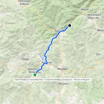 HardTwo-dayMarkedKokava nad Rimavicou DielikElevation profile329–652 m23.5 kmascent 936 m≈ 7.5 h walkingunder 1 km from the centre
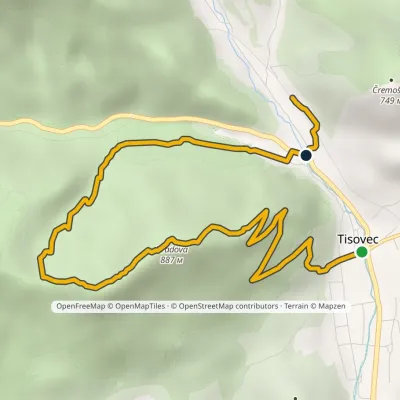 EasyOne-dayMarkedTisovec, square Tisovec, stationvia HradováElevation profile408–887 m7.6 kmascent 488 m≈ 3 h walkingunder 1 km from the centre
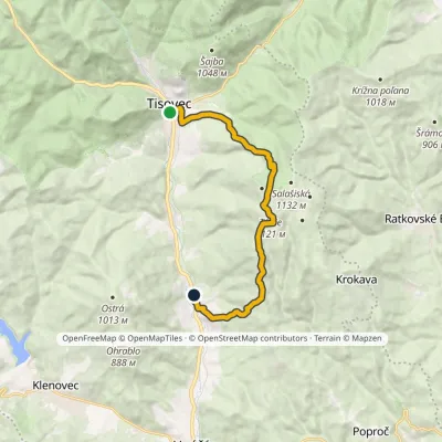 ModerateOne-dayMarkedTisovec, square Hačava, monumentElevation profile346–1 121 m13.8 kmascent 731 m≈ 5 h walkingunder 1 km from the centre
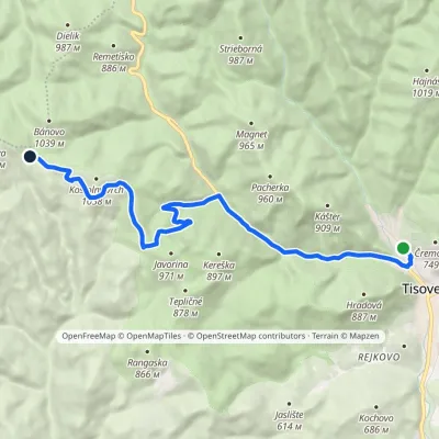 ModerateOne-dayMarkedTisovec, station Saddle Bánovovia RoveňElevation profile418–971 m13.4 kmascent 614 m≈ 4.5 h walkingunder 1 km from the centre
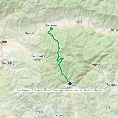 HardTwo-dayMarkedPolomka, station Tisovec, stationvia Fabova hoľaElevation profile422–1 439 m28.4 kmascent 911 m≈ 9 h walkingunder 1 km from the centre
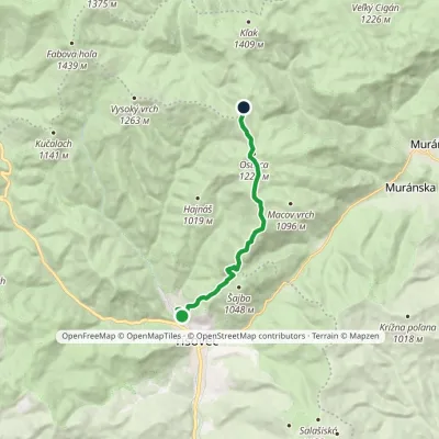 ModerateOne-dayMarkedTisovec, station SivákováElevation profile435–1 218 m9.9 kmascent 811 m≈ 4 h walking1.2 km from the centre
Peaks nearby
All peaks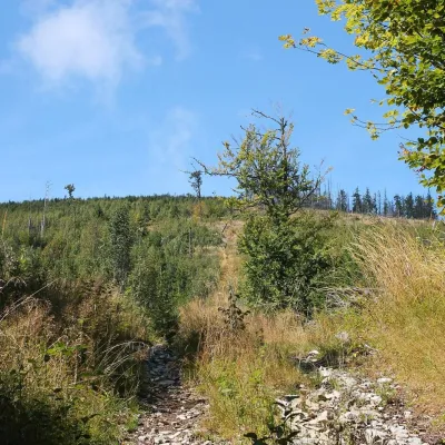 PeakFabova hoľaPohronská Polhoraaltitude 1 439 m11 km from the centreFabova hoľa (Polish Fabowa Hala) is the highest summit of the Vepor Mountains (1439 m), part of the Slovak Ore Mountains.
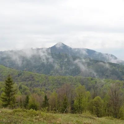 PeakKlenovský VeporPohronská Polhoraaltitude 1 338 m13 km from the centreKlenovský Vepor is a massive 1338.2 m summit in the Veporské vrchy, part of the Slovak Ore Mountains. It is the second-highest summit of the Veporské vrchy and the...
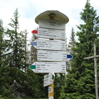 PeakStolicaMuránska Zdychavaaltitude 1 476 m22 km from the centreStolica (Hungarian Sztolica) is the highest peak of the Stolické vrchy and of the entire Slovak Ore Mountains at 1,476 m.
What to visit
All Cheese dairies & pasturesSalaš Zbojská: sheep’s cheese, bryndza and žinčica on the passTisovec9.6 km from the centreThe Zbojská pass lies at about 740 metres in the forests between Brezno and Tisovec, on the edge of the Hron valley and the Muránska planina plateau.
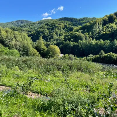 Eco farmsČučoriedková záhrada: pick-your-own blueberries and aronia juiceRatkovské Bystré9.8 km from the centreHere in 2010 the owners’ family planted the first Canadian blueberry bushes on a small plot — and gradually grew them into the Čučoriedková záhrada (Blueberry Garden).
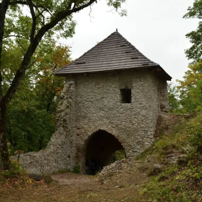 CastleMuráň CastleMuráň12 km from the centreMuráň Castle (Muránsky hrad, officially Muráň) is the ruin of a medieval castle on the summit of Cigánka (935 m) at the southern edge of the Muránska planina plateau,...
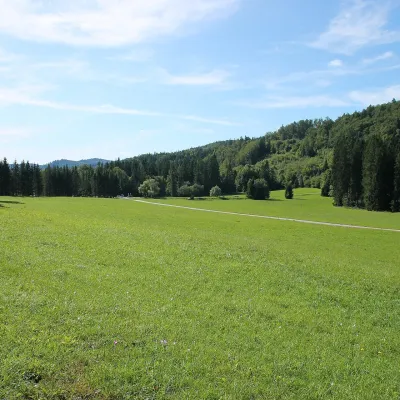 Mountain meadowVeľká lúka on Muránska planinaMuráňaltitude 887 m14 km from the centreVeľká lúka («the Great Meadow») is a huge mountain meadow on the limestone Muránska planina plateau north of the village of Muráň, in the south-eastern part of the...
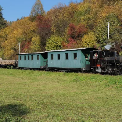 Historic siteČierny Hron Forest RailwayČierny Balog22 km from the centreThe Čierny Hron Railway (Čiernohronská železnica, ČHŽ) is a historic 760 mm narrow-gauge forest railway in the village of Čierny Balog in the Horehronie region.
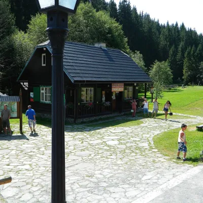 MuseumVydrovo Forestry Open-Air MuseumČierny Balog23 km from the centreThe Vydrovo Forestry Open-Air Museum (Lesnícky skanzen Vydrovo) is devoted to the forest and the work of foresters.
Craft nearby
All craft places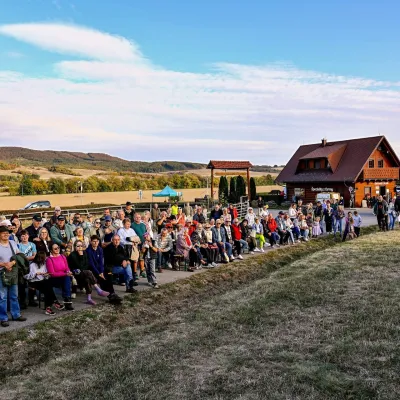
Huts, shelters and springs nearby
Getting there from Ukraine
Border crossings
- Uzhhorod – Vyšné Nemecké — road, 24/7
- Malyi Bereznyi – Ubľa — road, 24/7 For cars and buses; pedestrians not confirmed by the Ukrainian border service, lorries up to 3.5 t.
- Mali Selmentsi – Veľké Slemence (pedestrian) — pedestrian, 09:00–21:00 Kyiv time Pedestrians and cyclists only; inconvenient for the Tatras without onward transport.
- Chop – Čierna nad Tisou (rail) — rail, 24/7
By car
From Uzhhorod to Brezno ≈274 km, ≈3 h 50 min without queues: Uzhhorod – Vyšné Nemecké → I/19 to Košice → D1 via Prešov and Poprad to the exit near Liptovský Hrádok → I/18 and I/72 over the Čertovica Pass to Brezno. To Banská Bystrica ≈322 km, ≈4 h 30 min: D1 to Ružomberok, then I/59 via Donovaly. From Lviv: to Brezno via Uzhok and Ubľa ≈498 km (≈7 h 45 min) or through Poland ≈554 km (≈7 h 05 min); to Banská Bystrica through Poland (Kraków – Chyżne – Trstená – Dolný Kubín – Ružomberok) ≈535 km, ≈7 h 15 min. The D1 requires an e-vignette (eznamka.sk).
Checked 23.10.2026; border crossing hours and timetables change — check before you travel.
