Klenovec
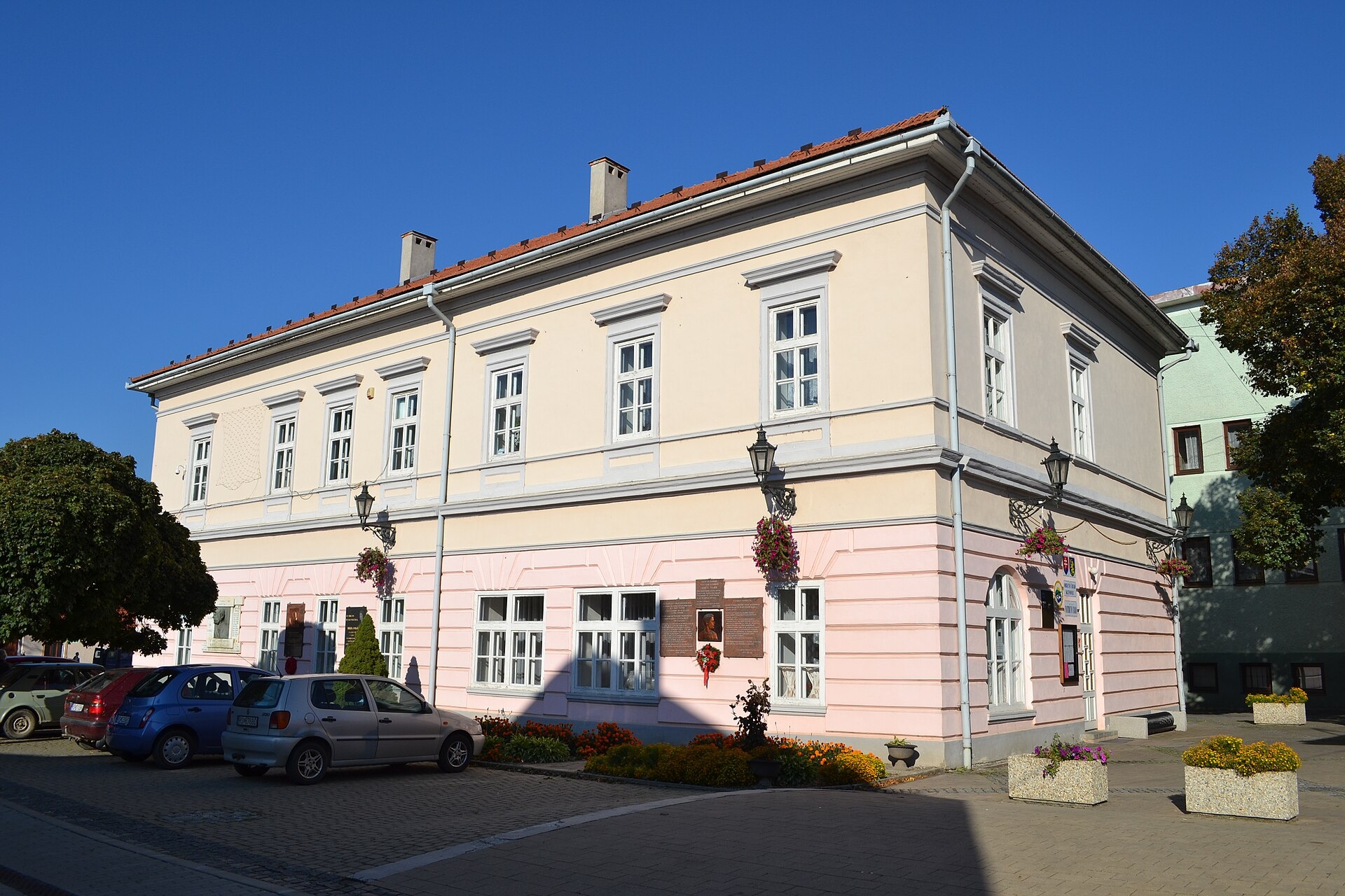
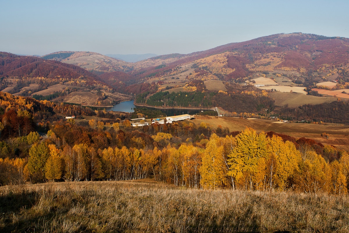
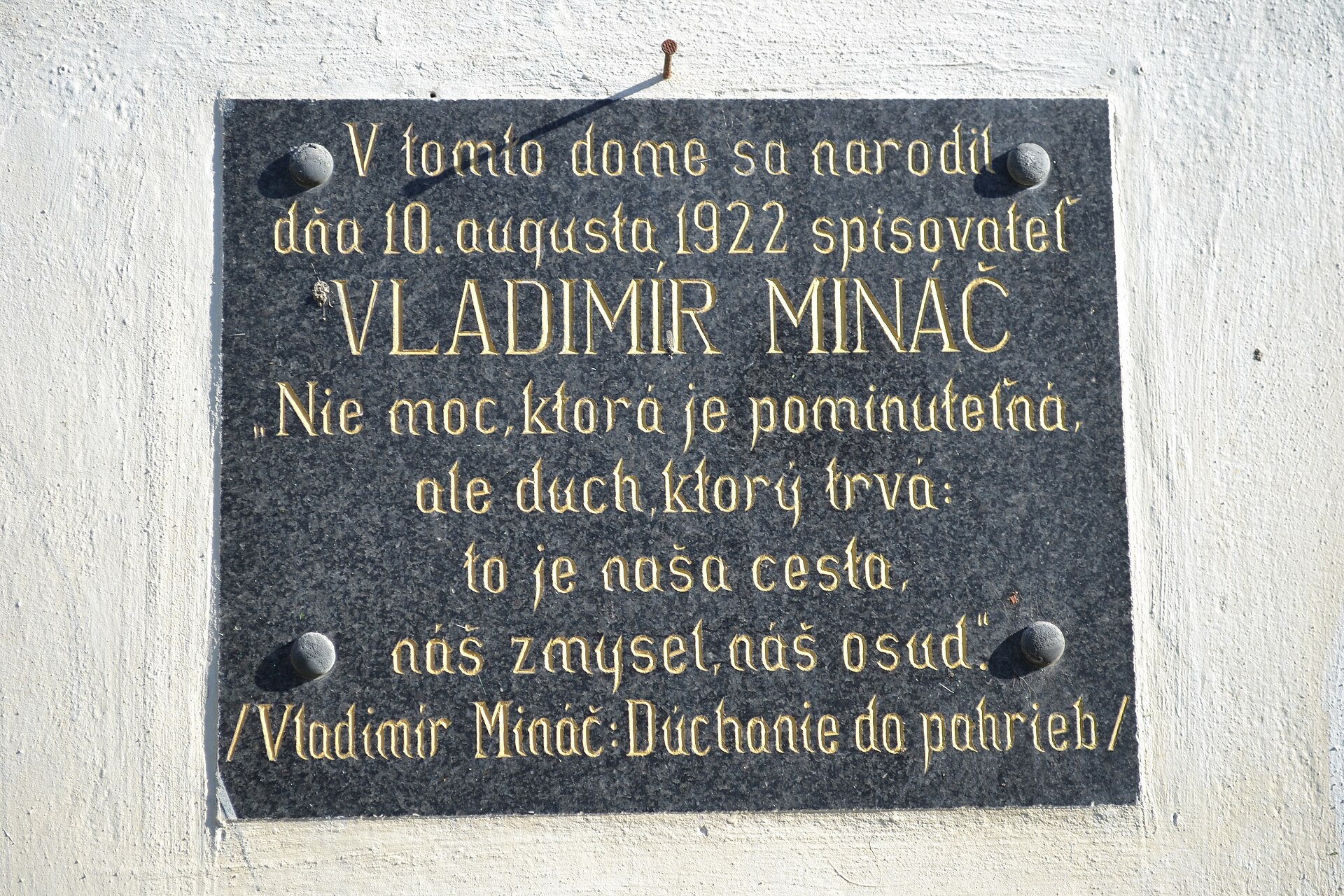
Photos: Ladislav Luppa, CC BY-SA 4.0 (Wikimedia Commons); Marian Lacko, CC BY 3.0 (Wikimedia Commons); Ladislav Luppa, CC BY-SA 4.0 (Wikimedia Commons)
Klenovec is a village in Slovakia.
Elevation: about 358 m above sea level. Population: 2,942 (2025). Mountains nearby: Slovak Ore Mountains.
Here and nearby on the site: 3 trails.
Facts: Wikidata, OpenStreetMap. More on Wikipedia
What's nearby
Trails nearby
All trails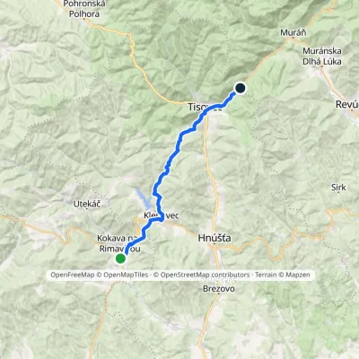 HardTwo-dayMarkedKokava nad Rimavicou DielikElevation profile329–652 m23.5 kmascent 936 m≈ 7.5 h walkingunder 1 km from the centre
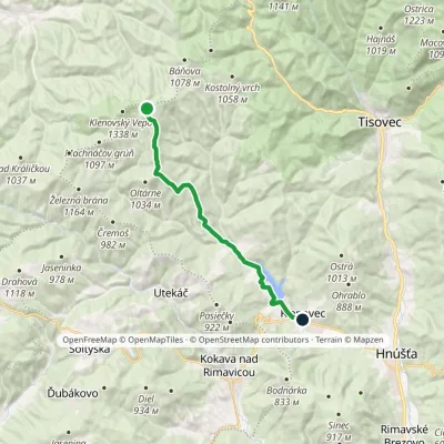 ModerateOne-dayMarkedKlenovec, square Sedlo pod VartouElevation profile339–1 130 m16.1 kmascent 88 m≈ 4 h walkingunder 1 km from the centre
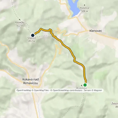 EasyOne-dayMarkedSinec, Bodnárka Slopovo, Lazvia Chorepa, saddleElevation profile547–853 m5.4 kmascent 308 m≈ 2 h walking1.7 km from the centre
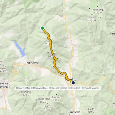 EasyOne-dayMarkedHnúšťa, station Saddle BabináElevation profile293–1 013 m9.6 kmascent 265 m≈ 3 h walking2.6 km from the centre
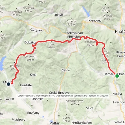 HardMulti-dayMarkedRimavská Baňa, station MálinecElevation profile254–995 m36.5 kmascent 1 499 m≈ 12 h walking3 km from the centre
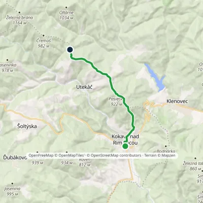 ModerateOne-dayMarkedKokava nad Rimavicou Cisárska hoľaElevation profile333–922 m10 kmascent 769 m≈ 4 h walking3.2 km from the centre
Peaks nearby
All peaks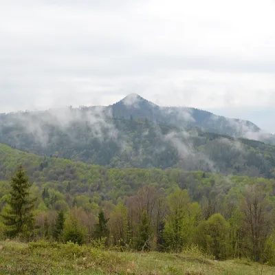 PeakKlenovský VeporPohronská Polhoraaltitude 1 338 m14 km from the centreKlenovský Vepor is a massive 1338.2 m summit in the Veporské vrchy, part of the Slovak Ore Mountains. It is the second-highest summit of the Veporské vrchy and the...
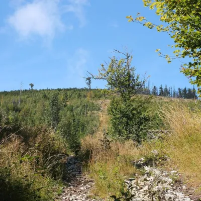 PeakFabova hoľaPohronská Polhoraaltitude 1 439 m20 km from the centreFabova hoľa (Polish Fabowa Hala) is the highest summit of the Vepor Mountains (1439 m), part of the Slovak Ore Mountains.
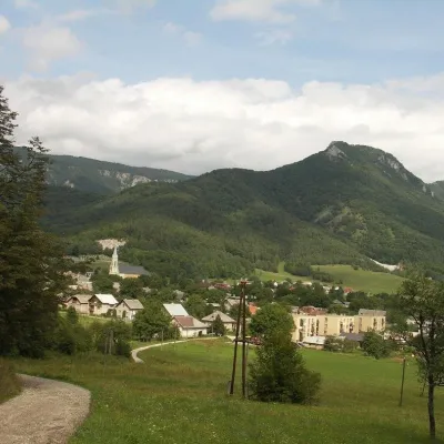 PeakCigánkaMuráňaltitude 935 m22 km from the centreCigánka is a 935 m summit on the south-eastern edge of the Muránska planina plateau, in the Spiš-Gemer Karst, part of the Slovak Ore Mountains.
What to visit
All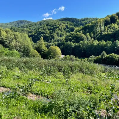 Eco farmsČučoriedková záhrada: pick-your-own blueberries and aronia juiceRatkovské Bystré13 km from the centreHere in 2010 the owners’ family planted the first Canadian blueberry bushes on a small plot — and gradually grew them into the Čučoriedková záhrada (Blueberry Garden).
 Cheese dairies & pasturesSalaš Zbojská: sheep’s cheese, bryndza and žinčica on the passTisovec17 km from the centreThe Zbojská pass lies at about 740 metres in the forests between Brezno and Tisovec, on the edge of the Hron valley and the Muránska planina plateau.
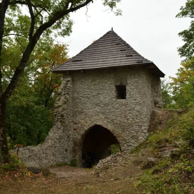 CastleMuráň CastleMuráň22 km from the centreMuráň Castle (Muránsky hrad, officially Muráň) is the ruin of a medieval castle on the summit of Cigánka (935 m) at the southern edge of the Muránska planina plateau,...
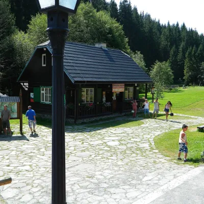 MuseumVydrovo Forestry Open-Air MuseumČierny Balog24 km from the centreThe Vydrovo Forestry Open-Air Museum (Lesnícky skanzen Vydrovo) is devoted to the forest and the work of foresters.
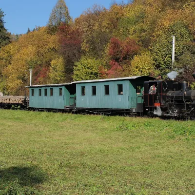 Historic siteČierny Hron Forest RailwayČierny Balog24 km from the centreThe Čierny Hron Railway (Čiernohronská železnica, ČHŽ) is a historic 760 mm narrow-gauge forest railway in the village of Čierny Balog in the Horehronie region.
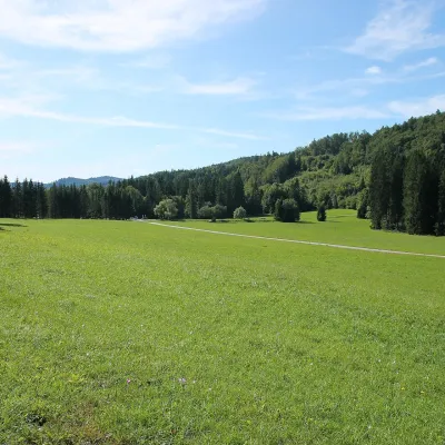 Mountain meadowVeľká lúka on Muránska planinaMuráňaltitude 887 m24 km from the centreVeľká lúka («the Great Meadow») is a huge mountain meadow on the limestone Muránska planina plateau north of the village of Muráň, in the south-eastern part of the...
Craft nearby
All craft places
Huts, shelters and springs nearby
Getting there from Ukraine
Border crossings
- Uzhhorod – Vyšné Nemecké — road, 24/7
- Malyi Bereznyi – Ubľa — road, 24/7 For cars and buses; pedestrians not confirmed by the Ukrainian border service, lorries up to 3.5 t.
- Mali Selmentsi – Veľké Slemence (pedestrian) — pedestrian, 09:00–21:00 Kyiv time Pedestrians and cyclists only; inconvenient for the Tatras without onward transport.
- Chop – Čierna nad Tisou (rail) — rail, 24/7
By car
From Uzhhorod to Brezno ≈274 km, ≈3 h 50 min without queues: Uzhhorod – Vyšné Nemecké → I/19 to Košice → D1 via Prešov and Poprad to the exit near Liptovský Hrádok → I/18 and I/72 over the Čertovica Pass to Brezno. To Banská Bystrica ≈322 km, ≈4 h 30 min: D1 to Ružomberok, then I/59 via Donovaly. From Lviv: to Brezno via Uzhok and Ubľa ≈498 km (≈7 h 45 min) or through Poland ≈554 km (≈7 h 05 min); to Banská Bystrica through Poland (Kraków – Chyżne – Trstená – Dolný Kubín – Ružomberok) ≈535 km, ≈7 h 15 min. The D1 requires an e-vignette (eznamka.sk).
Checked 23.10.2026; border crossing hours and timetables change — check before you travel.
