Žiar nad Hronom District
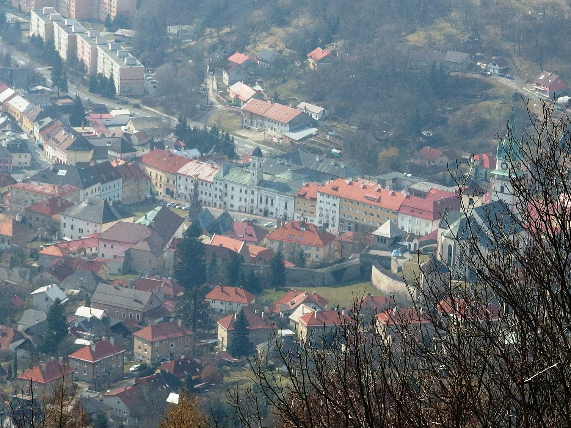
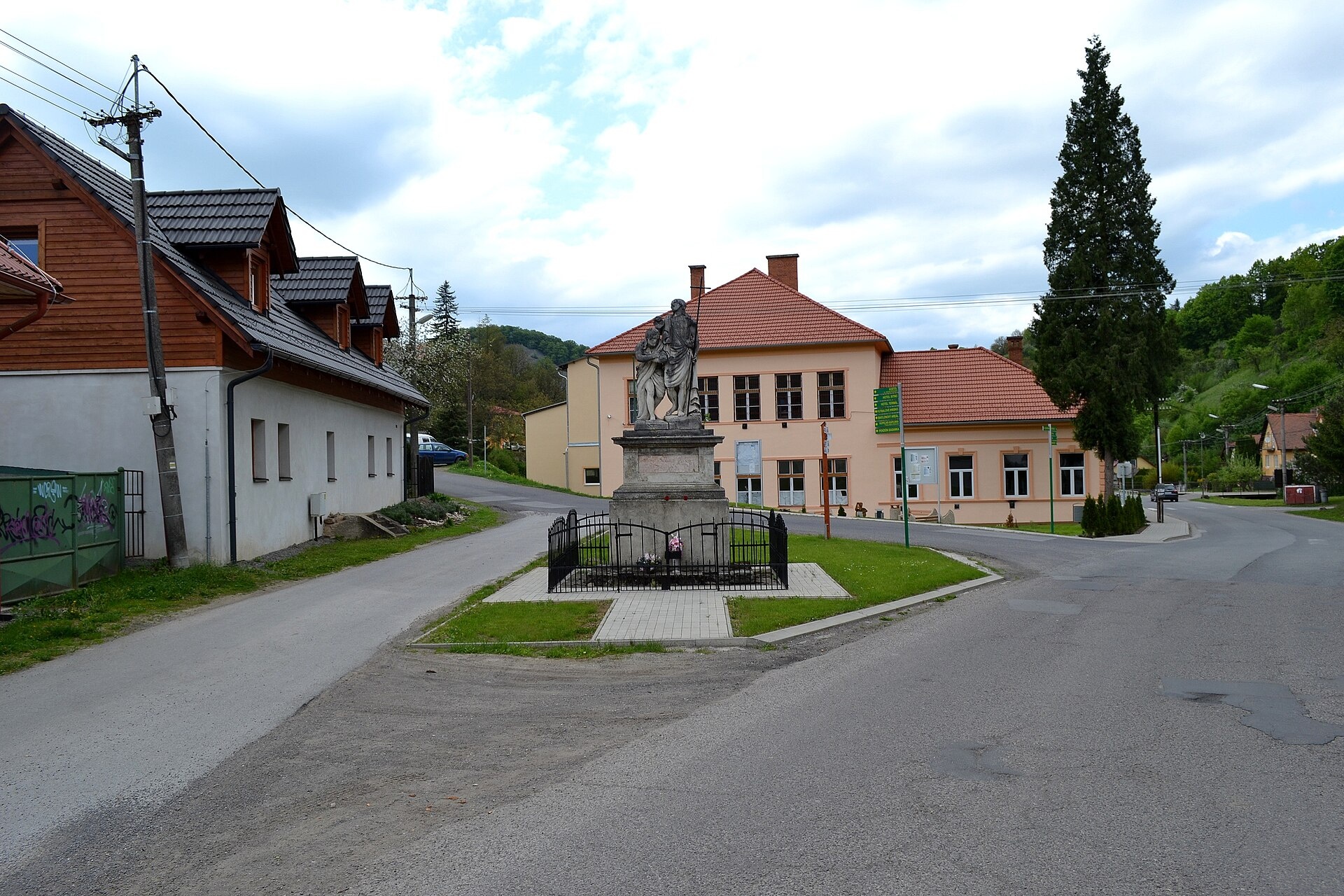
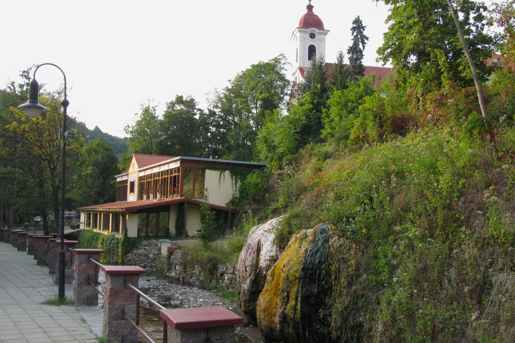
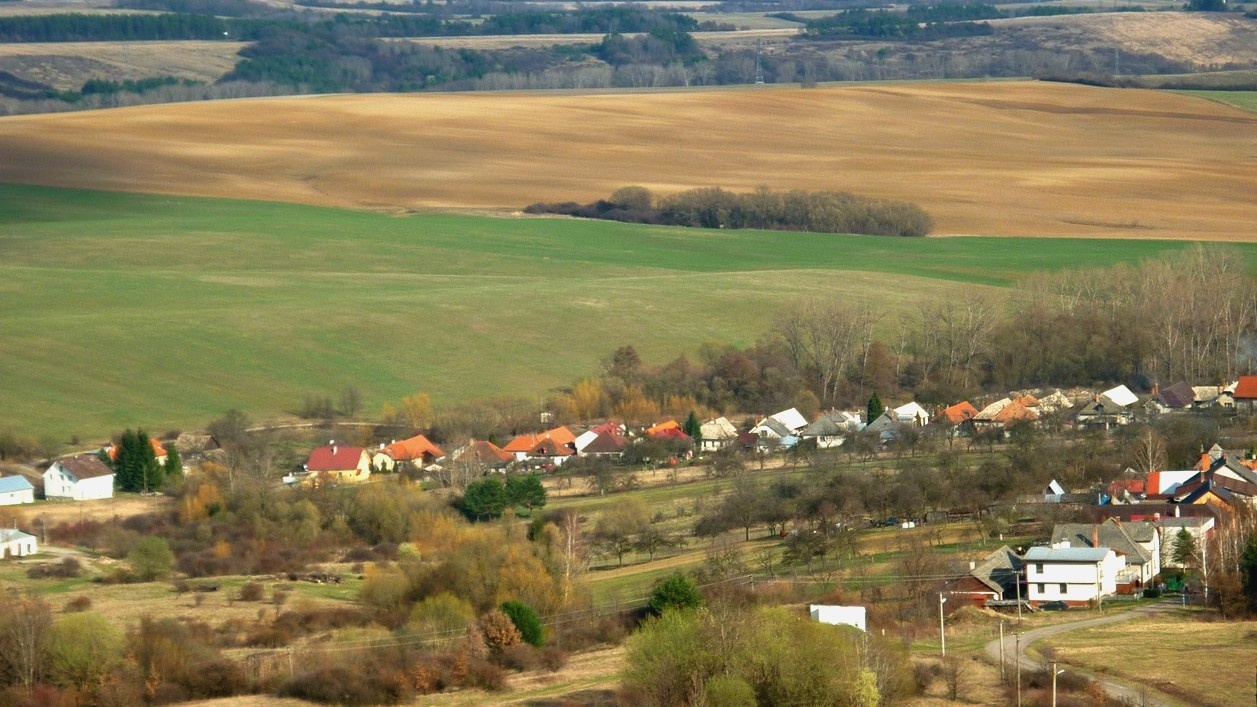
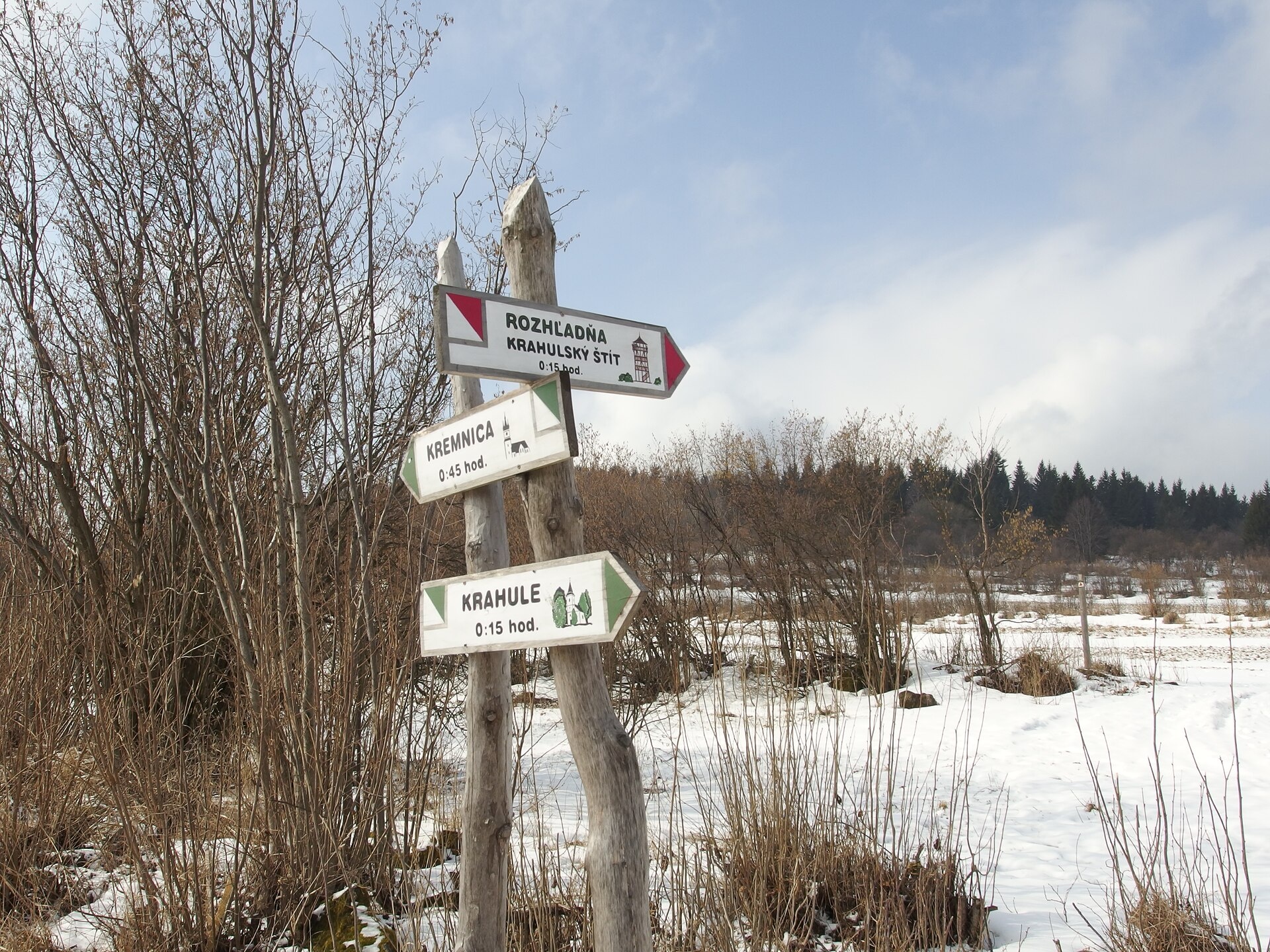
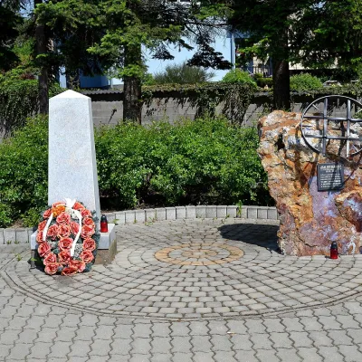
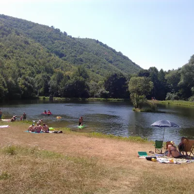
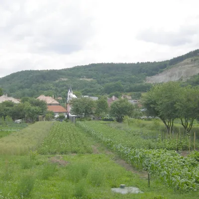
Photos: Kremnica (Michal Jakubský, CC BY 3.0); Vyhne (Ľuboš Repta, CC BY-SA 4.0); Sklené Teplice (A.fiedler, CC BY-SA 3.0); Prestavlky (kovop, CC BY 3.0); Krahule (Michal Jakubský, CC BY 3.0)
Žiar nad Hronom District is an administrative unit in Slovakia (Banská Bystrica Region). On the site here: 39 trails, 2 peaks, 1 sight, 1 craft place, 2 spas and thermal pools, 18 settlements.
Facts: Wikidata, OpenStreetMap.
Towns and villages
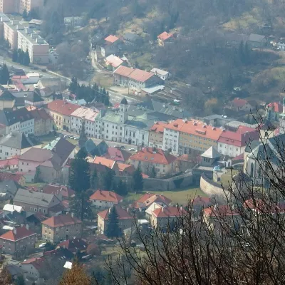 Kremnica8 trails, 2 peaks, 1 sight
 Bzenica4 trails
 Prochot4 trails
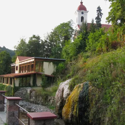 Sklené Teplice3 trails, 1 spa or thermal pool
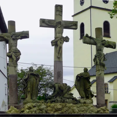 Hliník nad Hronom3 trails
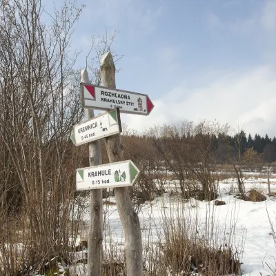 Krahule3 trails
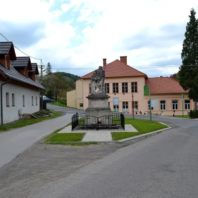 Vyhne1 trail, 1 spa or thermal pool
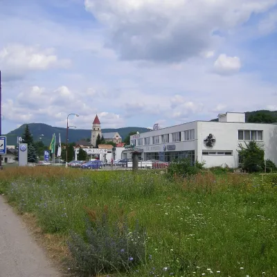 Ladomerská Vieska2 trails
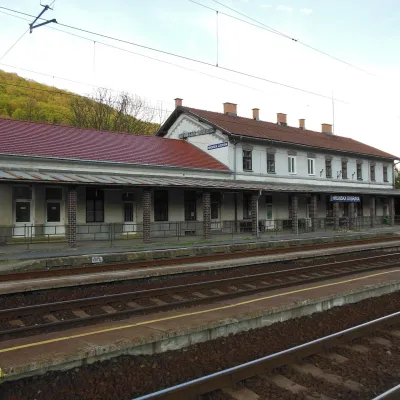 Hronská Dúbrava2 trails
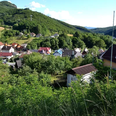 Bartošova Lehôtka2 trails
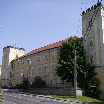 Žiar nad Hronom1 trail
 Lutila1 trail
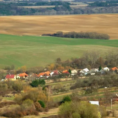 Prestavlky1 trail
 Jastrabá1 trailHorná Ždaňa1 trail
 Ihráč1 trail
 Lehôtka pod Brehmi1 trailKremnické Bane
Getting there from Ukraine
Border crossings
- Uzhhorod – Vyšné Nemecké — road, 24/7
- Malyi Bereznyi – Ubľa — road, 24/7 For cars and buses; pedestrians not confirmed by the Ukrainian border service, lorries up to 3.5 t.
- Mali Selmentsi – Veľké Slemence (pedestrian) — pedestrian, 09:00–21:00 Kyiv time Pedestrians and cyclists only; inconvenient for the Tatras without onward transport.
- Chop – Čierna nad Tisou (rail) — rail, 24/7
By car
From Uzhhorod ≈275 km, ≈3 h 35 min without queues: Uzhhorod – Vyšné Nemecké → I/19 to Košice → D1 motorway via Prešov, Poprad and Liptovský Mikuláš to Ružomberok (≈270 km, ≈3 h 25 min from the border). From Lviv it is faster through Poland: M-10 → Krakovets – Korczowa → A4 to Kraków → S7/DK7 to the Chyżne – Trstená border → R3 and I/59 via Dolný Kubín to Ružomberok: ≈482 km, ≈6 h 15 min (via Uzhok and Ubľa ≈500 km, ≈7 h 30 min). The D1 requires an e-vignette (eznamka.sk).
Checked 23.10.2026; border crossing hours and timetables change — check before you travel.
