Žiar nad Hronom
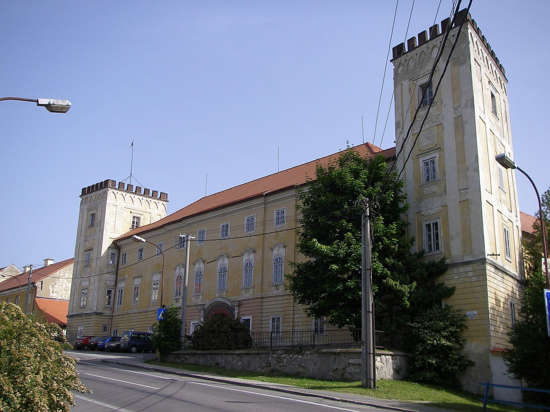
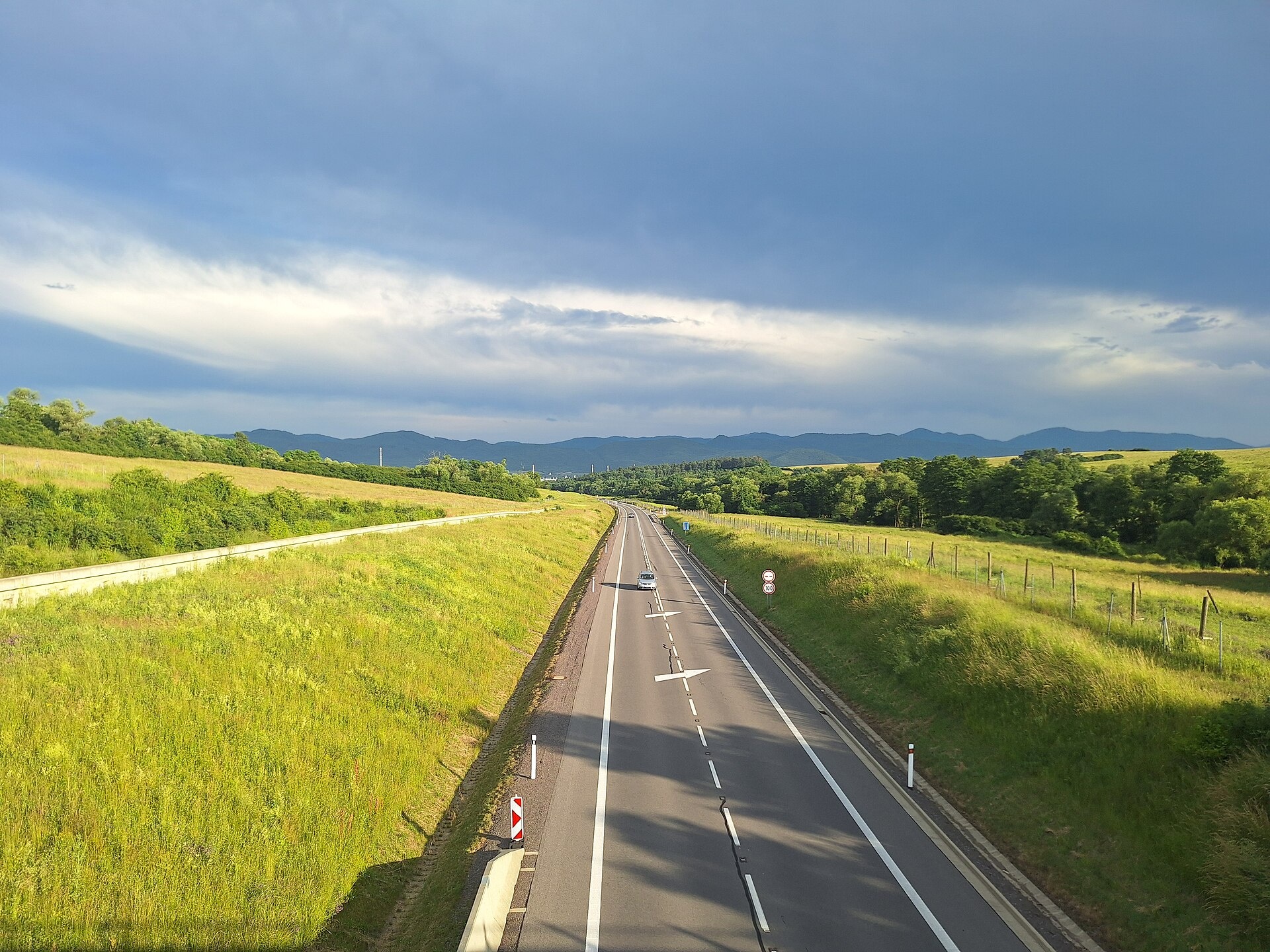
Photos: Foxburg, Public domain (Wikimedia Commons); kovop, CC BY 3.0 (Wikimedia Commons); Lexie1969, CC BY 4.0 (Wikimedia Commons)
Žiar nad Hronom is a town in Slovakia.
Elevation: about 272 m above sea level. Population: 16,433 (2025). Mountains nearby: Strážov Mountains.
Here and nearby on the site: 1 trail.
Facts: Wikidata, OpenStreetMap. More on Wikipedia
What's nearby
Trails nearby
All trails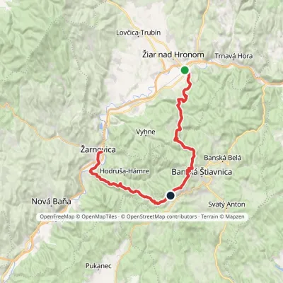 HardMulti-dayMarkedŽarnovica, station Žiar nad Hronom, stationElevation profile210–940 m42.1 kmascent 2 364 m2 km from the centre
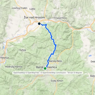 ModerateTwo-dayMarkedBanská Štiavnica, square Žiar nad Hronom, stationElevation profile250–814 m20.9 kmascent 577 m≈ 6.5 h walking2 km from the centre
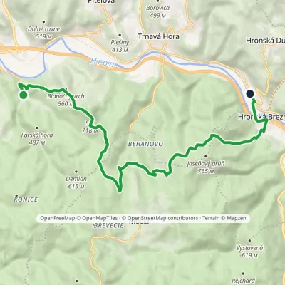 ModerateOne-dayMarkedŠášovské Podhradie Hronská DúbravaElevation profile262–718 m14.6 kmascent 709 m≈ 5 h walking3.7 km from the centre
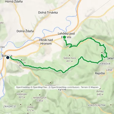 ModerateTwo-dayMarkedBzenica Lehôtka pod BrehmiElevation profile230–633 m17.3 kmascent 614 m≈ 5.5 h walking5.4 km from the centre
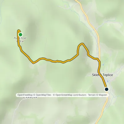 EasyOne-dayMarkedSklené Teplice Pustý hradElevation profile342–629 m2.4 kmascent 14 m≈ 45 min walking6.4 km from the centre
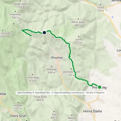 ModerateOne-dayMarkedPrestavlky Prochotský potokElevation profile323–940 m12 kmascent 825 m≈ 4.5 h walking6.8 km from the centre
Peaks nearby
All peaks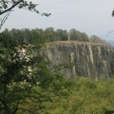 PeakBiela skala (Biely kameň)Handlováaltitude 1 135 m16 km from the centreBiela skala (older name, still used on most maps: Biely kameň; Polish Biały Kamień) is a partly rocky 1135 m summit in the Vtáčnik mountains of Slovakia.
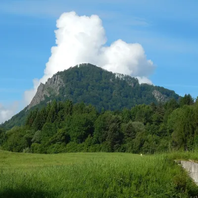 PeakVeľký GričHandlováaltitude 971 m17 km from the centreVeľký Grič (German Donnerstein) is a striking, partly rocky mountain 971 m high in the volcanic Vtáčnik range in central Slovakia.
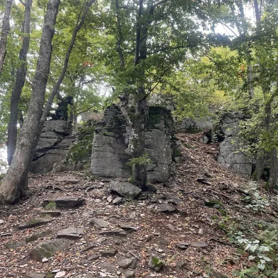 PeakVelestúrKremnicaaltitude 1 254 m17 km from the centreVelestúr is a 1254 m summit on the main ridge of the Kremnica Mountains (Kremnické vrchy) in Slovakia.
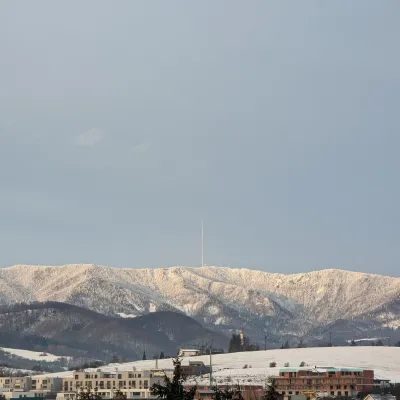 PeakSkalka (Kremnica Mountains)Kremnicaaltitude 1 232 m20 km from the centreSkalka (formerly Suchá hora) is a 1232 m peak on the main ridge of the Kremnica Mountains (Kremnické vrchy) in central Slovakia.
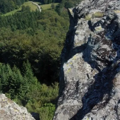 PeakBuchlov (Vtáčnik)Čereňanyaltitude 1 040 m21 km from the centreBuchlov is a prominent rocky peak, 1,040 m high, in the Vtáčnik mountains of central Slovakia. It should not be confused with the castle hill of the same name in the...
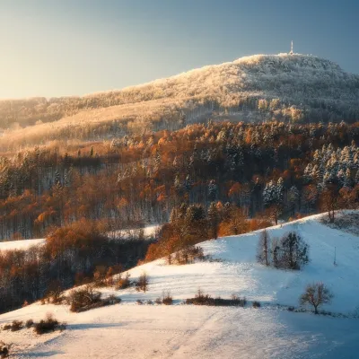 PeakSitnoIlijaaltitude 1 009 m21 km from the centre1 trail to the topSitno (Hungarian Szitnya) is the highest peak of the Štiavnica Mountains at 1,009 m, close to the historic mining town of Banská Štiavnica in central Slovakia.
What to visit
All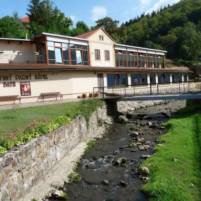 Water parks & thermal poolsSklené Teplice: Parenica cave steam bath and thermal bathsSklené Teplice7.2 km from the centreSklené Teplice is a small spa in a wooded valley of the Štiavnické vrchy hills, a few kilometres from the Hron valley and about 8 km from Banská Štiavnica.
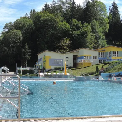 Water parks & thermal poolsVodný raj thermal pools in VyhneVyhne11 km from the centreVodný raj Vyhne ("Water Paradise") is a public pool complex with thermal water in the village of Vyhne, in a quiet wooded valley of the Štiavnické vrchy hills near the...
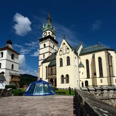 MuseumMuseum of Coins and Medals and Town Castle, KremnicaKremnica13 km from the centreThe National Bank of Slovakia's Museum of Coins and Medals (NBS – Múzeum mincí a medailí) is the country's main numismatic museum, in Kremnica, an old town of gold...
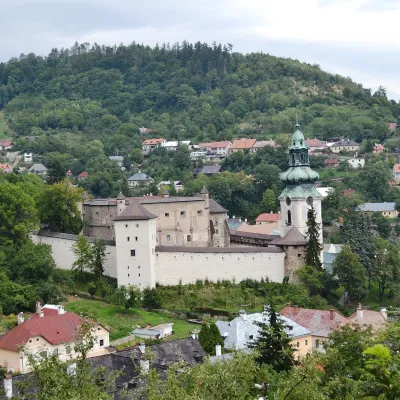 MuseumOld Castle in Banská ŠtiavnicaBanská Štiavnica15 km from the centreThe Old Castle (Starý zámok, officially Mestský hrad — Town Castle) is one of the oldest buildings of Banská Štiavnica, a mining town on the UNESCO World Heritage List.
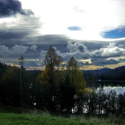 LakeThe Štiavnica tajchy – historic mining lakes of Banská ŠtiavnicaŠtiavnické Bane18 km from the centreThe Štiavnica tajchy are a system of historic artificial lakes in the Štiavnica Mountains (Štiavnické vrchy) around the mining town of Banská Štiavnica in central...
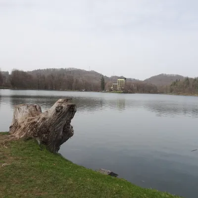 LakePočúvadlo — historic mining lake below SitnoBanská Štiavnica20 km from the centrePočúvadlo (Počúvadlianske jazero) is the largest of the Štiavnica tajchs — historic artificial ponds built by the miners of Banská Štiavnica to drive the machinery of...
Craft nearby
All craft places Craft producersKremnica gingerbread: the Haurík family bakery since 1922Kremnica13 km from the centreKremnica is an old mining town in the Kremnica Mountains where coins have been struck for more than six centuries.
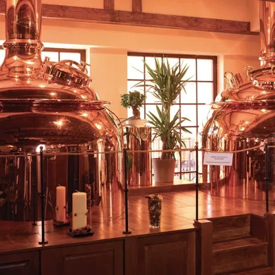 Craft beer & breweriesERB brewery in Banská Štiavnica: brewery tour and tastingBanská Štiavnica15 km from the centreBanská Štiavnica is an old mining town in the caldera of an extinct volcano and a UNESCO World Heritage site.
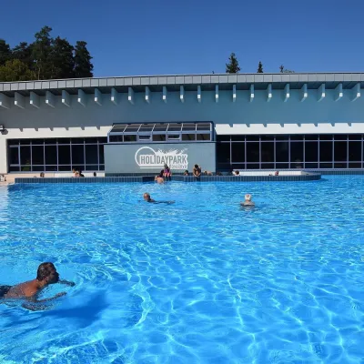 Water parks & thermal poolsKováčová: thermal spa and Holidaypark aquapark near ZvolenKováčová19 km from the centreKováčová is a spa village on the south-western edge of the Zvolen Basin, 4 km west of Zvolen at the foot of the Kremnica Mountains; the village centre lies at 303 m.
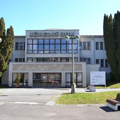 Water parks & thermal poolsSliač spa: warm carbonated water and a thermal swimming areaSliač23 km from the centreSliač is a spa in the Zvolen Basin above the Hron valley, between Zvolen and Banská Bystrica. The spa quarter with its 46-hectare park lies on a slope above the former...
 Craft beer & breweriesUrpiner brewery in Banská Bystrica: tour and beer from the tankBanská Bystrica24 km from the centreBanská Bystrica is the centre of Central Slovakia and grew rich on copper mining in the 14th–16th centuries.
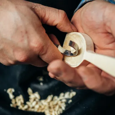 Crafts & workshopsDo dielne, Počúvadlo: woodcarving courses near Banská ŠtiavnicaPočúvadlo25 km from the centreHere, in the quiet among the hills, works the small workshop Do dielne (“To the workshop”). Its owner Dušan Budinský ran a hairdresser’s in Bratislava for eight years,...
Spas and thermal pools nearby
Water parks & thermal poolsSklené Teplice: Parenica cave steam bath and thermal bathsSklené Teplice7.2 km from the centreSklené Teplice is a small spa in a wooded valley of the Štiavnické vrchy hills, a few kilometres from the Hron valley and about 8 km from Banská Štiavnica.Water parks & thermal poolsVodný raj thermal pools in VyhneVyhne11 km from the centreVodný raj Vyhne ("Water Paradise") is a public pool complex with thermal water in the village of Vyhne, in a quiet wooded valley of the Štiavnické vrchy hills near the...Water parks & thermal poolsKováčová: thermal spa and Holidaypark aquapark near ZvolenKováčová19 km from the centreKováčová is a spa village on the south-western edge of the Zvolen Basin, 4 km west of Zvolen at the foot of the Kremnica Mountains; the village centre lies at 303 m.Huts, shelters and springs nearby
Getting there from Ukraine
Border crossings
- Uzhhorod – Vyšné Nemecké — road, 24/7
- Malyi Bereznyi – Ubľa — road, 24/7 For cars and buses; pedestrians not confirmed by the Ukrainian border service, lorries up to 3.5 t.
- Mali Selmentsi – Veľké Slemence (pedestrian) — pedestrian, 09:00–21:00 Kyiv time Pedestrians and cyclists only; inconvenient for the Tatras without onward transport.
- Chop – Čierna nad Tisou (rail) — rail, 24/7
By car
From Uzhhorod to Brezno ≈274 km, ≈3 h 50 min without queues: Uzhhorod – Vyšné Nemecké → I/19 to Košice → D1 via Prešov and Poprad to the exit near Liptovský Hrádok → I/18 and I/72 over the Čertovica Pass to Brezno. To Banská Bystrica ≈322 km, ≈4 h 30 min: D1 to Ružomberok, then I/59 via Donovaly. From Lviv: to Brezno via Uzhok and Ubľa ≈498 km (≈7 h 45 min) or through Poland ≈554 km (≈7 h 05 min); to Banská Bystrica through Poland (Kraków – Chyżne – Trstená – Dolný Kubín – Ružomberok) ≈535 km, ≈7 h 15 min. The D1 requires an e-vignette (eznamka.sk).
Checked 23.10.2026; border crossing hours and timetables change — check before you travel.
