Velestúr
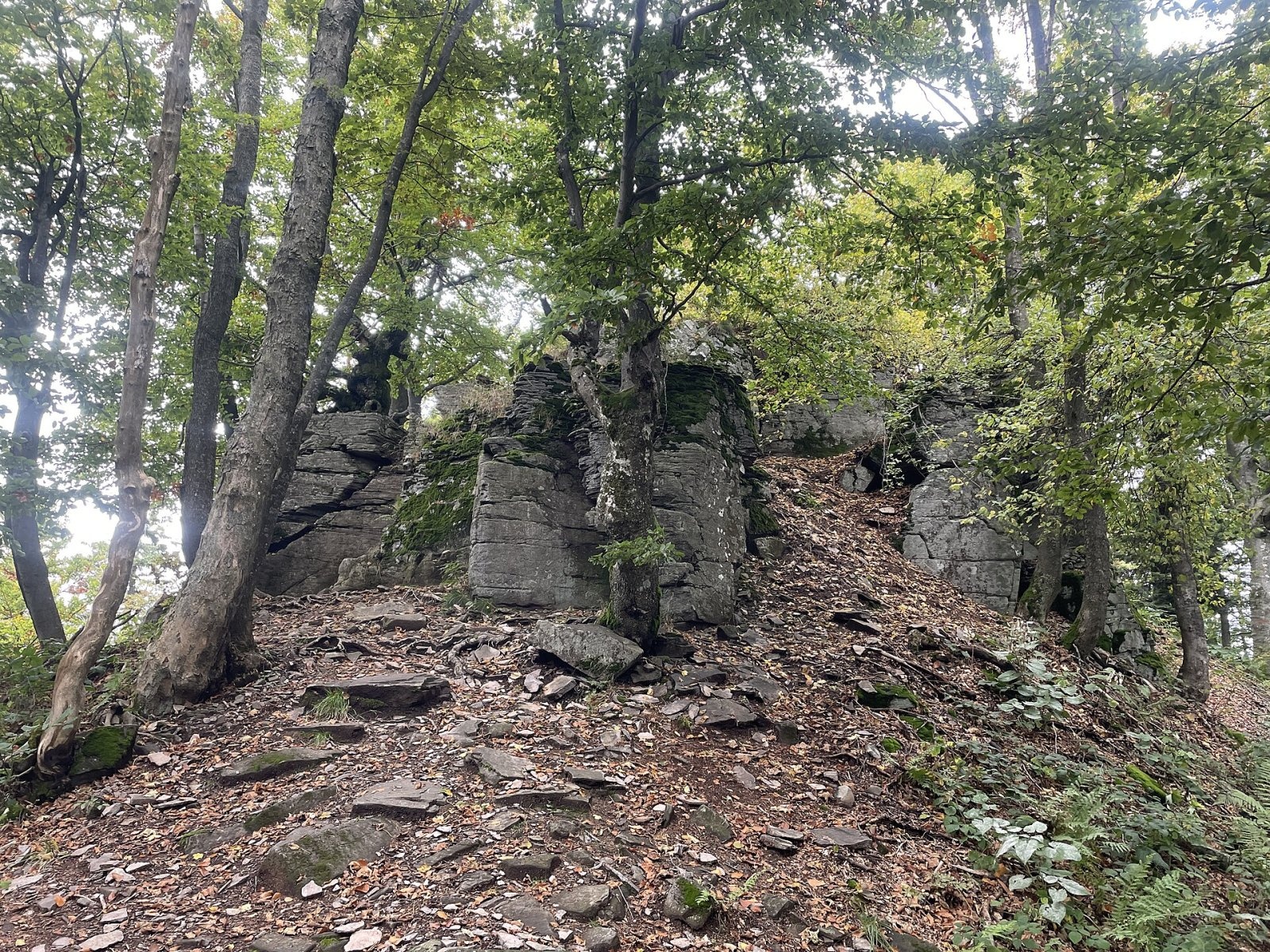
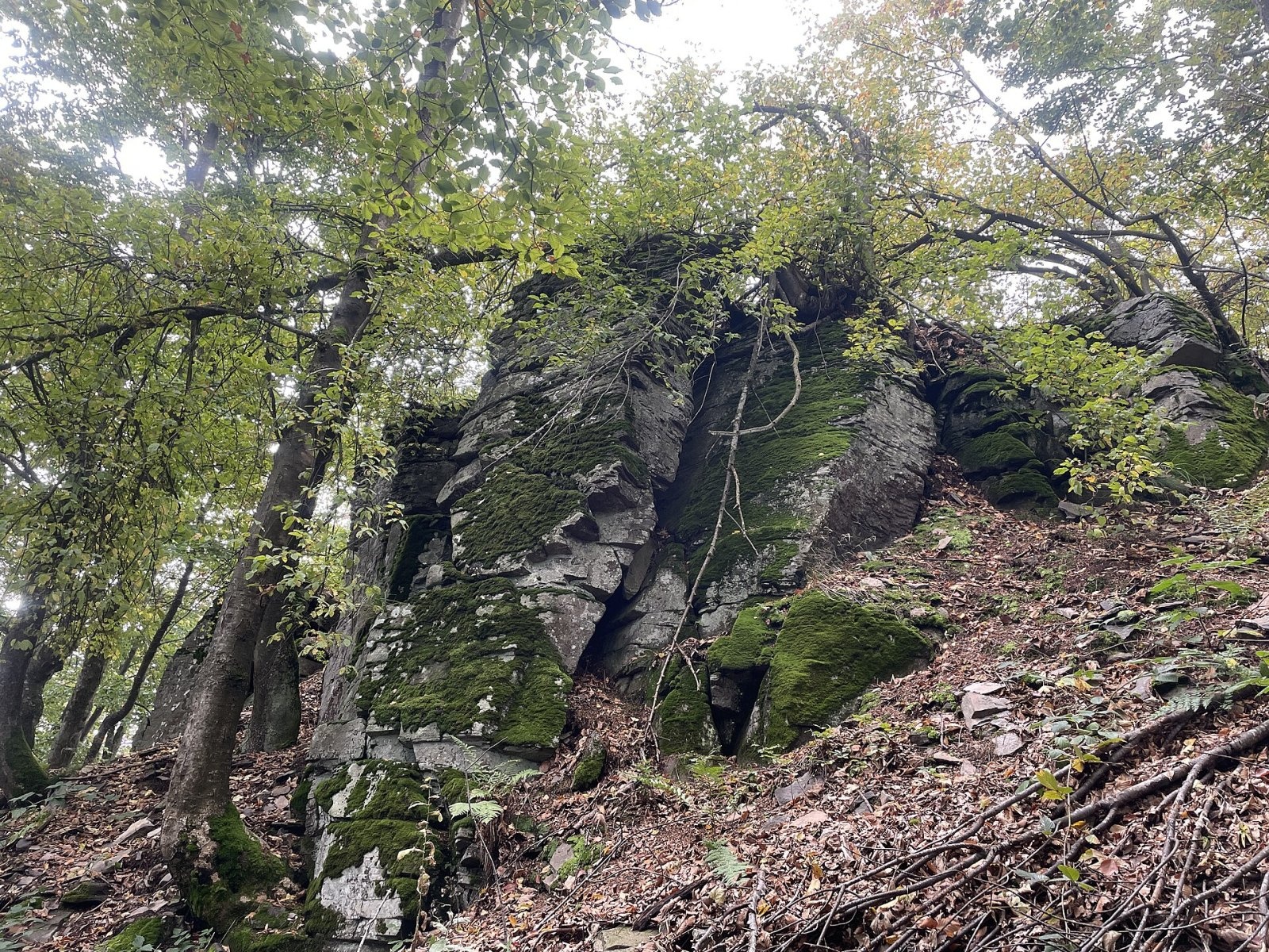
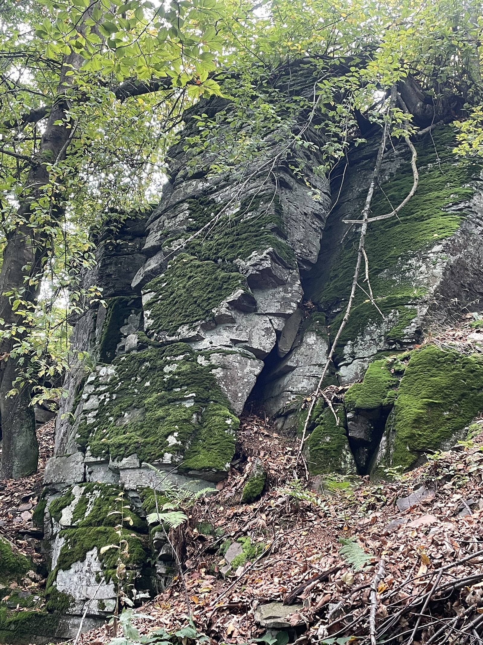
Velestúr is a 1254 m summit on the main ridge of the Kremnica Mountains (Kremnické vrchy) in Slovakia. It rises above the village of Malachov, about 9 km west of Banská Bystrica, on the boundary of Žiar nad Hronom and Banská Bystrica districts; the summit reaches into the lands of the town of Kremnica and of Radvaň, part of Banská Bystrica. The nearest villages as the crow flies are Králiky (about 4 km), Krahule (5 km), Horné Pršany and Malachov (6 km each). The mountain is also known for the so-called Velestúr inscription.
Velestúr belongs to the Flochovský chrbát subunit and is part of a large massif together with Zlatá studňa (1265 m) to the north, linked by an almost level ridge about 700 m long, and Smrečník to the west. It closes the main part of the Flochová ridge to the south, which then branches into spurs towards the Hron valley. A side ridge runs west via Smrečník to Kremnický štít, another south-west to Labušen and Horný chlm, and to the south the ridge descends gently to the Tri kríže saddle. The more dissected eastern slopes drop steeply into the head of the Malachovská dolina. All water drains to the Hron: the east via the Malachovský potok, the north-western slopes via tributaries of the Kremnický potok, and the southern ones feed the sources of the Vápenný potok.
How to get there / routes
The red long-distance trail, the Slovak National Uprising Heroes' Trail, runs along the main ridge over the summit. The nearby Skalka resort, the attractive ridge and a dense network of trails make the summit easy to reach.
- From the north – red trail from Skalka via the Králické sedlo and Zlatá studňa: about 1 h 30 min (back 1 h 15 min).
- From the south – from the Tri kríže saddle: about 20 min (back 15 min). Marked paths lead to the saddle from Malachov, Horné Pršany and Kremnica.
- Yellow trail from the junction at Chata Hostinec: 20 min up, 15 min down. Hostinec is reached from Kremnica and Ihráč.
What you can see from the top
Like the whole Kremnica ridge, Velestúr has few viewpoints. From them, however, you see the neighbouring peaks, the surroundings of Banská Bystrica and distant ranges: in good weather the south-eastern part of the Greater Fatra, the Low Tatras, Poľana, parts of Javorie, the Štiavnica Mountains, Pohronský Inovec, Vtáčnik and the Strážov Mountains. The local landmark is neighbouring Skalka with the Suchá hora transmitter.
Nature and history
Velestúr, like neighbouring Zlatá studňa, is a fragment of the stratovolcanic structure of the Flochová ridge. It is built mostly of andesites and their pyroclastic rocks. The relief is generally gentle; only the summit is crowned by a tall, fractured rock outcrop, and smaller rocks appear on the slopes.
The mountain's best-known story is the Velestúr inscription. It was carved into the rock in what was claimed to be Proto-Slavic, but it is in fact a forgery made in the mid-1860s by the Kremnica archivist and historian Pavol Križko. Today it is barely legible.
Safety, season and rules
The routes to Velestúr are wooded and easy and can be walked all year; in winter the ridge is popular with cross-country skiers. Take care on the fractured summit rock, especially when wet and with children. In fog on the wooded ridge, follow the waymarks. Slovak Mountain Rescue Service (HZS): 18 300 (+421 18 300) or 112.
Interesting facts
- The Velestúr inscription is one of the well-known Slovak historical forgeries of the 19th century.
- From the Tri kríže saddle the summit is only 20 minutes' walk away.
Photos: Peko, CC BY-SA 4.0; Peko, CC BY-SA 4.0; Peko, CC BY-SA 4.0 — Wikimedia Commons.
Getting there from Ukraine
Border crossings
- Uzhhorod – Vyšné Nemecké — road, 24/7
- Malyi Bereznyi – Ubľa — road, 24/7 For cars and buses; pedestrians not confirmed by the Ukrainian border service, lorries up to 3.5 t.
- Mali Selmentsi – Veľké Slemence (pedestrian) — pedestrian, 09:00–21:00 Kyiv time Pedestrians and cyclists only; inconvenient for the Tatras without onward transport.
- Chop – Čierna nad Tisou (rail) — rail, 24/7
By car
From Uzhhorod ≈275 km, ≈3 h 35 min without queues: Uzhhorod – Vyšné Nemecké → I/19 to Košice → D1 motorway via Prešov, Poprad and Liptovský Mikuláš to Ružomberok (≈270 km, ≈3 h 25 min from the border). From Lviv it is faster through Poland: M-10 → Krakovets – Korczowa → A4 to Kraków → S7/DK7 to the Chyżne – Trstená border → R3 and I/59 via Dolný Kubín to Ružomberok: ≈482 km, ≈6 h 15 min (via Uzhok and Ubľa ≈500 km, ≈7 h 30 min). The D1 requires an e-vignette (eznamka.sk).
Checked 23.10.2026; border crossing hours and timetables change — check before you travel.
Location on the map
Water and shelter nearby
- Hostinec Hut740 m · Standing · 1 155 m
- Spring below Smrečník740 m · Not verified · 1 161 m
- Pod čerešňou Hut1.2 km · Standing · 1 012 m
- Zolov Spring1.3 km · Not verified · 1 000 m
- Spring below Lopúchový vrch1.9 km · Not verified · 1 084 m
- Dobrá jama Tap1.9 km · Not verified · 1 023 m
- Grófov obed Spring2.1 km · Not verified · 892 m
- Škodova voda Spring, 890 m2.1 km · Not verified · 890 m
- Prebité Spring2.6 km · Not verified · 840 m
- Škodova voda Spring, 843 m2.6 km · Not verified · 843 m
- Spring below Jasovo2.8 km · Not verified · 707 m
- Prameň Klobúk Spring2.9 km · Not verified · 848 m
- Mária Cabin2.9 km · Not verified · 796 m
- Murovaná Spring3 km · Not verified · 770 m
Comments
Trails nearby
All trails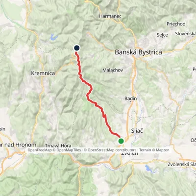 HardTwo-dayMarkedKováčová, spa Sedlo TunelElevation profile302–1 265 m23 kmascent 1 209 m≈ 8 h walkingunder 1 km from Velestúr
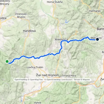 HardMulti-dayMarkedMalachov Tri ChotáreElevation profile363–1 202 m43.7 kmascent 1 164 m≈ 13.5 h walkingunder 1 km from Velestúr
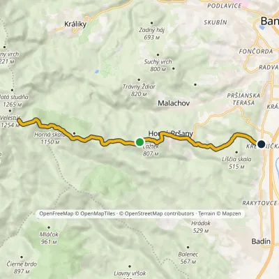 ModerateOne-dayMarkedKremnička Three CrossesElevation profile341–1 220 m10.6 kmascent 534 m≈ 3.5 h walkingunder 1 km from Velestúr
Nearby attractions
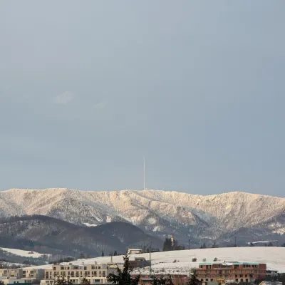 PeakSkalka (Kremnica Mountains)Kremnicaaltitude 1 232 m3.5 km from VelestúrSkalka (formerly Suchá hora) is a 1232 m peak on the main ridge of the Kremnica Mountains (Kremnické vrchy) in central Slovakia.
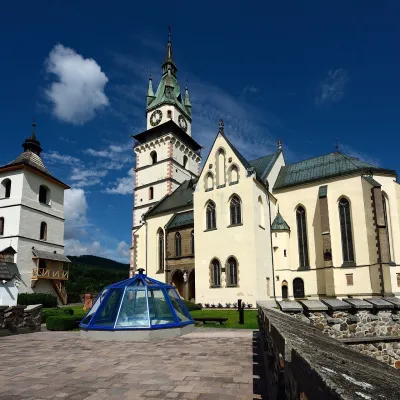 MuseumMuseum of Coins and Medals and Town Castle, KremnicaKremnica6.4 km from VelestúrThe National Bank of Slovakia's Museum of Coins and Medals (NBS – Múzeum mincí a medailí) is the country's main numismatic museum, in Kremnica, an old town of gold...
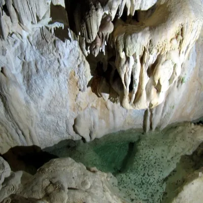 NatureHarmanecká CaveDolný Harmanec12 km from VelestúrThe “White Cave” above the Harmanec valley Harmanecká Cave (Harmanecká jaskyňa) lies in the valley of the Harmanec stream north-west of Banská Bystrica, in the...
Craft nearby
All craft places Craft producersKremnica gingerbread: the Haurík family bakery since 1922Kremnica6.4 km from VelestúrKremnica is an old mining town in the Kremnica Mountains where coins have been struck for more than six centuries.
 Craft beer & breweriesUrpiner brewery in Banská Bystrica: tour and beer from the tankBanská Bystrica9.2 km from VelestúrBanská Bystrica is the centre of Central Slovakia and grew rich on copper mining in the 14th–16th centuries.
 Craft shopsÚĽUV Banská Bystrica: folk-craft shop and craft schoolBanská Bystrica11 km from VelestúrÚĽUV (Ústredie ľudovej umeleckej výroby, the Centre for Folk Art Production) is a state institution that has looked after Slovak folk crafts since 1945: it keeps a...
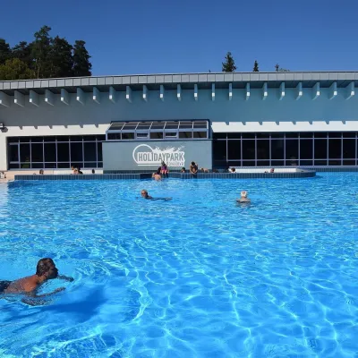 Water parks & thermal poolsKováčová: thermal spa and Holidaypark aquapark near ZvolenKováčová13 km from VelestúrKováčová is a spa village on the south-western edge of the Zvolen Basin, 4 km west of Zvolen at the foot of the Kremnica Mountains; the village centre lies at 303 m.
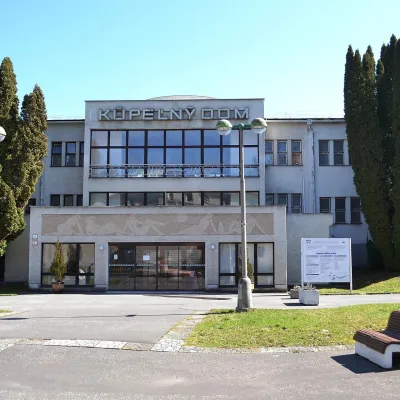 Water parks & thermal poolsSliač spa: warm carbonated water and a thermal swimming areaSliač16 km from VelestúrSliač is a spa in the Zvolen Basin above the Hron valley, between Zvolen and Banská Bystrica. The spa quarter with its 46-hectare park lies on a slope above the former...
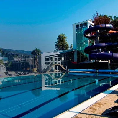 Water parks & thermal poolsSpa & Aquapark Turčianske TepliceTurčianske Teplice20 km from VelestúrTurčianske Teplice is one of Slovakia’s oldest spa towns. Its warm springs were first mentioned in 1281 in a deed of gift by King Ladislaus IV, and from 1533 they...
