Skalka (Kremnica Mountains)
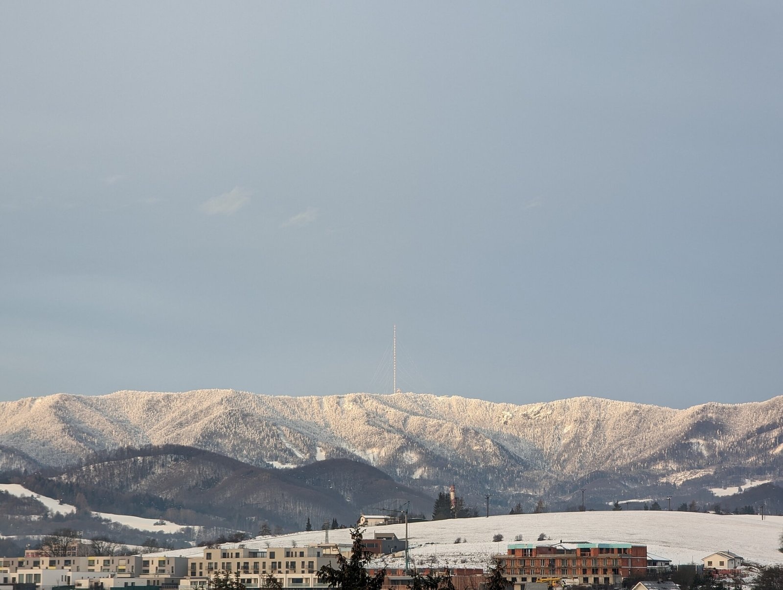
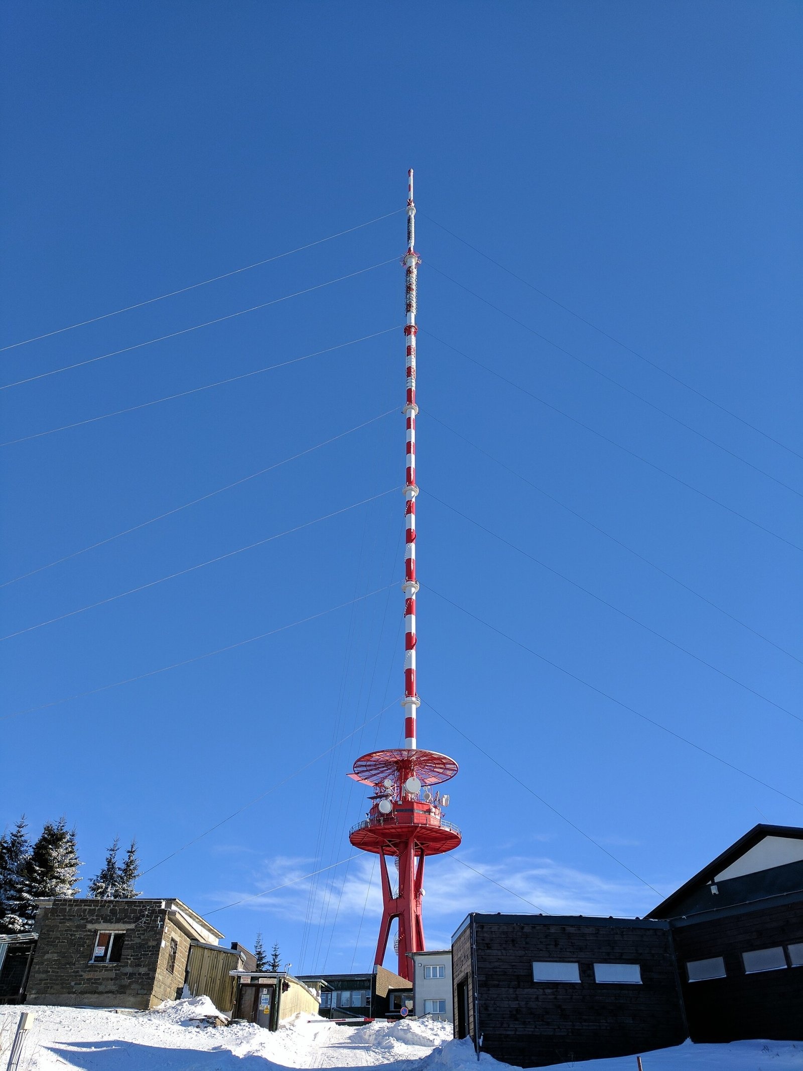
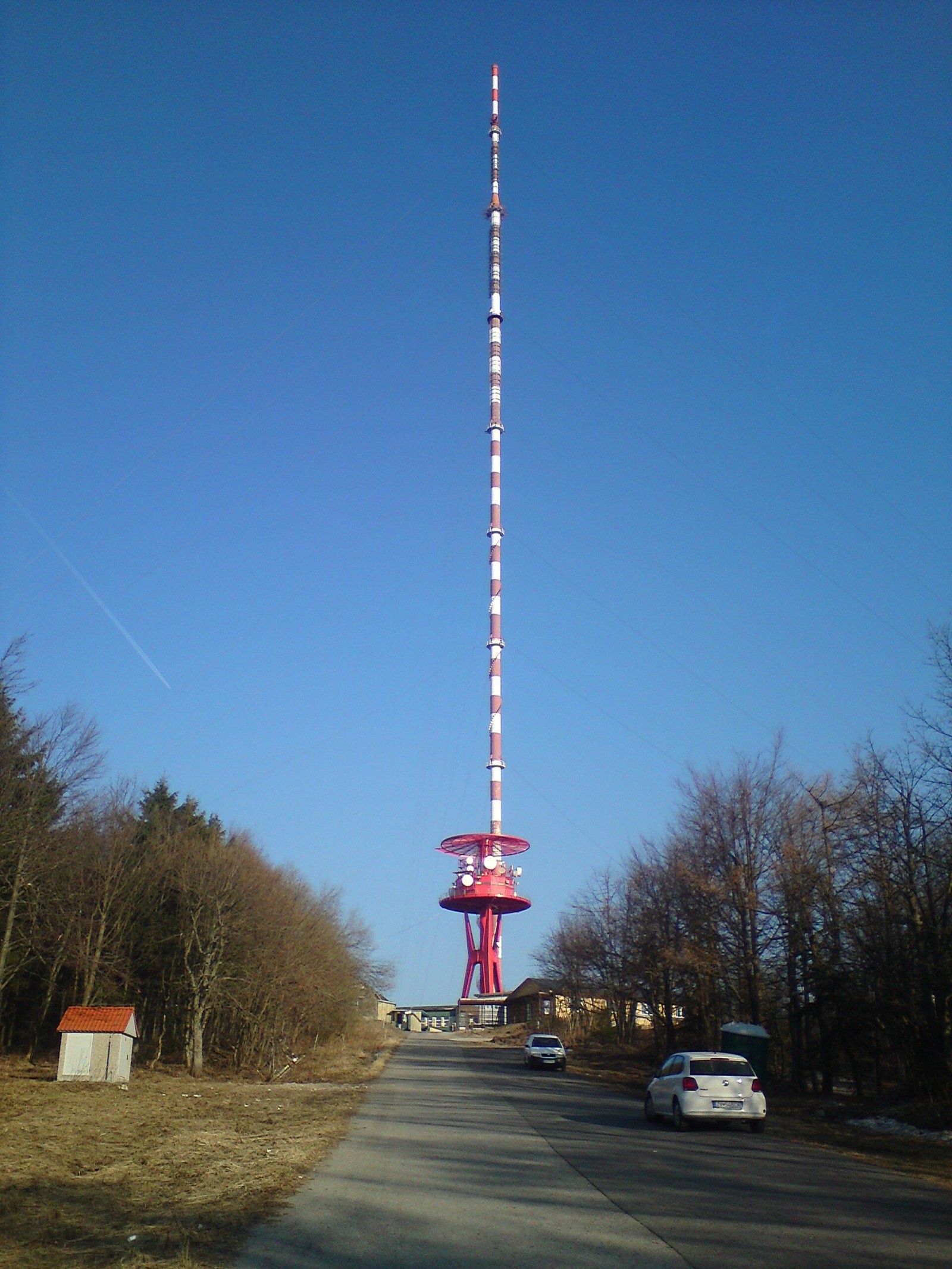
Skalka (formerly Suchá hora) is a 1232 m peak on the main ridge of the Kremnica Mountains (Kremnické vrchy) in central Slovakia. It rises above the village of Králiky, about 8 km west of Banská Bystrica. The mountain is recognisable from afar thanks to the mast of the Suchá hora transmitter, about 300 m tall, which stands right next to the summit. Skalka belongs to the Banská Bystrica Region and lies on the border of the Žiar nad Hronom and Banská Bystrica Districts: the eastern part of the ridge is in the cadastre of Banská Bystrica, the western part belongs to the town of Kremnica. The nearest villages are Králiky (3 km), Kordíky and Krahule (4 km each) and Tajov.
Skalka lies in the southern part of the Flochovský chrbát, on the main ridge of the Kremnica Mountains, which is the watershed between the Hron and Turiec basins; exactly at Skalka the watershed, coming from the north, turns west. The ridge runs from Zlatá studňa (1265 m) in the south via Mýtny vrch (1221 m) and from Skalka via Kremnická skala north to Vyhnatová (1283 m) and Svrčinník (1313 m). The shallow Bystrické sedlo saddle (1190 m) bounds the massif to the south and the slightly deeper Tunel saddle to the north. The eastern slopes are steep, deeply cut and fully forested; the western ones are gentle and broad, and their meadows and old clearings hold the Skalka sports and recreation complex.
How to get there / routes
- The red ridge trail of the Kremnica Mountains crosses the summit: from the south from Zlatá studňa via Mýtny vrch, from the north from Svrčinník via Vyhnatová and the Tunel saddle. From Skalka to the Tunel saddle takes about 25 min (30 min back), to Bystrické sedlo 15 min.
- The Path of the Heroes of the Slovak National Uprising (Cesta hrdinov SNP, red) comes from Krahule through the Skalka resort to the Tunel saddle, where it joins the ridge trail.
- Marked trails also lead from Banská Bystrica via Králiky, from Kremnica, and to the Tunel saddle from Tajov via the Tichá junction and from Turček.
- Road II/578 from Kremnica leads to the resort below the summit, which makes reaching the ridge much easier.
What you can see from the top
The highest part of Skalka lies inside the closed transmitter area, and the wooded ridge has few viewpoints. The treeless sections, however, offer an excellent view: many Kremnica Mountains peaks, the Zvolen basin, Javorie, Poľana, the Low Tatras and the south-eastern Greater Fatra, and to the west parts of the Lúčanská Fatra, the Strážov Mountains and Vtáčnik.
Nature and history
The massif is built of young Tertiary volcanic rocks – andesites, with tuffs and conglomerates formed from their pyroclastic material. Rock walls, pillars and steps appear near the summit. Erosion and gravitational movements have created crevices and small caves up to 8 m deep and 16 m long, known as Jánošíkove diery (Jánošík's Holes). The eastern slopes feed the headwaters of the Tajovský potok to the Hron, and the north-western ones the Turček stream to the Turiec.
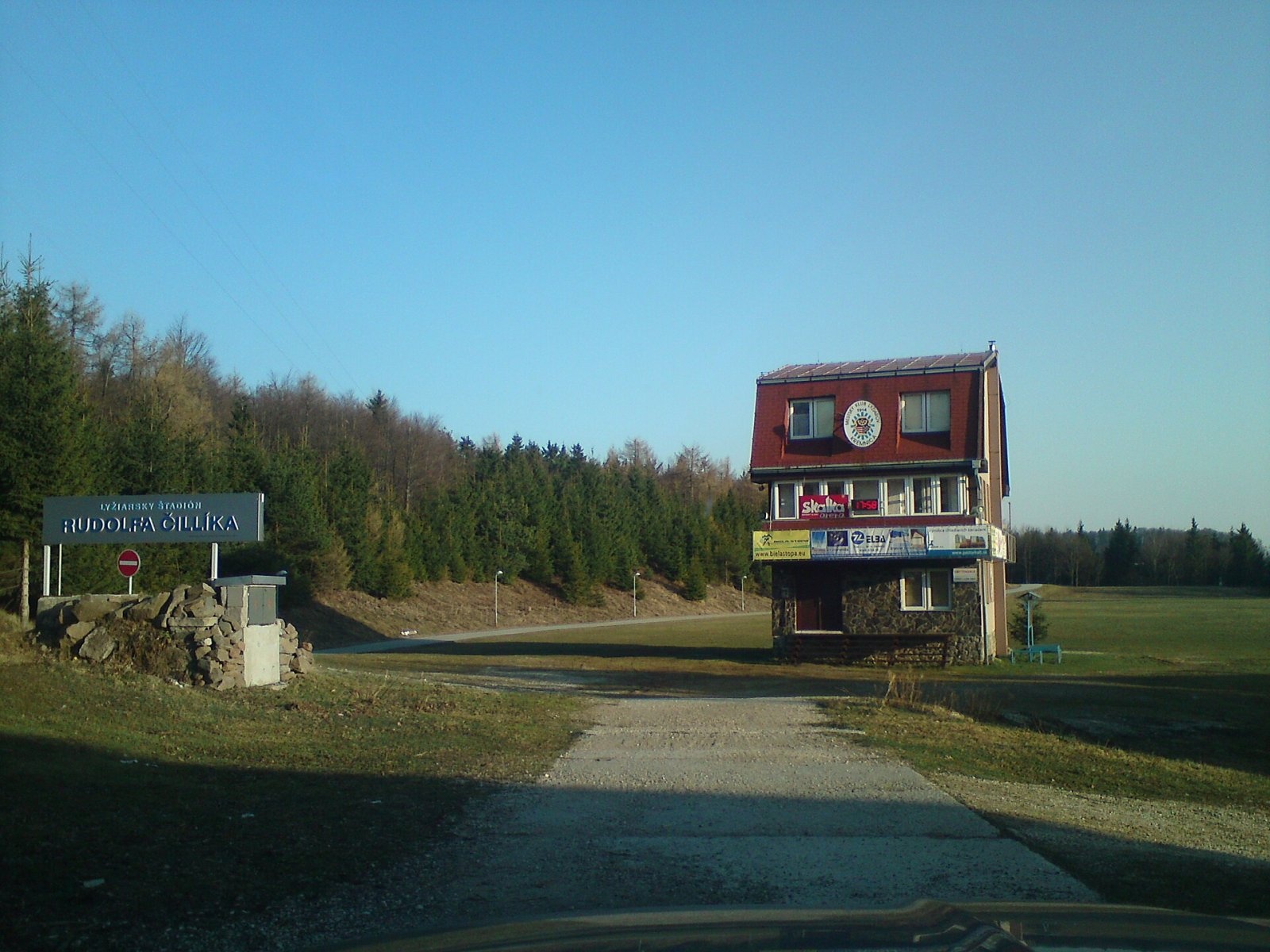
Below the summit on the western slopes, towards Kremnica, lies the Skalka complex with several older mountain hotels, a new sports hotel with an indoor pool and a winter stadium. In winter it is one of the largest cross-country skiing centres in Slovakia, with an extensive network of trails; in summer visitors come for the via ferrata and a rope bridge.
Safety, season and rules
Do not enter the fenced transmitter area. The ridge is wooded, but on the open meadows the wind can be strong, and in winter the trees are covered with rime and snowdrifts. In winter do not walk on the cross-country or downhill ski runs. Slovak Mountain Rescue Service (HZS): 18 300 (+421 18 300); general emergency number 112.
Interesting facts
- The mountain's former name, Suchá hora, lives on in the name of the transmitter.
- The Suchá hora mast, about 300 m tall, is a landmark visible from more than 11 km away.
- At Skalka the main Hron–Turiec watershed turns sharply from north to west.
Photos: Jaro Nemčok, CC BY-SA 4.0; Pe3kZA, CC BY-SA 3.0; Jaro Nemčok, CC BY-SA 4.0; Pe3kZA, CC BY-SA 3.0 — Wikimedia Commons.
Getting there from Ukraine
Border crossings
- Uzhhorod – Vyšné Nemecké — road, 24/7
- Malyi Bereznyi – Ubľa — road, 24/7 For cars and buses; pedestrians not confirmed by the Ukrainian border service, lorries up to 3.5 t.
- Mali Selmentsi – Veľké Slemence (pedestrian) — pedestrian, 09:00–21:00 Kyiv time Pedestrians and cyclists only; inconvenient for the Tatras without onward transport.
- Chop – Čierna nad Tisou (rail) — rail, 24/7
By car
From Uzhhorod ≈275 km, ≈3 h 35 min without queues: Uzhhorod – Vyšné Nemecké → I/19 to Košice → D1 motorway via Prešov, Poprad and Liptovský Mikuláš to Ružomberok (≈270 km, ≈3 h 25 min from the border). From Lviv it is faster through Poland: M-10 → Krakovets – Korczowa → A4 to Kraków → S7/DK7 to the Chyżne – Trstená border → R3 and I/59 via Dolný Kubín to Ružomberok: ≈482 km, ≈6 h 15 min (via Uzhok and Ubľa ≈500 km, ≈7 h 30 min). The D1 requires an e-vignette (eznamka.sk).
Checked 23.10.2026; border crossing hours and timetables change — check before you travel.
Location on the map
Water and shelter nearby
- Spring below Lopúchový vrch1.6 km · Not verified · 1 084 m
- Dobrá jama Tap1.9 km · Not verified · 1 023 m
- Mária Cabin2.1 km · Not verified · 796 m
Comments
Trails nearby
All trails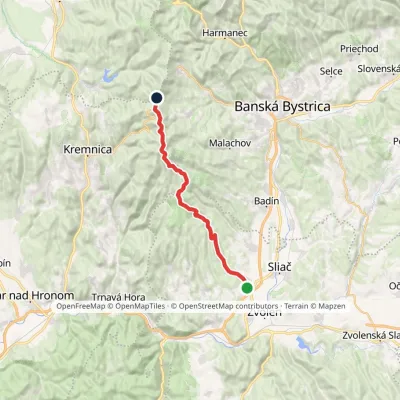 HardTwo-dayMarkedKováčová, spa Sedlo TunelElevation profile302–1 265 m23 kmascent 1 209 m≈ 8 h walkingunder 1 km from Skalka (Kremnica Mountains)
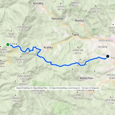 ModerateOne-dayMarkedChodník Kamila LinhartaElevation profile414–1 214 m12.8 kmascent 167 m≈ 3.5 h walkingunder 1 km from Skalka (Kremnica Mountains)
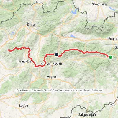 HardMulti-dayMarkedHorná Poruba, U Brdárov Pred ČuntavouElevation profile309–2 004 m241.6 kmascent 15 694 munder 1 km from Skalka (Kremnica Mountains)
Nearby attractions
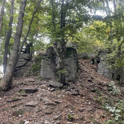 PeakVelestúrKremnicaaltitude 1 254 m3.5 km from Skalka (Kremnica Mountains)Velestúr is a 1254 m summit on the main ridge of the Kremnica Mountains (Kremnické vrchy) in Slovakia.
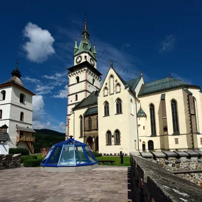 MuseumMuseum of Coins and Medals and Town Castle, KremnicaKremnica7 km from Skalka (Kremnica Mountains)The National Bank of Slovakia's Museum of Coins and Medals (NBS – Múzeum mincí a medailí) is the country's main numismatic museum, in Kremnica, an old town of gold...
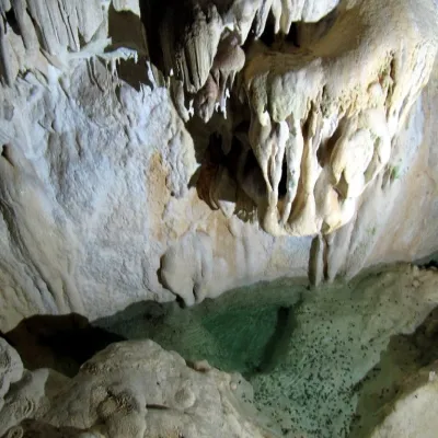 NatureHarmanecká CaveDolný Harmanec8.9 km from Skalka (Kremnica Mountains)The “White Cave” above the Harmanec valley Harmanecká Cave (Harmanecká jaskyňa) lies in the valley of the Harmanec stream north-west of Banská Bystrica, in the...
Craft nearby
All craft places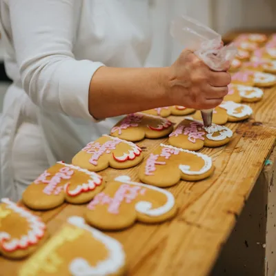 Craft producersKremnica gingerbread: the Haurík family bakery since 1922Kremnica7.1 km from Skalka (Kremnica Mountains)Kremnica is an old mining town in the Kremnica Mountains where coins have been struck for more than six centuries.
 Craft beer & breweriesUrpiner brewery in Banská Bystrica: tour and beer from the tankBanská Bystrica11 km from Skalka (Kremnica Mountains)Banská Bystrica is the centre of Central Slovakia and grew rich on copper mining in the 14th–16th centuries.
 Craft shopsÚĽUV Banská Bystrica: folk-craft shop and craft schoolBanská Bystrica11 km from Skalka (Kremnica Mountains)ÚĽUV (Ústredie ľudovej umeleckej výroby, the Centre for Folk Art Production) is a state institution that has looked after Slovak folk crafts since 1945: it keeps a...
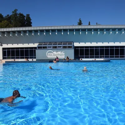 Water parks & thermal poolsKováčová: thermal spa and Holidaypark aquapark near ZvolenKováčová17 km from Skalka (Kremnica Mountains)Kováčová is a spa village on the south-western edge of the Zvolen Basin, 4 km west of Zvolen at the foot of the Kremnica Mountains; the village centre lies at 303 m.
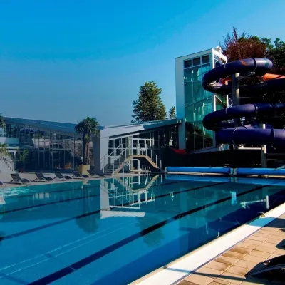 Water parks & thermal poolsSpa & Aquapark Turčianske TepliceTurčianske Teplice17 km from Skalka (Kremnica Mountains)Turčianske Teplice is one of Slovakia’s oldest spa towns. Its warm springs were first mentioned in 1281 in a deed of gift by King Ladislaus IV, and from 1533 they...
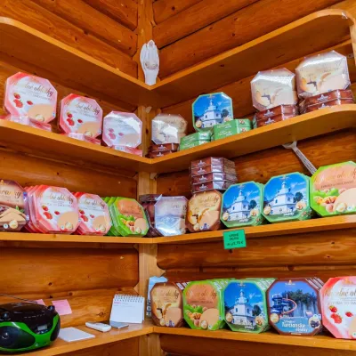 Cheese dairies & pasturesTuriec bryndza dairy, Turčianske Teplice: bryndza since 1917Turčianske Teplice17 km from Skalka (Kremnica Mountains)More than a hundred years of Turiec bryndza Turiec is a wide basin between the ridges of the Veľká and Malá Fatra, a land of pastures and old sheep farming.
