Krahule
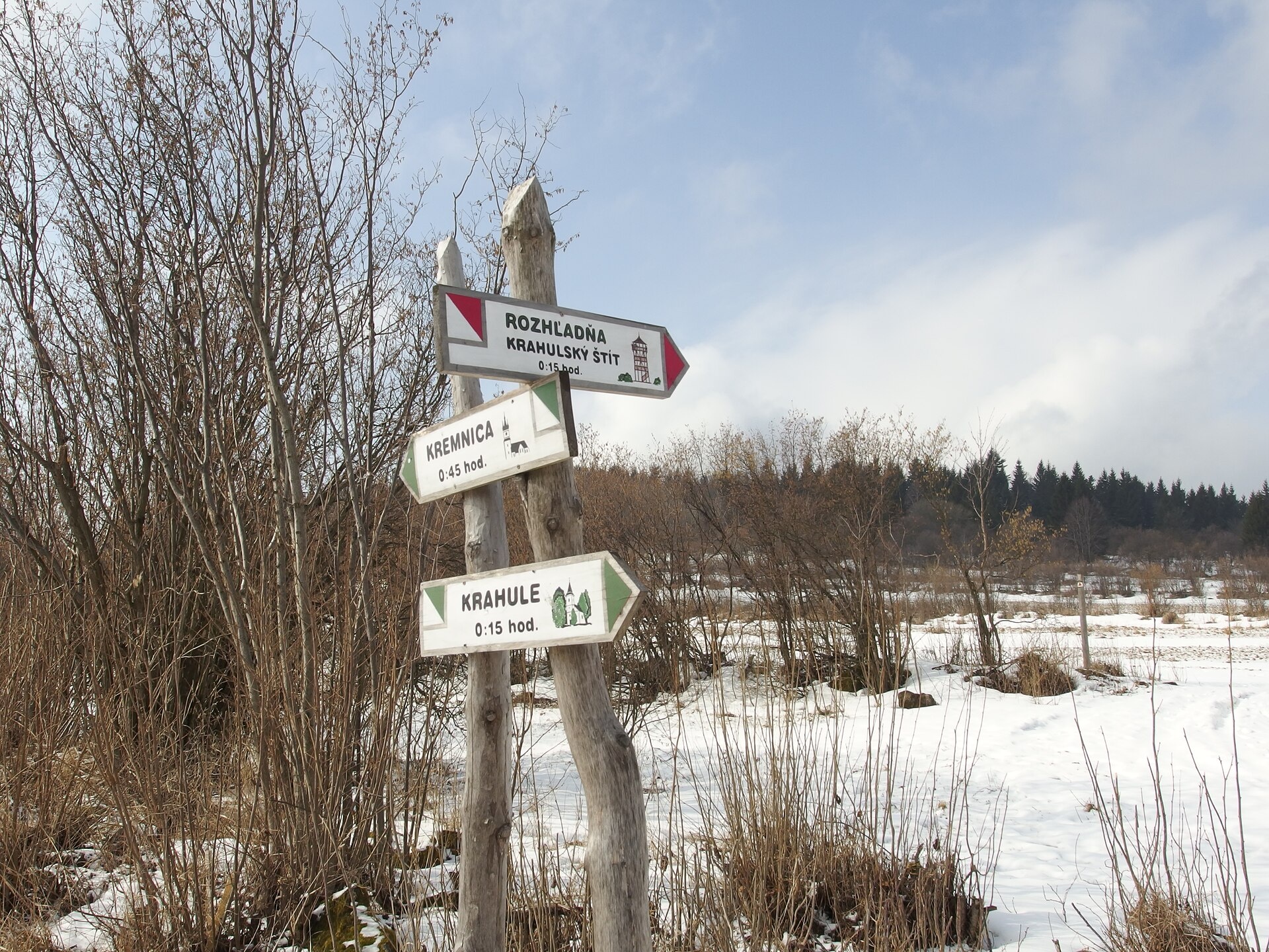
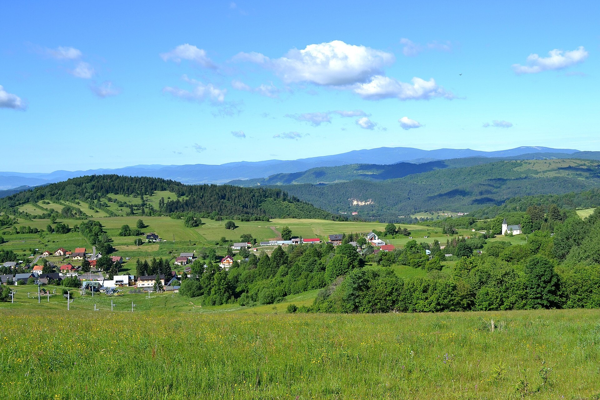
Photos: Michal Jakubský, CC BY 3.0 (Wikimedia Commons); Ľuboš Repta, CC BY-SA 4.0 (Wikimedia Commons)
Krahule is a village in Slovakia.
Elevation: about 872 m above sea level. Population: 252 (2025). Mountains nearby: Slovak Central Mountains.
Here and nearby on the site: 3 trails.
Facts: Wikidata, OpenStreetMap. More on Wikipedia
What's nearby
Trails nearby
All trails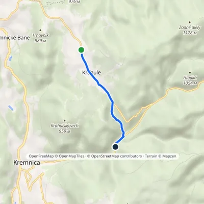 EasyOne-dayMarkedKrahule ToliarElevation profile662–923 m3 km≈ 45 min walkingunder 1 km from the centre
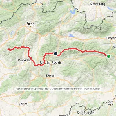 HardMulti-dayMarkedHorná Poruba, U Brdárov Pred ČuntavouElevation profile309–2 004 m241.6 kmascent 15 694 munder 1 km from the centre
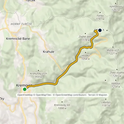 ModerateOne-dayMarkedKremnica Skalka, recreational centerElevation profile546–1 188 m8.2 kmascent 641 m≈ 3.5 h walking1.7 km from the centre
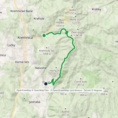 ModerateOne-dayMarkedToliar Recreation Centre IhráčElevation profile491–1 170 m14.6 kmascent 537 m≈ 4.5 h walking1.8 km from the centre
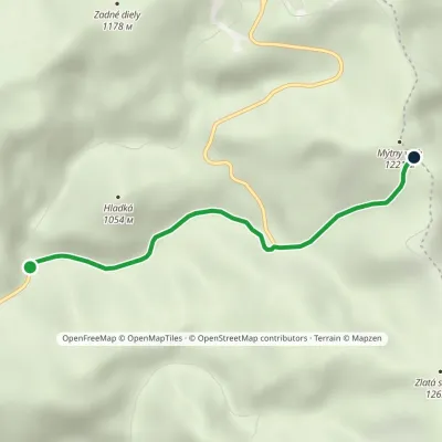 EasyOne-dayMarkedObrázok Králicke SaddleElevation profile791–1 193 m3.2 kmascent 401 m≈ 1.5 h walking2 km from the centre
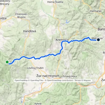 HardMulti-dayMarkedMalachov Tri ChotáreElevation profile363–1 202 m43.7 kmascent 1 164 m≈ 13.5 h walking2.2 km from the centre
Peaks nearby
All peaks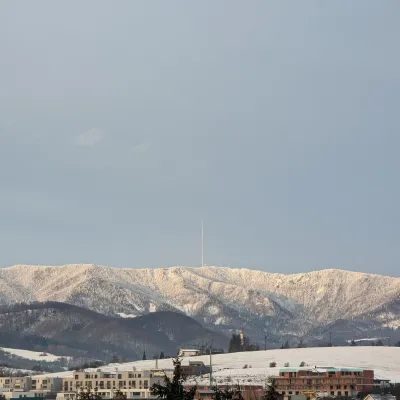 PeakSkalka (Kremnica Mountains)Kremnicaaltitude 1 232 m4.3 km from the centreSkalka (formerly Suchá hora) is a 1232 m peak on the main ridge of the Kremnica Mountains (Kremnické vrchy) in central Slovakia.
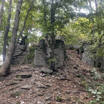 PeakVelestúrKremnicaaltitude 1 254 m5 km from the centreVelestúr is a 1254 m summit on the main ridge of the Kremnica Mountains (Kremnické vrchy) in Slovakia.
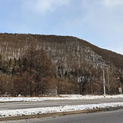 PeakUrpínBanská Bystricaaltitude 510 m15 km from the centreUrpín is a low but very prominent 510 m hill in central Slovakia, rising directly above the historic centre of Banská Bystrica on the left bank of the Hron river.
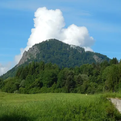 PeakVeľký GričHandlováaltitude 971 m17 km from the centreVeľký Grič (German Donnerstein) is a striking, partly rocky mountain 971 m high in the volcanic Vtáčnik range in central Slovakia.
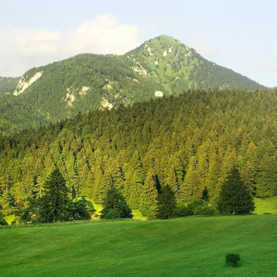 PeakDrienokBlatnicaaltitude 1 268 m18 km from the centreDrienok (formerly Drieňok) is a 1268 m limestone and dolomite summit in the south-western part of the Slovak Veľká Fatra.
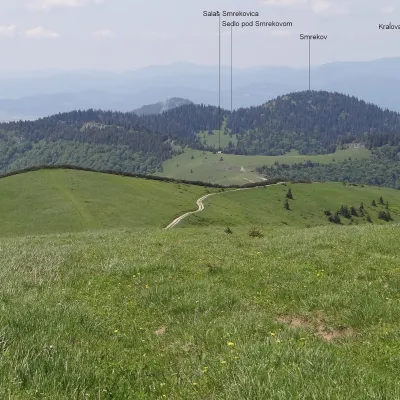 PeakSmrekovTureckáaltitude 1 441 m19 km from the centreSmrekov is a 1441 m summit in the southern part of the Greater Fatra (Veľká Fatra) in Slovakia. It belongs to the Bralná Fatra, the part of the range where many...
What to visit
All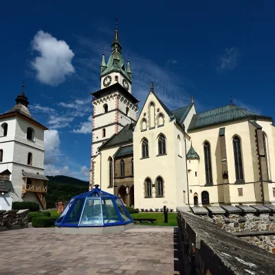 MuseumMuseum of Coins and Medals and Town Castle, KremnicaKremnica2.9 km from the centreThe National Bank of Slovakia's Museum of Coins and Medals (NBS – Múzeum mincí a medailí) is the country's main numismatic museum, in Kremnica, an old town of gold...
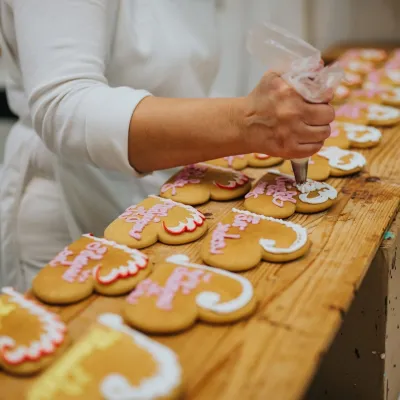 Craft producersKremnica gingerbread: the Haurík family bakery since 1922Kremnica3 km from the centreKremnica is an old mining town in the Kremnica Mountains where coins have been struck for more than six centuries.
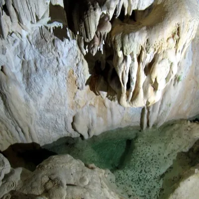 NatureHarmanecká CaveDolný Harmanec12 km from the centreThe “White Cave” above the Harmanec valley Harmanecká Cave (Harmanecká jaskyňa) lies in the valley of the Harmanec stream north-west of Banská Bystrica, in the...
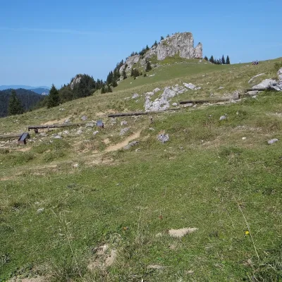 Mountain meadowKráľova studňa: meadow plateau and springs in Veľká FatraDolný Harmanecaltitude 1 365 m19 km from the centreKráľova studňa (literally the «King's Well») is a broad grassy plateau on the main ridge of Veľká Fatra, at the western edge of the Krížna massif.
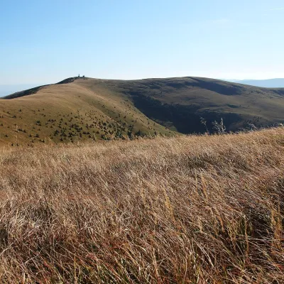 Mountain meadowKrížna and the hole meadows of Veľká FatraTureckáaltitude 1 574 m20 km from the centreKrížna (1,574 m) is a broad grassy massif in the central part of Veľká Fatra in Slovakia, the third-highest summit of these mountains after Ostredok and Frčkov.
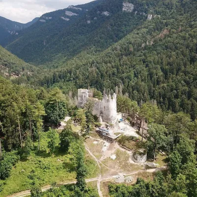 CastleBlatnica Castle and the Gader ValleyBlatnica25 km from the centreBlatnica Castle (Blatnický hrad) is a medieval ruin on the low but sharp limestone ridge of Plešovica (658 m), which separates the Gader valley (Gaderská dolina) from...
Craft nearby
All craft places Craft beer & breweriesUrpiner brewery in Banská Bystrica: tour and beer from the tankBanská Bystrica14 km from the centreBanská Bystrica is the centre of Central Slovakia and grew rich on copper mining in the 14th–16th centuries.
 Craft shopsÚĽUV Banská Bystrica: folk-craft shop and craft schoolBanská Bystrica15 km from the centreÚĽUV (Ústredie ľudovej umeleckej výroby, the Centre for Folk Art Production) is a state institution that has looked after Slovak folk crafts since 1945: it keeps a...
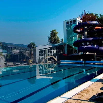 Water parks & thermal poolsSpa & Aquapark Turčianske TepliceTurčianske Teplice16 km from the centreTurčianske Teplice is one of Slovakia’s oldest spa towns. Its warm springs were first mentioned in 1281 in a deed of gift by King Ladislaus IV, and from 1533 they...
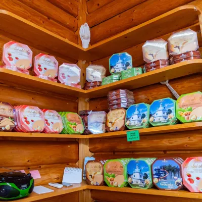 Cheese dairies & pasturesTuriec bryndza dairy, Turčianske Teplice: bryndza since 1917Turčianske Teplice17 km from the centreMore than a hundred years of Turiec bryndza Turiec is a wide basin between the ridges of the Veľká and Malá Fatra, a land of pastures and old sheep farming.
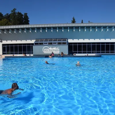 Water parks & thermal poolsKováčová: thermal spa and Holidaypark aquapark near ZvolenKováčová18 km from the centreKováčová is a spa village on the south-western edge of the Zvolen Basin, 4 km west of Zvolen at the foot of the Kremnica Mountains; the village centre lies at 303 m.
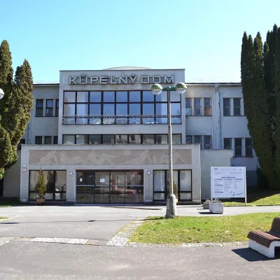 Water parks & thermal poolsSliač spa: warm carbonated water and a thermal swimming areaSliač21 km from the centreSliač is a spa in the Zvolen Basin above the Hron valley, between Zvolen and Banská Bystrica. The spa quarter with its 46-hectare park lies on a slope above the former...
Spas and thermal pools nearby
Water parks & thermal poolsSpa & Aquapark Turčianske TepliceTurčianske Teplice16 km from the centreTurčianske Teplice is one of Slovakia’s oldest spa towns. Its warm springs were first mentioned in 1281 in a deed of gift by King Ladislaus IV, and from 1533 they...Water parks & thermal poolsKováčová: thermal spa and Holidaypark aquapark near ZvolenKováčová18 km from the centreKováčová is a spa village on the south-western edge of the Zvolen Basin, 4 km west of Zvolen at the foot of the Kremnica Mountains; the village centre lies at 303 m.Water parks & thermal poolsSliač spa: warm carbonated water and a thermal swimming areaSliač21 km from the centreSliač is a spa in the Zvolen Basin above the Hron valley, between Zvolen and Banská Bystrica. The spa quarter with its 46-hectare park lies on a slope above the former...Huts, shelters and springs nearby
Getting there from Ukraine
Border crossings
- Uzhhorod – Vyšné Nemecké — road, 24/7
- Malyi Bereznyi – Ubľa — road, 24/7 For cars and buses; pedestrians not confirmed by the Ukrainian border service, lorries up to 3.5 t.
- Mali Selmentsi – Veľké Slemence (pedestrian) — pedestrian, 09:00–21:00 Kyiv time Pedestrians and cyclists only; inconvenient for the Tatras without onward transport.
- Chop – Čierna nad Tisou (rail) — rail, 24/7
By car
From Uzhhorod ≈275 km, ≈3 h 35 min without queues: Uzhhorod – Vyšné Nemecké → I/19 to Košice → D1 motorway via Prešov, Poprad and Liptovský Mikuláš to Ružomberok (≈270 km, ≈3 h 25 min from the border). From Lviv it is faster through Poland: M-10 → Krakovets – Korczowa → A4 to Kraków → S7/DK7 to the Chyżne – Trstená border → R3 and I/59 via Dolný Kubín to Ružomberok: ≈482 km, ≈6 h 15 min (via Uzhok and Ubľa ≈500 km, ≈7 h 30 min). The D1 requires an e-vignette (eznamka.sk).
Checked 23.10.2026; border crossing hours and timetables change — check before you travel.
