Drnava
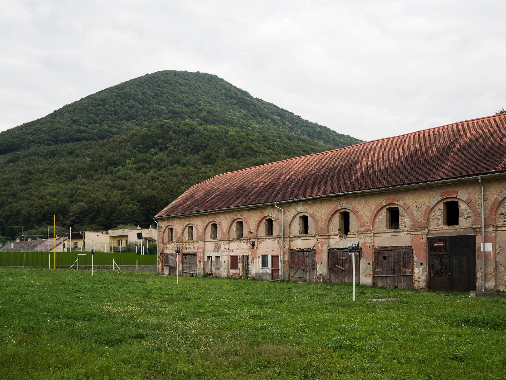
Photos: David Raška, CC BY-SA 4.0 (Wikimedia Commons)
Drnava is a village in Slovakia.
Elevation: about 376 m above sea level. Population: 691 (2025). Mountains nearby: Slovak Ore Mountains.
Here and nearby on the site: 1 trail, 1 peak.
Facts: Wikidata, OpenStreetMap. More on Wikipedia
Trails nearby
All trails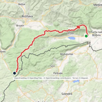 HardMulti-dayMarkedJaskyňa Domica Dvorníky-Zádiel, stopElevation profile212–811 m49 kmascent 1 109 m2.5 km from the centre
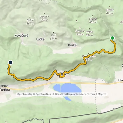 ModerateTwo-dayMarkedHrhov, state fishery Zádielska dolina, forester's lodgeElevation profile206–818 m16.8 kmascent 902 m≈ 6 h walking3.2 km from the centre
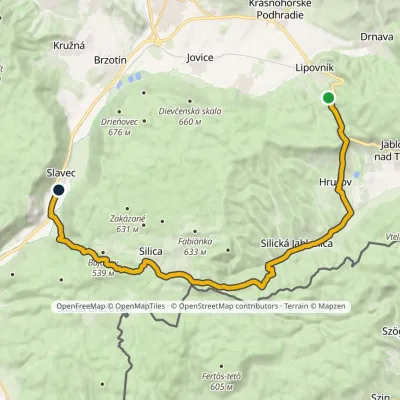 ModerateTwo-dayMarkedSlavec Jablonovské Saddlevia CaveElevation profile212–540 m25.3 kmascent 408 m≈ 7 h walking3.3 km from the centre
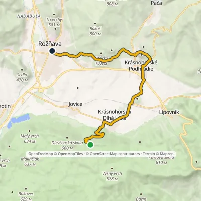 ModerateOne-dayMarkedRožňava Škridlový KošiarElevation profile298–586 m14.7 kmascent 302 m≈ 4.5 h walking4.1 km from the centre
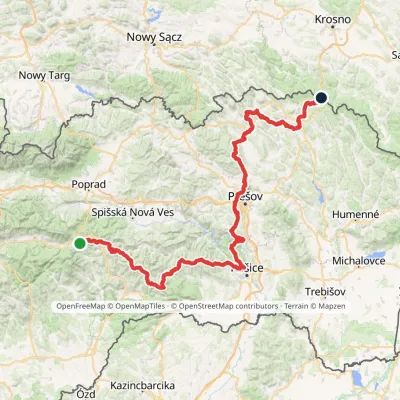 HardMulti-dayMarkedPred Čuntavou Dukliansky PassElevation profile227–1 293 m280.7 kmascent 8 346 m4.8 km from the centre
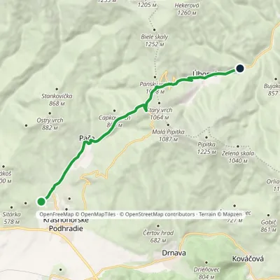 ModerateOne-dayMarkedJunction to Pača Úhorná ReservoirElevation profile392–1 002 m11.3 kmascent 605 m≈ 4 h walking5.4 km from the centre
Peaks nearby
All peaks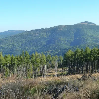 PeakPipitkaDrnavaaltitude 1 225 m4.9 km from the centrePipitka (Hungarian Pipityke) is a 1225 m summit in the Volovské vrchy, part of the Slovak Ore Mountains.
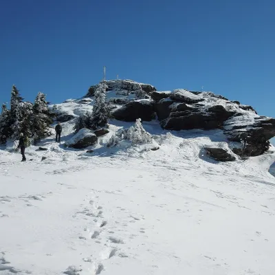 PeakSkaliskoBetliaraltitude 1 293 m13 km from the centreSkalisko (Hungarian Pozsálló; the massif is often called Volovec) is the second highest summit of the Volovské vrchy, part of the Slovak Ore Mountains, at 1,293 m.
What to visit
All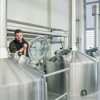 Craft beer & breweriesKaltenecker Brewery, Rožňava: Gemer craft beer from the sourceRožňava8.9 km from the centreThe modern Kaltenecker brewery was founded in 1997, and from the start it took a different path from the big breweries of the day: instead of one-size-fits-all beer, a...
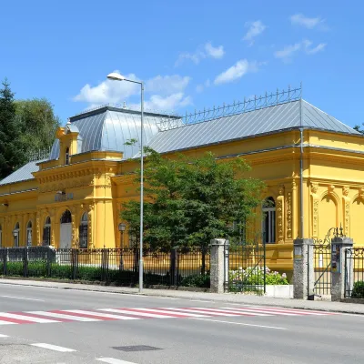 MuseumMining Museum in Rožňava and the Sentinel Experience CentreRožňava9.6 km from the centreThe Mining Museum in Rožňava (Banícke múzeum v Rožňave) is the main museum of Gemer, an old region of mines and smelters in the south of the Slovak Ore Mountains.
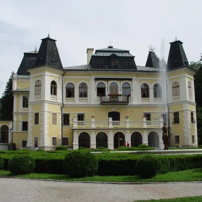 CastleBetliar Manor HouseBetliar13 km from the centreBetliar Manor (Kaštieľ Betliar) is the most visited country house in south-eastern Slovakia. It stands in the village of Betliar, 7 km north of the town of Rožňava on...
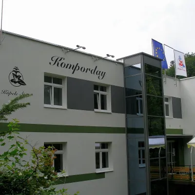 Water parks & thermal poolsŠtós spa: climatic cure, speleotherapy and poolŠtós13 km from the centreKúpele Štós is a climatic spa in south-eastern Slovakia, in the settlement of Štós-kúpele a few kilometres north of the mining village of Štós, where the Volovské...
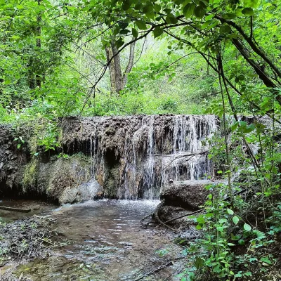 WaterfallHáj waterfalls in the Slovak KarstHáj14 km from the centreThe Háj waterfalls (Hájske vodopády, Hungarian Áji vízesések) are a cascade of travertine waterfalls in the Háj valley in the Slovak Karst National Park (Slovenský...
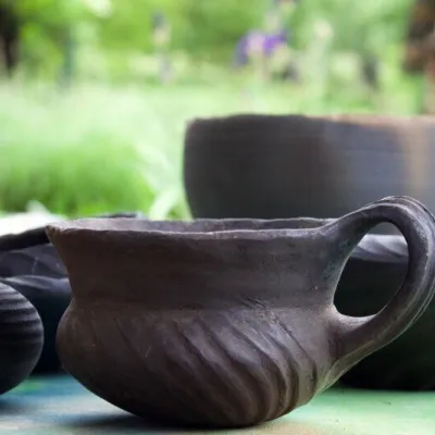 Crafts & workshopsHáj Pottery: wheel-thrown ceramics and wood-fired kilns in HájHáj14 km from the centreAt the back of an old farmhouse here is Háj Pottery (Hájske hrnčiarstvo), run by Amália Holíková. She throws utility ware on the wheel and models it by hand, but her...
Craft nearby
All craft places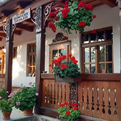
Spas and thermal pools nearby
Huts, shelters and springs nearby
Getting there from Ukraine
Border crossings
- Uzhhorod – Vyšné Nemecké — road, 24/7
- Malyi Bereznyi – Ubľa — road, 24/7 For cars and buses; pedestrians not confirmed by the Ukrainian border service, lorries up to 3.5 t.
- Mali Selmentsi – Veľké Slemence (pedestrian) — pedestrian, 09:00–21:00 Kyiv time Pedestrians and cyclists only; inconvenient for the Tatras without onward transport.
- Chop – Čierna nad Tisou (rail) — rail, 24/7
By car
From Uzhhorod ≈182 km, ≈2 h 45 min without queues: Uzhhorod – Vyšné Nemecké → I/19 via Sobrance and Michalovce to Košice → D1 motorway via Prešov to the exit near Levoča → road 533 to Spišská Nová Ves (≈177 km, ≈2 h 30 min from the border). From Lviv via Uzhok and Ubľa ≈407 km, ≈6 h 40 min; through Poland (Kraków – Nowy Targ) ≈496 km, ≈6 h 20 min. The D1 requires an e-vignette (eznamka.sk).
Checked 23.10.2026; border crossing hours and timetables change — check before you travel.
