Spišská Nová Ves
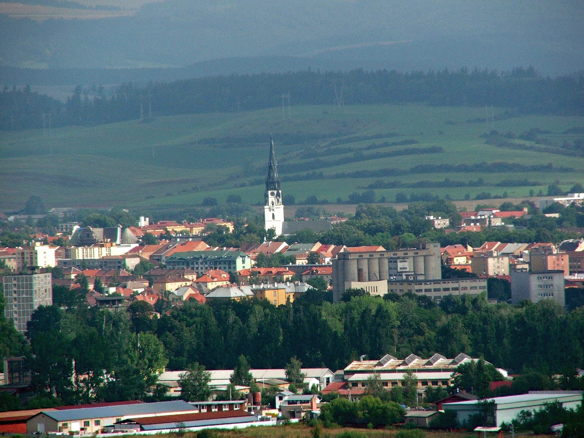
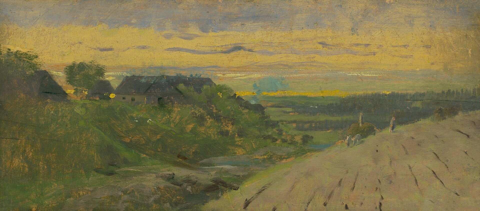
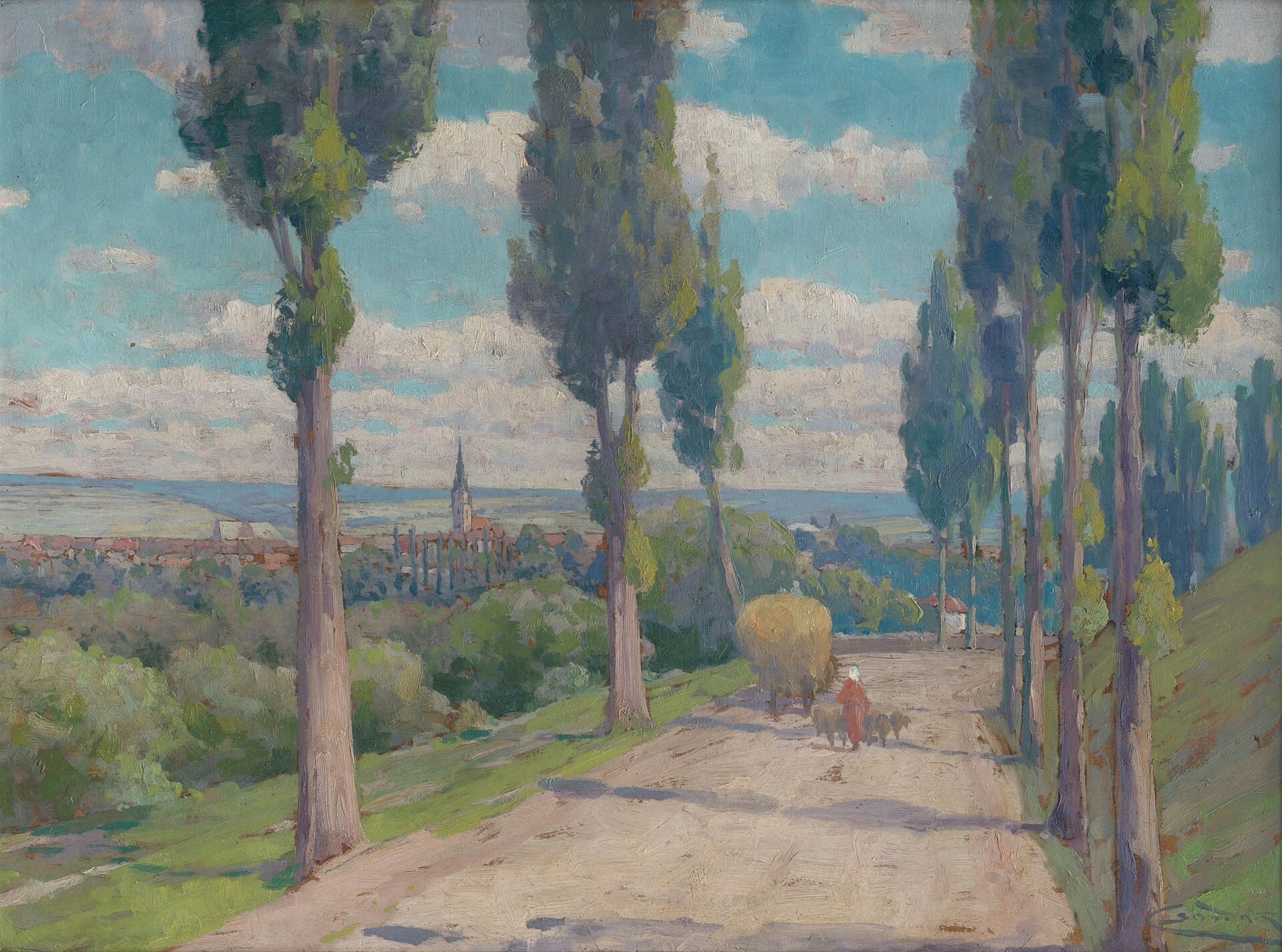
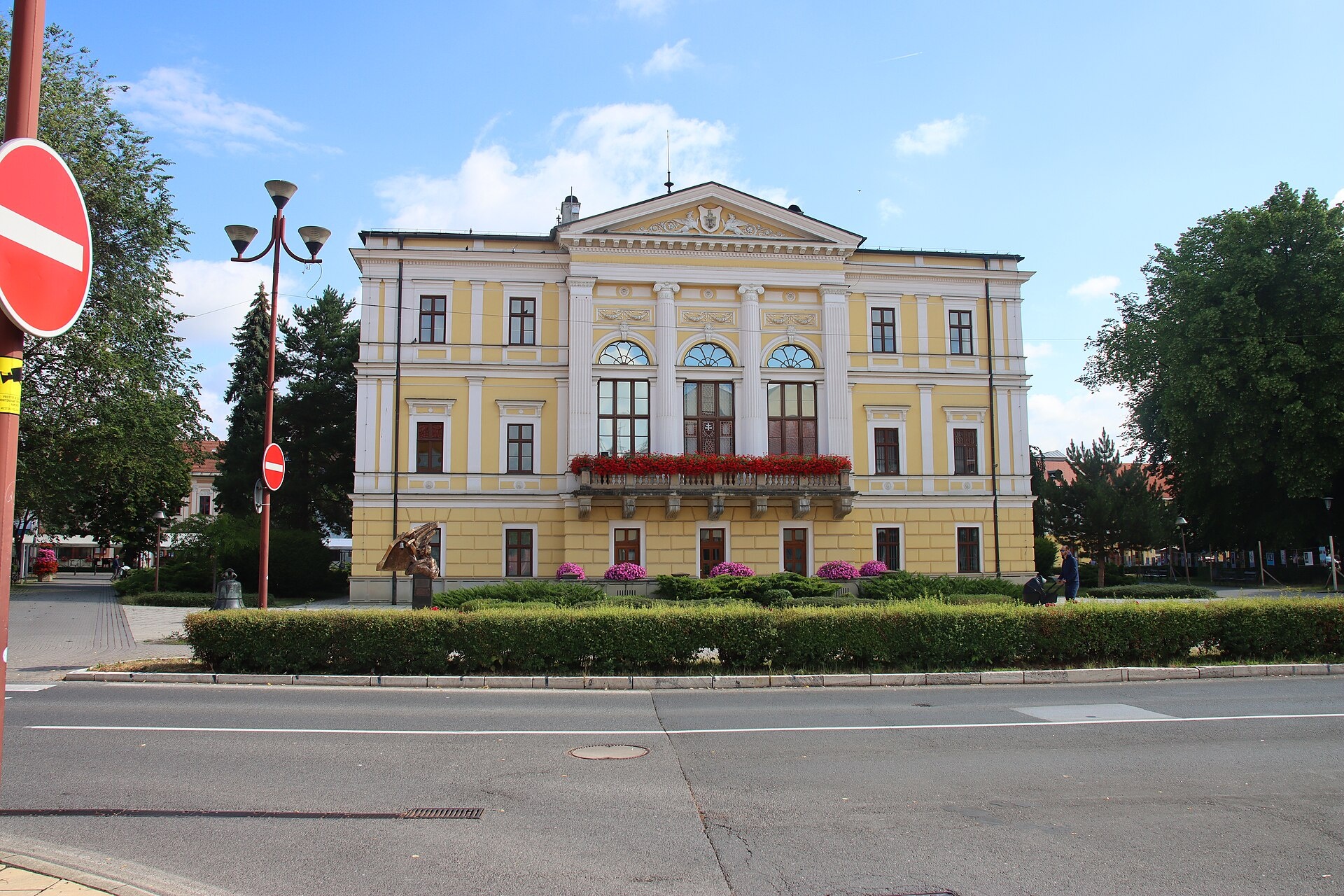
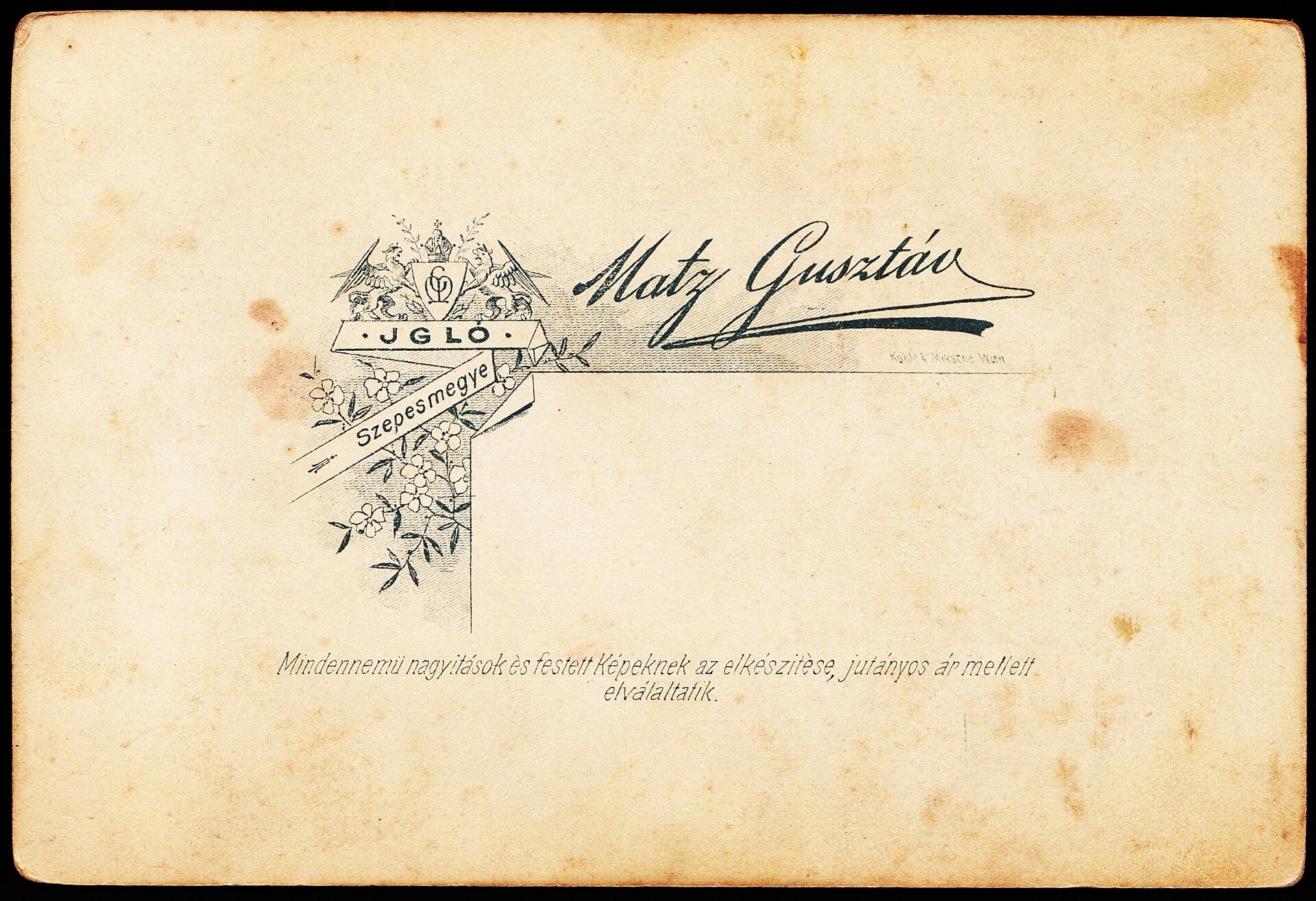
Photos: József Süveg, CC BY-SA 3.0 (Wikimedia Commons); Nándor Katona, Public domain (Wikimedia Commons); Lajos Csordák, Public domain (Wikimedia Commons); Draceane, CC BY-SA 4.0 (Wikimedia Commons); FOTO:Fortepan — ID 81274: Adományozó/Donor: Unknown., Public domain (Wikimedia Commons); FOTO:Fortepan — ID 85816: Adományozó/Donor: Schermann Ákos., Public domain (Wikimedia Commons)
Spišská Nová Ves is a town in eastern Slovakia, serving as the administrative center of the Spišská Nová Ves District in the Košice Region. Located on the Hornád River at an elevation of 506 meters, the town lies at the gateway to Slovak Paradise National Park and is surrounded by picturesque mountains. It is the largest town in the Spiš region and an important transport hub.
The first written mention of the town dates to 1268. In the 12th century, a Slavic settlement called Iglov existed here, and in the 13th century, German colonists founded Neudorf nearby. The two settlements later merged. By the 14th century, the town had become a significant center of trade and mining. From 1412 to 1772, it was under Polish administration.
The town is known for its compact historical center, with landmarks concentrated on the main Town Hall Square, considered the longest in Europe. The spire of the Church of the Assumption of the Virgin Mary dominates the skyline and is the tallest in Slovakia. Other notable sights include the Gothic Provincial House, the 18th-century Evangelical Church, a 19th-century classical hall, and the Neo-Renaissance Reduta. Spišská Nová Ves is a cultural and tourist center and a starting point for exploring Slovak Paradise.
Visitors can explore the Spiš Museum in the Provincial House, admire the Church of the Assumption of the Virgin Mary, and stroll through the historic square. Hiking enthusiasts can set off on trails such as Smižany – Kláštorisko, Chingov, center – Lesnica mouth, or discover the gorges of Slovak Paradise — Suchá Belá, Kyseľ, Kláštorská Gorge. Nature lovers will enjoy the Hutianske nature monument and the many waterfalls and canyons in the area.
Getting there from Ukraine
From Uzhhorod ≈182 km, ≈2 h 45 min without queues: Uzhhorod – Vyšné Nemecké → I/19 via Sobrance and Michalovce to Košice → D1 motorway via Prešov to the exit near Levoča → road 533 to Spišská Nová Ves (≈177 km, ≈2 h 30 min from the border). From Lviv via Uzhok and Ubľa ≈407 km, ≈6 h 40 min; through Poland (Kraków – Nowy Targ) ≈496 km, ≈6 h 20 min. The D1 requires an e-vignette (eznamka.sk).
Sources: Wikipedia, Wikidata, OpenStreetMap, Karpaty.rocks data. More on Wikipedia
What's nearby
Trails nearby
All trails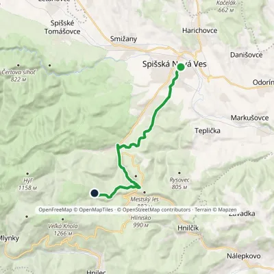 ModerateOne-dayMarkedSpišská Nová Ves, square Meadow below MuráňElevation profile448–1 013 m13.7 kmascent 654 m≈ 4.5 h walkingunder 1 km from the centre
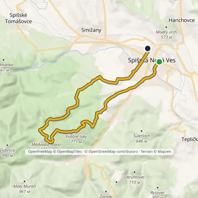 ModerateOne-dayMarkedSpišská Nová Ves, square Spišská Nová Ves, stationElevation profile448–905 m17.8 kmascent 485 m≈ 5.5 h walkingunder 1 km from the centre
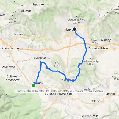 ModerateTwo-dayMarkedSmižany Levoča, near Košická GateElevation profile451–660 m19.6 kmascent 406 m≈ 5.5 h walking2.4 km from the centre
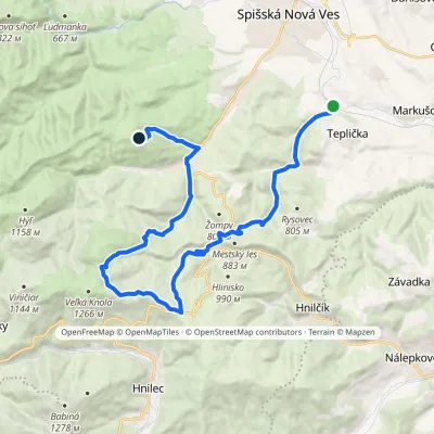 HardTwo-dayMarkedArnošt Guldan TrailElevation profile442–1 218 m24.2 kmascent 1 113 m≈ 8.5 h walking3.1 km from the centre
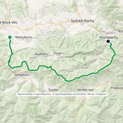 HardMulti-dayMarkedKrompachy, central orientation Teplička nad Hornádom, stopElevation profile377–1 127 m44.2 kmascent 1 365 m≈ 14 h walking3.1 km from the centre
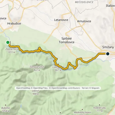 ModerateOne-dayMarkedSmižany, zastávka Hrdlo HornáduElevation profile483–667 m13.5 kmascent 422 m≈ 4 h walking3.2 km from the centre
Peaks nearby
All peaks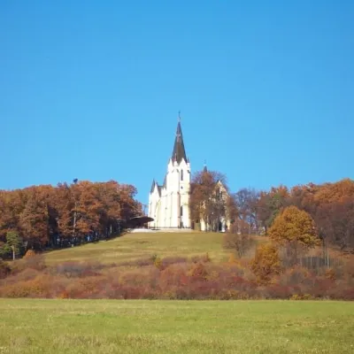 PeakMariánska hora (Marian Hill)Levočaaltitude 761 m11 km from the centreMariánska hora (Marian Hill; Hungarian Máriahegy) is a hill on the southern edge of the Levoča Hills, about 2 km north of the centre of the town of Levoča in eastern...
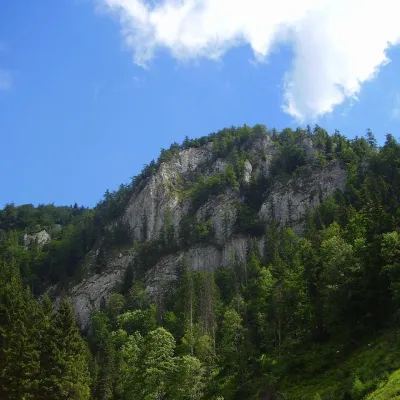 PeakHavrania skalaStratenáaltitude 1 156 m17 km from the centreHavrania skala (Raven Rock) is a 1,156 m summit, one of the highest in the Slovak Paradise. It stands in the southern part of the national park, about 3 km north of...
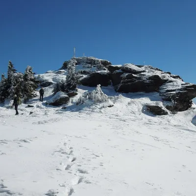 PeakSkaliskoBetliaraltitude 1 293 m22 km from the centreSkalisko (Hungarian Pozsálló; the massif is often called Volovec) is the second highest summit of the Volovské vrchy, part of the Slovak Ore Mountains, at 1,293 m.
What to visit
All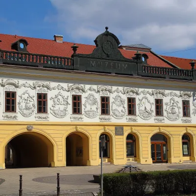 MuseumSpiš Museum in Spišská Nová Ves (Provincial House)Spišská Nová Vesunder 1 km from the centreThe Spiš Museum (Múzeum Spiša) in Spišská Nová Ves is one of the most comprehensive regional museums in eastern Slovakia.
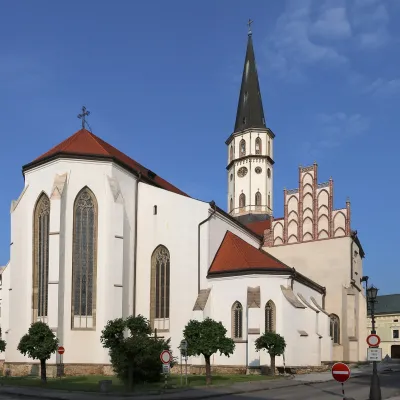 ChurchBasilica of St James, LevočaLevoča9.4 km from the centreThe Basilica of St James (Bazilika svätého Jakuba), together with the Renaissance town hall, dominates Master Paul Square in Levoča — a former free royal town and the...
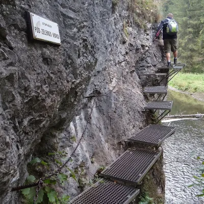 NatureHornád River Gorge (Prielom Hornádu)Hrabušice10 km from the centreThe Hornád Gorge (Prielom Hornádu) is, together with the Suchá Belá ravine and the Tomášovský výhľad viewpoint, the best-known place in Slovak Paradise National Park.
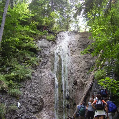 WaterfallKláštorská Gorge and its waterfallsLetanovce10 km from the centreKláštorská roklina (Kláštorská Gorge) is one of the shortest but most picturesque gorges of the Slovak Paradise National Park in the Spiš region.
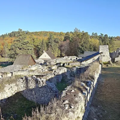 Historic siteKláštorisko – Carthusian Monastery RuinsLetanovce10 km from the centreKláštorisko is a broad plateau at 760 m on the ridge between Čertova sihoť and the Glac plateau, one of the main tourist hubs in the north of Slovak Paradise National...
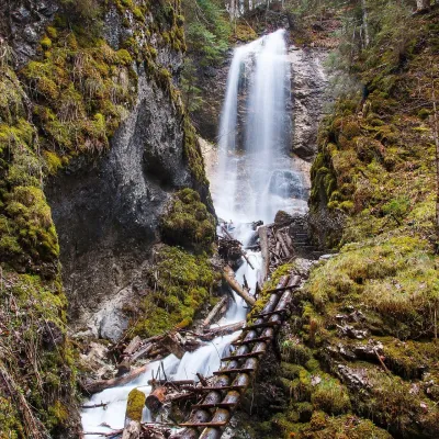 WaterfallZávojový waterfall in Sokolia dolinaLetanovce11 km from the centreThe Závojový waterfall (Závojový vodopád) is the highest waterfall in the Slovak Paradise National Park: 75 m according to Slovak and Polish Wikipedia, 78 m according...
Craft nearby
All craft places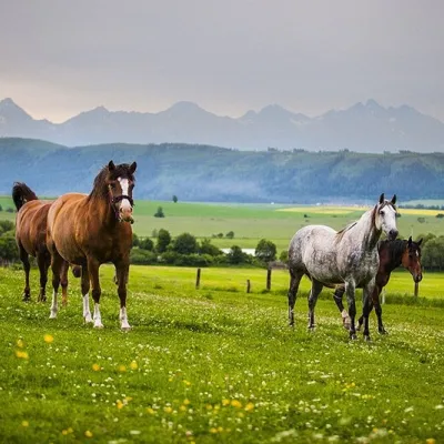 Horse ridingRanč u Trapera, Podlesok: Horse Rides in the Slovak ParadiseHrabušice14 km from the centreA little away from the main tourist bustle, below the forest, stands the family-run Ranč u Trapera, run by the Salaj family.
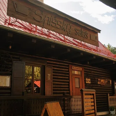 Koliby & Hutsul cuisineSpišský salaš below Spiš Castle: Spiš cooking since 1964Spišská Kapitula14 km from the centreBetween Spiš Castle and Spišská Kapitula, at the edge of the plain below the travertine mound of Sivá brada, stands the wooden Spišský salaš.
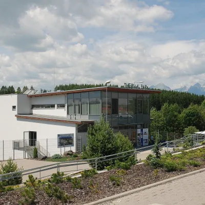 Water parks & thermal poolsThermal Park VrbovVrbov19 km from the centreThermal Park Vrbov is one of the best-known thermal baths in the Spiš region, on the southern edge of the village of Vrbov, about 6 km (as the crow flies) from...
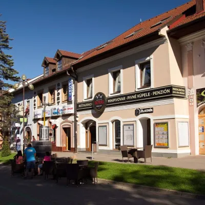 Craft beer & breweriesMinipivovar TATRAS, PopradPoprad23 km from the centreMinipivovar TATRAS is a brewpub on Poprad’s main square, Námestie sv. Egídia, housed in a building with a long brewing history.
 Water parks & thermal poolsAquaCity Poprad water parkPoprad23 km from the centreAquaCity Poprad is a large year-round water park and wellness complex in the town of Poprad, a few minutes from the centre; according to the complex, the High Tatras...
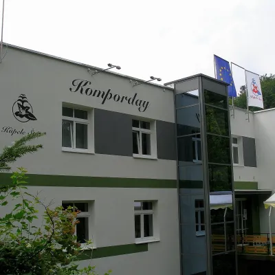 Water parks & thermal poolsŠtós spa: climatic cure, speleotherapy and poolŠtós30 km from the centreKúpele Štós is a climatic spa in south-eastern Slovakia, in the settlement of Štós-kúpele a few kilometres north of the mining village of Štós, where the Volovské...
Spas and thermal pools nearby
Water parks & thermal poolsThermal Park VrbovVrbov19 km from the centreThermal Park Vrbov is one of the best-known thermal baths in the Spiš region, on the southern edge of the village of Vrbov, about 6 km (as the crow flies) from...Water parks & thermal poolsAquaCity Poprad water parkPoprad23 km from the centreAquaCity Poprad is a large year-round water park and wellness complex in the town of Poprad, a few minutes from the centre; according to the complex, the High Tatras...Water parks & thermal poolsŠtós spa: climatic cure, speleotherapy and poolŠtós30 km from the centreKúpele Štós is a climatic spa in south-eastern Slovakia, in the settlement of Štós-kúpele a few kilometres north of the mining village of Štós, where the Volovské...Huts, shelters and springs nearby
Getting there from Ukraine
Border crossings
- Uzhhorod – Vyšné Nemecké — road, 24/7
- Malyi Bereznyi – Ubľa — road, 24/7 For cars and buses; pedestrians not confirmed by the Ukrainian border service, lorries up to 3.5 t.
- Mali Selmentsi – Veľké Slemence (pedestrian) — pedestrian, 09:00–21:00 Kyiv time Pedestrians and cyclists only; inconvenient for the Tatras without onward transport.
- Chop – Čierna nad Tisou (rail) — rail, 24/7
By car
From Uzhhorod ≈182 km, ≈2 h 45 min without queues: Uzhhorod – Vyšné Nemecké → I/19 via Sobrance and Michalovce to Košice → D1 motorway via Prešov to the exit near Levoča → road 533 to Spišská Nová Ves (≈177 km, ≈2 h 30 min from the border). From Lviv via Uzhok and Ubľa ≈407 km, ≈6 h 40 min; through Poland (Kraków – Nowy Targ) ≈496 km, ≈6 h 20 min. The D1 requires an e-vignette (eznamka.sk).
Checked 23.10.2026; border crossing hours and timetables change — check before you travel.
