Krompachy, central orientation — Teplička nad Hornádom, stop
Trail map
Route, springs and shelters: © OpenStreetMap contributors (ODbL) · elevation: Copernicus DEM © DLR e.V., © Airbus DS · Data & licences
About the trail
Route Krompachy, central orientation – Teplička nad Hornádom, stop. Has green marking (regional route №5750, KST). Waymarking data: OpenStreetMap (© OpenStreetMap contributors, ODbL).
Officially marked regional tourist route No. 5750. The marking is green, the sign is a horizontal stripe on a white background. Marked and maintained by: KST. Length of the route — 44.2 km. Location: mountain range — Slovak Rudohorie, Slovakia.
At a glance
A multi-day route of 44.2 km with 1,365 m of ascent from Krompachy, central orientation to Teplička nad Hornádom, stop. Estimated time: 2 days of 6–7 h of walking (about 13.5 h in total, not counting stops). Difficulty: hard. Waymarking: green.
Route stages
- 0–39 kmGentle ups and downs at 440–1,120 m, past Bukovec, Orlí vrch, Havrania hlava
- 39–44 kmDescent of 580 m to Teplička nad Hornádom, stop
Steepest kilometre: km 42–43, a descent of 200 m (≈20%).
Water and overnight stays
Springs near the trail: at km 6, 9, 11, 19, 20, 23, 24, 27, 31 and 35 etc..
Huts and shelters near the trail: Kaplnka Na verch Hut (km 21).
A possible split into days:
- Day 1: km 0–21, ≈6.5 h — overnight: Kaplnka Na verch Hut (hut)
- Day 2: km 21–44, ≈7 h — finish
When to go
Best time: May to October. In winter deep snow is possible, so experience and winter gear are needed.
Getting there
Start: Krompachy, central orientation. This is a one-way route: the finish is 21 km from the start in a straight line, so plan your way back in advance.
FAQ
- How long does the route take?
- Estimated time: 2 days of 6–7 h of walking (about 13.5 h in total, not counting stops).
- Is there water on the route?
- Springs near the trail: at km 6, 9, 11, 19, 20, 23, 24, 27, 31 and 35 etc..
- Where can I stay overnight?
- Huts and shelters near the trail: Kaplnka Na verch Hut (km 21). Possible overnight stops: Kaplnka Na verch Hut (km 21).
Water and shelter on the route
- Bindtkm 5.5 from the start · 80 m off the path · Not verified · 591 m
- Spring below Stredný vrch (north-east slope)km 6.3 from the start · Not verified · 620 m
- Spring below Žalobakm 9.5 from the start · 120 m off the path · Not verified · 788 m
- Well below Žalobakm 11.5 from the start · Not verified · 817 m
- Spring below Holý vrch (west slope), 891 mkm 18.6 from the start · 210 m off the path · Not verified · 891 m
- Spring below Holý vrch (north-west slope), 952 mkm 19.9 from the start · Not verified · 952 m
- Kaplnka Na verch Hutkm 20.6 from the start · Not verified · 931 m
- Spring below Bukovec (north-west slope), 1 100 mkm 22.9 from the start · 140 m off the path · Not verified · 1 100 m
- Spring below Bukovec (south-east slope)km 24.2 from the start · 150 m off the path · Not verified · 1 024 m
- Spring below Korban (east slope), 1 047 mkm 26.5 from the start · 110 m off the path · Not verified · 1 047 m
- Spring below Korban (north-east slope)km 27.1 from the start · 160 m off the path · Not verified · 993 m
- Spring below Holica (south-west slope), 826 mkm 30.9 from the start · 210 m off the path · Not verified · 826 m
- Spring below Banský vrchkm 35.3 from the start · Not verified · 874 m
- Spring below Ostrý Vrch (north slope), 881 mkm 36.4 from the start · Not verified · 881 m
- Leopolda Springkm 37.8 from the start · 290 m off the path · Not verified · 755 m
- Zrubová Springkm 39.2 from the start · 80 m off the path · Not verified · 899 m
- Barytka Springkm 42.7 from the start · 270 m off the path · Not verified · 606 m
- Spring below Zadný Stolzberg (west slope), 413 mkm 43.5 from the start · 270 m off the path · Not verified · 413 m
Comments
Trails nearby
All trails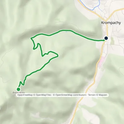 EasyOne-dayMarkedKrompachy, central orientation Biela skalaElevation profile377–926 m6.1 km≈ 1.5 h walking
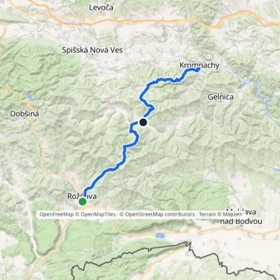 HardMulti-dayMarkedKrompachy, Central Orientation RožňavaElevation profile306–1 318 m55.4 kmascent 3 523 m
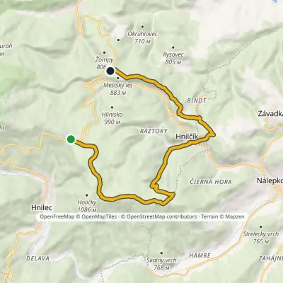 ModerateOne-dayMarkedGretla Grajnár SaddleElevation profile632–1 107 m15.8 kmascent 481 m≈ 5 h walking
Craft nearby
All craft places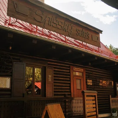 Koliby & Hutsul cuisineSpišský salaš below Spiš Castle: Spiš cooking since 1964Spišská Kapitula15 km from the trailBetween Spiš Castle and Spišská Kapitula, at the edge of the plain below the travertine mound of Sivá brada, stands the wooden Spišský salaš.
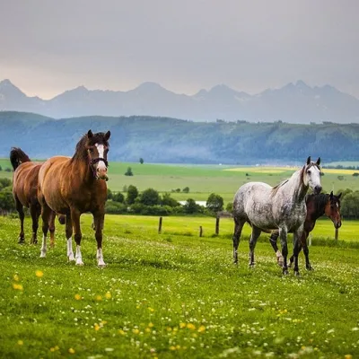 Horse ridingRanč u Trapera, Podlesok: Horse Rides in the Slovak ParadiseHrabušice16 km from the trailA little away from the main tourist bustle, below the forest, stands the family-run Ranč u Trapera, run by the Salaj family.
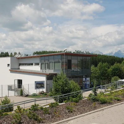 Water parks & thermal poolsThermal Park VrbovVrbov22 km from the trailThermal Park Vrbov is one of the best-known thermal baths in the Spiš region, on the southern edge of the village of Vrbov, about 6 km (as the crow flies) from...
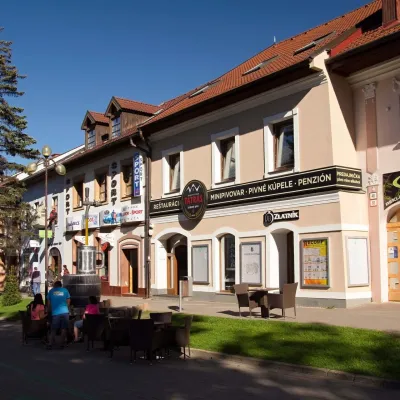 Craft beer & breweriesMinipivovar TATRAS, PopradPoprad25 km from the trailMinipivovar TATRAS is a brewpub on Poprad’s main square, Námestie sv. Egídia, housed in a building with a long brewing history.
 Water parks & thermal poolsAquaCity Poprad water parkPoprad26 km from the trailAquaCity Poprad is a large year-round water park and wellness complex in the town of Poprad, a few minutes from the centre; according to the complex, the High Tatras...
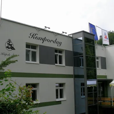 Water parks & thermal poolsŠtós spa: climatic cure, speleotherapy and poolŠtós27 km from the trailKúpele Štós is a climatic spa in south-eastern Slovakia, in the settlement of Štós-kúpele a few kilometres north of the mining village of Štós, where the Volovské...
