Kojšovská hoľa
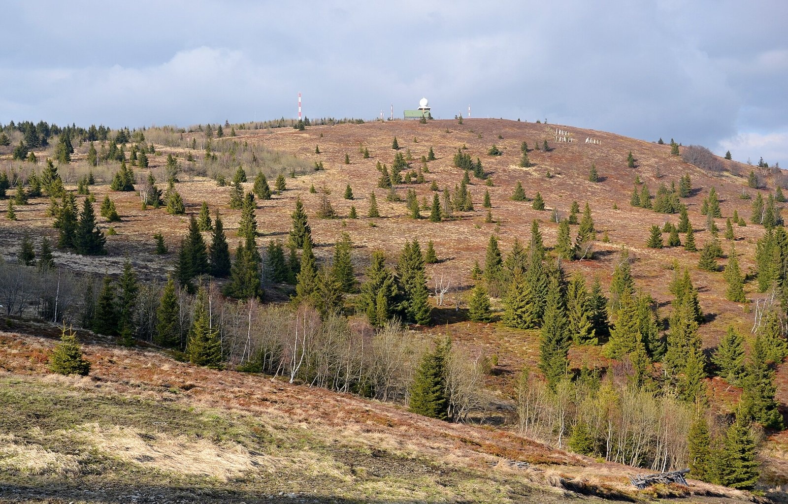
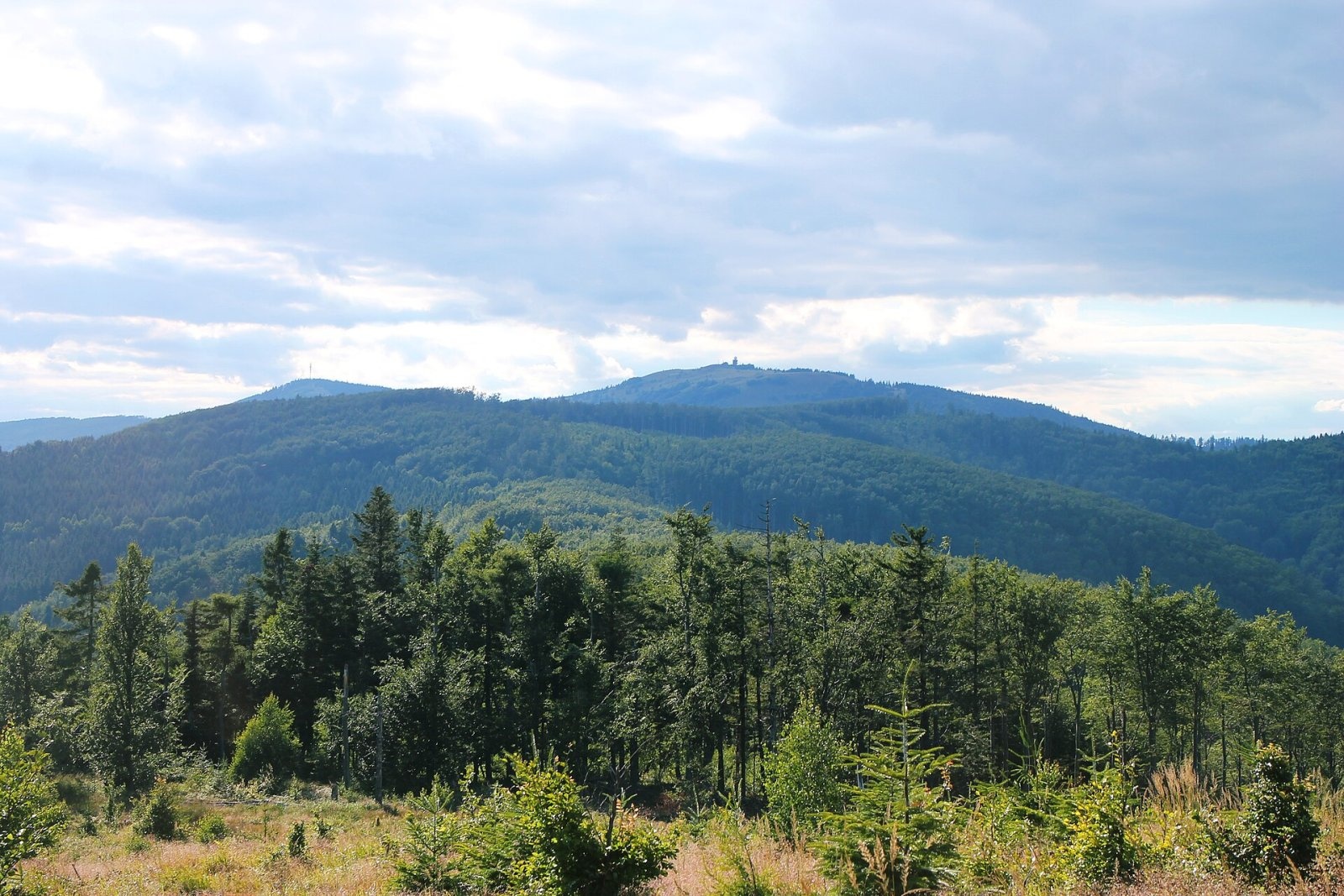
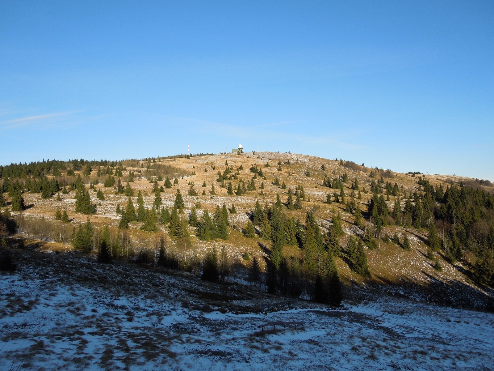
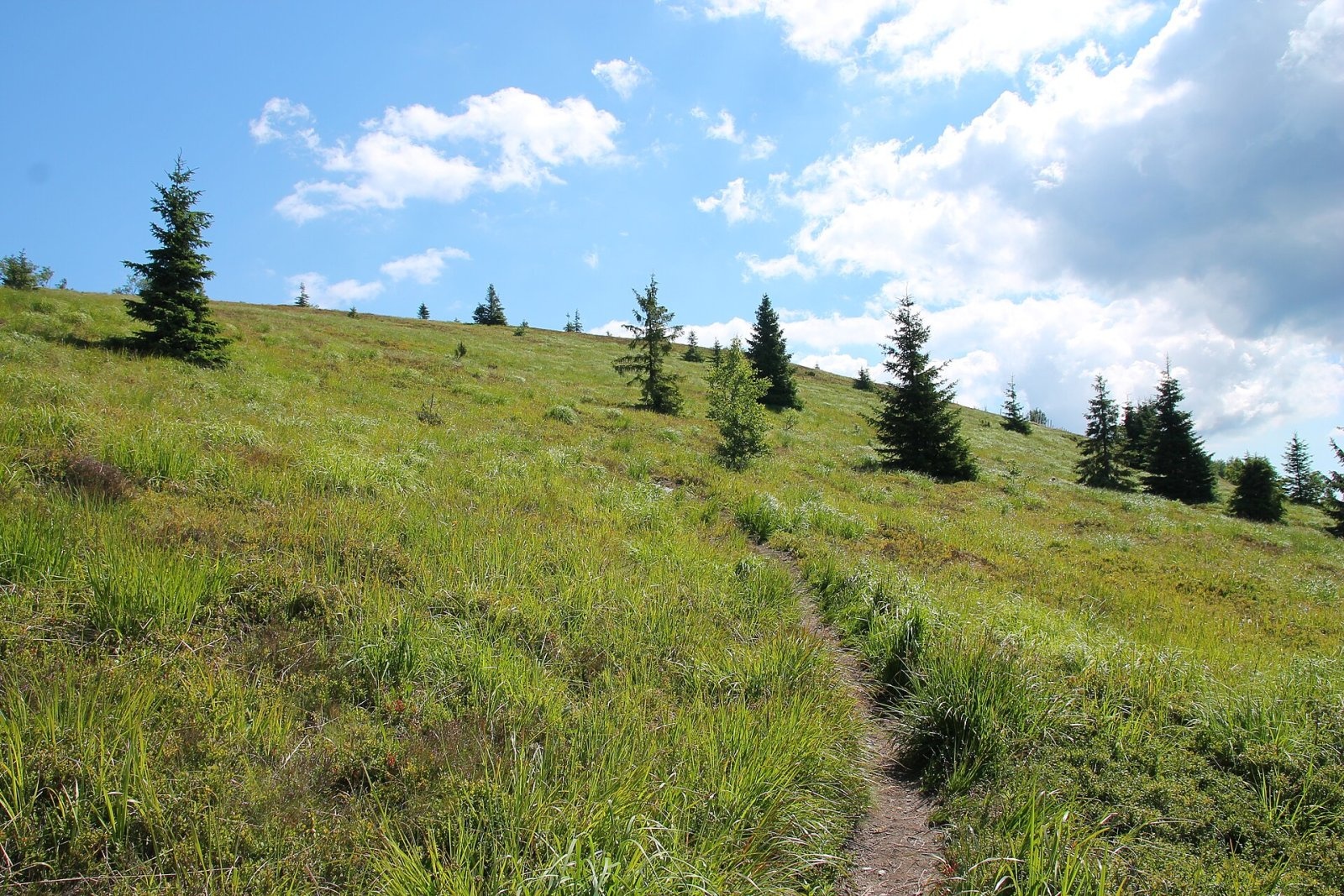
Kojšovská hoľa (colloquially Kojšovka; German Koischdorfer Höhe, Hungarian Kojsói-tető) is a 1,246 m mountain in the Volovské vrchy, part of the Slovak Ore Mountains in eastern Slovakia. It is the highest peak of the geomorphological subunit named after it and one of the most distinctive mountains of the region. It lies in the Košice Region, in the Gelnica District, in the cadastre of Kojšov, about 16 km west of Košice and 8 km south of Gelnica. The nearest villages are Zlatá Idka at the southern foot (about 3.6 km), Kojšov to the north (about 4.4 km), Opátka to the east and Prakovce to the north-west. A neighbouring spot on its flank (1,225 m) is the highest point of the Košice-okolie District.
The summit lies about 1.2 km north-east of the main ridge of the Volovské vrchy, which runs from Kloptaň to Predné holisko, and is linked to it by a shallow saddle to the south-west. Its most characteristic feature is a broad, fairly flat, treeless dome elongated from west to east like a huge loaf of bread; the top is covered with heather, bilberry and lingonberry. Below the dome the slopes are moderately cut by stream valleys. The whole mountain drains to the Hnilec: the southern, eastern and northern slopes via the Kojšovský potok, which rises at about 1,120 m, and the western slopes via the Perlový potok. To the west, beyond the saddle, stands the neighbouring Zlatoidská hora (1,232 m).
Getting there / routes
Several marked trails lead to the summit; Czech Wikipedia, based on a 1988 guidebook, gives these times:
- from Zlatá Idka on the blue trail to the saddle below Kojšovská hoľa, then yellow to the top – about 1 h 30 min up (1 h 10 min down), 587 m of ascent; the shortest route;
- from Kojšov on the blue trail via Strieborná, then red – about 3 h 05 min (2 h 50 min down);
- from Prakovce on the yellow trail past the Izbica gamekeeper’s lodge and Chata Erika – about 3 h 30 min (3 h 05 min down);
- from the town of Gelnica on the blue trail via Strieborná, then red – about 3 h 50 min.
Nearby, through the saddle below the summit, runs the red SNP Heroes’ Trail ridge route – from Kloptaň in the west and from Zlatoidské lúky in the east. An access road also leads to the weather station on top. About 1 km west of the summit, at 1,045 m, stands the Chata Erika mountain hut, the second-highest hut in the Košice Region.
The view from the top
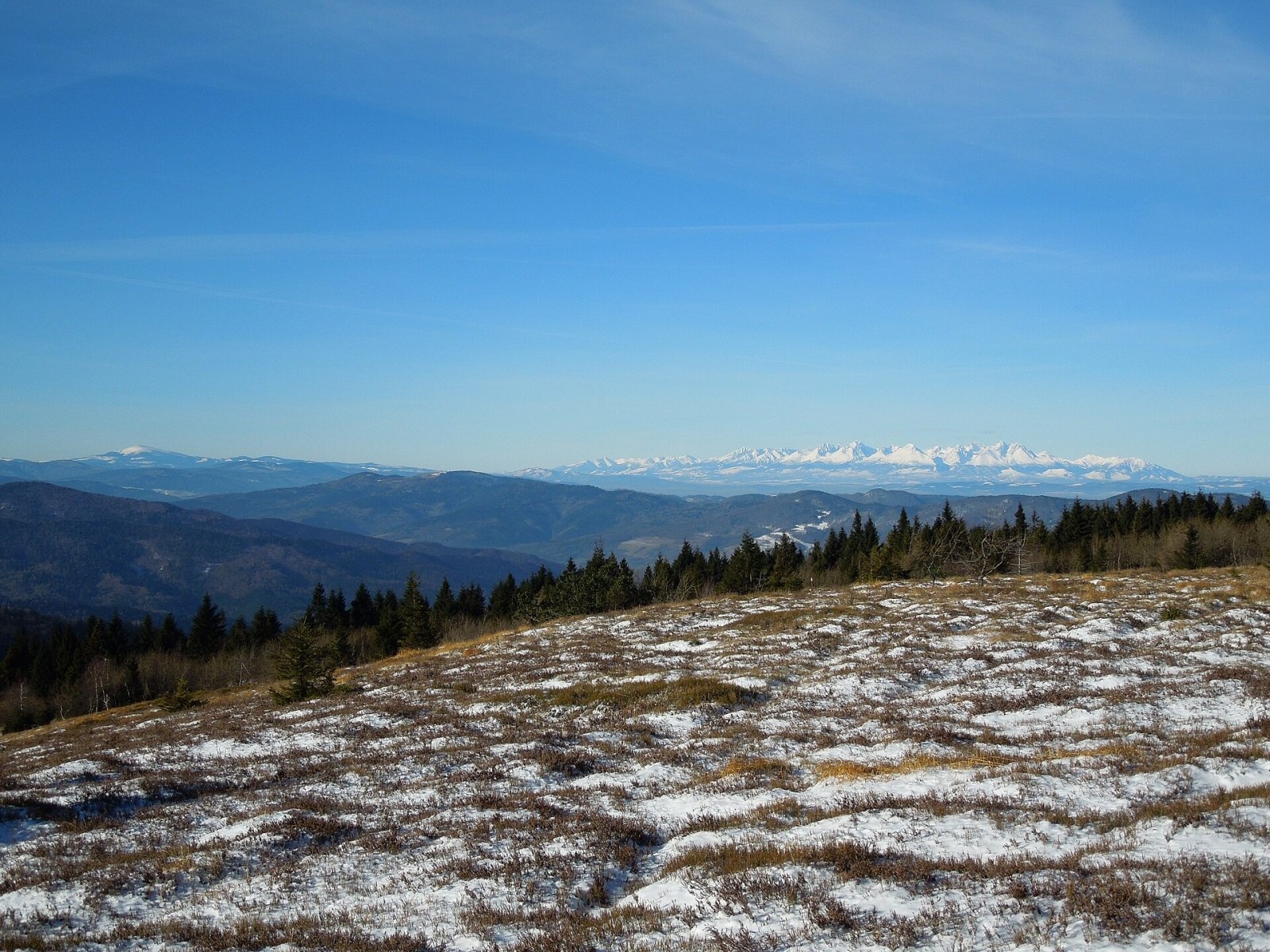
Low grassy vegetation leaves the view open, so the summit offers an all-round panorama – the main reason people come here. According to Slovak sources, in good weather you can see the surrounding Volovské vrchy, the Slanské vrchy, Čierna hora, Čergov, Branisko, the Levoča Mountains, the High Tatras, the eastern Low Tatras with Kráľova hoľa, the Stolické vrchy and many peaks of northern Hungary.
Nature and history
On the summit stands a meteorological and radar station of the Slovak Hydrometeorological Institute (SHMÚ) together with several telecommunication masts. The radar, upgraded in June 2015, measures precipitation every 15 minutes with an effective range of about 300 km; it is part of the flood forecasting and warning system together with stations on Malý Javorník, Španí laz and Kubínska hoľa. In winter a ski area with a chairlift and T-bar lifts operates on the southern slopes.
Safety, season and rules
Kojšovská hoľa is not high, but it is exposed to the wind, so the weather on top can be much harsher than in the valleys; do not stay on the bare dome by the masts during a thunderstorm. You can go all year round, but in winter skiers use the southern slopes – keep off the pistes. The mountain is not in a national park, but please stay on marked paths and take your litter home. Mountain Rescue Service HZS: 18 300 (+421 18 300), general emergency number 112.
Interesting facts
- Locals affectionately call the mountain Kojšovka.
- The radar on the summit “sees” precipitation up to 300 km away – far beyond Slovakia’s borders.
- Chata Erika below the summit is the second-highest mountain hut in the Košice Region.
Photos: Pudelek, CC BY-SA 4.0; Draceane, CC BY-SA 4.0; Milan Bališin, CC BY-SA 4.0; Milan Bališin, CC BY-SA 4.0; Draceane, CC BY-SA 4.0; Milan Bališin, CC BY-SA 4.0 — Wikimedia Commons.
Getting there from Ukraine
Border crossings
- Uzhhorod – Vyšné Nemecké — road, 24/7
- Malyi Bereznyi – Ubľa — road, 24/7 For cars and buses; pedestrians not confirmed by the Ukrainian border service, lorries up to 3.5 t.
- Mali Selmentsi – Veľké Slemence (pedestrian) — pedestrian, 09:00–21:00 Kyiv time Pedestrians and cyclists only; inconvenient for the Tatras without onward transport.
- Chop – Čierna nad Tisou (rail) — rail, 24/7
By car
From Uzhhorod ≈182 km, ≈2 h 45 min without queues: Uzhhorod – Vyšné Nemecké → I/19 via Sobrance and Michalovce to Košice → D1 motorway via Prešov to the exit near Levoča → road 533 to Spišská Nová Ves (≈177 km, ≈2 h 30 min from the border). From Lviv via Uzhok and Ubľa ≈407 km, ≈6 h 40 min; through Poland (Kraków – Nowy Targ) ≈496 km, ≈6 h 20 min. The D1 requires an e-vignette (eznamka.sk).
Checked 23.10.2026; border crossing hours and timetables change — check before you travel.
Location on the map
Water and shelter nearby
- Drinking water below Zlatoidská hora740 m · Not verified · 1 160 m
- Erika Hut, 1 137 m1.2 km · Standing · 1 137 m
- St. Roland Spring1.2 km · Not verified · 958 m
- Jožkova Hut1.8 km · Not verified · 1 138 m
- Spring below Hrb (north-east slope)1.8 km · Not verified · 774 m
- Jankova studňa Spring2.3 km · Not verified · 1 009 m
- Žerucha, 820 m2.4 km · Not verified · 820 m
Comments
Trails nearby
All trails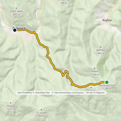 EasyOne-dayMarkedPrakovce, stop Kojšovská hoľaElevation profile376–1 246 m10.3 kmascent 12 m≈ 2.5 h walkingunder 1 km from Kojšovská hoľa
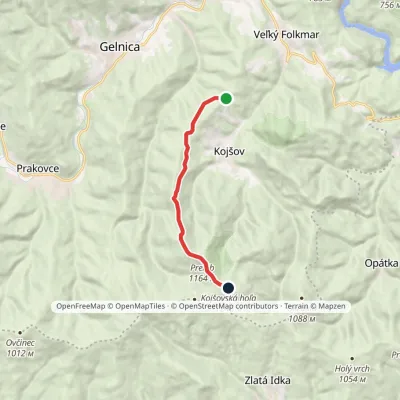 ModerateOne-dayMarkedStrieborná Kojšovská hoľaElevation profile642–1 246 m8.4 kmascent 672 m≈ 3.5 h walkingunder 1 km from Kojšovská hoľa
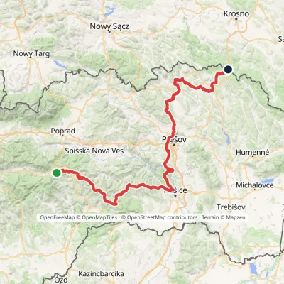 HardMulti-dayMarkedPred Čuntavou Dukliansky PassElevation profile227–1 293 m280.7 kmascent 8 346 munder 1 km from Kojšovská hoľa
Nearby attractions
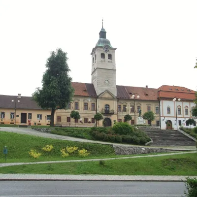 MuseumMining Museum in Gelnica and the Jozef AditGelnica8.7 km from Kojšovská hoľaThe Mining Museum in Gelnica (Banícke múzeum v Gelnici) is the town museum of an old mining town in the Hnilec valley, among the Volovské vrchy, part of the Slovak Ore...
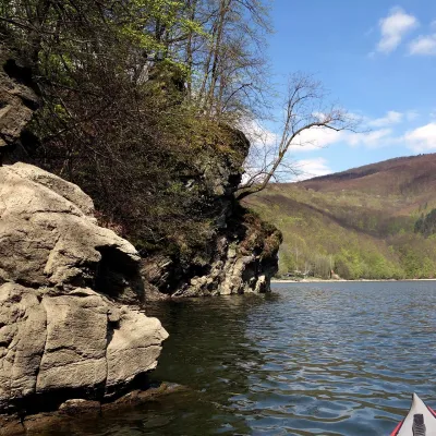 LakeRužín reservoir on the HornádMalá Lodina11 km from Kojšovská hoľaRužín is a reservoir on the Hornád river in the deep, winding valley of the Čierna hora hills, the north-eastern part of the Slovak Ore Mountains, a dozen or so...
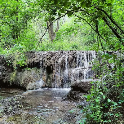 WaterfallHáj waterfalls in the Slovak KarstHáj19 km from Kojšovská hoľaThe Háj waterfalls (Hájske vodopády, Hungarian Áji vízesések) are a cascade of travertine waterfalls in the Háj valley in the Slovak Karst National Park (Slovenský...
Craft nearby
All craft places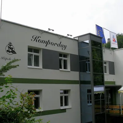 Water parks & thermal poolsŠtós spa: climatic cure, speleotherapy and poolŠtós16 km from Kojšovská hoľaKúpele Štós is a climatic spa in south-eastern Slovakia, in the settlement of Štós-kúpele a few kilometres north of the mining village of Štós, where the Volovské...
 Craft beer & breweriesHerrenwald craft brewery, Malá Ida: tour with the brewerMalá Ida17 km from Kojšovská hoľaThe Herrenwald brewery stands in its Panský les ("Lords’ Wood") quarter, from whose German name it takes its own.
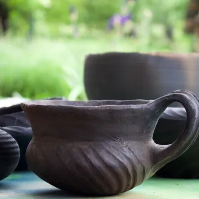 Crafts & workshopsHáj Pottery: wheel-thrown ceramics and wood-fired kilns in HájHáj20 km from Kojšovská hoľaAt the back of an old farmhouse here is Háj Pottery (Hájske hrnčiarstvo), run by Amália Holíková. She throws utility ware on the wheel and models it by hand, but her...
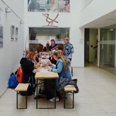 Crafts & workshopsÚĽUV Craft Centre Košice: craft workshops and folk-art shopBaška21 km from Kojšovská hoľaÚĽUV (Ústredie ľudovej umeleckej výroby, the Centre for Folk Art Production) is a state institution that has looked after Slovak folk crafts since 1945: it keeps a...
 Crafts & workshopsMacák Pottery on Košice’s Craft Lane: ceramics and coursesHrašovík21 km from Kojšovská hoľaHrnčiarska Street in Košice old town is known as the "Craft Lane" (Ulička remesiel): craftspeople work in small houses below the walls of the former town fortifications.
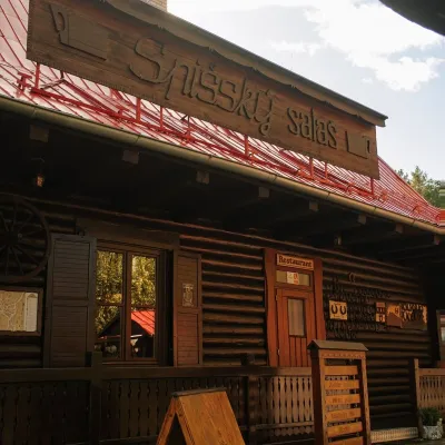 Koliby & Hutsul cuisineSpišský salaš below Spiš Castle: Spiš cooking since 1964Spišská Kapitula31 km from Kojšovská hoľaBetween Spiš Castle and Spišská Kapitula, at the edge of the plain below the travertine mound of Sivá brada, stands the wooden Spišský salaš.
