Čierna hora (Levoča Mountains)

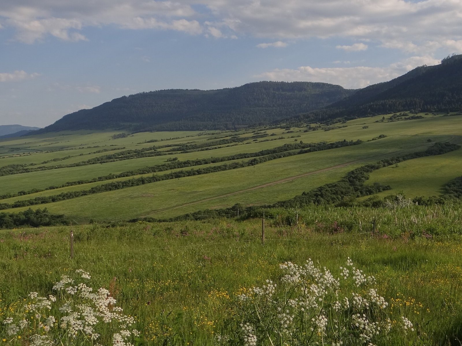
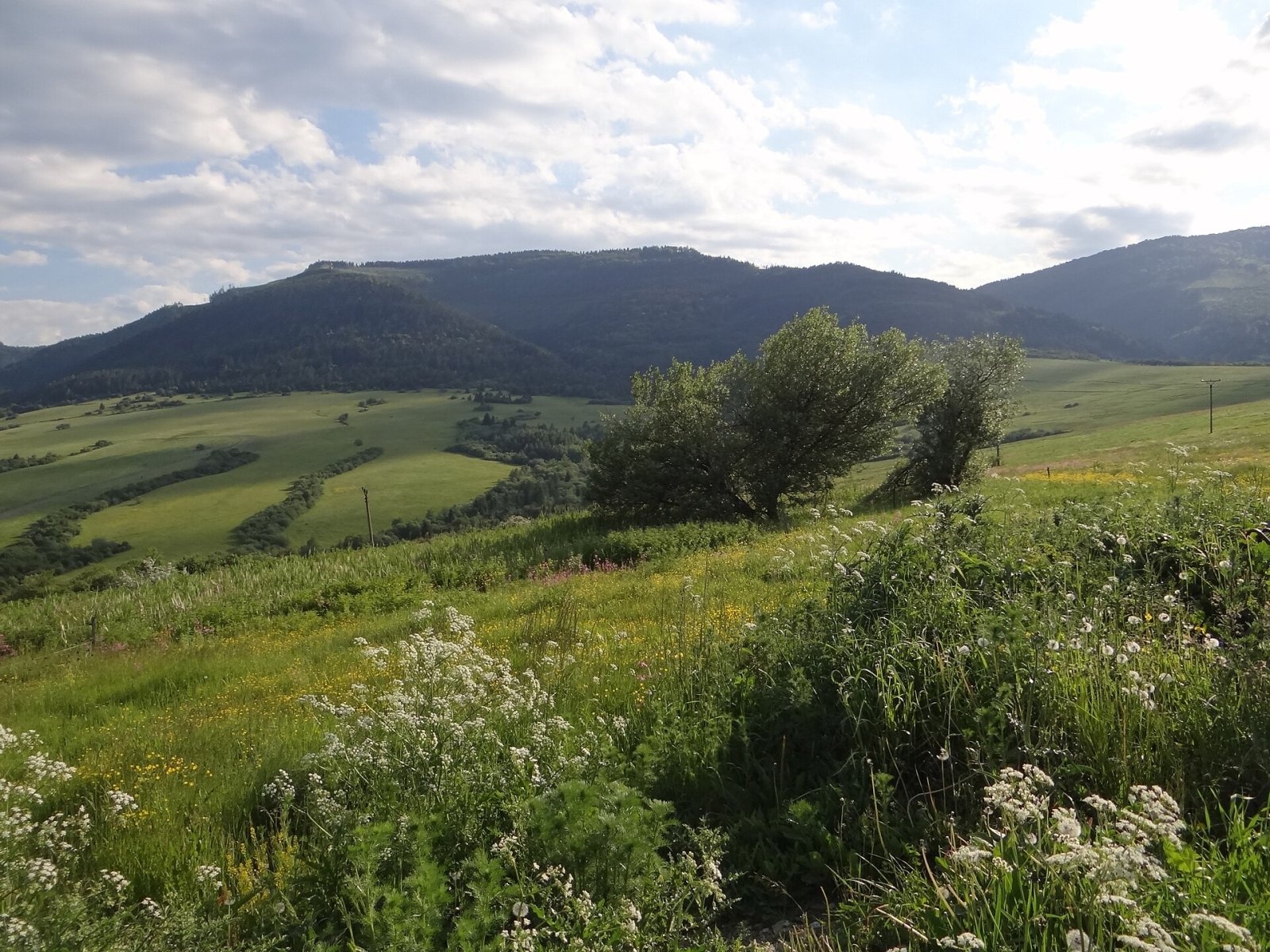
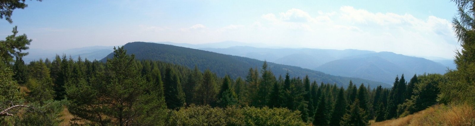
Čierna hora is a 1289.4 m summit, the highest point of the Slovak Levoča Mountains (Levočské vrchy) – a flysch range of the Podhôľno-magurská region in eastern Slovakia, between the Poprad basin and Spiš. It stands about 6 km east of the village of Ihľany and 12 km south of Stará Ľubovňa in the Prešov Region; its slopes belong to the cadastres of Jakubany and Lomnička. With a prominence of about 605 m it clearly rises above the surrounding ridges.
The mountain lies in the northern part of the centre of the range, in the Levoča Highlands, at the southern end of a massive ridge that curves in a U shape from Macková (985 m) via Ihla (1282 m) and Čierna hora to Javorinka (1166 m). Ihla lies to the west, Banisko (1143 m) to the north-east and Šípková hora (1149 m) to the east. The mountain drains to the Poprad: tributaries of the Kolačkovský stream rise on the north side, tributaries of the Jakubianka on the east and south.
How to get there / routes
No marked hiking trail leads to the summit. The easiest approach is by forest roads from Ihľany. Slovak sources also suggest an ascent from Nižné Ružbachy on the red trail, branching off via Ihla – the last section is unmarked, so a map or navigation is needed. Sources give no official walking times.
What you can see from the summit
Much of the mountain is treeless, so the views are unusually wide for the Levoča Mountains. The whole ridge as far as Ihla looks over the surrounding summits of the range, and above all over the Belianske and part of the High Tatras. The Kráľova hoľa Tatras, the Volovské vrchy, Branisko and even Babia hora are also well visible.
Nature and history
The Levoča Mountains are built of sandstones, shales, conglomerates and breccias. The ridges are covered by compact spruce forests mixed with fir, while beech-oak forests grow on the warm southern slopes. The range lies in the rain shadow of the Tatras, so it gets less precipitation than the neighbouring mountains.
For more than half a century the area was closed: until the end of 2005 the summit lay inside the Javorina military training area, set up in 1952 when several villages were forcibly evacuated. The Javorina military district itself was abolished on 1 January 2011, and the mountains opened up again to hikers and cyclists. In summer 2026 the Slovak defence minister confirmed a plan to re-establish a training area here; according to reports, the ministry hopes to reach agreements with landowners over the next few years.
Safety, season and rules
With no waymarks and dense forest, navigation is harder here than on popular Slovak routes, so carry an offline map. There are drinking-water springs near the summit – the "Pod Ihlou" well and the Polomka well (about 2 km away) – and a shelter, but it is better to carry water. Before you go, check whether any new restrictions linked to the military plans apply in the Levoča Mountains. In the Slovak mountains help comes from the Mountain Rescue Service HZS: 18 300 (+421 18 300) or 112.
Interesting facts
- Čierna hora is the highest summit of the Levoča Mountains, yet it has almost no tourist infrastructure.
- Because of the training area, for decades the summit was known mainly from military maps.
Photos: Jerzy Opioła, CC BY-SA 4.0; Jerzy Opioła, CC BY-SA 4.0; Jerzy Opioła, CC BY-SA 4.0; Dusan Bajus, CC BY 3.0 — Wikimedia Commons.
Getting there from Ukraine
Border crossings
- Uzhhorod – Vyšné Nemecké — road, 24/7
- Malyi Bereznyi – Ubľa — road, 24/7 For cars and buses; pedestrians not confirmed by the Ukrainian border service, lorries up to 3.5 t.
- Mali Selmentsi – Veľké Slemence (pedestrian) — pedestrian, 09:00–21:00 Kyiv time Pedestrians and cyclists only; inconvenient for the Tatras without onward transport.
- Chop – Čierna nad Tisou (rail) — rail, 24/7
By car
From Lviv ≈382 km, ≈5 h 15 min without queues: M-10 → Krakovets – Korczowa → A4 to Brzesko → DK75 to Nowy Sącz → DK87 via Piwniczna-Zdrój to the internal Schengen crossing Piwniczna – Mníšek nad Popradom → I/68 to Stará Ľubovňa (≈304 km, ≈3 h 50 min from the Ukrainian border). From Uzhhorod ≈183 km, ≈3 h: Vyšné Nemecké → I/19 to Košice → D1 to Prešov → I/68 via Sabinov and Lipany to Stará Ľubovňa. Via Uzhok and Ubľa ≈408 km, ≈6 h 55 min. The D1 requires an e-vignette (eznamka.sk).
Checked 23.10.2026; border crossing hours and timetables change — check before you travel.
Location on the map
Water and shelter nearby
- Hut below Čierna Hora790 m · Not verified · 1 095 m
- Spring "Pod Ihlou"1.8 km · Not verified · 1 161 m
- Polomka Spring2.1 km · Not verified · 1 026 m
- Spring below Malá Ihla (south-east slope)2.8 km · Not verified · 1 037 m
Comments
Trails nearby
All trails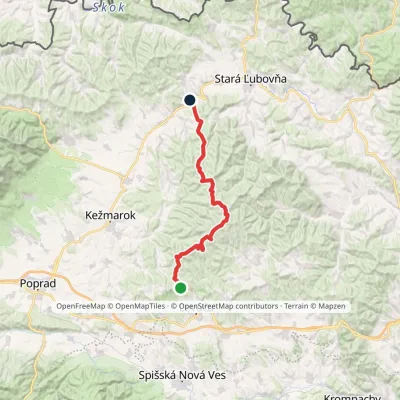 HardMulti-dayMarkedZbojnícka lúka Nižné Ružbachy, ChurchElevation profile549–1 206 m39.5 kmascent 779 m≈ 11.5 h walkingunder 1 km from Čierna hora (Levoča Mountains)
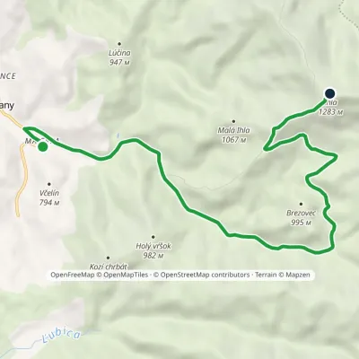 ModerateOne-dayMarkedVčelín IhlaElevation profile686–1 283 m10.5 kmascent 597 m≈ 4 h walking1.5 km from Čierna hora (Levoča Mountains)
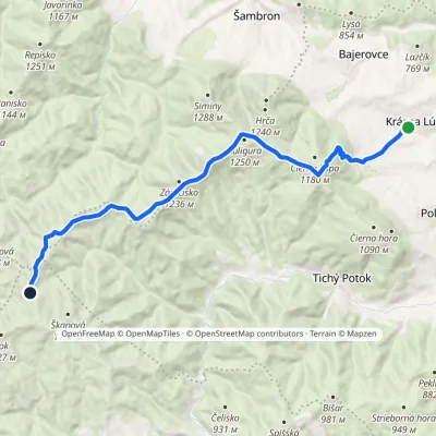 ModerateTwo-dayMarkedSaddle below Škapová Krásna lúkavia Jankove, former forester's lodge, Vyšný Toráč, Priehyba +1Elevation profile564–1 244 m17.9 kmascent 878 m≈ 6 h walking4.1 km from Čierna hora (Levoča Mountains)
Nearby attractions
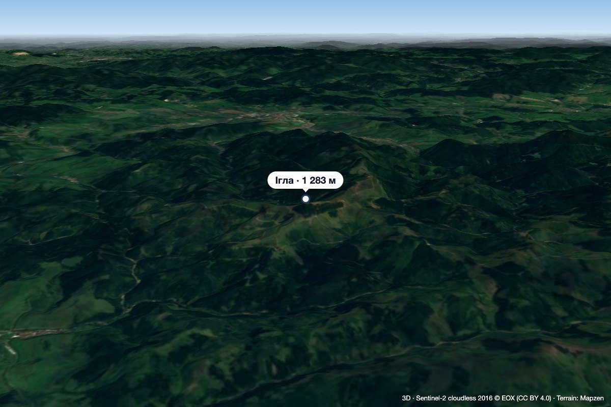 PeakIhla (Levoča Hills)Ihľanyaltitude 1 283 m1.5 km from Čierna hora (Levoča Mountains)Ihla (Slovak for "needle"; German Nadel) is a 1283 m summit in the Levoča Hills (Levočské vrchy) in eastern Slovakia, the third highest in the range.
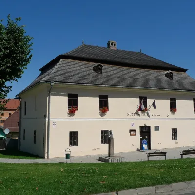 MuseumJ. M. Petzval Museum in Spišská BeláSpišská Belá12 km from Čierna hora (Levoča Mountains)The Joseph Maximilian Petzval Museum (Múzeum J. Petzvala) in the small town of Spišská Belá is a modest but unique museum of photography and film at the foot of the...
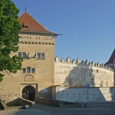 CastleKežmarok CastleKežmarok15 km from Čierna hora (Levoča Mountains)Kežmarok Castle (Kežmarský hrad) stands in Kežmarok on Castle Square (Hradné námestie). According to the Kežmarok Museum it is the only fully preserved castle in the...
Craft nearby
All craft places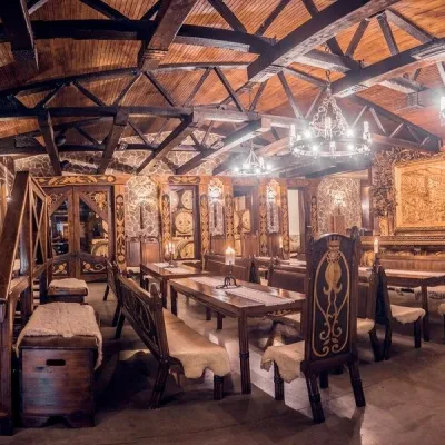 Craft producersNestville Distillery, Hniezdne — Home of the First Slovak WhiskyHniezdne12 km from Čierna hora (Levoča Mountains)This tradition is the basis for BGV, a company founded in 2001, which built the Nestville Distillery here.
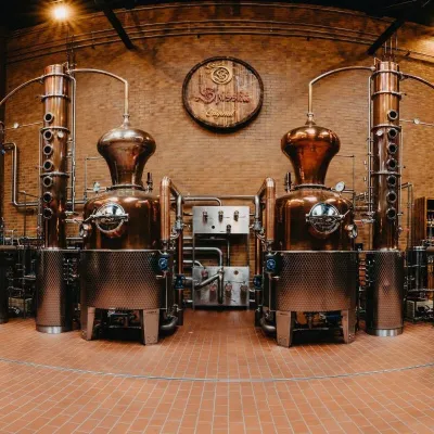 Craft producersSpišská Pálenica, Stará Ľubovňa: distillery tour and Spiš borovičkaStará Ľubovňa13 km from Čierna hora (Levoča Mountains)Spiš boasts perhaps the oldest history of distilling in Europe: at the hillfort of Myšia Hôrka near Spišský Štvrtok, part of a distillation vessel from around 1500 BC...
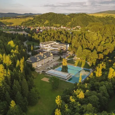 Water parks & thermal poolsVyšné Ružbachy Spa: Izabela Mountain Pools and Indoor Thermal PoolVyšné Ružbachy14 km from Čierna hora (Levoča Mountains)Vyšné Ružbachy is one of Slovakia’s oldest spas. It lies on the south-eastern slope of the Spišská Magura at about 617 m, surrounded by coniferous forest that merges...
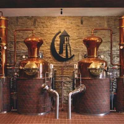 Craft producersCastle Distillery below Ľubovňa Castle: fruit spirits and tastingsStará Ľubovňa15 km from Čierna hora (Levoča Mountains)Stará Ľubovňa is a town in northern Spiš, overlooked by Ľubovňa Castle. For more than three and a half centuries Ľubovňa was one of the Spiš towns pledged to the...
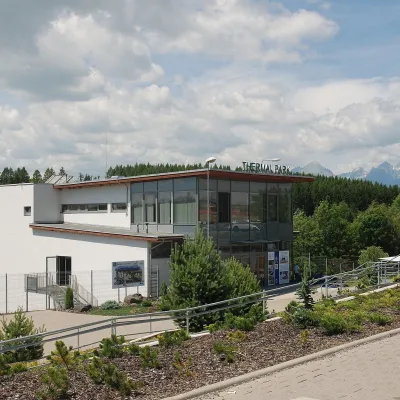 Water parks & thermal poolsThermal Park VrbovVrbov19 km from Čierna hora (Levoča Mountains)Thermal Park Vrbov is one of the best-known thermal baths in the Spiš region, on the southern edge of the village of Vrbov, about 6 km (as the crow flies) from...
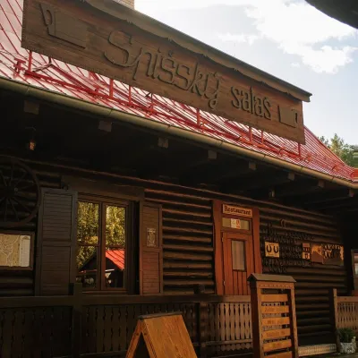 Koliby & Hutsul cuisineSpišský salaš below Spiš Castle: Spiš cooking since 1964Spišská Kapitula22 km from Čierna hora (Levoča Mountains)Between Spiš Castle and Spišská Kapitula, at the edge of the plain below the travertine mound of Sivá brada, stands the wooden Spišský salaš.
