Vyšný Slavkov – Roveň
Trail map
Route, springs and shelters: © OpenStreetMap contributors (ODbL) · elevation: Copernicus DEM © DLR e.V., © Airbus DS · Data & licences
About the trail
Route Vyšný Slavkov – Roveň. Has red marking (local route, KST). Waymarking data: OpenStreetMap (© OpenStreetMap contributors, ODbL).
Officially marked local tourist route. Marking is red, sign — triangle in the corner on a white background. Marked and maintained by: KST. Length of the route — 3.5 km. Location: mountain range — Spišská Magura, Slovakia.
At a glance
A short route of 3.5 km with 277 m of ascent from Vyšný Slavkov to Roveň. Estimated walking time: about 1.5 h, not counting stops. Difficulty: easy. Waymarking: red.
Route stages
- 0–1.5 kmGentle ups and downs at 560–630 m
- 1.5–3.5 kmClimb of 200 m (up to 831 m)
Steepest kilometre: km 2–3, a climb of 110 m (≈11%).
Water and overnight stays
A spring near the trail: at km 0.
When to go
The route can be walked most of the year; it is most comfortable from April to October.
Getting there
Start: Vyšný Slavkov. This is a one-way route: the finish is 2 km from the start in a straight line, so plan your way back in advance.
FAQ
- How long does the route take?
- Estimated walking time: about 1.5 h, not counting stops.
- Is there water on the route?
- A spring near the trail: at km 0.
Water and shelter on the route
- Drinking water below Homôľkakm 0.2 from the start · 180 m off the path · Not verified · 576 m
Comments
Trails nearby
All trails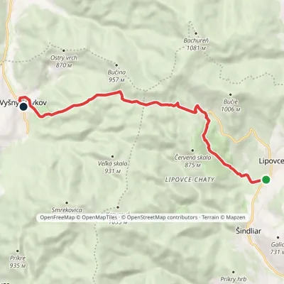 EasyOne-dayMarkedVyšný Slavkov Lipovce, SchoolElevation profile536–861 m10.3 kmascent 333 m≈ 3 h walking
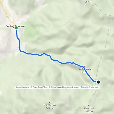 EasyOne-dayMarkedVyšný Slavkov BoldigáňElevation profile565–945 m4.5 kmascent 384 m≈ 2 h walking
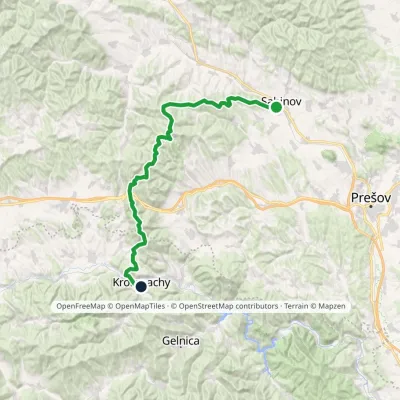 HardMulti-dayMarkedSabinov Krompachyvia Branisko PassElevation profile321–1 129 m48.9 kmascent 1 967 m
Craft nearby
All craft places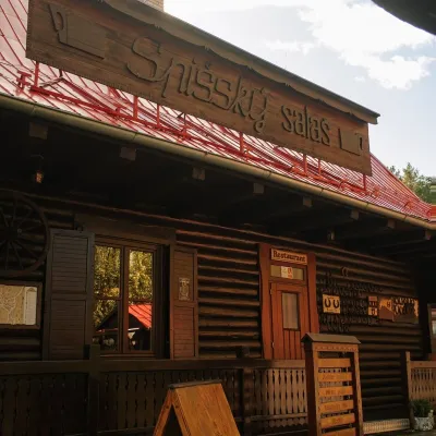 Koliby & Hutsul cuisineSpišský salaš below Spiš Castle: Spiš cooking since 1964Spišská Kapitula12 km from the trailBetween Spiš Castle and Spišská Kapitula, at the edge of the plain below the travertine mound of Sivá brada, stands the wooden Spišský salaš.
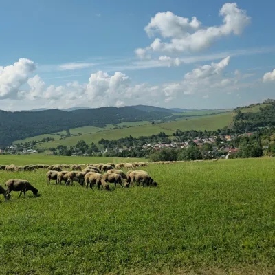 Cheese dairies & pasturesFarma Kamenica — Family Sheep Farm and Cheese Dairy in ŠarišKamenica16 km from the trailKamenica is a village in northern Šariš, in the valley of the Kameničanka stream, at about 483 m above sea level.
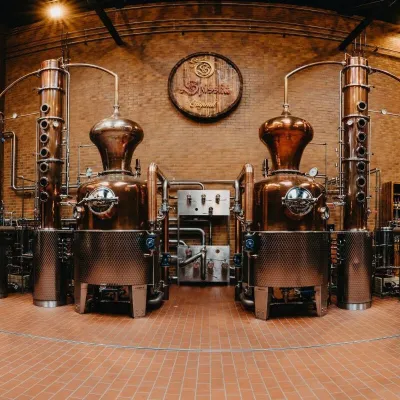 Craft producersSpišská Pálenica, Stará Ľubovňa: distillery tour and Spiš borovičkaStará Ľubovňa27 km from the trailSpiš boasts perhaps the oldest history of distilling in Europe: at the hillfort of Myšia Hôrka near Spišský Štvrtok, part of a distillation vessel from around 1500 BC...
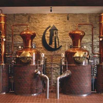 Craft producersCastle Distillery below Ľubovňa Castle: fruit spirits and tastingsStará Ľubovňa29 km from the trailStará Ľubovňa is a town in northern Spiš, overlooked by Ľubovňa Castle. For more than three and a half centuries Ľubovňa was one of the Spiš towns pledged to the...
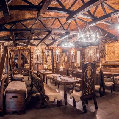 Craft producersNestville Distillery, Hniezdne — Home of the First Slovak WhiskyHniezdne30 km from the trailThis tradition is the basis for BGV, a company founded in 2001, which built the Nestville Distillery here.
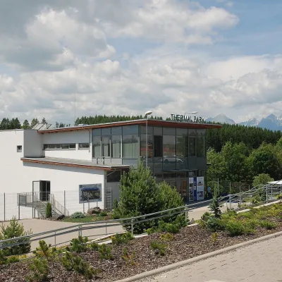 Water parks & thermal poolsThermal Park VrbovVrbov31 km from the trailThermal Park Vrbov is one of the best-known thermal baths in the Spiš region, on the southern edge of the village of Vrbov, about 6 km (as the crow flies) from...
