Prešov District
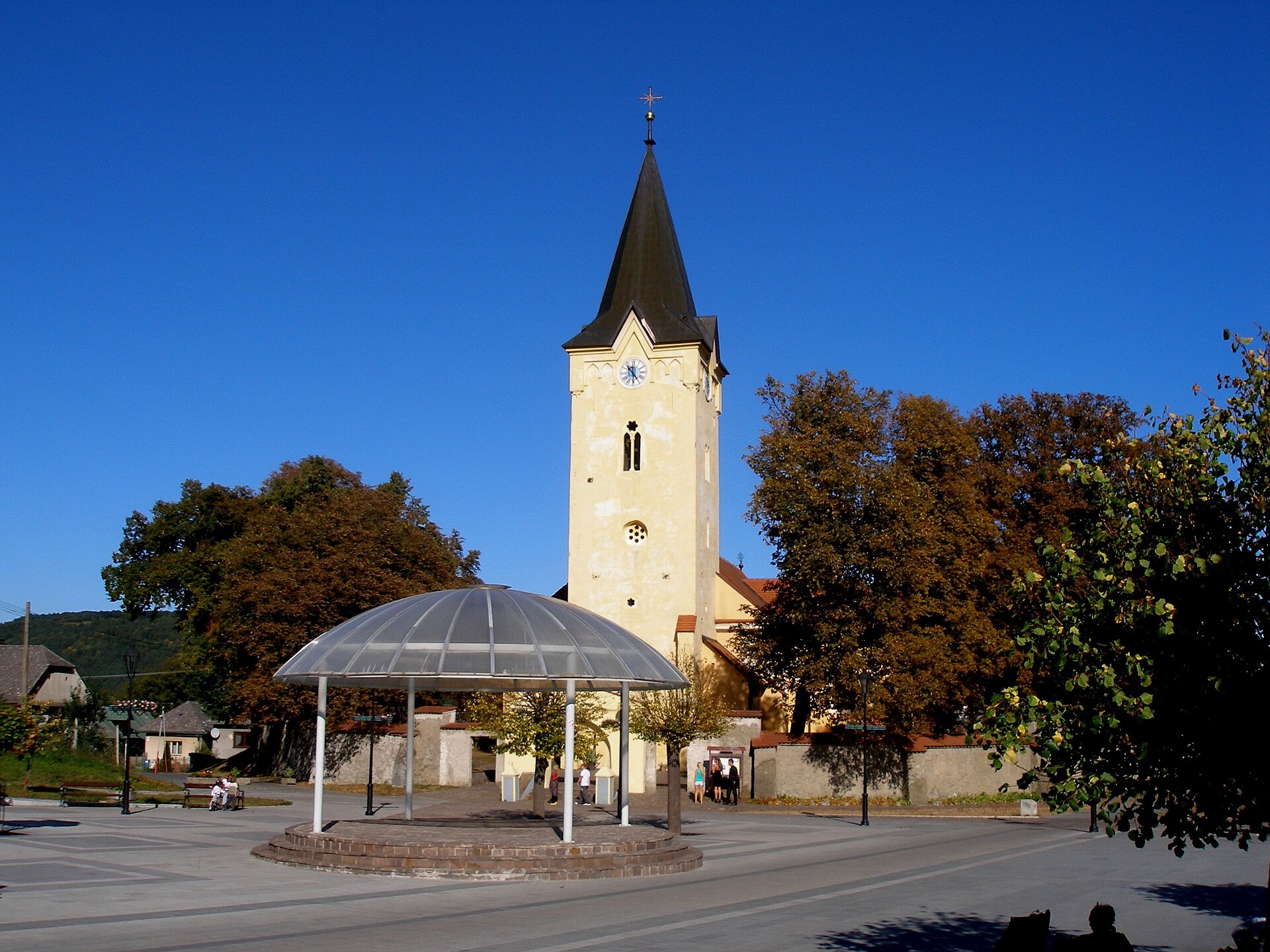
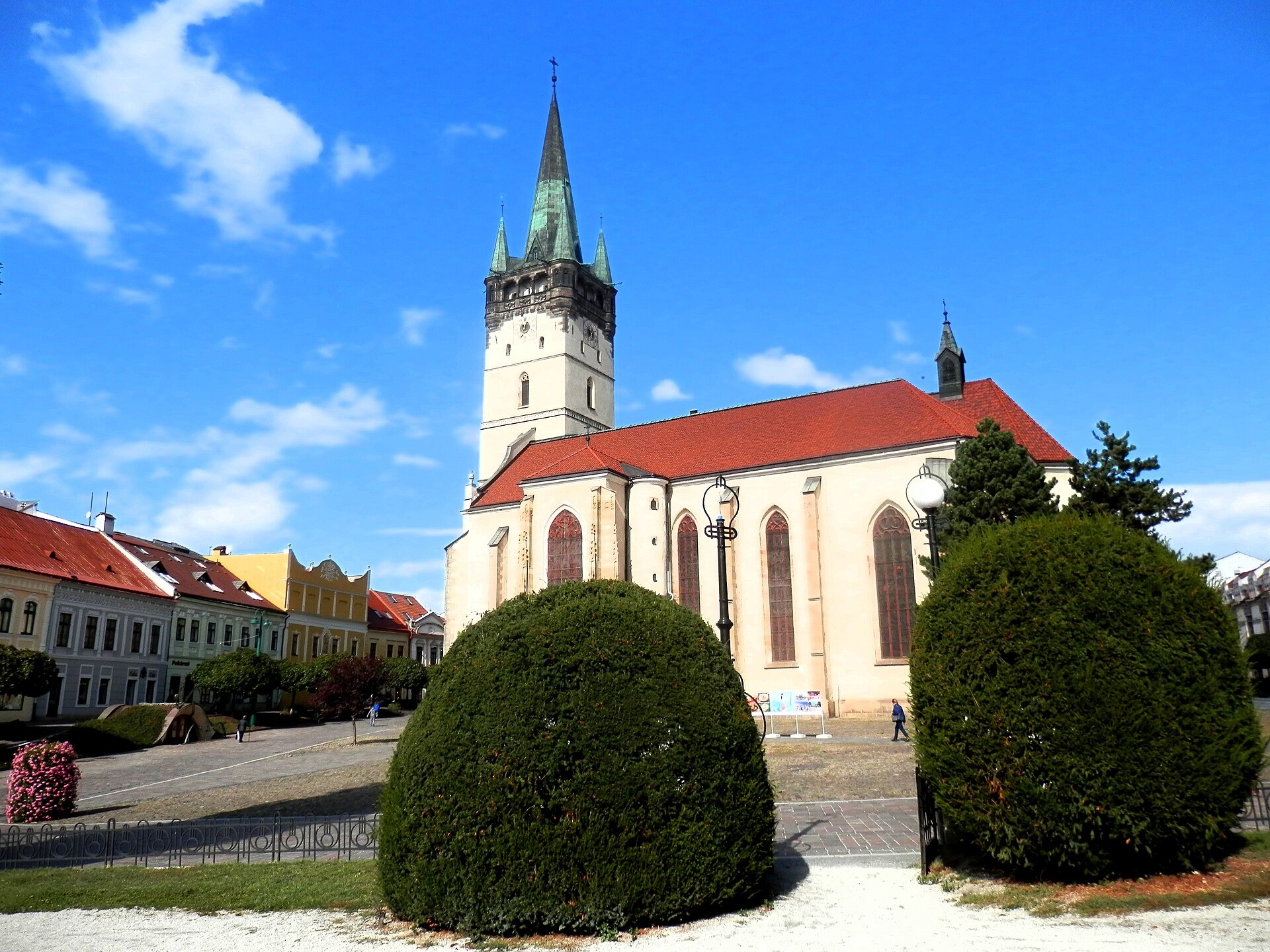
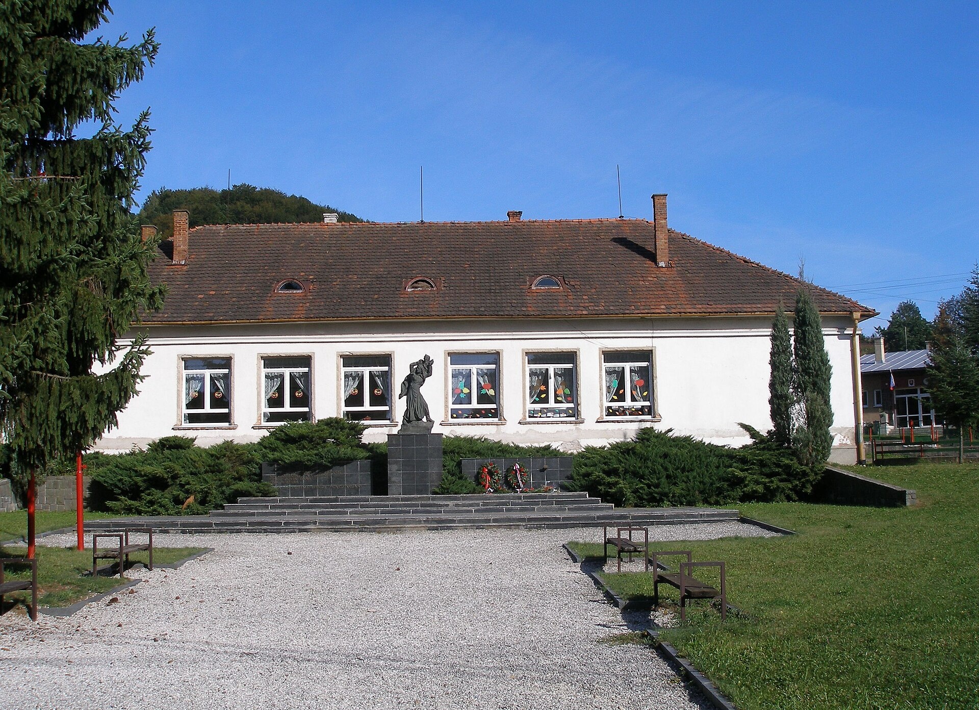
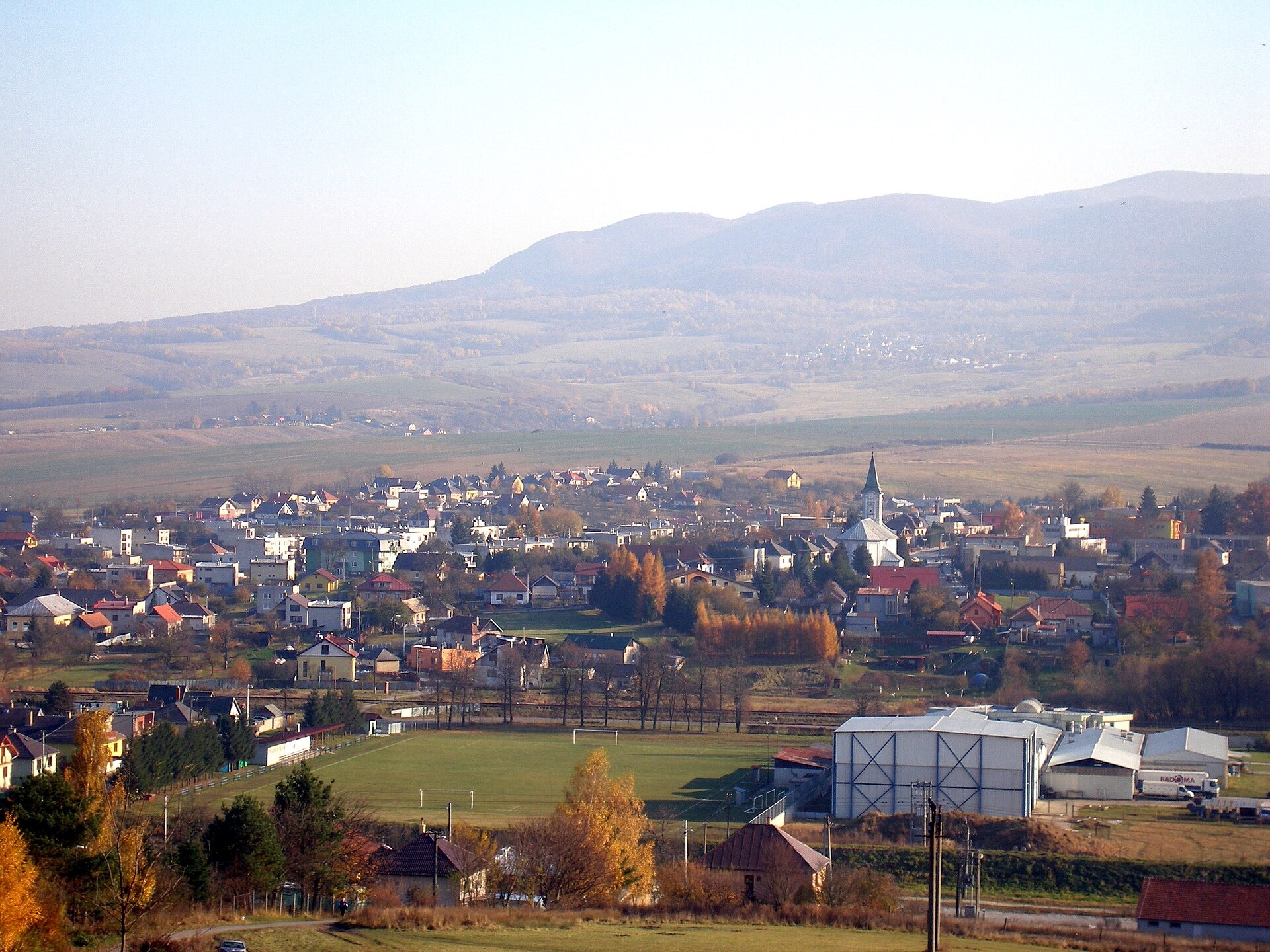
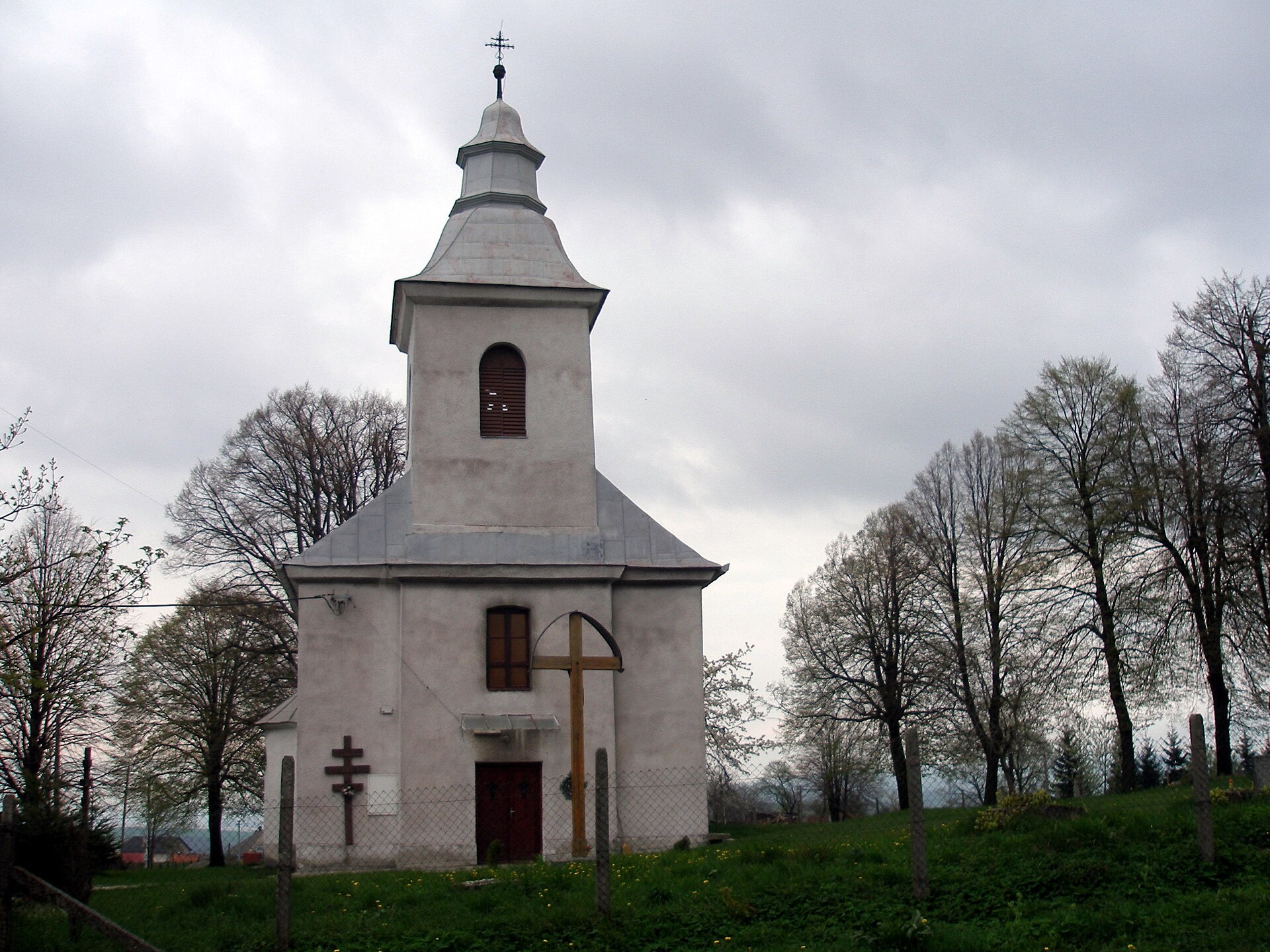
Photos: Veľký Šariš (Ing.Mgr.Jozef Kotulič, CC BY-SA 3.0); Prešov (Ing.Mgr.Jozef Kotulič, CC BY-SA 4.0); Zlatá Baňa (Jozef Kotulič, CC BY-SA 3.0); Kapušany (Ing.Mgr.Jozef Kotulič, CC BY-SA 3.0); Geraltov (Jozef Kotulič, CC BY 3.0)
Prešov District is an administrative district in the Prešov Region of eastern Slovakia, with its centre in the city of Prešov. Historically, the area belonged to the Sáros region. The district borders Bardejov, Svidník, Vranov nad Topľou, Levoča, and Sabinov districts, as well as the Košice Region. There are 91 municipalities in the district, including two towns: Prešov and Veľký Šariš.
The district is known for its natural landscapes, including the Hanusovce and Torysa Hills. Part of the population is of Rusyn-Ukrainian origin, with Greek Catholic and Orthodox communities present. The region's nature attracts those interested in outdoor activities and hiking.
On karpaty.rocks you will find trails passing through Lipovce, Zlata Bana, Ternia, Prešov, Podhradik, Fintice, as well as sights in Veľký Šariš, Abranovce, Haniska, Drienovská Nová Ves, Geraľtov, and Sedlice. Popular routes include Mala Lodina – Sedlice, Zlata Bana – Bystre, and Prešov, Za kalváriou – Slovenské Nové Mesto. Notable sights are Šariš Castle near Prešov and the "Solivar" museum in Prešov. Tourists can also use the Cherhiv hut.
Getting there from Ukraine
From Uzhhorod ≈138 km, ≈2 h 30 min without queues: Uzhhorod – Vyšné Nemecké → I/19 to Michalovce → I/18 via Vranov nad Topľou towards Prešov → I/545 to Bardejov (≈133 km, ≈2 h 20 min from the border). From Lviv it is faster through Poland: M-10 → Krakovets – Korczowa → A4 to Dębica → DK73 to Jasło → DK28 to Gorlice → DW977 over the internal Schengen crossing Konieczna – Becherov → I/545 to Bardejov: ≈329 km, ≈5 h 10 min (≈251 km, ≈3 h 40 min from the border). Via the Uzhok Pass and Ubľa ≈345 km, ≈6 h 20 min.
Sources: Wikipedia, Wikidata, OpenStreetMap, Karpaty.rocks data.
Towns and villages
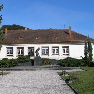 Zlatá Baňa5 trails, 1 peak
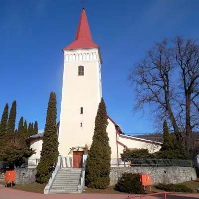 Lipovce5 trails
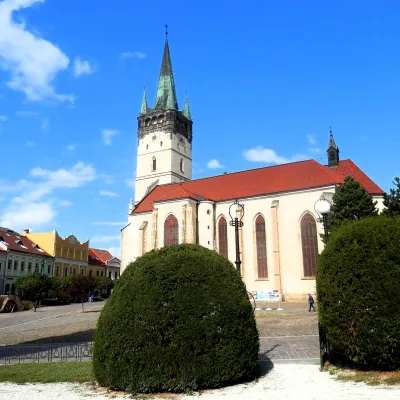 Prešov2 trails, 1 sight
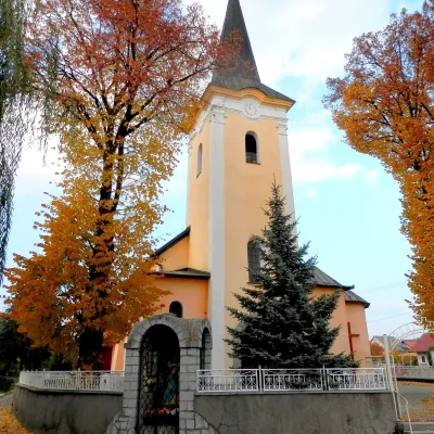 Terňa2 trails, 1 mountain hut or shelter
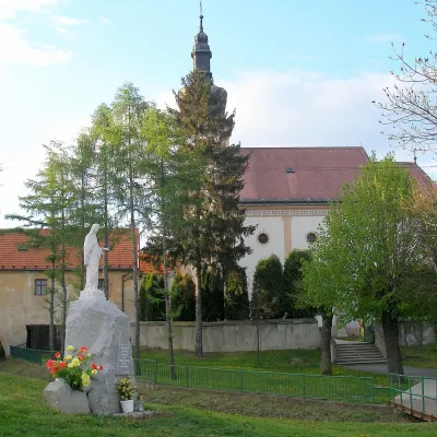 Fintice2 trails
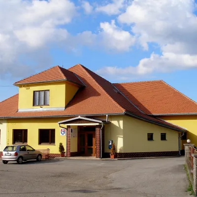 Podhradík2 trails
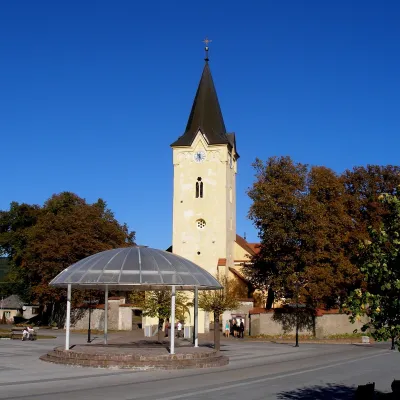 Veľký Šariš1 sight
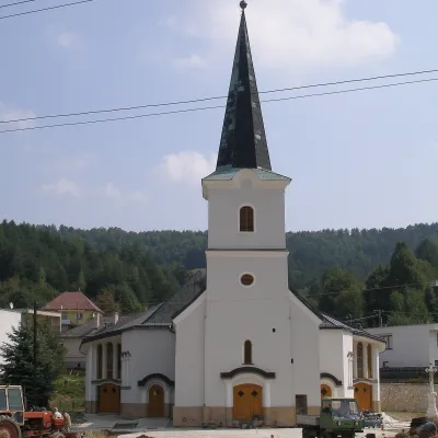 Široké1 trail
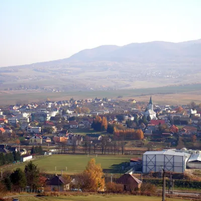 Kapušany1 trail
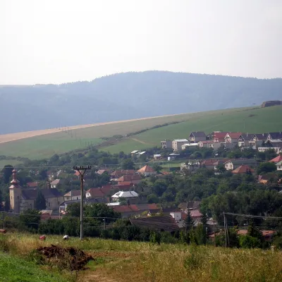 Hermanovce1 trail
 Ruská Nová Ves1 trail
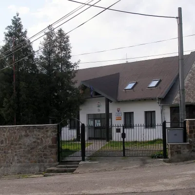 Červenica1 trail
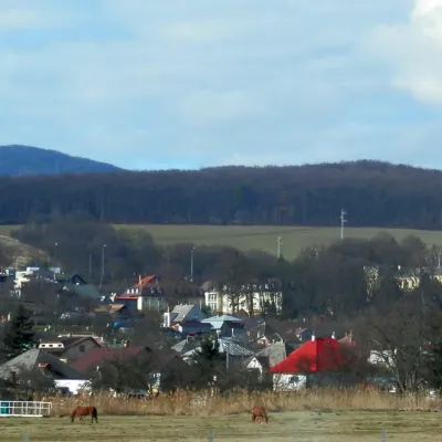 Ličartovce1 trail
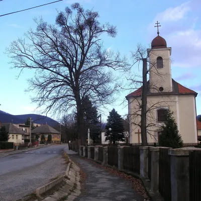 Kokošovce1 trail
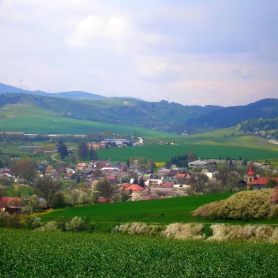 Sedlice1 trail
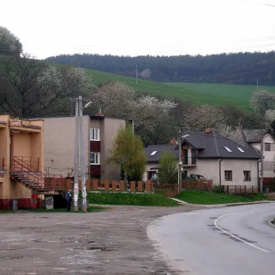 Drienovská Nová Ves1 trail
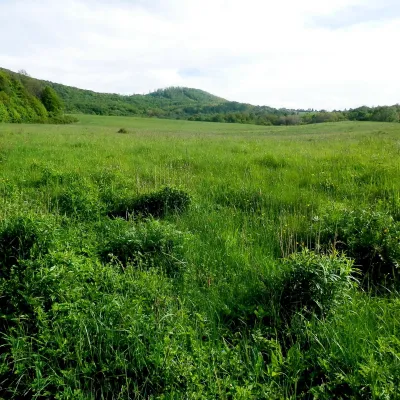 Abranovce1 trail
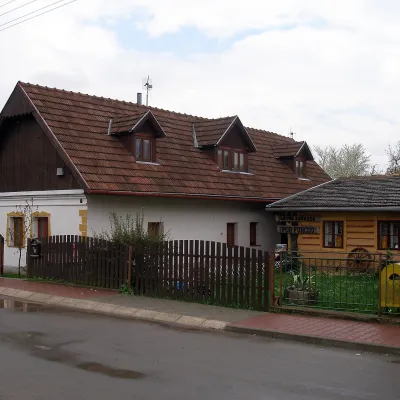 Haniska1 trail
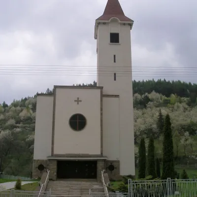 Šindliar1 trail
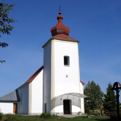 Ľubovec1 trail
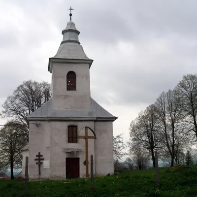 Geraltov1 trail
Getting there from Ukraine
Border crossings
- Uzhhorod – Vyšné Nemecké — road, 24/7
- Malyi Bereznyi – Ubľa — road, 24/7 For cars and buses; pedestrians not confirmed by the Ukrainian border service, lorries up to 3.5 t.
- Mali Selmentsi – Veľké Slemence (pedestrian) — pedestrian, 09:00–21:00 Kyiv time Pedestrians and cyclists only; inconvenient for the Tatras without onward transport.
- Chop – Čierna nad Tisou (rail) — rail, 24/7
By car
From Uzhhorod ≈138 km, ≈2 h 30 min without queues: Uzhhorod – Vyšné Nemecké → I/19 to Michalovce → I/18 via Vranov nad Topľou towards Prešov → I/545 to Bardejov (≈133 km, ≈2 h 20 min from the border). From Lviv it is faster through Poland: M-10 → Krakovets – Korczowa → A4 to Dębica → DK73 to Jasło → DK28 to Gorlice → DW977 over the internal Schengen crossing Konieczna – Becherov → I/545 to Bardejov: ≈329 km, ≈5 h 10 min (≈251 km, ≈3 h 40 min from the border). Via the Uzhok Pass and Ubľa ≈345 km, ≈6 h 20 min.
Checked 23.10.2026; border crossing hours and timetables change — check before you travel.
