Lipovce
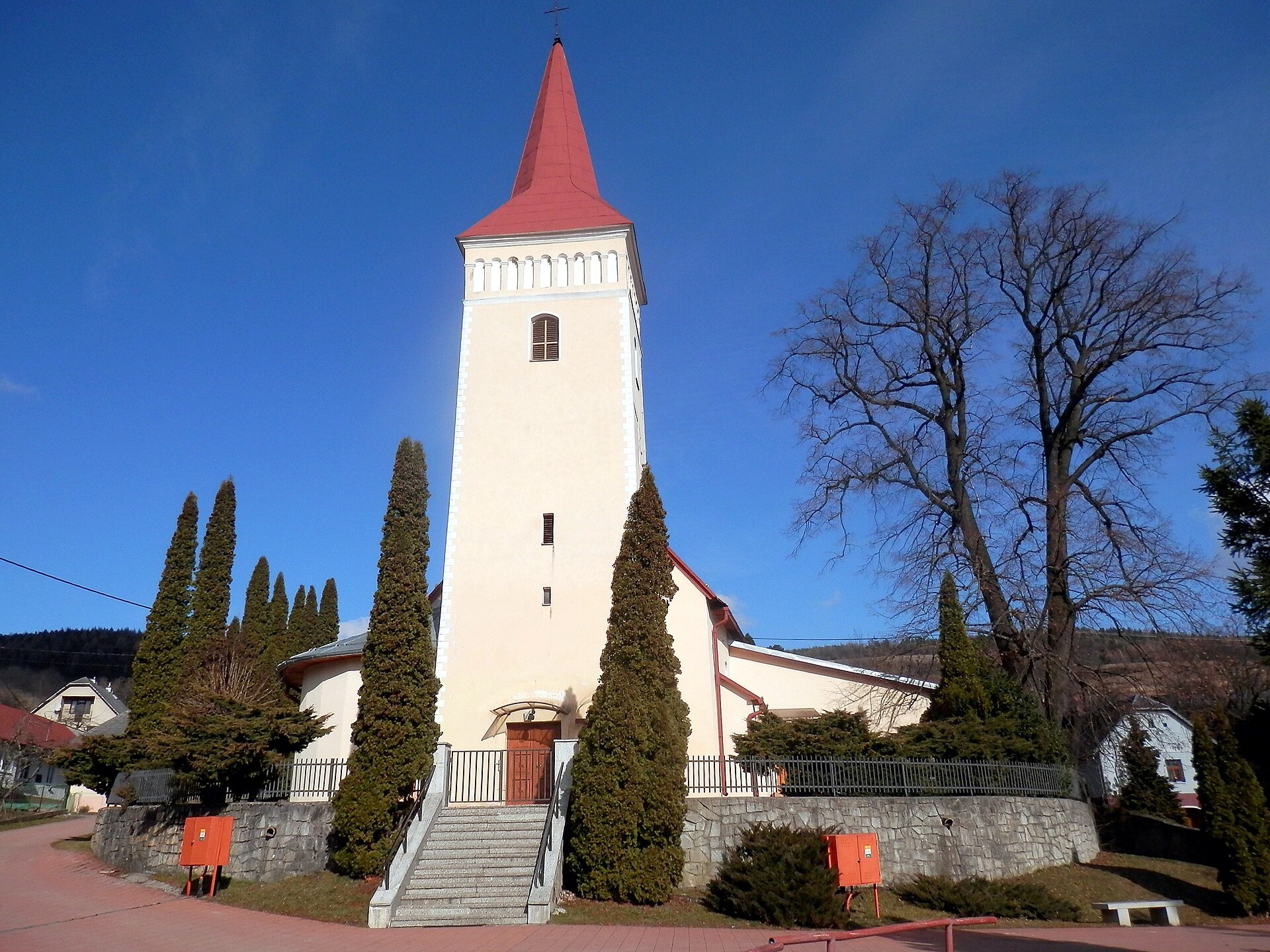
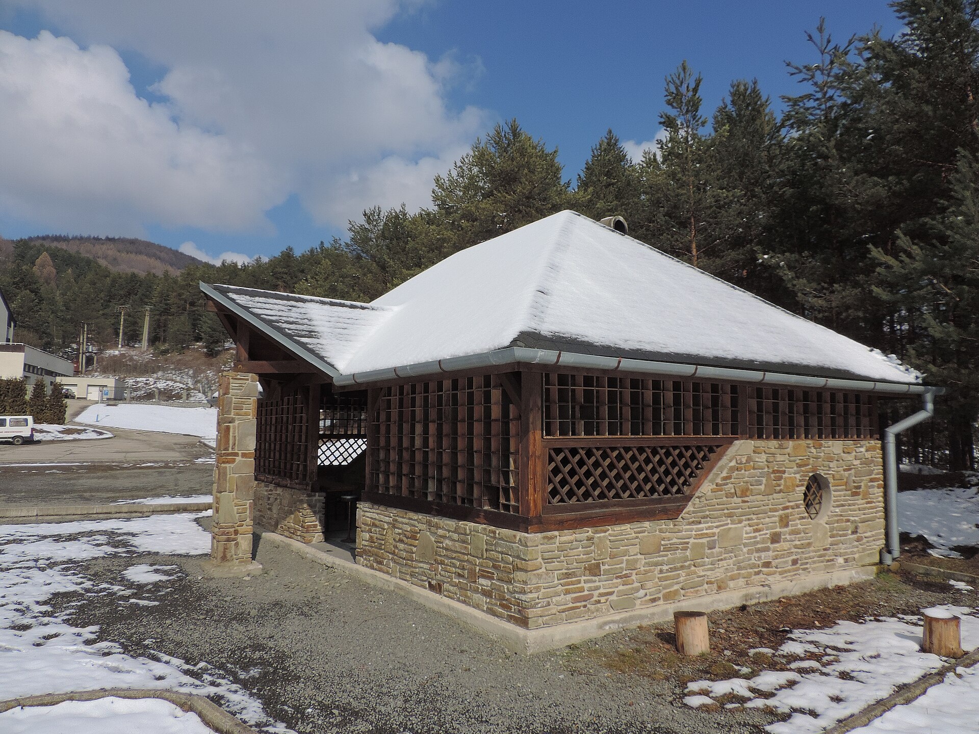
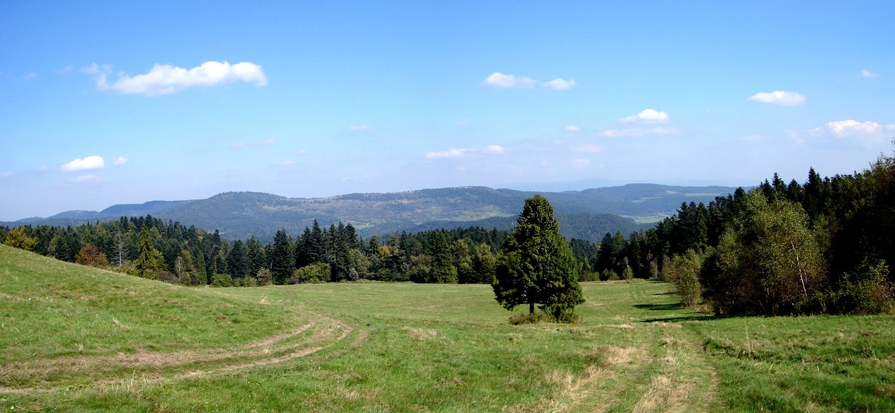
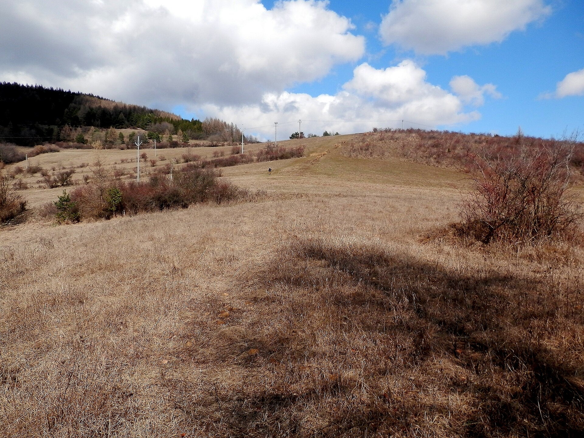
Photos: Ing.Mgr.Jozef Kotulič, CC BY-SA 4.0 (Wikimedia Commons); Jan Starec, CC BY-SA 3.0 (Wikimedia Commons); Jan Starec, CC BY-SA 3.0 (Wikimedia Commons); Dusan Bajus, CC BY 3.0 (Wikimedia Commons); Ing.Mgr.Jozef Kotulič, CC BY-SA 4.0 (Wikimedia Commons); Jozef Kotulič, CC BY 3.0 (Wikimedia Commons)
Lipovce is a village located in the Prešov District of the Prešov Region, Slovakia. It lies in the northern part of eastern Slovakia, on the border of the Šariš Highlands and Branisko, in the valley of the Lipovec stream. The area is surrounded by the slopes of the Spiš Magura and forested hills, with the nearby settlement of Lačnov now part of Lipovce.
The first written mention of Lipovce dates back to 1320, while Lačnov was first recorded in 1389. In Lačnov, oral tradition speaks of stone remains of a church from around the 10th century, discovered during the construction of the current church.
Lipovce is known for its cultural landmarks. The village features the Roman Catholic Church of St. George, originally built in the Gothic style and rebuilt in the Renaissance style in 1663. In Lačnov, the Greek Catholic Church of St. Michael the Archangel was built in 1907. The cadastral area of Lipovce contains the Salvator mineral water spring, well known in eastern Slovakia.
Visitors can explore numerous hiking trails, such as "Sabinov – Branisko Pass," "Lačnov Canyon – Kopitovská Valley, crossroads," and "Vyšný Slavkov – Lipovce, school." Mountain enthusiasts can ascend the peak Smrekovica (Branisko). Besides natural attractions, you can visit historical churches and relax at the Salvator spring.
Getting there from Ukraine
From Uzhhorod ≈182 km, ≈2 h 45 min without queues: Uzhhorod – Vyšné Nemecké → I/19 via Sobrance and Michalovce to Košice → D1 motorway via Prešov to the exit near Levoča → road 533 to Spišská Nová Ves (≈177 km, ≈2 h 30 min from the border). From Lviv via Uzhok and Ubľa ≈407 km, ≈6 h 40 min; through Poland (Kraków – Nowy Targ) ≈496 km, ≈6 h 20 min. The D1 requires an e-vignette (eznamka.sk).
Sources: Wikipedia, Wikidata, OpenStreetMap, Karpaty.rocks data. More on Wikipedia
What's nearby
Trails nearby
All trails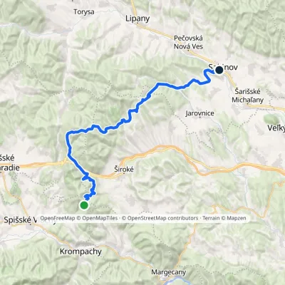 HardMulti-dayMarkedSabinov Branisko PassElevation profile320–1 098 m39.3 kmascent 1 046 m≈ 12 h walkingunder 1 km from the centre
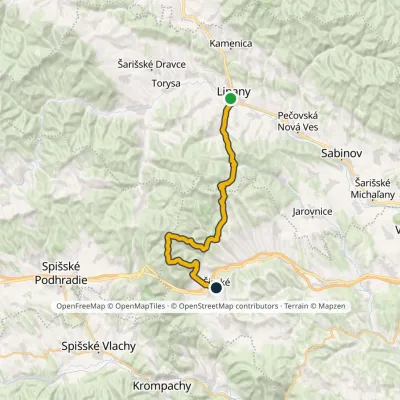 HardMulti-dayMarkedLipany ŠirokéElevation profile379–1 171 m31 kmascent 1 337 m≈ 10.5 h walkingunder 1 km from the centre
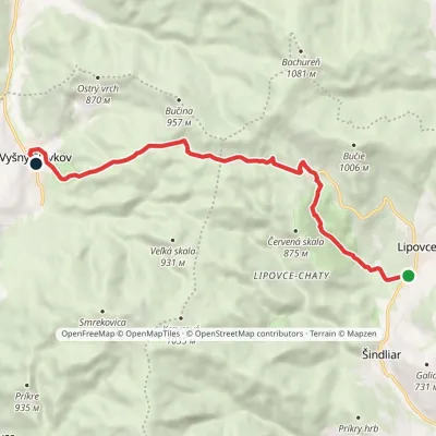 EasyOne-dayMarkedVyšný Slavkov Lipovce, SchoolElevation profile536–861 m10.3 kmascent 333 m≈ 3 h walkingunder 1 km from the centre
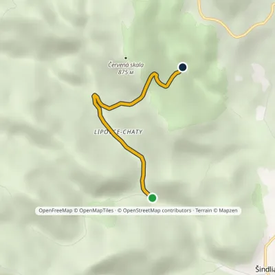 EasyOne-dayMarkedLačnovský Canyon Kopytovská Valley, junctionElevation profile566–799 m2.9 kmascent 233 m≈ 1 h walking1.7 km from the centre
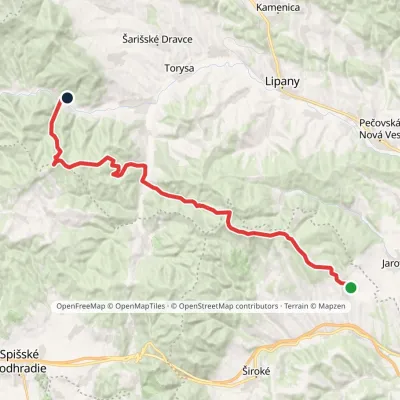 HardMulti-dayMarkedTichý Potok HermanovceElevation profile462–1 024 m29.5 kmascent 1 132 m≈ 9.5 h walking2 km from the centre
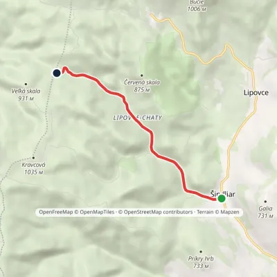 EasyOne-dayMarkedŠindliar, Sultan spring Sedlo ZákrutElevation profile496–778 m4.8 kmascent 281 m≈ 2 h walking2.1 km from the centre
Peaks nearby
All peaks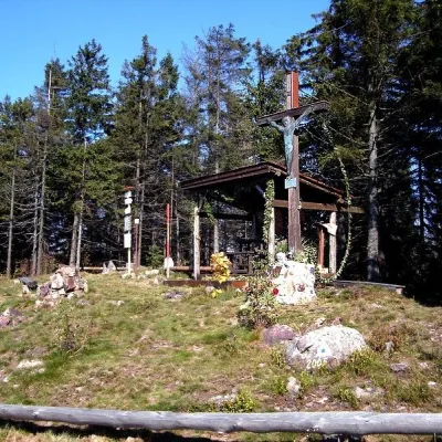 PeakSmrekovica (Branisko)Vyšný Slavkovaltitude 1 200 m6 km from the centreSmrekovica is the highest peak of the Branisko Mountains in eastern Slovakia, 1200 m high (1199.9 m to be exact).
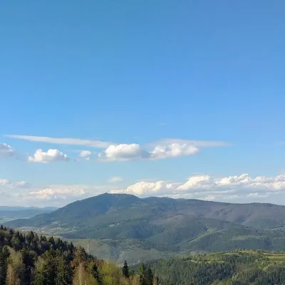 PeakSľubicaSlatvinaaltitude 1 129 m11 km from the centreSľubica is a 1129 m summit in the Branisko mountains of eastern Slovakia, the third highest of the range and the highest in its southern part, which bears the same name.
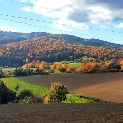 PeakRoháčkaMargecanyaltitude 1 028 m15 km from the centreRoháčka is the highest summit of the Čierna hora hills, one of the units of the Slovak Ore Mountains in eastern Slovakia.
What to visit
All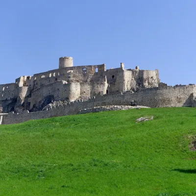 CastleSpiš CastleŽehra15 km from the centreA castle visible for dozens of kilometres Spiš Castle (Spišský hrad) is the ruin of a vast castle on top of a 634 m travertine rock that rises 200 m above the Spiš basin.
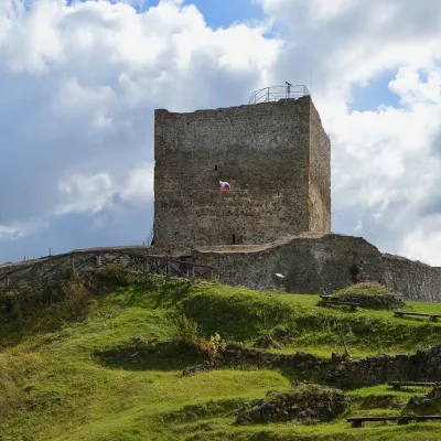 CastleŠariš Castle near PrešovVeľký Šariš16 km from the centreŠariš Castle (Šarišský hrad) is one of the largest medieval fortresses in Slovakia: its built-up area exceeds 2.7 ha.
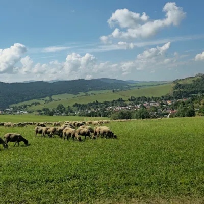 Cheese dairies & pasturesFarma Kamenica — Family Sheep Farm and Cheese Dairy in ŠarišKamenica16 km from the centreKamenica is a village in northern Šariš, in the valley of the Kameničanka stream, at about 483 m above sea level.
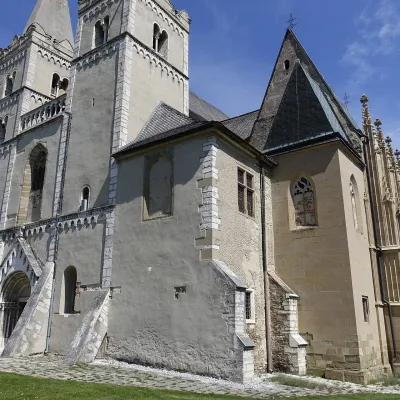 ChurchSpišská Kapitula and St Martin’s CathedralSpišská Kapitula17 km from the centreSpišská Kapitula is an ancient church town on St Martin’s Hill, directly opposite Spiš Castle. It is often called the ‘Slovak Vatican’.
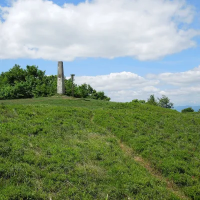 Mountain meadowThe meadow of Čergov's Minčol, the highest peak of the Čergov mountainsKyjovaltitude 1 157 m20 km from the centreČergov's Minčol (Minčol, 1,157 m) is the highest summit of the Čergov mountains in eastern Slovakia, where the districts of Bardejov, Sabinov and Stará Ľubovňa of the...
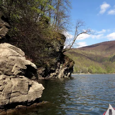 LakeRužín reservoir on the HornádMalá Lodina24 km from the centreRužín is a reservoir on the Hornád river in the deep, winding valley of the Čierna hora hills, the north-eastern part of the Slovak Ore Mountains, a dozen or so...
Craft nearby
All craft places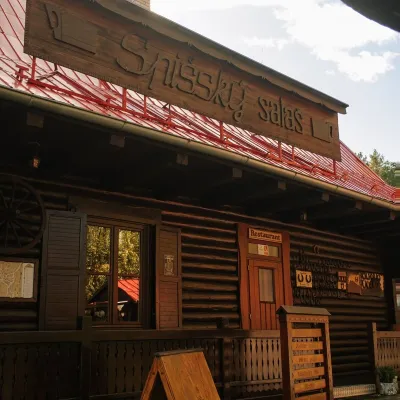
Huts, shelters and springs nearby
Getting there from Ukraine
Border crossings
- Uzhhorod – Vyšné Nemecké — road, 24/7
- Malyi Bereznyi – Ubľa — road, 24/7 For cars and buses; pedestrians not confirmed by the Ukrainian border service, lorries up to 3.5 t.
- Mali Selmentsi – Veľké Slemence (pedestrian) — pedestrian, 09:00–21:00 Kyiv time Pedestrians and cyclists only; inconvenient for the Tatras without onward transport.
- Chop – Čierna nad Tisou (rail) — rail, 24/7
By car
From Uzhhorod ≈182 km, ≈2 h 45 min without queues: Uzhhorod – Vyšné Nemecké → I/19 via Sobrance and Michalovce to Košice → D1 motorway via Prešov to the exit near Levoča → road 533 to Spišská Nová Ves (≈177 km, ≈2 h 30 min from the border). From Lviv via Uzhok and Ubľa ≈407 km, ≈6 h 40 min; through Poland (Kraków – Nowy Targ) ≈496 km, ≈6 h 20 min. The D1 requires an e-vignette (eznamka.sk).
Checked 23.10.2026; border crossing hours and timetables change — check before you travel.
