Veľký Šariš
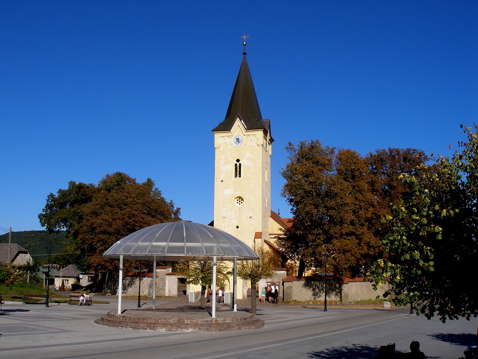
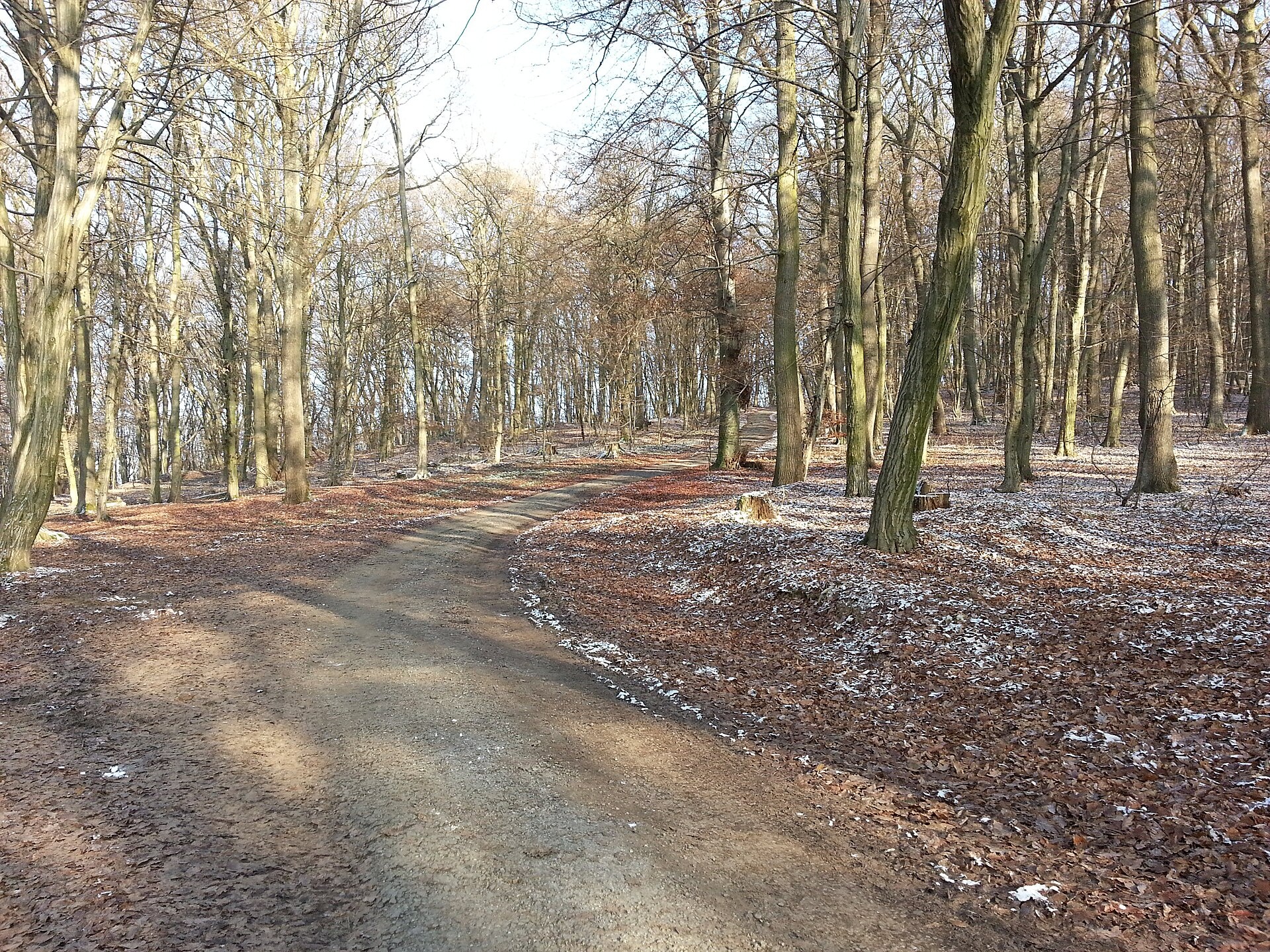

Photos: Ing.Mgr.Jozef Kotulič, CC BY-SA 3.0 (Wikimedia Commons); Peter Bútora, CC BY-SA 3.0 (Wikimedia Commons); Tom S, CC BY 3.0 (Wikimedia Commons)
Veľký Šariš is a town in Slovakia.
Elevation: about 269 m above sea level. Population: 7,035 (2025). Mountains nearby: Eastern Carpathians.
Here and nearby on the site: 1 sight.
Facts: Wikidata, OpenStreetMap. More on Wikipedia
Trails nearby
All trails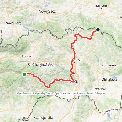 HardMulti-dayMarkedPred Čuntavou Dukliansky PassElevation profile227–1 293 m280.7 kmascent 8 346 munder 1 km from the centre
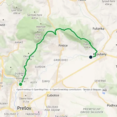 ModerateOne-dayMarkedPrešov, Veterinary Hospital Kapušany, stationElevation profile258–509 m13.2 kmascent 399 m≈ 4 h walking3.1 km from the centre
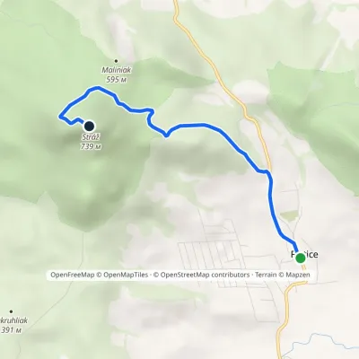 EasyOne-dayMarkedFintice StrážElevation profile267–739 m4.3 kmascent 472 m≈ 2 h walking4.8 km from the centre
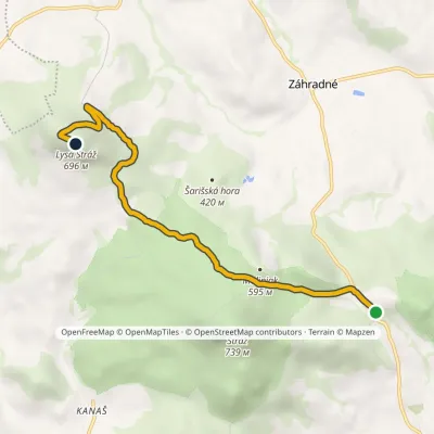 EasyOne-dayMarkedFintice, quarry Zimná studňaElevation profile406–696 m6.2 kmascent 431 m≈ 2.5 h walking5 km from the centre
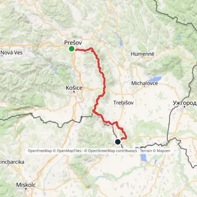 HardMulti-dayMarkedPrešov, Za kalváriou Slovenské Nové MestoElevation profile102–1 077 m135.8 kmascent 3 494 m6.4 km from the centre
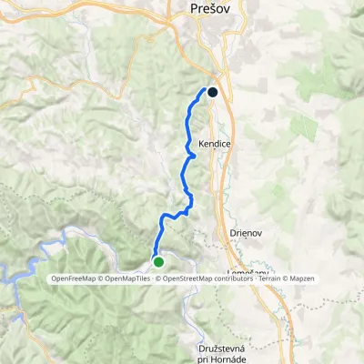 ModerateOne-dayMarkedHaniska pri Prešove Brezie, youth campElevation profile231–472 m15.9 kmascent 438 m≈ 5 h walking9.4 km from the centre
Peaks nearby
All peaks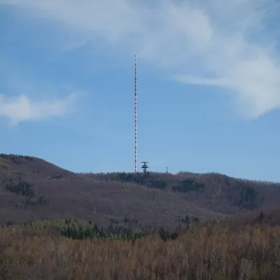 PeakDubníkZlatá Baňaaltitude 874 m23 km from the centreDubník is a forested 874 m hill in the northern half of the Slanské vrchy in eastern Slovakia, in the Šimonka subunit.
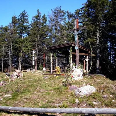 PeakSmrekovica (Branisko)Vyšný Slavkovaltitude 1 200 m24 km from the centreSmrekovica is the highest peak of the Branisko Mountains in eastern Slovakia, 1200 m high (1199.9 m to be exact).
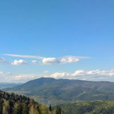 PeakSľubicaSlatvinaaltitude 1 129 m25 km from the centreSľubica is a 1129 m summit in the Branisko mountains of eastern Slovakia, the third highest of the range and the highest in its southern part, which bears the same name.
What to visit
All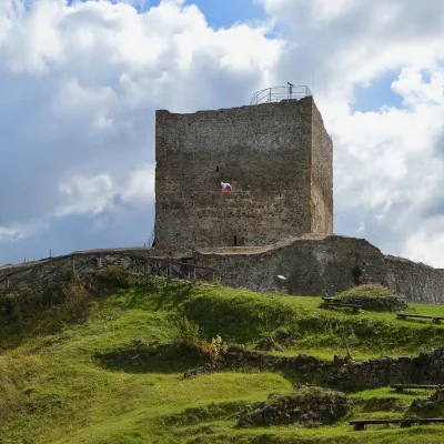 CastleŠariš Castle near PrešovVeľký Šariš2 km from the centreŠariš Castle (Šarišský hrad) is one of the largest medieval fortresses in Slovakia: its built-up area exceeds 2.7 ha.
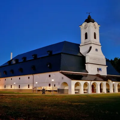 MuseumSolivar Museum, Prešov — historic salt worksPrešov8.9 km from the centreThe Solivar Museum (STM – Múzeum Solivar v Prešove) is a branch of the Slovak Technical Museum in Košice, housed in the historic salt works on the south-eastern edge...
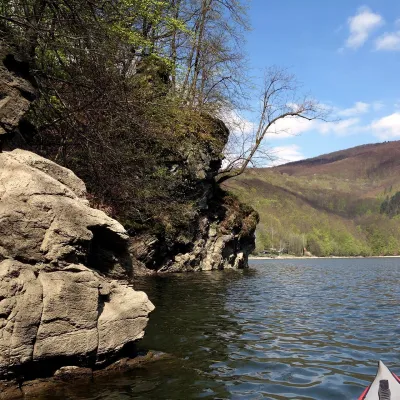 LakeRužín reservoir on the HornádMalá Lodina22 km from the centreRužín is a reservoir on the Hornád river in the deep, winding valley of the Čierna hora hills, the north-eastern part of the Slovak Ore Mountains, a dozen or so...
Craft nearby
All craft places
Huts, shelters and springs nearby
Getting there from Ukraine
Border crossings
- Uzhhorod – Vyšné Nemecké — road, 24/7
- Malyi Bereznyi – Ubľa — road, 24/7 For cars and buses; pedestrians not confirmed by the Ukrainian border service, lorries up to 3.5 t.
- Mali Selmentsi – Veľké Slemence (pedestrian) — pedestrian, 09:00–21:00 Kyiv time Pedestrians and cyclists only; inconvenient for the Tatras without onward transport.
- Chop – Čierna nad Tisou (rail) — rail, 24/7
By car
From Uzhhorod ≈138 km, ≈2 h 30 min without queues: Uzhhorod – Vyšné Nemecké → I/19 to Michalovce → I/18 via Vranov nad Topľou towards Prešov → I/545 to Bardejov (≈133 km, ≈2 h 20 min from the border). From Lviv it is faster through Poland: M-10 → Krakovets – Korczowa → A4 to Dębica → DK73 to Jasło → DK28 to Gorlice → DW977 over the internal Schengen crossing Konieczna – Becherov → I/545 to Bardejov: ≈329 km, ≈5 h 10 min (≈251 km, ≈3 h 40 min from the border). Via the Uzhok Pass and Ubľa ≈345 km, ≈6 h 20 min.
Checked 23.10.2026; border crossing hours and timetables change — check before you travel.
