Prešov, Za kalváriou – Slovenské Nové Mesto
Trail map
Route, springs and shelters: © OpenStreetMap contributors (ODbL) · elevation: Copernicus DEM © DLR e.V., © Airbus DS · Data & licences
About the trail
Route Prešov, Za kalváriou – Slovenské Nové Mesto. Has red marking (national route №0915, KST). Waymarking data: OpenStreetMap (© OpenStreetMap contributors, ODbL).
Officially marked national tourist route No. 0915. Marking is red, sign — horizontal stripe on a white background. Marked and maintained by: KST. Length of the route — 135.8 km. Location: mountain range — Zemplín, Slovakia.
At a glance
A multi-day route of 135.8 km with 3,494 m of ascent from Prešov, Za kalváriou to Slovenské Nové Mesto. Estimated time: 6 days of 5–8 h of walking (about 40 h in total, not counting stops). Difficulty: hard. Waymarking: red.
Route stages
- 0–86 kmGentle ups and downs at 230–1,080 m, past Nad Remetovou, Tri chotáre, Lysá, Menší vrch
- 86–92 kmDescent of 500 m (down to 270 m)
- 92–136 kmGentle ups and downs at 100–460 m, past Plochá hora, Medový vrch, Brezina, Brezinka
Steepest kilometre: km 10–11, a climb of 180 m (≈18%).
Water and overnight stays
Springs near the trail: at km 0, 6, 10, 11, 13, 14, 16, 18, 19 and 26 etc.. There are no springs between km 108 and 136 — carry at least 4 l of water. Some springs run low or dry up in late summer.
Huts and shelters near the trail: Hut below Lysá (north-west slope) (km 18), Hut below Hradisko - južný predvrchol (km 74).
A possible split into days:
- Day 1: km 0–18, ≈6 h — overnight: Hut below Lysá (north-west slope) (hut)
- Day 2: km 18–42, ≈7.5 h — overnight: no shelter nearby on the map, bring a tent
- Day 3: km 42–65, ≈6.5 h — overnight: no shelter nearby on the map, bring a tent
- Day 4: km 65–88, ≈6.5 h — overnight: no shelter nearby on the map, bring a tent
- Day 5: km 88–112, ≈6.5 h — overnight: no shelter nearby on the map, bring a tent
- Day 6: km 112–136, ≈6.5 h — finish
When to go
Best time: May to October. In winter deep snow is possible, so experience and winter gear are needed.
Getting there
Start: Prešov, Za kalváriou. This is a one-way route: the finish is 73 km from the start in a straight line, so plan your way back in advance.
FAQ
- How long does the route take?
- Estimated time: 6 days of 5–8 h of walking (about 40 h in total, not counting stops).
- Is there water on the route?
- Springs near the trail: at km 0, 6, 10, 11, 13, 14, 16, 18, 19 and 26 etc.. There are no springs between km 108 and 136 — carry at least 4 l of water. Some springs run low or dry up in late summer.
- Where can I stay overnight?
- Huts and shelters near the trail: Hut below Lysá (north-west slope) (km 18), Hut below Hradisko - južný predvrchol (km 74). Possible overnight stops: Hut below Lysá (north-west slope) (km 18).
Water and shelter on the route
- Spring (Prešov)km 0 from the start · 220 m off the path · Not verified · 271 m
- Spring below Debry (north slope), 290 mkm 5.5 from the start · 250 m off the path · Not verified · 290 m
- Spring (Ruská Nová Ves)km 9.5 from the start · Not verified · 474 m
- Spring below Nad Remetovou (west slope), 584 mkm 10.4 from the start · Not verified · 584 m
- Spring below Nad Remetovou (west slope), 859 mkm 12.6 from the start · Not verified · 859 m
- Spring below Nad Remetovou (east slope)km 14.2 from the start · 240 m off the path · Not verified · 794 m
- Spring below Krivý javor (south slope)km 15 from the start · Not verified · 878 m
- Spring below Krivý javor (east slope)km 15.9 from the start · 110 m off the path · Not verified · 961 m
- Malá Delňa Springkm 18 from the start · 210 m off the path · Not verified · 824 m
- Hut below Lysá (north-west slope)km 18.1 from the start · 260 m off the path · Not verified · 815 m
- Spring under Lysákm 19.4 from the start · Not verified · 915 m
- Spring below Šimonka (south-west slope), 898 mkm 26 from the start · 250 m off the path · Not verified · 898 m
- Spring below Šimonka (south slope), 938 mkm 26.7 from the start · 150 m off the path · Not verified · 938 m
- Spring below Menší vrchkm 37.9 from the start · Not verified · 915 m
- Spring under Menší vrchkm 38.4 from the start · 110 m off the path · Not verified · 923 m
- Spring below Čeršlina Horakm 43.2 from the start · Not verified · 842 m
- Poľana, 585 mkm 59.1 from the start · Not verified · 585 m
- Spring (Slančík)km 67.3 from the start · Not verified · 426 m
- Hut below Hradisko - južný predvrcholkm 74.2 from the start · 150 m off the path · Not verified · 475 m
- Jóni wellkm 75.5 from the start · Not verified · 424 m
- Márovka Springkm 80.9 from the start · 110 m off the path · Not verified · 669 m
- Spring below Suchá hora (north-east slope)km 83.1 from the start · 100 m off the path · Not verified · 641 m
- Spring below Nagy-Milic / Veľký Miličkm 85.1 from the start · Not verified · 728 m
- Well Kúpeľná studňakm 98.5 from the start · 40 m off the path · Not verified · 214 m
- Kúpeľný Wellkm 108.1 from the start · 200 m off the path · Not verified · 170 m
Comments
Trails nearby
All trails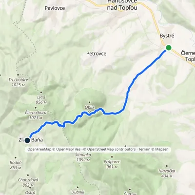 ModerateOne-dayMarkedZlatá Baňa BystréElevation profile184–909 m13.8 kmascent 730 m≈ 5 h walking
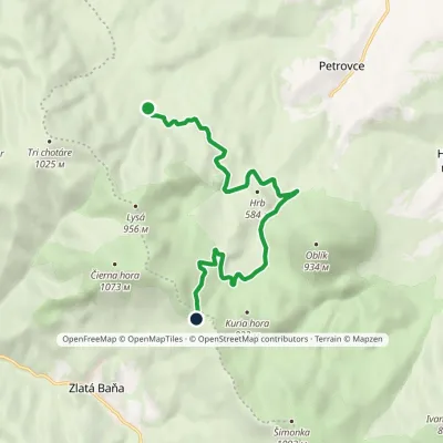 ModerateOne-dayMarkedZlatá studňa Pod HrbomElevation profile464–864 m9.7 kmascent 442 m≈ 3.5 h walking
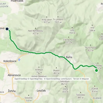 EasyOne-dayMarkedRuská Nová Ves Hermanovce nad TopľouElevation profile471–963 m12.7 kmascent 86 m≈ 3.5 h walking
Craft nearby
All craft places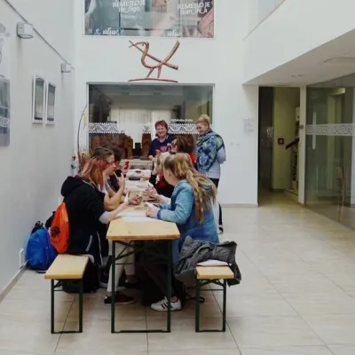 Crafts & workshopsÚĽUV Craft Centre Košice: craft workshops and folk-art shop29 km from the trailÚĽUV (Ústredie ľudovej umeleckej výroby, the Centre for Folk Art Production) is a state institution that has looked after Slovak folk crafts since 1945: it keeps a...
 Crafts & workshopsMacák Pottery on Košice’s Craft Lane: ceramics and courses29 km from the trailHrnčiarska Street in Košice old town is known as the "Craft Lane" (Ulička remesiel): craftspeople work in small houses below the walls of the former town fortifications.
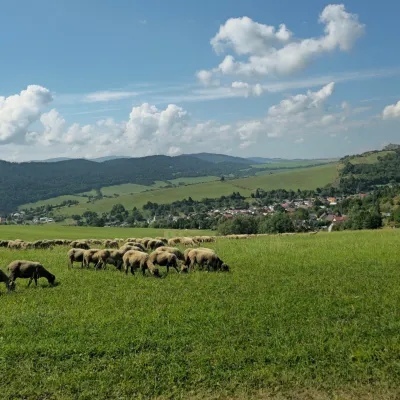 Cheese dairies & pasturesFarma Kamenica — Family Sheep Farm and Cheese Dairy in Šariš31 km from the trailKamenica is a village in northern Šariš, in the valley of the Kameničanka stream, at about 483 m above sea level.
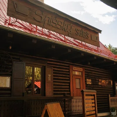 Koliby & Hutsul cuisineSpišský salaš below Spiš Castle: Spiš cooking since 196436 km from the trailBetween Spiš Castle and Spišská Kapitula, at the edge of the plain below the travertine mound of Sivá brada, stands the wooden Spišský salaš.
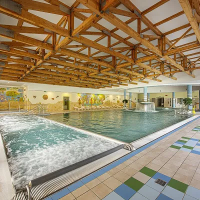 Water parks & thermal poolsBardejovské Kúpele: Wellness Spa Ozón and summer pool38 km from the trailBardejovské Kúpele is one of Slovakia’s oldest spas, a part of the town of Bardejov about 5 km from its centre, in a valley under the Magura massif that shelters it...
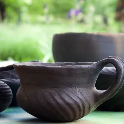 Crafts & workshopsHáj Pottery: wheel-thrown ceramics and wood-fired kilns in Háj48 km from the trailAt the back of an old farmhouse here is Háj Pottery (Hájske hrnčiarstvo), run by Amália Holíková. She throws utility ware on the wheel and models it by hand, but her...
