Dubník
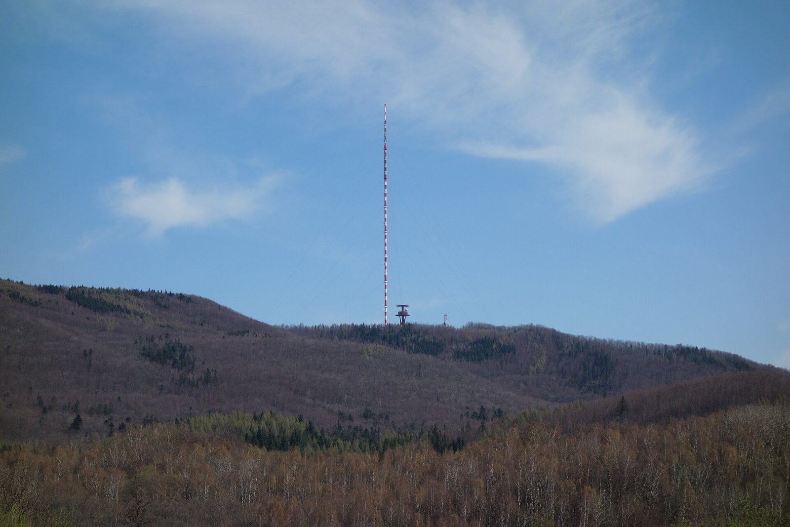
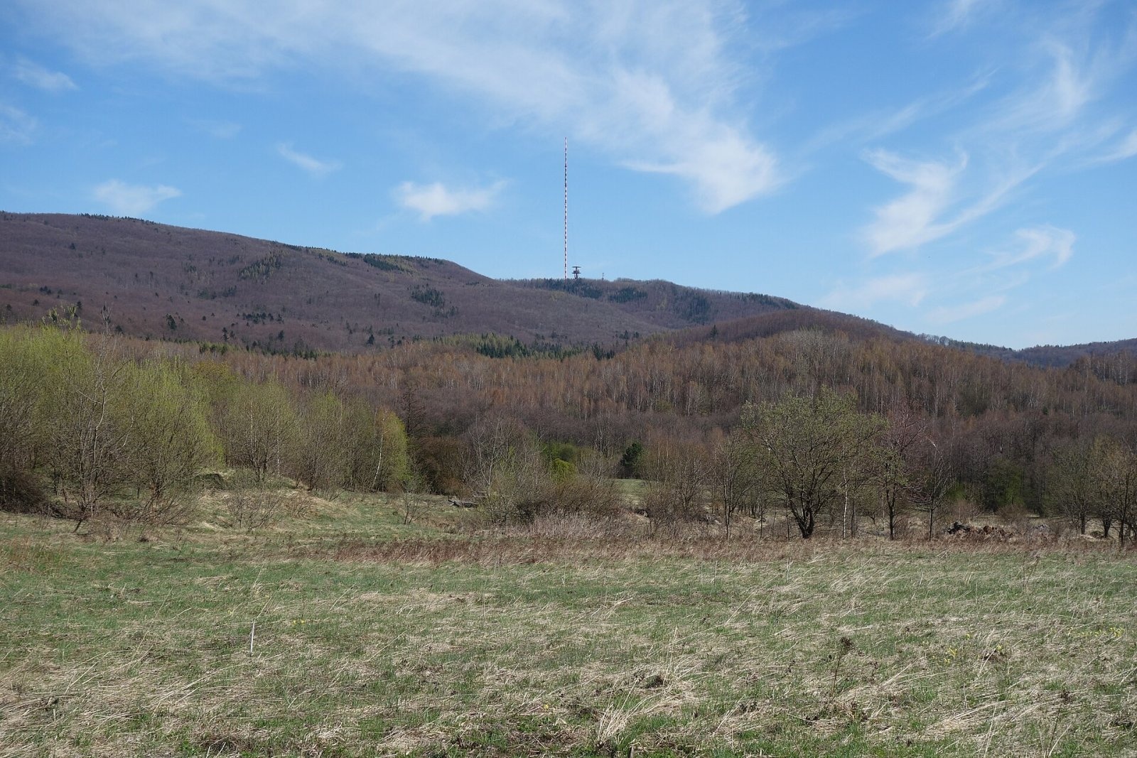
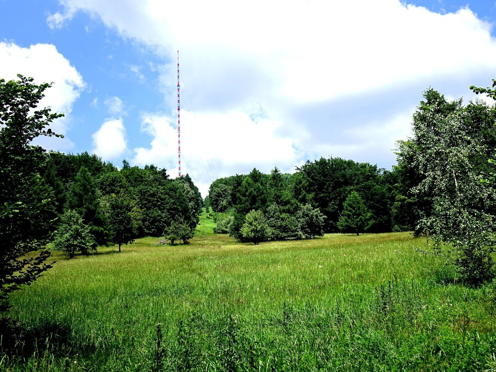
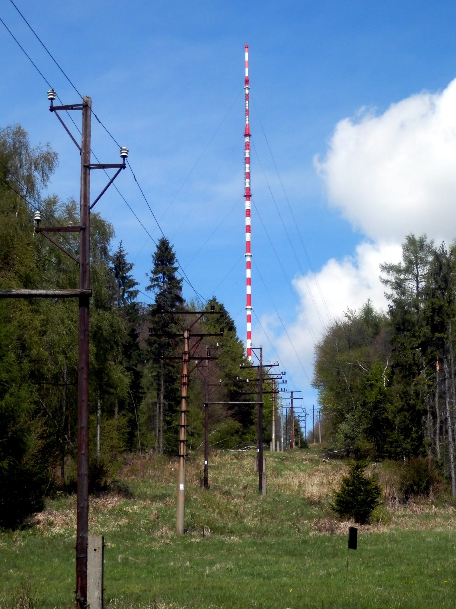
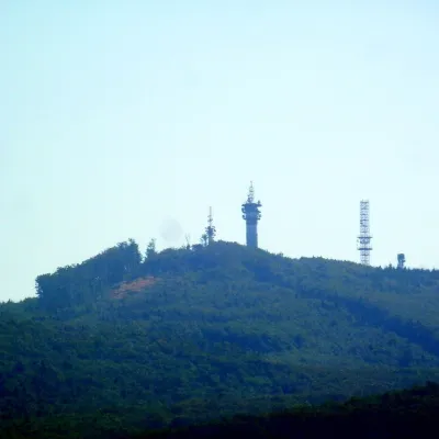
Dubník is a forested 874 m hill in the northern half of the Slanské vrchy in eastern Slovakia, in the Šimonka subunit. It rises above the village of Červenica, about 14 km south-east of Prešov, on the boundary of the Zlatá Baňa and Červenica cadastres. The hill is easy to spot from afar: on its top stands a radio and television transmitter with a 318 m mast — the tallest structure in Slovakia.
Dubník lies in the south-western part of the Šimonka group, south of its highest peak, Šimonka (1,092 m), on a spur running west to Tancoška (845 m). To the north are Tri oltáre (906 m) and Čierna hora (1,073 m), to the east Praporec (961 m), to the south Menší vrch (950 m) and Makovica (981 m). The northern and western slopes drain via the Olšavka brook into the Oľšava river, the southern ones via the Jedľovec brook.
How to get there / routes
There is no marked trail to the summit itself. A red ridge trail from Makovica to Čierna hora passes to the east, and a blue trail from Červenica runs along the south-eastern slope to the Za Dubníkom junction. The easiest access is the asphalt road branching off route III/3440 between Zlatá Baňa and Červenica; roads also lead to the transmitter from Zámutov and from the former settlement of Dubník, now part of Červenica.
What you can see from the top
The top is occupied by the transmitter station and surrounded by continuous forest, so the summit itself has no views. From open spots nearby you can see the neighbouring Slanské vrchy, the Košice Basin, the Volovské vrchy, Čierna hora and the Vihorlat, and in very good weather even the Tatras and Kráľova hoľa.
Nature and history
The Dubník transmitter is a guyed steel mast 318 m tall, the tallest structure in Slovakia, similar in design to the Suchá hora transmitter. It was built in 1961 and went on air on 24 February 1961; a separate free-standing steel telecommunications tower stands next to it. In August 1968 the occupying armies destroyed its broadcasting equipment. Today it is one of the most powerful transmitters in the country: its signal covers most of eastern Slovakia, and since January 2023 it has also broadcast DAB+ digital radio.
South of the summit lies the protected site of the Dubník mines — the famous Dubník opal mines. The 6 ha site was protected in 1964 as an exceptionally important bat hibernaculum: 16 species have been recorded, including the greater and lesser horseshoe bats and the western barbastelle. Dubník opal was known worldwide from the end of the 16th century, and it may already have been mined in Roman times. The largest local opal, the "Harlequin", weighing 594 g, was found in 1775 and is now kept in the Natural History Museum in Vienna. Napoleon's family loved Dubník opals — Empress Joséphine wore the celebrated "Burning of Troy" opal. Until deposits were discovered in Mexico and Australia in the 19th century, the Dubník mines were the only place in the world where precious opal was mined. Mining ended in 1922 as unprofitable, and since 1 July 2015 the underground has been open to visitors through the Jozef adit.
Safety, season and rules
The walk up by road or forest paths is easy and possible all year, but the transmitter compound is fenced — do not go beyond the fence. Remember that there is no marked trail to the summit itself. In winter the road may be snowbound, and in fog it is easy to lose your way in the forest. Slovak Mountain Rescue Service (HZS): 18 300 (+421 18 300); general emergency number 112.
Interesting facts
- The 318 m mast on Dubník is the tallest structure in Slovakia.
- The "Harlequin" opal from the mines below Dubník weighs 594 g and is kept in Vienna.
- Sixteen bat species hibernate in the old mine galleries.
Photos: Milan Bališin, CC BY-SA 4.0; Milan Bališin, CC BY-SA 4.0; Ing. Mgr. Jozef Kotulič, CC BY-SA 4.0; Ing.Mgr.Jozef Kotulič, CC BY-SA 4.0 — Wikimedia Commons.
Getting there from Ukraine
Border crossings
- Uzhhorod – Vyšné Nemecké — road, 24/7
- Malyi Bereznyi – Ubľa — road, 24/7 For cars and buses; pedestrians not confirmed by the Ukrainian border service, lorries up to 3.5 t.
- Mali Selmentsi – Veľké Slemence (pedestrian) — pedestrian, 09:00–21:00 Kyiv time Pedestrians and cyclists only; inconvenient for the Tatras without onward transport.
- Chop – Čierna nad Tisou (rail) — rail, 24/7
By car
From Uzhhorod ≈138 km, ≈2 h 30 min without queues: Uzhhorod – Vyšné Nemecké → I/19 to Michalovce → I/18 via Vranov nad Topľou towards Prešov → I/545 to Bardejov (≈133 km, ≈2 h 20 min from the border). From Lviv it is faster through Poland: M-10 → Krakovets – Korczowa → A4 to Dębica → DK73 to Jasło → DK28 to Gorlice → DW977 over the internal Schengen crossing Konieczna – Becherov → I/545 to Bardejov: ≈329 km, ≈5 h 10 min (≈251 km, ≈3 h 40 min from the border). Via the Uzhok Pass and Ubľa ≈345 km, ≈6 h 20 min.
Checked 23.10.2026; border crossing hours and timetables change — check before you travel.
Location on the map
Water and shelter nearby
- Saint Barbora Spring1.4 km · Not verified · 691 m
- Spring below Šimonka (south slope), 948 m1.6 km · Not verified · 948 m
- Spring below Dubník (south slope)1.6 km · Not verified · 642 m
- Spring below Šimonka (south slope), 938 m1.6 km · Not verified · 938 m
- Spring below Šimonka (south-west slope), 910 m2.1 km · Not verified · 910 m
- Spring below Šimonka (south slope), 1 005 m2.1 km · Not verified · 1 005 m
- Spring below Šimonka (south-west slope), 898 m2.1 km · Not verified · 898 m
- Spring below Práporec (west slope)2.6 km · Not verified · 874 m
- Hut below Čulkov2.8 km · Not verified · 495 m
Comments
Trails nearby
All trails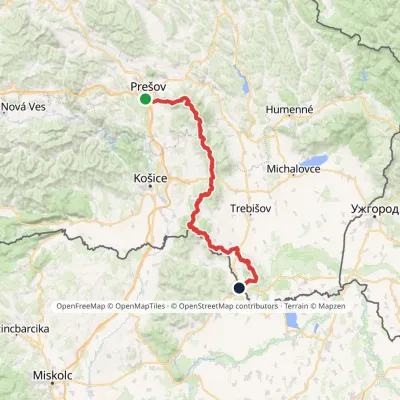 HardMulti-dayMarkedPrešov, Za kalváriou Slovenské Nové MestoElevation profile102–1 077 m135.8 kmascent 3 494 munder 1 km from Dubník
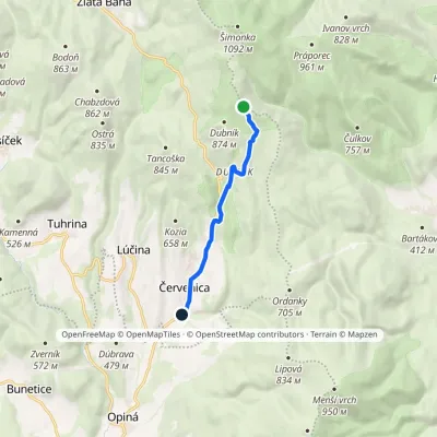 EasyOne-dayMarkedČervenica Za DubníkomElevation profile418–871 m6.8 kmascent 11 m≈ 1.5 h walkingunder 1 km from Dubník
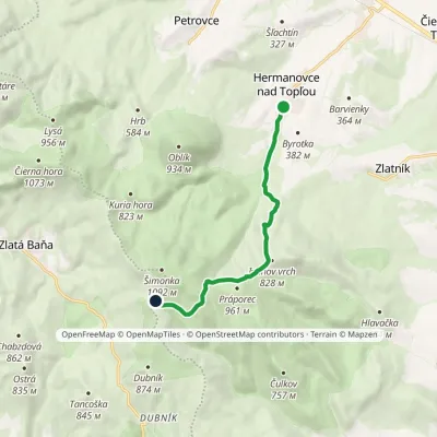 ModerateOne-dayMarkedGrimov Laz Saddle Hermanovce nad TopľouElevation profile293–962 m8.2 kmascent 686 m≈ 3.5 h walking1.6 km from Dubník
Nearby attractions
 PeakMakovicaKecerovský Lipovecaltitude 981 m8.2 km from DubníkMakovica is a 981 m summit in the central part of the Slanské vrchy in eastern Slovakia, in the subunit that bears the same name.
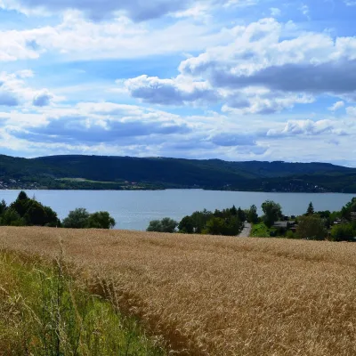 LakeVeľká Domaša reservoirKvakovce20 km from DubníkVeľká Domaša (often just Domaša) is a large reservoir on the Ondava river in the Ondavská vrchovina hills, south of the Low Beskids ridge, in the Prešov Region of...
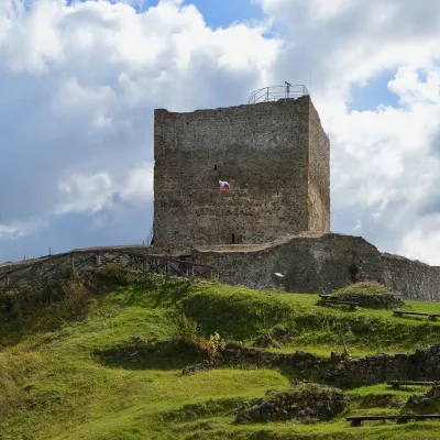 CastleŠariš Castle near PrešovVeľký Šariš25 km from DubníkŠariš Castle (Šarišský hrad) is one of the largest medieval fortresses in Slovakia: its built-up area exceeds 2.7 ha.
Craft nearby
All craft places Crafts & workshopsMacák Pottery on Košice’s Craft Lane: ceramics and coursesHrašovík27 km from DubníkHrnčiarska Street in Košice old town is known as the "Craft Lane" (Ulička remesiel): craftspeople work in small houses below the walls of the former town fortifications.
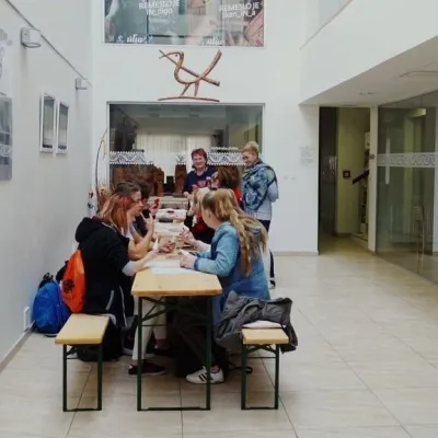 Crafts & workshopsÚĽUV Craft Centre Košice: craft workshops and folk-art shopBaška27 km from DubníkÚĽUV (Ústredie ľudovej umeleckej výroby, the Centre for Folk Art Production) is a state institution that has looked after Slovak folk crafts since 1945: it keeps a...
 Craft beer & breweriesHerrenwald craft brewery, Malá Ida: tour with the brewerMalá Ida34 km from DubníkThe Herrenwald brewery stands in its Panský les ("Lords’ Wood") quarter, from whose German name it takes its own.
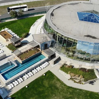 Water parks & thermal poolsThermalpark Šírava in Kaluža, Zemplínska ŠíravaKaluža42 km from DubníkThermalpark Šírava (Thermalpark ŠÍRAVA) stands in the village of Kaluža on the northern shore of the Zemplínska Šírava — a large reservoir in eastern Slovakia.
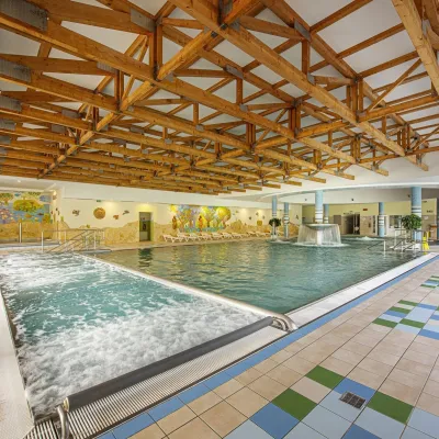 Water parks & thermal poolsBardejovské Kúpele: Wellness Spa Ozón and summer poolBardejov47 km from DubníkBardejovské Kúpele is one of Slovakia’s oldest spas, a part of the town of Bardejov about 5 km from its centre, in a valley under the Magura massif that shelters it...
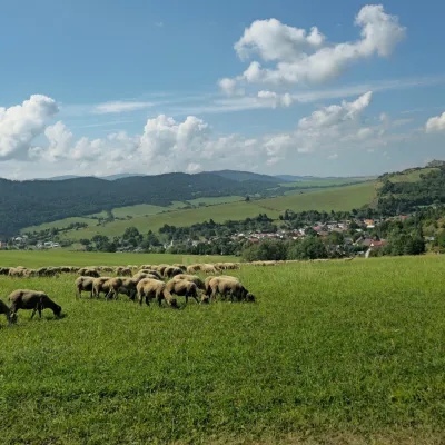 Cheese dairies & pasturesFarma Kamenica — Family Sheep Farm and Cheese Dairy in ŠarišKamenica49 km from DubníkKamenica is a village in northern Šariš, in the valley of the Kameničanka stream, at about 483 m above sea level.
