Makovica
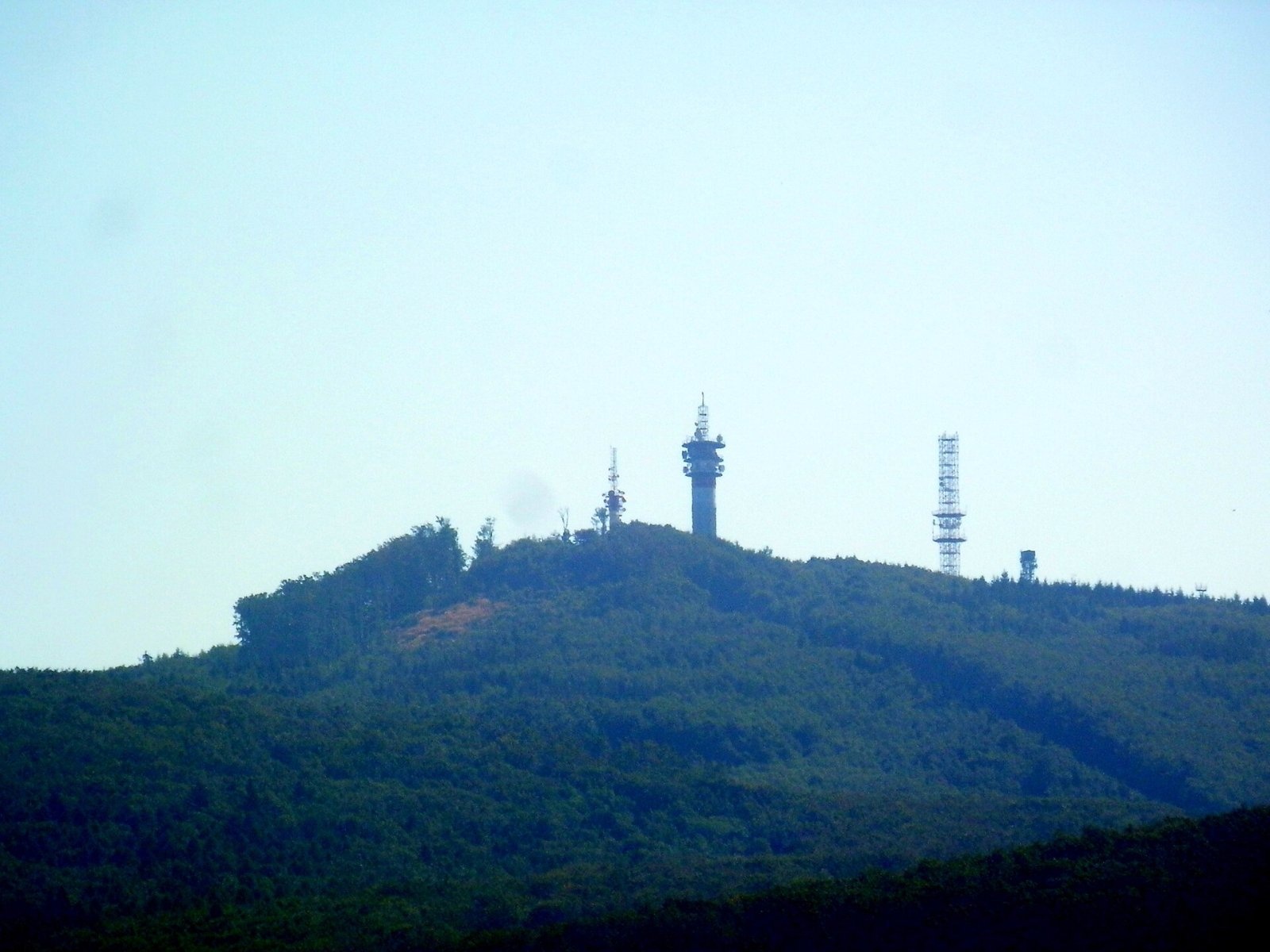
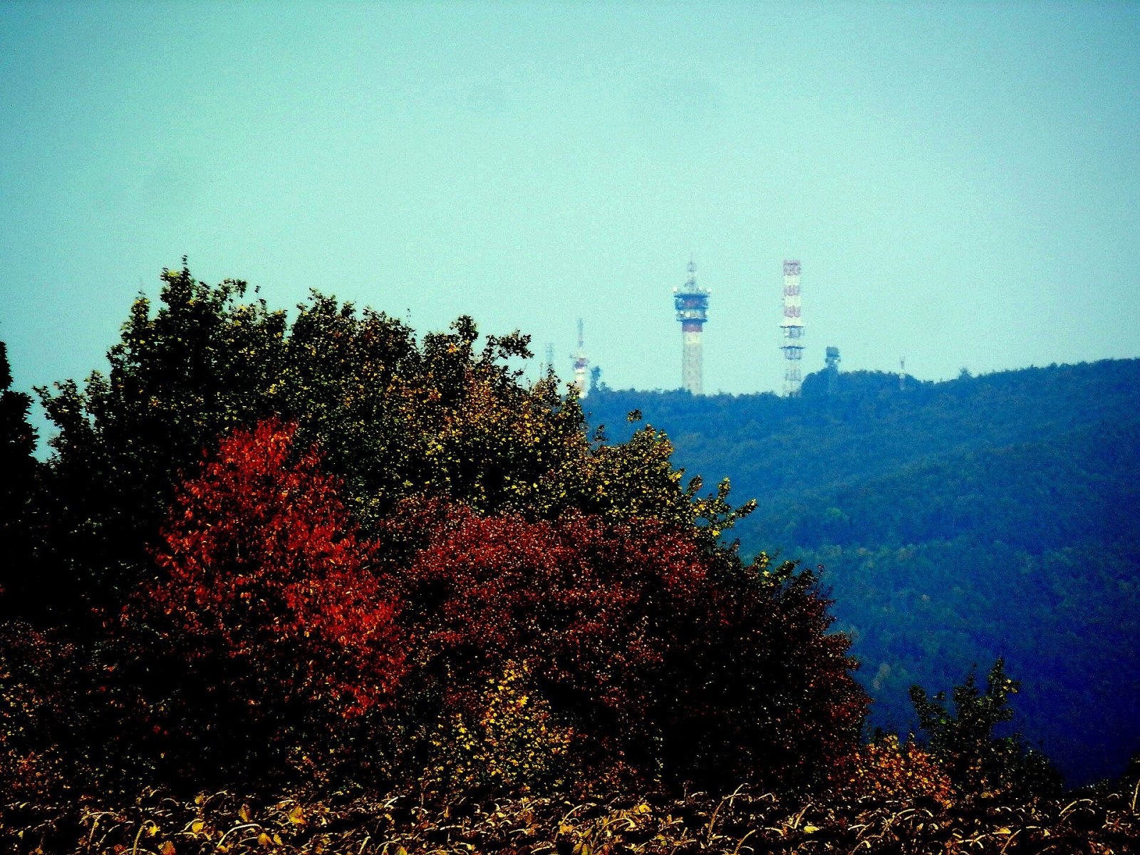
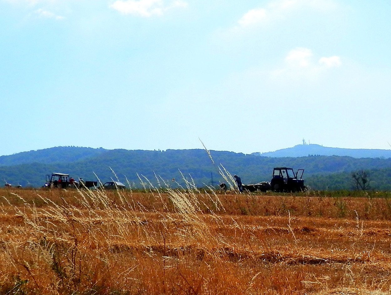
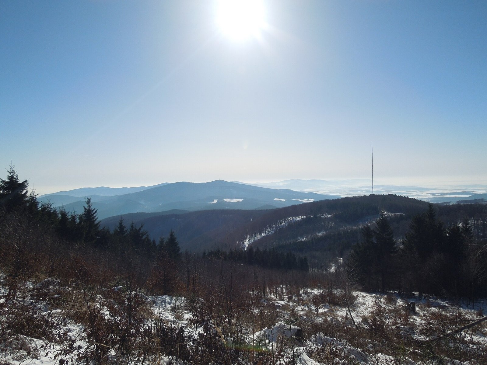
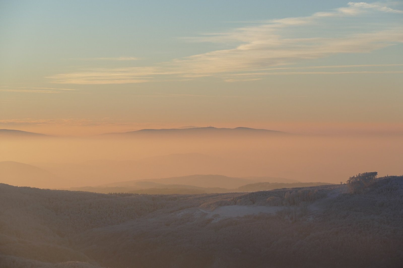
Makovica is a 981 m summit in the central part of the Slanské vrchy in eastern Slovakia, in the subunit that bears the same name. It rises above the village of Kecerovský Lipovec, about 12 km west of the town of Vranov nad Topľou, on the border of the Košice and Prešov regions. Around it lie Kecerovský Lipovec and Opiná to the west, Mudrovce and Rankovce to the south-west, Herľany to the south, Juskova Voľa to the east and Červenica to the north-west. Makovica stands on the main ridge running from the highest peak, Šimonka (1,092 m), to the Herľany pass, and is recognisable from afar thanks to its tall transmitter tower.
How to get there / routes
The main red ridge trail of the Slanské vrchy crosses the summit — part of the European path E3 and the old Eisenach–Budapest route. According to Polish sources it runs from Ruská Nová Ves via Tri chotáre, the Hanušovce saddle, Čierna hora, the Červená mláka and Grimov laz saddles, Makovica, Mošník and the Herľany pass to Slanec.
- Red from the north: from Dubník via Menší vrch (950 m).
- Red from the south: from the Herľany pass via the Vyžník junction.
- Blue: from the east from the village of Juskova Voľa.
A road from the village of Mudrovce also leads to the transmitters on the summit and is popular with cyclists.
What you can see from the summit
The summit is covered by continuous forest, so the top itself has no view. From open spots nearby you can see the neighbouring Slanské vrchy peaks, the Košice basin, the Volovské vrchy, Čierna hora, Branisko, the East Slovak Lowland and the Vihorlat Mountains, and occasionally the Tatras.
Nature and history
The Slanské vrchy belong to the volcanic Matra-Slanec area. Near Makovica rise Menší vrch and Šimonka to the north, Mošník (911 m) and Črchlina to the south and the Rankovské skaly crags to the south-west. The western part of the ridge lies in the Olšava basin — the northern slopes drain via the Mokrý potok, the south-western via the Kostoliansky potok — while the eastern slopes drop via the Košiarny potok to the Lomnica in the Topľa basin.
Its central position in eastern Slovakia and considerable height made Makovica an important telecommunication node. A tower was first built here for radio-relay links and later also carried a television transmitter. Other structures on the summit are used by power companies, the army, mobile operators and private broadcasters. Today FM radio is broadcast from here; digital television was transmitted in the past. Coverage includes most of eastern Slovakia, including Košice and Prešov, the East Slovak Lowland, Zemplín and Šariš, and the signal can even be received in Poland, Ukraine and Hungary.
Safety, season and rules
The routes to Makovica are easy, but the wooded ridge is hard to navigate in fog, and in winter there is snow. Do not enter the fenced transmitter area. Slovak Mountain Rescue (HZS): 18 300 (+421 18 300); emergency number 112.
Interesting facts
- Makovica has a prominence of about 370 m.
- The European long-distance path E3, linking the Atlantic with the Black Sea, crosses the summit.
Photos: Ing.Mgr.Jozef Kotulič, CC BY-SA 4.0; Ing.Mgr.Jozef Kotulič, CC BY-SA 4.0; Ing.Mgr.Jozef Kotulič, CC BY-SA 4.0; Milan Bališin, CC BY-SA 4.0; Milan Bališin, CC BY-SA 4.0 — Wikimedia Commons.
Getting there from Ukraine
Border crossings
- Uzhhorod – Vyšné Nemecké — road, 24/7
- Malyi Bereznyi – Ubľa — road, 24/7 For cars and buses; pedestrians not confirmed by the Ukrainian border service, lorries up to 3.5 t.
- Mali Selmentsi – Veľké Slemence (pedestrian) — pedestrian, 09:00–21:00 Kyiv time Pedestrians and cyclists only; inconvenient for the Tatras without onward transport.
- Chop – Čierna nad Tisou (rail) — rail, 24/7
By car
Lviv – Snina ≈241 km, ≈4 h 20 min without queues: H-13 via Sambir and the Uzhok Pass to Velykyi and Malyi Bereznyi → Malyi Bereznyi – Ubľa checkpoint → road 74 to Snina (≈27 km, ≈30 min from the border). From Uzhhorod: via Vyšné Nemecké (I/19 towards Sobrance, then II/566 and road 74) ≈65 km, ≈1 h 15 min; via Malyi Bereznyi – Ubľa ≈80 km, ≈1 h 40 min, but that crossing is usually less busy.
Checked 23.10.2026; border crossing hours and timetables change — check before you travel.
Location on the map
Water and shelter nearby
- Spring under Menší vrch1.1 km · Not verified · 923 m
- Spring below Menší vrch1.5 km · Not verified · 915 m
- Spring below Čeršlina Hora2.9 km · Not verified · 842 m
Comments
Trails nearby
All trails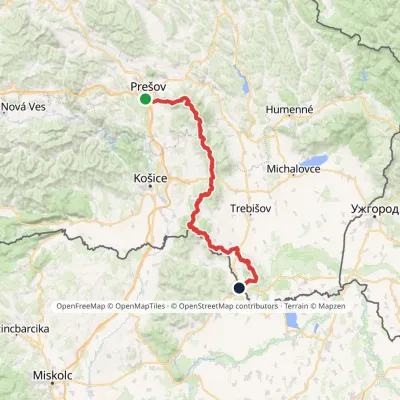 HardMulti-dayMarkedPrešov, Za kalváriou Slovenské Nové MestoElevation profile102–1 077 m135.8 kmascent 3 494 munder 1 km from Makovica
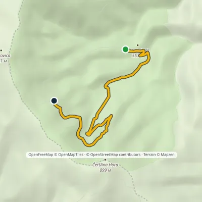 EasyOne-dayMarkedJasova skala MakovicaElevation profile482–821 m4.8 kmascent 368 m≈ 2 h walking1.2 km from Makovica
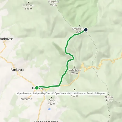 EasyOne-dayMarkedVyžník HerľanyElevation profile375–846 m6.7 kmascent 481 m≈ 2.5 h walking2.7 km from Makovica
Nearby attractions
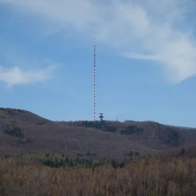 PeakDubníkZlatá Baňaaltitude 874 m8.2 km from MakovicaDubník is a forested 874 m hill in the northern half of the Slanské vrchy in eastern Slovakia, in the Šimonka subunit.
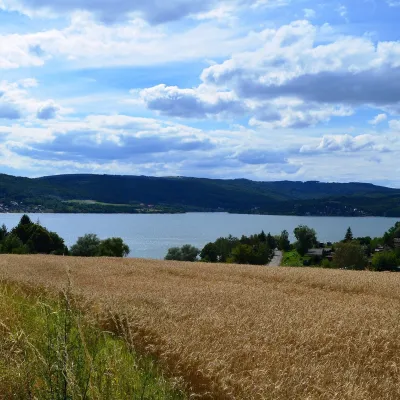 LakeVeľká Domaša reservoirKvakovce24 km from MakovicaVeľká Domaša (often just Domaša) is a large reservoir on the Ondava river in the Ondavská vrchovina hills, south of the Low Beskids ridge, in the Prešov Region of...
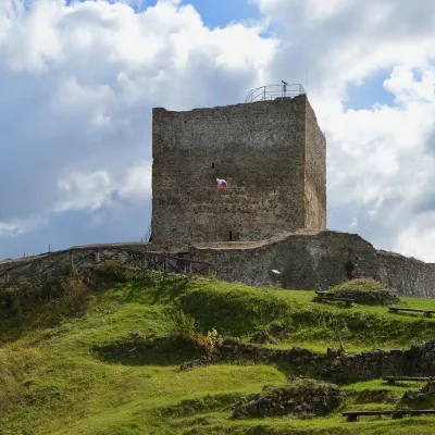 CastleŠariš Castle near PrešovVeľký Šariš32 km from MakovicaŠariš Castle (Šarišský hrad) is one of the largest medieval fortresses in Slovakia: its built-up area exceeds 2.7 ha.
Craft nearby
All craft places Crafts & workshopsMacák Pottery on Košice’s Craft Lane: ceramics and coursesHrašovík22 km from MakovicaHrnčiarska Street in Košice old town is known as the "Craft Lane" (Ulička remesiel): craftspeople work in small houses below the walls of the former town fortifications.
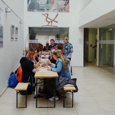 Crafts & workshopsÚĽUV Craft Centre Košice: craft workshops and folk-art shopBaška23 km from MakovicaÚĽUV (Ústredie ľudovej umeleckej výroby, the Centre for Folk Art Production) is a state institution that has looked after Slovak folk crafts since 1945: it keeps a...
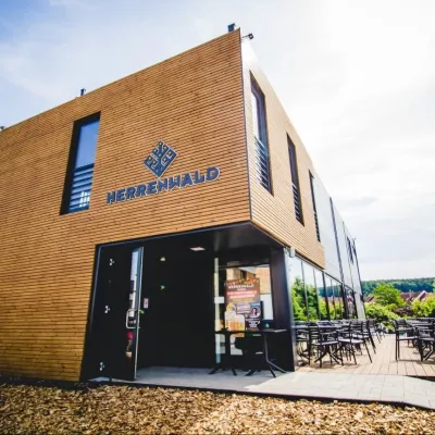 Craft beer & breweriesHerrenwald craft brewery, Malá Ida: tour with the brewerMalá Ida30 km from MakovicaThe Herrenwald brewery stands in its Panský les ("Lords’ Wood") quarter, from whose German name it takes its own.
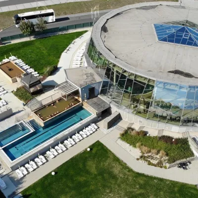 Water parks & thermal poolsThermalpark Šírava in Kaluža, Zemplínska ŠíravaKaluža38 km from MakovicaThermalpark Šírava (Thermalpark ŠÍRAVA) stands in the village of Kaluža on the northern shore of the Zemplínska Šírava — a large reservoir in eastern Slovakia.
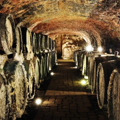 Wine & tastingsJ&J Ostrožovič Winery, Veľká Tŕňa: Tokaj tasting 13 m undergroundVeľká Tŕňa45 km from MakovicaFew people realise that Tokaj is not only a Hungarian wine. A small part of the historic Tokaj wine region lies in Slovakia: seven villages on the southern slopes of...
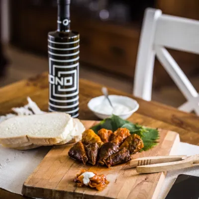 Wine & tastingsTokaj Macik Winery, Malá Tŕňa: organic Tokaj and cellar tastingsVeľká Tŕňa46 km from MakovicaMalá Tŕňa is the heart of Slovak Tokaj: its Medzipivničná ("Between-the-Cellars") Street runs along the stone portals of old cellars.
