Tatranská Javorina

Photos: SchiDD, CC BY-SA 4.0 (Wikimedia Commons); Maťo.G., CC BY 3.0 (Wikimedia Commons); Zygintas, CC BY-SA 3.0 (Wikimedia Commons); Zygintas, CC BY-SA 3.0 (Wikimedia Commons); Ing.Mgr. Jozef Kotulič, CC BY 3.0 (Wikimedia Commons); Ing.Mgr.Jozef Kotulič, CC BY-SA 3.0 (Wikimedia Commons)
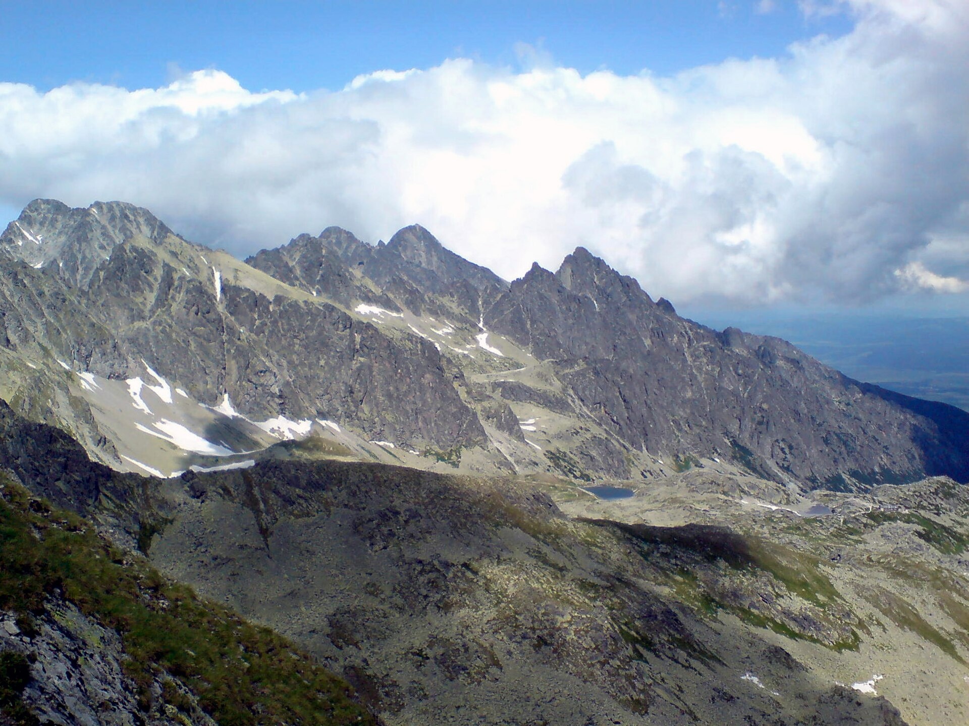
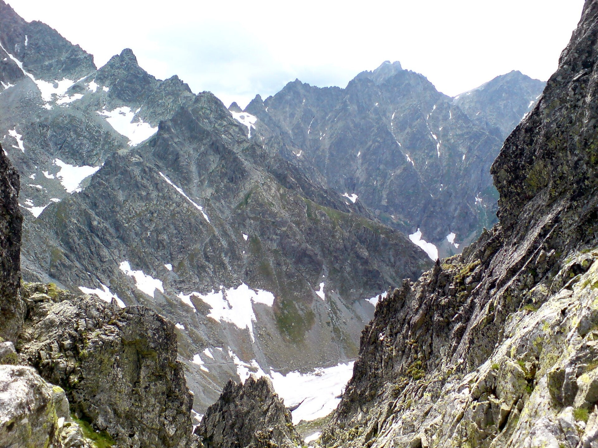
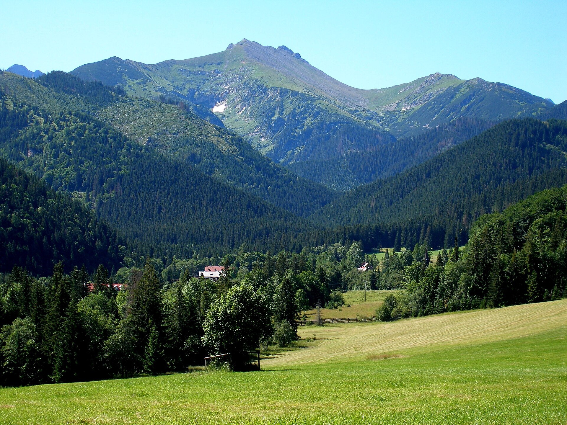
Tatranská Javorina is a village in the Poprad District of the Prešov Region, Slovakia, located in the Javorová Valley at the northern foot of the Belianske Tatras, near the border with Poland. The area is surrounded by the peaks of the High Tatras, and the village sits at an elevation of over 1000 metres above sea level. The Javorový Potok river originates here, and the Čierny Potok also flows through the settlement.
The first written mention of Tatranská Javorina dates back to 1320. In the 18th century, a small settlement developed around an ironworks. The village was the subject of territorial disputes between Poland and Czechoslovakia in the interwar period and during World War II, changing hands several times before finally becoming part of Slovakia after 1945.
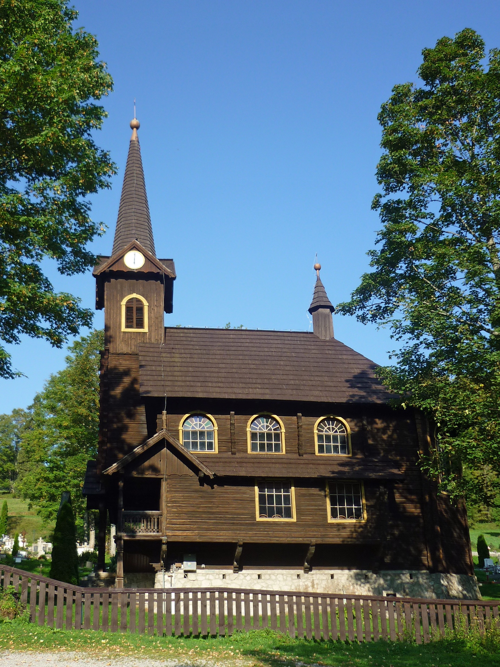
Tatranská Javorina is known for its natural beauty, rich forests, and proximity to the unique peaks of the High Tatras. The village is home to the Roman Catholic Church of St. Anna, built in 1924. Local culture preserves features of the Spiš dialect, and the surrounding forests and meadows attract nature lovers and mountain hikers.
A green tourist trail starts in Tatranská Javorina, leading through the Javorová Valley up to the Ledový Pass. Popular routes include Starý Smokovec – Tatranská Javorina, Tatranské Matliare – Tatranská Javorina, and paths to peaks such as Jahňací štít, Ľadový štít, Havran, and Malý Ľadový štít. Nearby is Ždiar, a Goral village and ethnographic site at the foot of the Belianske Tatras.
Getting there from Ukraine
Uzhhorod – Poprad ≈195 km, ≈2 h 55 min without queues: Uzhhorod – Vyšné Nemecké checkpoint → I/19 via Sobrance and Michalovce → Košice → D1 motorway via Prešov → Poprad. The D1 requires an e-vignette (eznamka.sk). From Lviv, the fastest route to Poprad is via Poland — Krakovets – A4 – Kraków – Zakopane – Łysa Polana.
Sources: Wikipedia, Wikidata, OpenStreetMap, Karpaty.rocks data. More on Wikipedia
What's nearby
Trails nearby
All trails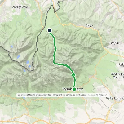 HardTwo-dayMarkedStary Smokowiec Tatrzańska JaworinaElevation profile996–2 342 m22.4 kmascent 1 382 m≈ 8.5 h walkingunder 1 km from the centre
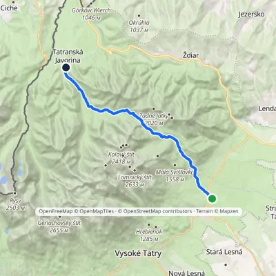 ModerateTwo-dayMarkedTatranské Matliare Tatranská JavorinaElevation profile885–1 779 m17.9 kmascent 894 m≈ 6.5 h walkingunder 1 km from the centre
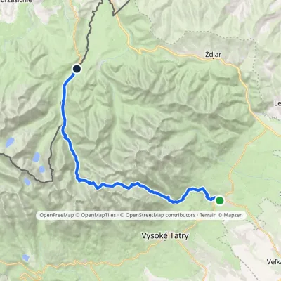 HardMulti-dayMarkedTatranská Lomnica Lysá PoľanaElevation profile853–2 268 m27.3 kmascent 1 415 m≈ 9.5 h walking2 km from the centre
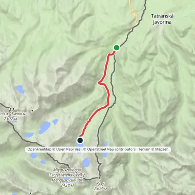 EasyOne-dayMarkedPalenica Białczańska Morskie OkoElevation profile993–1 410 m7.8 kmascent 417 m≈ 3 h walking3.3 km from the centre
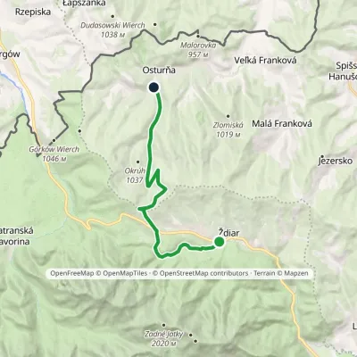 ModerateOne-dayMarkedŽdiar, Tatra Osturňa, Pod Bystrou ValleyElevation profile738–1 135 m13.5 kmascent 261 m≈ 4 h walking5.7 km from the centre
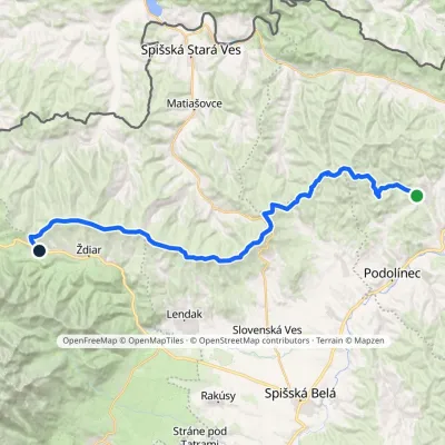 HardMulti-dayMarkedVyšné Ružbachy, spa Strednica, ski areaElevation profile637–1 198 m34.1 kmascent 1 105 m≈ 10.5 h walking5.9 km from the centre
Peaks nearby
All peaks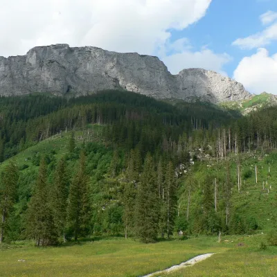 PeakMuráňTatranská Javorinaaltitude 1 890 m3.1 km from the centreMuráň (Polish Murań or Wielki Murań, German Wandberg) is a limestone summit 1890 m high on the main ridge of the Belianske Tatras in Slovakia.
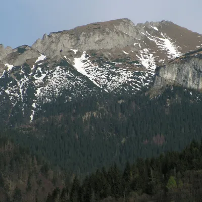 PeakNovýTatranská Javorinaaltitude 1 999 m3.7 km from the centreNový (also Nový vrch; Polish Nowy Wierch; German Höhlenberg, “Cave Mountain”) is a 1,999 m limestone summit in the western part of the main ridge of the Belianske...
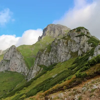 PeakHavranTatranská Javorinaaltitude 2 152 m4.5 km from the centreHavran (Polish Hawrań, German Rabenstein) is the highest peak of the Belianske Tatras at 2,152 m and at the same time the highest limestone summit of the entire Tatras.
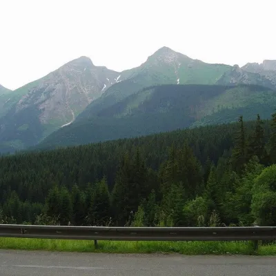 PeakŽdiarska vidlaKežmarské Žľabyaltitude 2 142 m5.3 km from the centreŽdiarska vidla (Polish Płaczliwa Skała, German Greiner) is a 2,142 m summit, the second highest in the Belianske Tatras after neighbouring Havran (2,152 m).
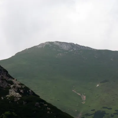 PeakHlúpyKežmarské Žľabyaltitude 2 061 m6.6 km from the centreHlúpy (also Šialený vrch, "Crazy Peak"; Polish Szalony Wierch; German Törichter Gern) is a 2061 m summit in the Slovak Belianske Tatras and the third highest of this...
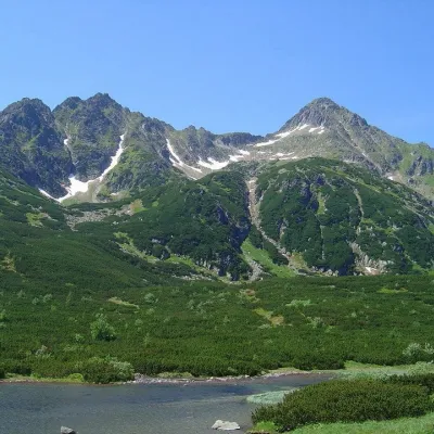 PeakJahňací štítTatranská Javorinaaltitude 2 230 m7.1 km from the centreJahňací štít (Polish Jagnięcy Szczyt) is a peak 2230 m high (more precisely 2229.6 m) in the High Tatras of Slovakia.
What to visit
All LakeBiele plesá (White Tarns)Kežmarské Žľaby8.1 km from the centreBiele plesá (the White Tarns) are a group of nine small lakes in Dolina Bielych plies in the north-east of the High Tatras, in the Tatra National Park (TANAP).
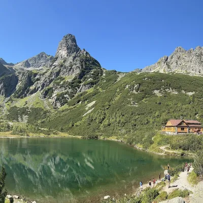 LakeZelené pleso (Kežmarské)Kežmarské Žľaby8.5 km from the centreZelené pleso, often called Kežmarské Zelené pleso, is a moraine lake in the Dolina Zeleného plesa valley in the north-east of the High Tatras, at 1,545 m.
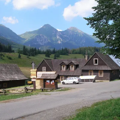 Historic siteŽdiar — Goral village below the Belianske TatrasŽdiar8.8 km from the centreŽdiar is a Goral village in the valley between the Belianske Tatras and the Spišská Magura hills, about 34 km from Poprad.
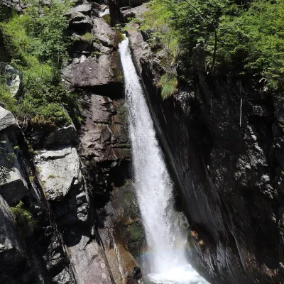 WaterfallObrovský vodopád (Giant Waterfall)Starý Smokovec12 km from the centreObrovský vodopád (Polish Wodospad Olbrzymi, German Riesenwasserfall – the "Giant Waterfall") is one of the most powerful and photogenic waterfalls of the Slovak High...
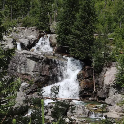 WaterfallStudený potok Waterfalls and HrebienokStarý Smokovec13 km from the centreThe Studený potok waterfalls (Vodopády Studeného potoka), known in Polish literature as the Zimna Woda waterfalls, are one of the oldest tourist attractions of the...
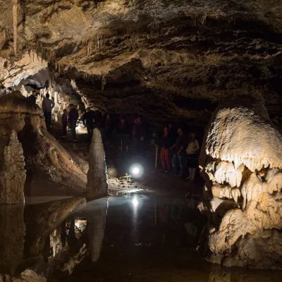 NatureBelianska CaveKežmarské Žľaby13 km from the centreBelianska Cave (Belianska jaskyňa) is the only show cave in the High Tatras and one of the most visited in Slovakia.
Craft nearby
All craft places Water parks & thermal poolsClimatic spas of the High Tatras: Nový Smokovec, Polianka, KotlinaVysoké Tatry15 km from the centreNový Smokovec is the best known of the climatic spas of the High Tatras. It grew up in a spruce forest at about 1010 m, south-west of Starý Smokovec, with which it...
 Ethno tours & guidesGoral raftsmen of Červený Kláštor: wooden-raft trip on the DunajecČervený Kláštor24 km from the centreBetween Červený Kláštor and Lesnica the Dunajec cuts a deep, winding gorge through the limestone Pieniny, and here the river becomes the border between Slovakia and...
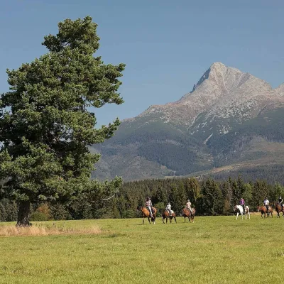 Horse ridingKone vo Východnej: horse rides below the TatrasVýchodná25 km from the centreKone vo Východnej (“Horses in Východná”) is a small family horse farm on the meadows above the village of Východná in upper Liptov, with a sweeping view of the High...
 Water parks & thermal poolsAquaCity Poprad water parkPoprad26 km from the centreAquaCity Poprad is a large year-round water park and wellness complex in the town of Poprad, a few minutes from the centre; according to the complex, the High Tatras...
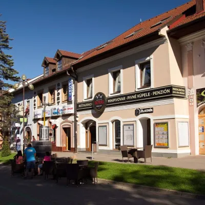 Craft beer & breweriesMinipivovar TATRAS, PopradPoprad26 km from the centreMinipivovar TATRAS is a brewpub on Poprad’s main square, Námestie sv. Egídia, housed in a building with a long brewing history.
 Eco farmsFarma Východná — organic farm below the TatrasVýchodná29 km from the centreFarma Východná is the highest-lying organic farm in Liptov, at 930 m in the village of Východná right below the Tatras.
Spas and thermal pools nearby
Water parks & thermal poolsClimatic spas of the High Tatras: Nový Smokovec, Polianka, KotlinaVysoké Tatry15 km from the centreNový Smokovec is the best known of the climatic spas of the High Tatras. It grew up in a spruce forest at about 1010 m, south-west of Starý Smokovec, with which it...Water parks & thermal poolsAquaCity Poprad water parkPoprad26 km from the centreAquaCity Poprad is a large year-round water park and wellness complex in the town of Poprad, a few minutes from the centre; according to the complex, the High Tatras... Water parks & thermal poolsMeander Thermal Resort, OraviceVitanová29 km from the centreMeander Thermal & Ski Resort (formerly Meander Park) is a thermal water park and ski centre in the mountain settlement of Oravice in northern Slovakia, at the foot of...
Huts, shelters and springs nearby
Getting there from Ukraine
Border crossings
- Uzhhorod – Vyšné Nemecké — road, 24/7
- Malyi Bereznyi – Ubľa — road, 24/7 For cars and buses; pedestrians not confirmed by the Ukrainian border service, lorries up to 3.5 t.
- Mali Selmentsi – Veľké Slemence (pedestrian) — pedestrian, 09:00–21:00 Kyiv time Pedestrians and cyclists only; inconvenient for the Tatras without onward transport.
- Chop – Čierna nad Tisou (rail) — rail, 24/7
By car
Uzhhorod – Poprad ≈195 km, ≈2 h 55 min without queues: Uzhhorod – Vyšné Nemecké checkpoint → I/19 via Sobrance and Michalovce → Košice → D1 motorway via Prešov → Poprad (Liptovský Mikuláš is ≈56 km further on the D1, total ≈249 km). Košice – Poprad ≈112 km. The D1 requires an e-vignette (eznamka.sk). Note: from Lviv the fastest way to Poprad is through Poland — Krakovets – A4 – Kraków – Zakopane – Łysa Polana ≈468 km (≈5 h 50 min); via Uzhok and Malyi Bereznyi ≈419 km but slower (≈6 h 40 min). Zakopane – Poprad ≈69 km, Zakopane – Liptovský Mikuláš ≈80 km.
Checked 23.10.2026; border crossing hours and timetables change — check before you travel.
