Nový
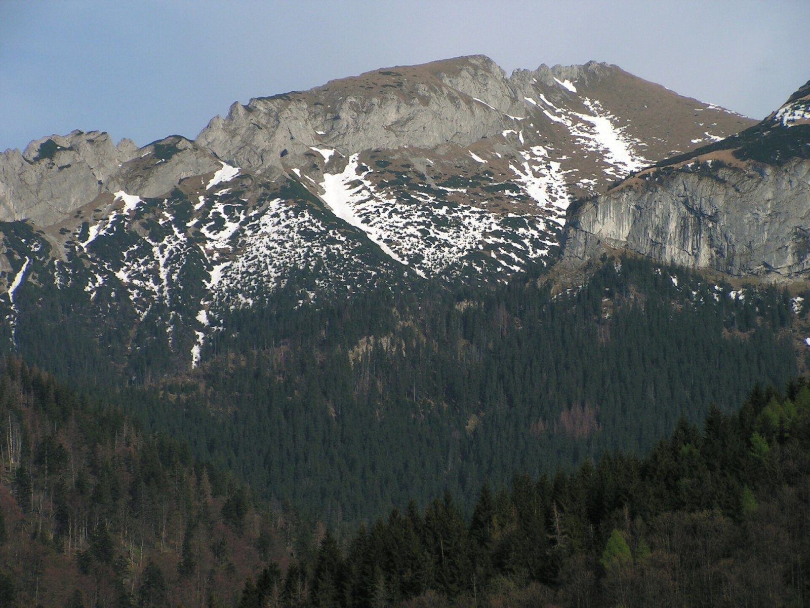
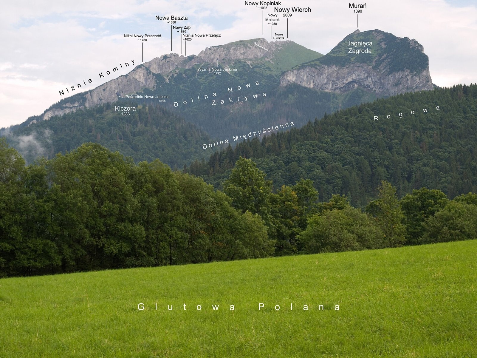
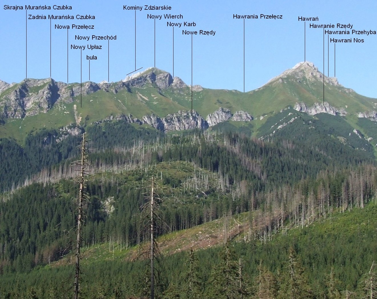
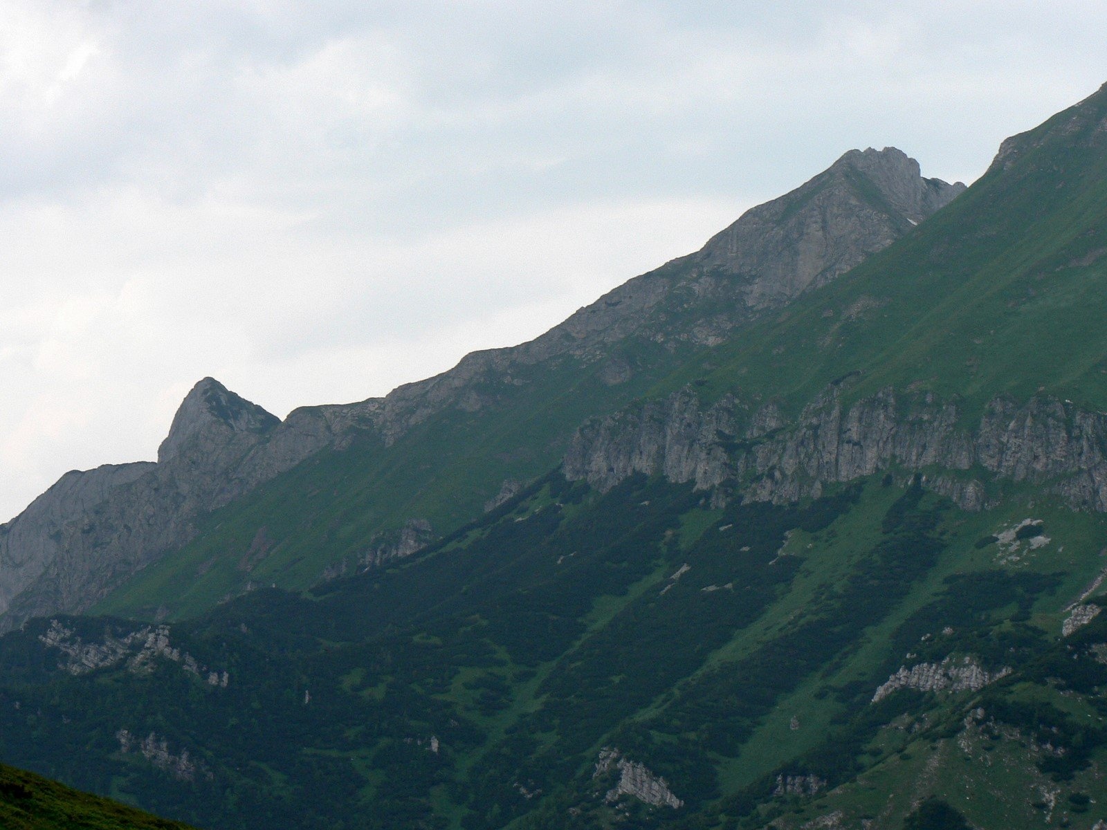
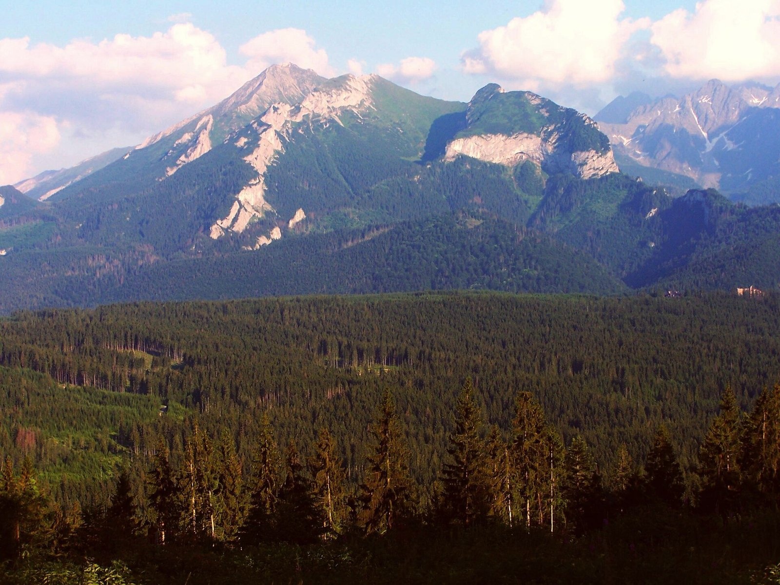
Nový (also Nový vrch; Polish Nowy Wierch; German Höhlenberg, “Cave Mountain”) is a 1,999 m limestone summit in the western part of the main ridge of the Belianske Tatras in Slovakia (Polish sources give 2,009 m). It rises above Tatranská Javorina and Podspády, about 20 km north-west of Kežmarok, with the village of Ždiar to the east. The peak stands between Muráň (1,890 m) to the west and Havran (2,152 m) to the east: Nové sedlo (about 1,845 m) separates it from Muráň and Havranie sedlo from Havran. The whole massif lies within the Tatra National Park (TANAP) and the Belianske Tatry national nature reserve. Its name is often confused with the neighbouring Nový vrch (1,727 m), about a kilometre to the north.
How to get there / routes
The summit is not accessible: no marked trail leads to it, and the whole massif belongs to a strict protection zone closed to both hikers and climbers. Nový is therefore a mountain to admire from a distance. It is best seen from Tatranská Javorina and the Javorová valley, with Muráň, Nový and Havran in a row; from the Polish side from around Bukowina Tatrzańska; and from the passes above Kopské sedlo. The Belianske Tatras have only a few marked trails, and none of them covers the western part of the main ridge.
What you can see from the summit
The top is covered only by low vegetation, so the view is wide: the northern part of the Belianske Tatras main ridge and many High Tatra peaks — Jahňací and Kolový štít, Kopa Brán — and in good conditions the Orava Beskids with Babia Góra and Pilsko, the Spiš Magura, the Pieniny and the border hills of southern Poland. This comes from written sources; it cannot be checked in person without breaking reserve rules.
Nature and history
Nový is built of limestone and has three tops. The lowest, southern one lies on the main ridge and is a ridge junction, while the two higher ones sit on a side ridge running north; they differ by only 1–2 m and are 10–15 m apart. The highest, northern top terminates the rocky crest of the Ždiarske Komíny, which divides the Nová and Havrania valleys. Towards the Zadný Štefanov žľab gully the mountain drops in a 60 m wall. Water from the south-western slopes flows via the Štefanka brook into the Javorinka, and the northern part of the ridge drains through the Nový potok and Havran streams — all in the Dunajec basin.
Around the summit there are a dozen or so small caves where remains of animals from the last glaciation were found — hence the German name “Cave Mountain”. Today numerous wallcreepers live here, and much of the slopes is covered by primeval forest. The name comes from the pastures in the Nová valley below the peak.
Shepherds and poachers knew the mountain long ago; later tourists came too, among them the Polish physician and Tatra pioneer Ludwik Chałubiński in 1880. The first known winter ascent was made by Adam Karpiński and Zofia and Tadeusz Bernadzikiewicz in 1937. Since then the summit has been visited very rarely, and today it is entirely closed.
Safety, season and rules
Entering the protected part of the Belianske Tatras is forbidden all year; breaking TANAP rules can mean a fine. The park’s high-mountain trails are additionally closed from 1 November to 31 May. If you walk the marked trails nearby, keep in mind the fast-changing weather and steep limestone slopes. Slovak Mountain Rescue (HZS): 18 300 (+421 18 300); emergency number 112. Park rules: tanap.sk.
Photos: Rafik k, CC BY 2.5; Rafał Kozubek, CC BY-SA 4.0; Jerzy Opioła, CC BY-SA 4.0; Krzysztof Dudzik-Górnicki (User:ToSter), CC BY 3.0; Jerzy Opioła, CC BY-SA 4.0; Jerzy Opioła, CC BY-SA 4.0; Krzysztof Dudzik-Górnicki (User:ToSter), CC BY 3.0 — Wikimedia Commons.
Getting there from Ukraine
Border crossings
- Uzhhorod – Vyšné Nemecké — road, 24/7
- Malyi Bereznyi – Ubľa — road, 24/7 For cars and buses; pedestrians not confirmed by the Ukrainian border service, lorries up to 3.5 t.
- Mali Selmentsi – Veľké Slemence (pedestrian) — pedestrian, 09:00–21:00 Kyiv time Pedestrians and cyclists only; inconvenient for the Tatras without onward transport.
- Chop – Čierna nad Tisou (rail) — rail, 24/7
By car
Uzhhorod – Poprad ≈195 km, ≈2 h 55 min without queues: Uzhhorod – Vyšné Nemecké checkpoint → I/19 via Sobrance and Michalovce → Košice → D1 motorway via Prešov → Poprad (Liptovský Mikuláš is ≈56 km further on the D1, total ≈249 km). Košice – Poprad ≈112 km. The D1 requires an e-vignette (eznamka.sk). Note: from Lviv the fastest way to Poprad is through Poland — Krakovets – A4 – Kraków – Zakopane – Łysa Polana ≈468 km (≈5 h 50 min); via Uzhok and Malyi Bereznyi ≈419 km but slower (≈6 h 40 min). Zakopane – Poprad ≈69 km, Zakopane – Liptovský Mikuláš ≈80 km.
Checked 23.10.2026; border crossing hours and timetables change — check before you travel.
Location on the map
Water and shelter nearby
- Spring below Štefan1.7 km · Not verified · 1 322 m
- Spring below Stará Javorinka1.7 km · Not verified · 1 416 m
- Spring below Skorušová kôpka1.9 km · Not verified · 1 390 m
- Spring below Veľký Baboš (east slope), 1 257 m1.9 km · Not verified · 1 257 m
- Spring below Veľký Baboš (north-east slope)2 km · Not verified · 1 141 m
- Spring below Veľký Baboš (east slope), 1 180 m2 km · Not verified · 1 180 m
Comments
Trails nearby
All trails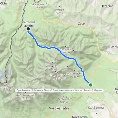 ModerateTwo-dayMarkedTatranské Matliare Tatranská JavorinaElevation profile885–1 779 m17.9 kmascent 894 m≈ 6.5 h walking1.6 km from Nový
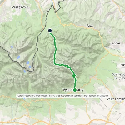 HardTwo-dayMarkedStary Smokowiec Tatrzańska JaworinaElevation profile996–2 342 m22.4 kmascent 1 382 m≈ 8.5 h walking2.2 km from Nový
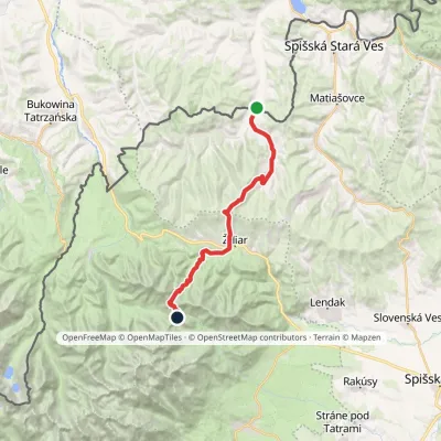 HardTwo-dayMarkedTatranská magistrála (Tatra Highway)Elevation profile613–1 933 m21.2 kmascent 1 744 m≈ 9 h walking2.3 km from Nový
Nearby attractions
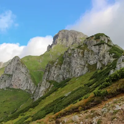 PeakHavranTatranská Javorinaaltitude 2 152 munder 1 km from NovýHavran (Polish Hawrań, German Rabenstein) is the highest peak of the Belianske Tatras at 2,152 m and at the same time the highest limestone summit of the entire Tatras.
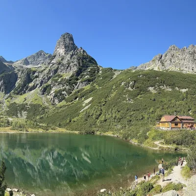 LakeZelené pleso (Kežmarské)Kežmarské Žľaby5.1 km from NovýZelené pleso, often called Kežmarské Zelené pleso, is a moraine lake in the Dolina Zeleného plesa valley in the north-east of the High Tatras, at 1,545 m.
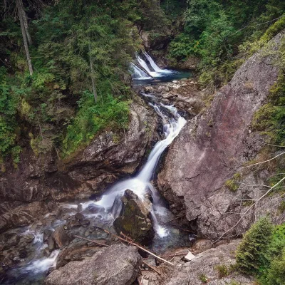 WaterfallWodogrzmoty Mickiewicza (Mickiewicz Waterfalls)Małe Ciche7.5 km from NovýWodogrzmoty Mickiewicza (the Mickiewicz Waterfalls) are a chain of falls in the High Tatras on the Roztoka stream, which flows out of the Valley of the Five Polish Lakes.
Craft nearby
All craft places Cheese dairies & pasturesShepherd's Hut on Rusinowa PolanaBrzegi7.2 km from NovýRusinowa Polana is one of the most beautiful mountain glades in the Polish Tatras, and from May to October it is home to the bacówka (shepherd's hut) of baca Stanisław...
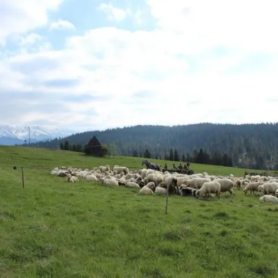 Cheese dairies & pasturesU Jancoka Shepherd's Hut, Brzegi: oscypek from Poland's first female bacaBrzegi9.8 km from NovýThe U Jancoka shepherd's hut (bacówka) stands beside regional road 960, which runs from Bukowina Tatrzańska to the Łysa Polana border crossing, in the village of Brzegi.
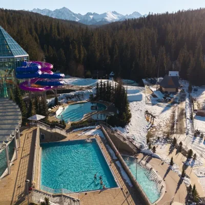 Water parks & thermal poolsTermy BukovinaBukowina Tatrzańska11 km from NovýTermy Bukovina is a modern thermal pool complex in Bukowina Tatrzańska, a village lying about a thousand metres above sea level on the edge of the Tatra National Park.
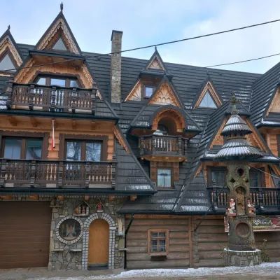 Crafts & workshopsDrewutnia, Bukowina Tatrzańska: glass painting workshops and highland furnitureBukowina Tatrzańska11 km from NovýDrewutnia ("the woodshed") calls itself a "shop for cultural needs". It is the family business of the Kuchtas of Bukowina Tatrzańska, who say they have lived here...
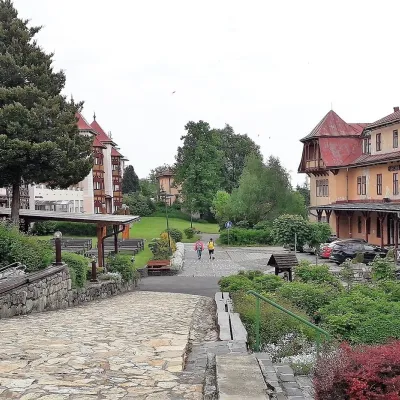 Water parks & thermal poolsClimatic spas of the High Tatras: Nový Smokovec, Polianka, KotlinaVysoké Tatry13 km from NovýNový Smokovec is the best known of the climatic spas of the High Tatras. It grew up in a spruce forest at about 1010 m, south-west of Starý Smokovec, with which it...
 Cheese dairies & pasturesFurtek's Shepherd's Huts, Kuźnice and KalatówkiZakopane15 km from NovýAbove Kuźnice — the southern edge of Zakopane where most hikes into the Western and High Tatras begin — the flocks are tended by baca Andrzej Staszel, nicknamed "Furtek".
