Havran
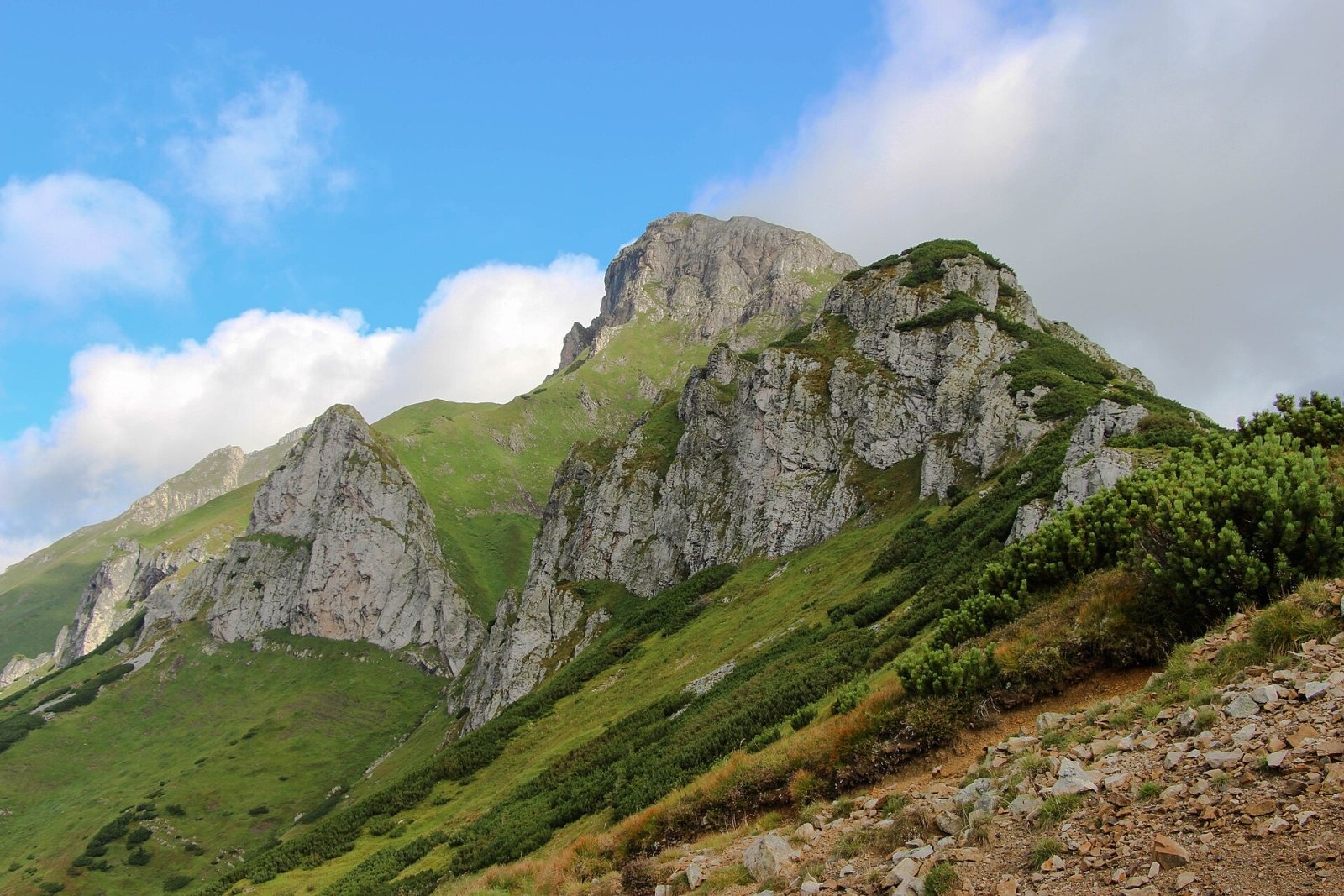
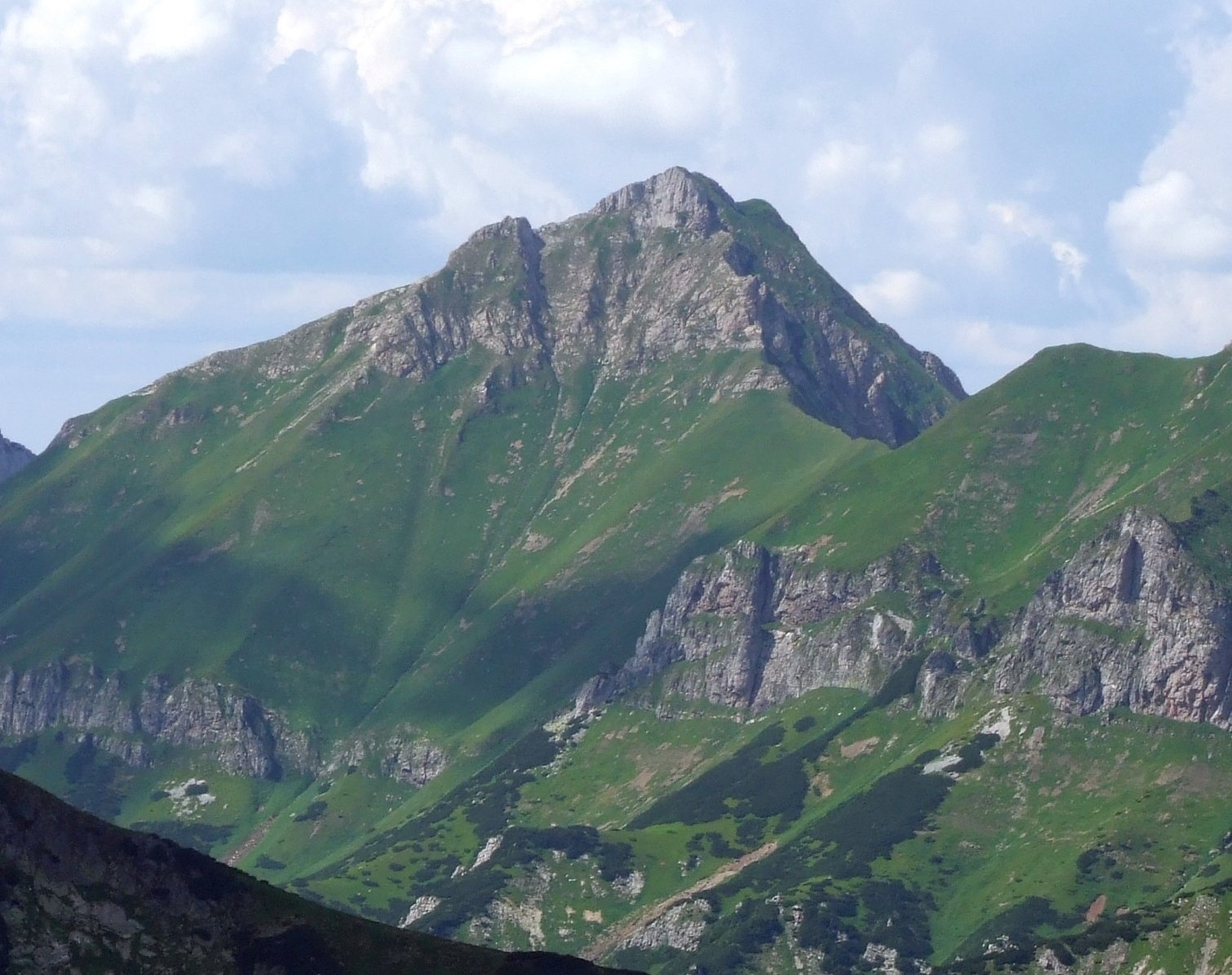
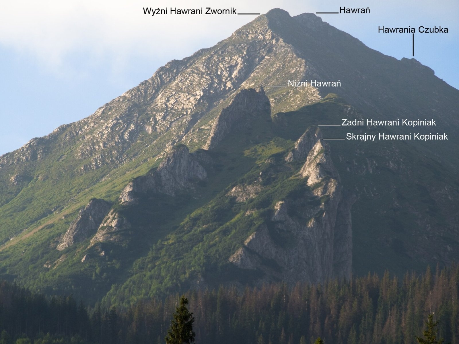
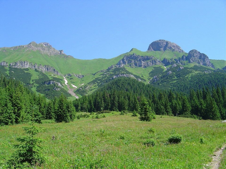
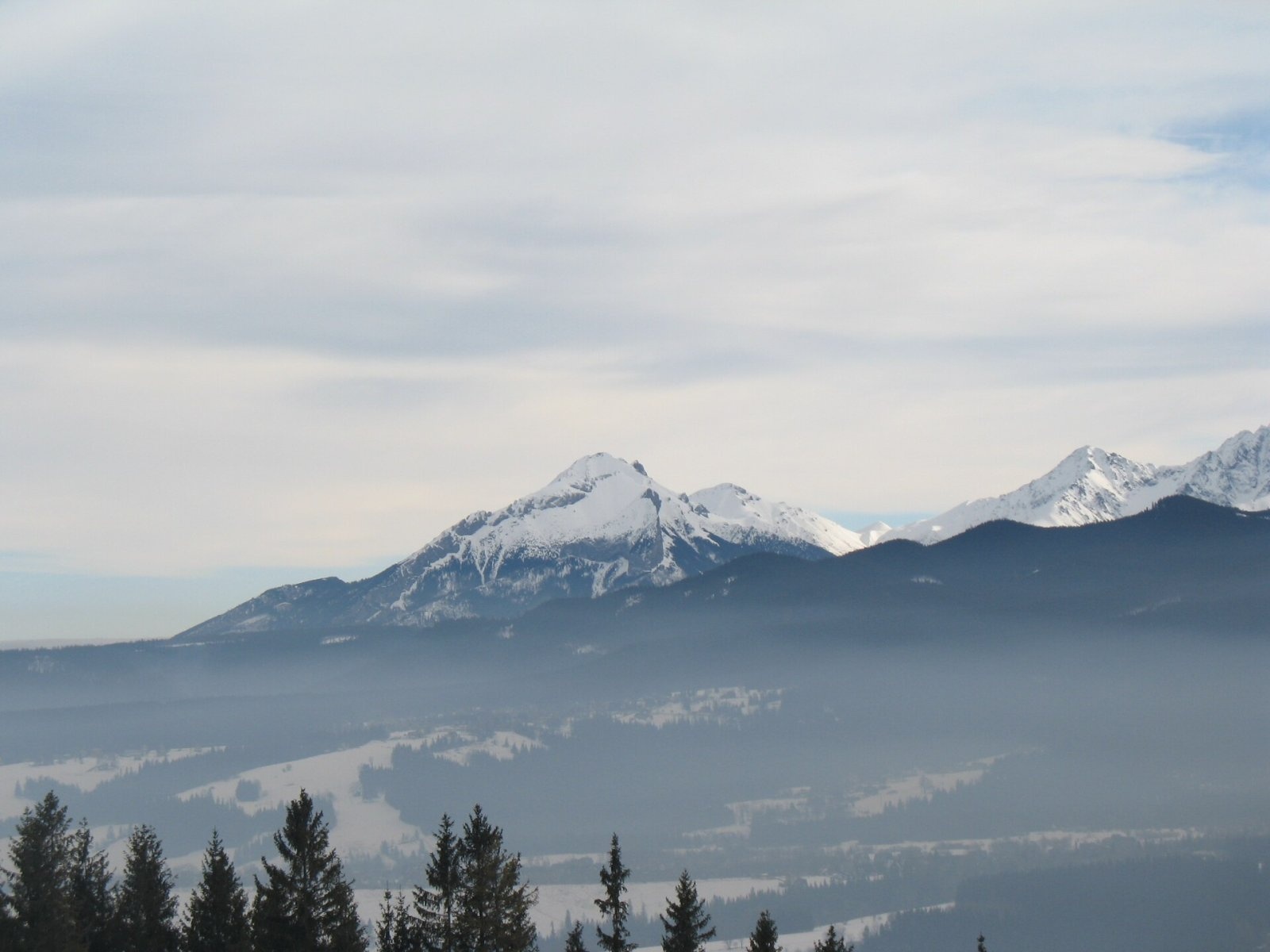
Havran (Polish Hawrań, German Rabenstein) is the highest peak of the Belianske Tatras at 2,152 m and at the same time the highest limestone summit of the entire Tatras. It rises above the village of Ždiar, about 20 km north-west of Kežmarok, in Slovakia's Prešov Region. The massif lies in the Tatra National Park and in the Belianske Tatry National Nature Reserve, which has the highest, fifth degree of protection. The summit has been closed to hikers since 1978, there is no marked trail to it — Havran can only be admired from a distance.
Havran lies in the north-western part of the main Belianske Tatras ridge, between Nový (about 2,000 m), separated by the Havranie sedlo saddle, and Ždiarska vidla (2,142 m) beyond the Tristarské sedlo saddle. Together with Nový and Muráň they form a distinctive group visible from many places in the High Tatras and from Polish Podhale. Below the massif to the south lies the Zadné Meďodoly valley, to the east the Tristárska valley. Water from the south-western and northern slopes drains to the Javorinka in the Dunajec basin, while the Biela river rises on the eastern slope and flows to the Poprad.
The summit is covered only by low vegetation, and three rocky ridges radiate from it. On the north-western spur stands the highest wall in the Belianske Tatras — about 250 m. More than a dozen caves are known on the slopes; the deepest, the Tristarská cave (201 m), is the deepest in the whole Belianske Tatras.
The name
Havran and its neighbour were once called «Fork Peak» (German Gabelspitze), in Slovak Nižná or Panská vidla. The present name appeared about a hundred years ago and its origin is unknown: the Slovak word havran means both a rook and a black horse.
Why it is closed
As early as 1887 Prince Christian Hohenlohe bought this part of the Tatras for hunting, fenced it off and banned entry. Later a yellow-marked trail was opened to the summit from Ždiar, but it was closed in 1978, and since then the whole massif has been a strict reserve. Even the easiest natural route (from Zadné Meďodoly via Havranie sedlo) is forbidden; breaking TANAP rules is fined — and above all chamois, marmots and rare lime-loving plants live here and need peace.
Where to see it from
- Blue markings from Tatranská Javorina up the Zadné Meďodoly valley to Kopské sedlo and on to Tatranské Matliare — the trail closest to Havran, with good views of the massif's southern slopes. TANAP's high-mountain sections are closed every year from 1 November to 31 May.
- Nearby, an educational trail runs up the Monková valley to the ridge at Široké sedlo (about 1,826 m); it operates seasonally — check tanap.sk.
- Fine views of Havran open from Ždiar, Podspády and Tatranská Javorina, and on the Polish side from Gubałówka, Rusinowa Polana and Bachledzki Wierch.
The view from the top
According to Slovak sources, the summit shows the main ridge of the Belianske Tatras and most High Tatra peaks, and in good weather the Volovské vrchy, Branisko, Čergov, the Levoča Hills, Pieniny, Spišská Magura, the Orava Beskids and many mountains of southern Poland. That is why Havran was long famous as a viewpoint — today this panorama survives mainly in old photographs.
Culture
The Polish poet Władysław Broniewski dedicated the poem «Hawrań i Murań» (1935) to it. Its silhouette is one of the most recognisable sights of Podhale and Spiš.
Safety
On the permitted trails around, the usual high-mountain rules apply: keep to marked routes, watch the forecast and do not set out in a thunderstorm. Slovak Mountain Rescue Service (HZS): 18 300 (from a foreign phone +421 18 300) or 112.
Photos: Michal Klajban, CC BY-SA 4.0; Jerzy Opioła, CC BY-SA 4.0; Rafik k, CC BY-SA 4.0; Kristo, CC BY-SA 3.0; Matthew - first user,, CC BY-SA 3.0 — Wikimedia Commons.
Getting there from Ukraine
Border crossings
- Uzhhorod – Vyšné Nemecké — road, 24/7
- Malyi Bereznyi – Ubľa — road, 24/7 For cars and buses; pedestrians not confirmed by the Ukrainian border service, lorries up to 3.5 t.
- Mali Selmentsi – Veľké Slemence (pedestrian) — pedestrian, 09:00–21:00 Kyiv time Pedestrians and cyclists only; inconvenient for the Tatras without onward transport.
- Chop – Čierna nad Tisou (rail) — rail, 24/7
By car
Uzhhorod – Poprad ≈195 km, ≈2 h 55 min without queues: Uzhhorod – Vyšné Nemecké checkpoint → I/19 via Sobrance and Michalovce → Košice → D1 motorway via Prešov → Poprad (Liptovský Mikuláš is ≈56 km further on the D1, total ≈249 km). Košice – Poprad ≈112 km. The D1 requires an e-vignette (eznamka.sk). Note: from Lviv the fastest way to Poprad is through Poland — Krakovets – A4 – Kraków – Zakopane – Łysa Polana ≈468 km (≈5 h 50 min); via Uzhok and Malyi Bereznyi ≈419 km but slower (≈6 h 40 min). Zakopane – Poprad ≈69 km, Zakopane – Liptovský Mikuláš ≈80 km.
Checked 23.10.2026; border crossing hours and timetables change — check before you travel.
Location on the map
Water and shelter nearby
- Spring below Stará Javorinka1.4 km · Not verified · 1 416 m
- Spring below Skorušová kôpka1.7 km · Not verified · 1 390 m
- Spring below Štefan1.9 km · Not verified · 1 322 m
- Spring below Veľký Baboš (east slope), 1 257 m2.4 km · Not verified · 1 257 m
- Spring below Veľký Baboš (east slope), 1 180 m2.6 km · Not verified · 1 180 m
- Spring below Veľký Baboš (north-east slope)2.6 km · Not verified · 1 141 m
Comments
Trails nearby
All trails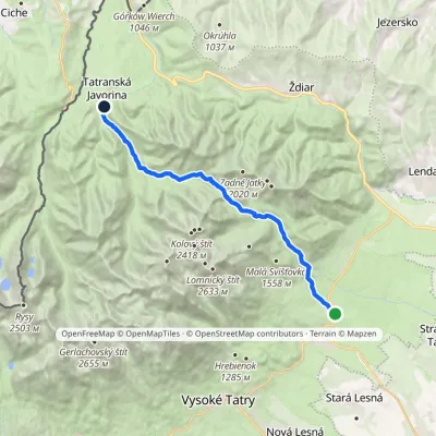 ModerateTwo-dayMarkedTatranské Matliare Tatranská JavorinaElevation profile885–1 779 m17.9 kmascent 894 m≈ 6.5 h walking1.4 km from Havran
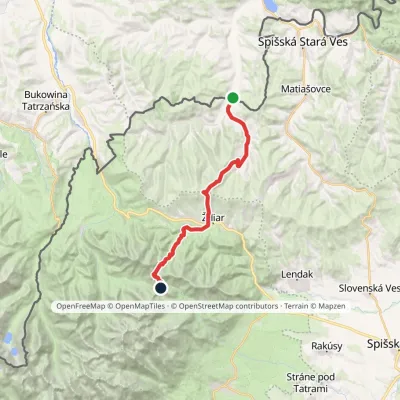 HardTwo-dayMarkedTatranská magistrála (Tatra Highway)Elevation profile613–1 933 m21.2 kmascent 1 744 m≈ 9 h walking1.6 km from Havran
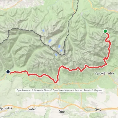 HardMulti-dayMarkedTatranská magistrála (Tatra Highway): Podbanské Veľké Biele plesoElevation profile929–2 043 m50.1 kmascent 1 639 m2.7 km from Havran
Nearby attractions
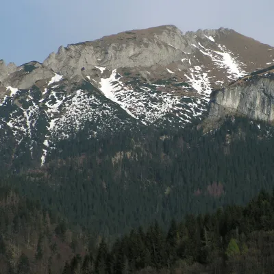 PeakNovýTatranská Javorinaaltitude 1 999 munder 1 km from HavranNový (also Nový vrch; Polish Nowy Wierch; German Höhlenberg, “Cave Mountain”) is a 1,999 m limestone summit in the western part of the main ridge of the Belianske...
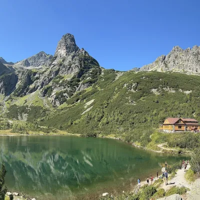 LakeZelené pleso (Kežmarské)Kežmarské Žľaby4.6 km from HavranZelené pleso, often called Kežmarské Zelené pleso, is a moraine lake in the Dolina Zeleného plesa valley in the north-east of the High Tatras, at 1,545 m.
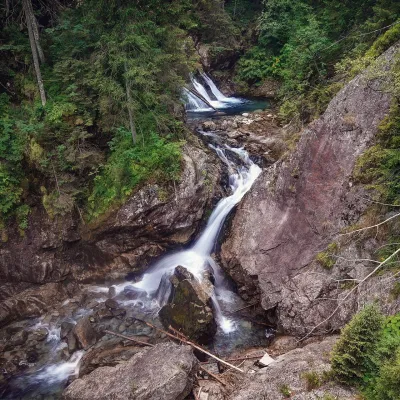 WaterfallWodogrzmoty Mickiewicza (Mickiewicz Waterfalls)Małe Ciche8.2 km from HavranWodogrzmoty Mickiewicza (the Mickiewicz Waterfalls) are a chain of falls in the High Tatras on the Roztoka stream, which flows out of the Valley of the Five Polish Lakes.
Craft nearby
All craft places Cheese dairies & pasturesShepherd's Hut on Rusinowa PolanaBrzegi7.9 km from HavranRusinowa Polana is one of the most beautiful mountain glades in the Polish Tatras, and from May to October it is home to the bacówka (shepherd's hut) of baca Stanisław...
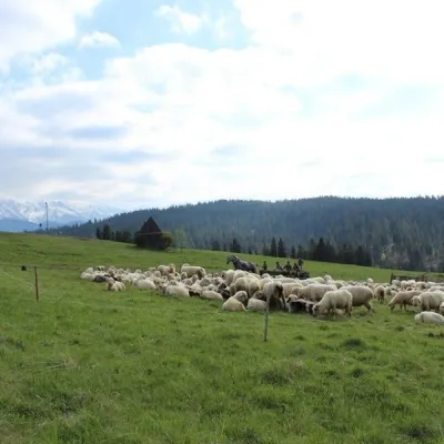 Cheese dairies & pasturesU Jancoka Shepherd's Hut, Brzegi: oscypek from Poland's first female bacaBrzegi10 km from HavranThe U Jancoka shepherd's hut (bacówka) stands beside regional road 960, which runs from Bukowina Tatrzańska to the Łysa Polana border crossing, in the village of Brzegi.
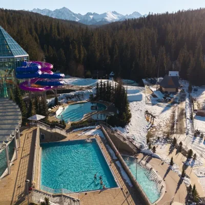 Water parks & thermal poolsTermy BukovinaBukowina Tatrzańska11 km from HavranTermy Bukovina is a modern thermal pool complex in Bukowina Tatrzańska, a village lying about a thousand metres above sea level on the edge of the Tatra National Park.
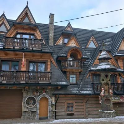 Crafts & workshopsDrewutnia, Bukowina Tatrzańska: glass painting workshops and highland furnitureBukowina Tatrzańska12 km from HavranDrewutnia ("the woodshed") calls itself a "shop for cultural needs". It is the family business of the Kuchtas of Bukowina Tatrzańska, who say they have lived here...
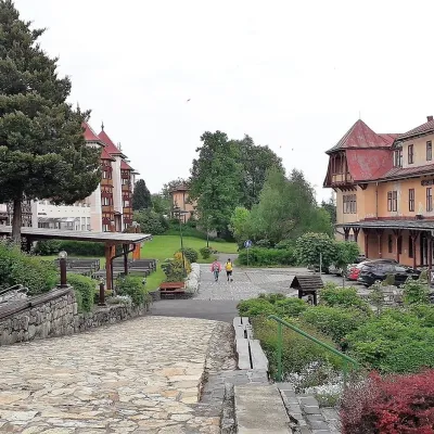 Water parks & thermal poolsClimatic spas of the High Tatras: Nový Smokovec, Polianka, KotlinaVysoké Tatry12 km from HavranNový Smokovec is the best known of the climatic spas of the High Tatras. It grew up in a spruce forest at about 1010 m, south-west of Starý Smokovec, with which it...
 Cheese dairies & pasturesFurtek's Shepherd's Huts, Kuźnice and KalatówkiZakopane16 km from HavranAbove Kuźnice — the southern edge of Zakopane where most hikes into the Western and High Tatras begin — the flocks are tended by baca Andrzej Staszel, nicknamed "Furtek".
