Hlúpy
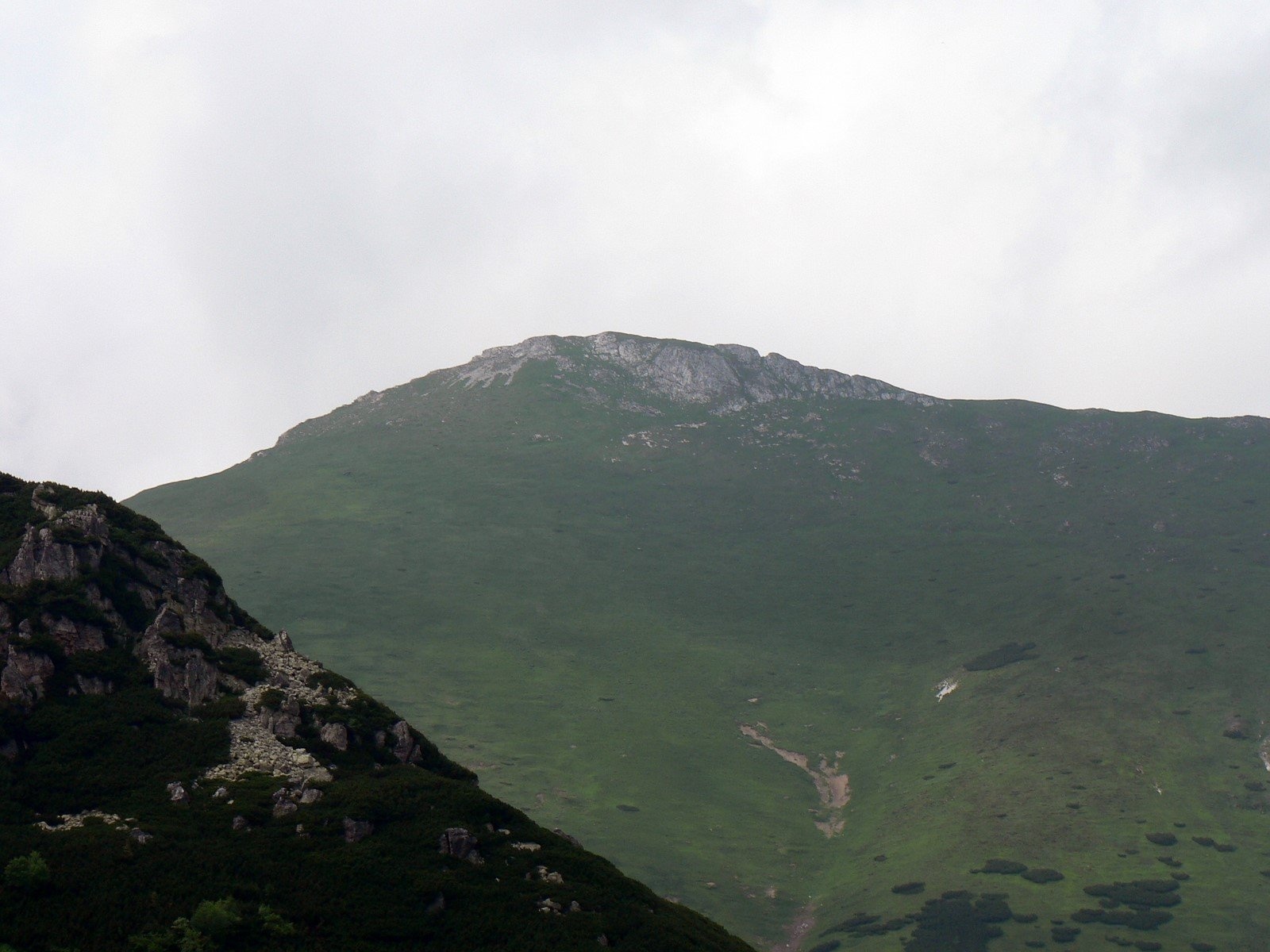
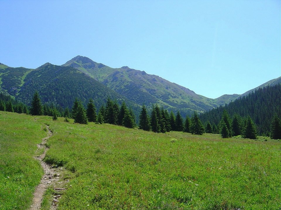
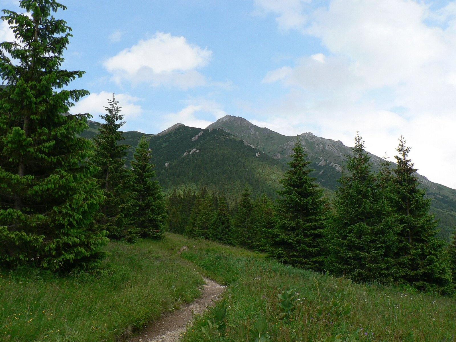
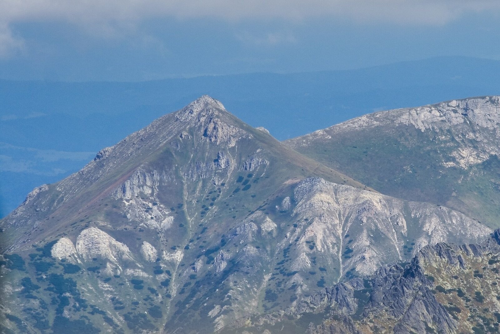
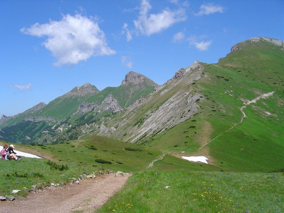
Hlúpy (also Šialený vrch, "Crazy Peak"; Polish Szalony Wierch; German Törichter Gern) is a 2061 m summit in the Slovak Belianske Tatras and the third highest of this limestone range. It rises above the village of Ždiar, about 18 km north-west of Kežmarok, within the town of Vysoké Tatry in Poprad District of the Prešov Region. It is a junction peak: this is where the ridge of the Belianske Tatras meets the ridge of the High Tatras.
Hlúpy lies in the middle part of the main ridge of the Belianske Tatras, between Ždiarska vidla (2142 m), separated by the Široké sedlo saddle, and Zadné Jatky (2020 m), beyond the Šialené sedlo saddle. To the south the ridge drops to Kopské sedlo (1749 m), which divides the Belianske and the High Tatras. The western slopes drain through the Zadné Meďodoly valley to the Javorinka in the Dunajec basin, the northern ones through Monkova dolina and the south-eastern ones through Predné Meďodoly to the Poprad river.
How to get there / routes
The summit itself is off limits. Hlúpy lies within the Belianske Tatry national nature reserve of the Tatra National Park (TANAP), under strict protection, and has been closed to visitors since 1978. However, one of the few marked routes of the Belianske Tatras runs across its slopes.
- Red trail (Monkova dolina educational trail) – from Ždiar up Monkova dolina to Široké sedlo, then along the western and southern slopes of Hlúpy to Kopské sedlo: about 8.4 km, roughly 1075 m of ascent, about 3 h 55 min.
- At Kopské sedlo the red trail crosses the blue one from Tatranská Javorina through Zadné Meďodoly to Tatranské Matliare.
The trail is seasonal, and the Monkova dolina section has been closed in some years because of damage, so check the current status on the TANAP website before you go.
What you can see from the top
The summit is covered only by low vegetation. From here you can see part of the main ridge of the Belianske Tatras and many High Tatra peaks and, in good visibility, the Volovské vrchy, Branisko, Bachureň, Čergov, the Levoča Hills, the Pieniny, Spišská Magura and the hills of southern Poland. Similar views open from the Široké and Kopské saddles reached by the trail.
Nature and history
The mountain is built of limestone, yet there are hardly any karst features on it. On the main ridge, about 380 m north-east of the summit, lies the Priepasť na Hlúpom cave – of tectonic, not karst origin. The largest gully is the Hlúpy gully dropping into Zadné Meďodoly.
Shepherds, and later tourists and scientists, probably climbed the easy grassy top since early times. The first winter ascent was made in 1910 by Gyula Hefty, Ernő Kaczander and István Laufer. The name is most likely a mocking one – shepherds gave such nicknames to steep peaks that were tiring to climb. Another theory holds that the original Zipser German name Ternichter Gern meant a "hidden wedge", because the mountain was often hidden in the clouds.
At the end of the Second World War German soldiers built a bunker on the ridge with a telephone line to Tatranská Javorina, but no fighting ever took place here.
Safety, season and rules
The trail runs high above the tree line, so from 1 November to 31 May it is closed as part of TANAP's seasonal closure of high-mountain routes. Do not leave the marked path: the whole massif is a strictly protected reserve and offenders face fines. In the Slovak mountains help comes from the Mountain Rescue Service HZS: 18 300 (+421 18 300) or 112.
Interesting facts
- Polish shepherds called the mountain the "Silly Peak", Slovak ones the "Crazy Peak"; both names are still in use.
- Hlúpy is one end of the shared section of the main ridges of the Tatras and the Belianske Tatras; the other end is Havran.
Photos: Krzysztof Dudzik-Górnicki (User:ToSter), CC BY 3.0; Kristo, CC BY-SA 3.0; Krzysztof Dudzik-Górnicki (User:ToSter), CC BY-SA 4.0; Adrian Tync, CC BY-SA 4.0; Kristo, CC BY-SA 3.0; Rafał Kozubek, CC BY-SA 4.0 — Wikimedia Commons.
Getting there from Ukraine
Border crossings
- Uzhhorod – Vyšné Nemecké — road, 24/7
- Malyi Bereznyi – Ubľa — road, 24/7 For cars and buses; pedestrians not confirmed by the Ukrainian border service, lorries up to 3.5 t.
- Mali Selmentsi – Veľké Slemence (pedestrian) — pedestrian, 09:00–21:00 Kyiv time Pedestrians and cyclists only; inconvenient for the Tatras without onward transport.
- Chop – Čierna nad Tisou (rail) — rail, 24/7
By car
Uzhhorod – Poprad ≈195 km, ≈2 h 55 min without queues: Uzhhorod – Vyšné Nemecké checkpoint → I/19 via Sobrance and Michalovce → Košice → D1 motorway via Prešov → Poprad (Liptovský Mikuláš is ≈56 km further on the D1, total ≈249 km). Košice – Poprad ≈112 km. The D1 requires an e-vignette (eznamka.sk). Note: from Lviv the fastest way to Poprad is through Poland — Krakovets – A4 – Kraków – Zakopane – Łysa Polana ≈468 km (≈5 h 50 min); via Uzhok and Malyi Bereznyi ≈419 km but slower (≈6 h 40 min). Zakopane – Poprad ≈69 km, Zakopane – Liptovský Mikuláš ≈80 km.
Checked 23.10.2026; border crossing hours and timetables change — check before you travel.
Location on the map
Water and shelter nearby
- Spring below Skorušová kôpka2.1 km · Not verified · 1 390 m
- Linda Spring2.3 km · Not verified · 1 585 m
- Spring below Gáflovka2.5 km · Not verified · 1 277 m
- Spring below Stará Javorinka2.7 km · Not verified · 1 416 m
- Spring below Javorinka Pass (south-west slope), 1 212 m2.9 km · Not verified · 1 212 m
- Spring below Štefan2.9 km · Not verified · 1 322 m
- Spring below Javorinka Pass (south-west slope), 1 242 m2.9 km · Not verified · 1 242 m
- Green Tarn Hut3 km · Standing · 1 550 m
Comments
Trails nearby
All trails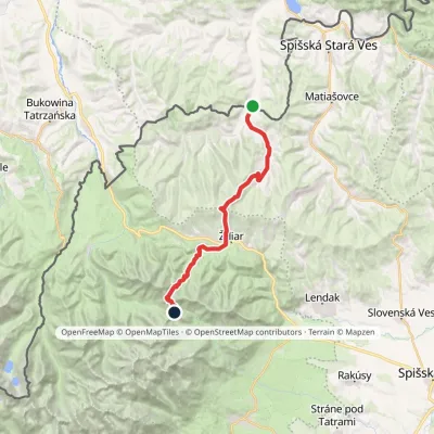 HardTwo-dayMarkedTatranská magistrála (Tatra Highway)Elevation profile613–1 933 m21.2 kmascent 1 744 m≈ 9 h walkingunder 1 km from Hlúpy
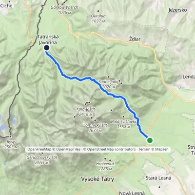 ModerateTwo-dayMarkedTatranské Matliare Tatranská JavorinaElevation profile885–1 779 m17.9 kmascent 894 m≈ 6.5 h walkingunder 1 km from Hlúpy
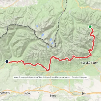 HardMulti-dayMarkedTatranská magistrála (Tatra Highway): Podbanské Veľké Biele plesoElevation profile929–2 043 m50.1 kmascent 1 639 munder 1 km from Hlúpy
Nearby attractions
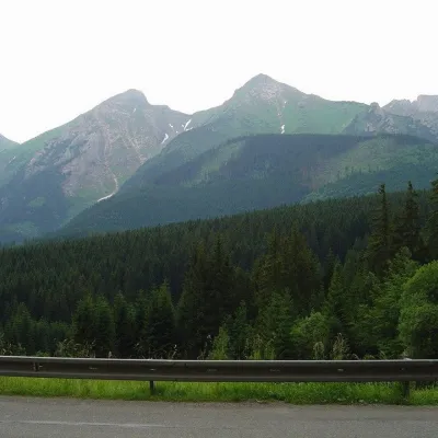 PeakŽdiarska vidlaKežmarské Žľabyaltitude 2 142 m1.3 km from HlúpyŽdiarska vidla (Polish Płaczliwa Skała, German Greiner) is a 2,142 m summit, the second highest in the Belianske Tatras after neighbouring Havran (2,152 m).
 LakeBiele plesá (White Tarns)Kežmarské Žľaby1.8 km from HlúpyBiele plesá (the White Tarns) are a group of nine small lakes in Dolina Bielych plies in the north-east of the High Tatras, in the Tatra National Park (TANAP).
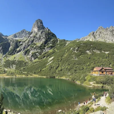 LakeZelené pleso (Kežmarské)Kežmarské Žľaby3 km from HlúpyZelené pleso, often called Kežmarské Zelené pleso, is a moraine lake in the Dolina Zeleného plesa valley in the north-east of the High Tatras, at 1,545 m.
Craft nearby
All craft places Cheese dairies & pasturesShepherd's Hut on Rusinowa PolanaBrzegi9.9 km from HlúpyRusinowa Polana is one of the most beautiful mountain glades in the Polish Tatras, and from May to October it is home to the bacówka (shepherd's hut) of baca Stanisław...
 Water parks & thermal poolsClimatic spas of the High Tatras: Nový Smokovec, Polianka, KotlinaVysoké Tatry11 km from HlúpyNový Smokovec is the best known of the climatic spas of the High Tatras. It grew up in a spruce forest at about 1010 m, south-west of Starý Smokovec, with which it...
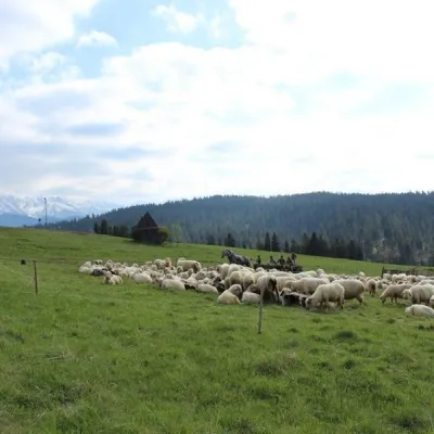 Cheese dairies & pasturesU Jancoka Shepherd's Hut, Brzegi: oscypek from Poland's first female bacaBrzegi12 km from HlúpyThe U Jancoka shepherd's hut (bacówka) stands beside regional road 960, which runs from Bukowina Tatrzańska to the Łysa Polana border crossing, in the village of Brzegi.
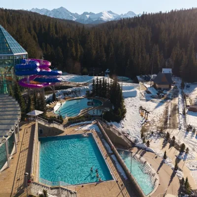 Water parks & thermal poolsTermy BukovinaBukowina Tatrzańska13 km from HlúpyTermy Bukovina is a modern thermal pool complex in Bukowina Tatrzańska, a village lying about a thousand metres above sea level on the edge of the Tatra National Park.
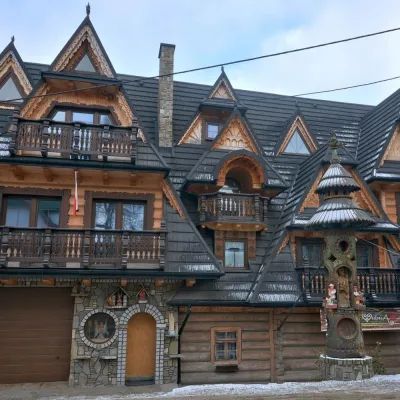 Crafts & workshopsDrewutnia, Bukowina Tatrzańska: glass painting workshops and highland furnitureBukowina Tatrzańska14 km from HlúpyDrewutnia ("the woodshed") calls itself a "shop for cultural needs". It is the family business of the Kuchtas of Bukowina Tatrzańska, who say they have lived here...
 Cheese dairies & pasturesFurtek's Shepherd's Huts, Kuźnice and KalatówkiZakopane18 km from HlúpyAbove Kuźnice — the southern edge of Zakopane where most hikes into the Western and High Tatras begin — the flocks are tended by baca Andrzej Staszel, nicknamed "Furtek".
