Ždiarska vidla
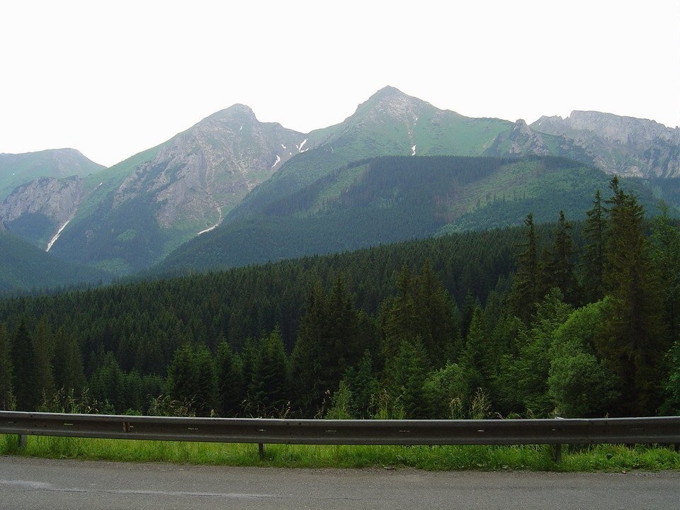
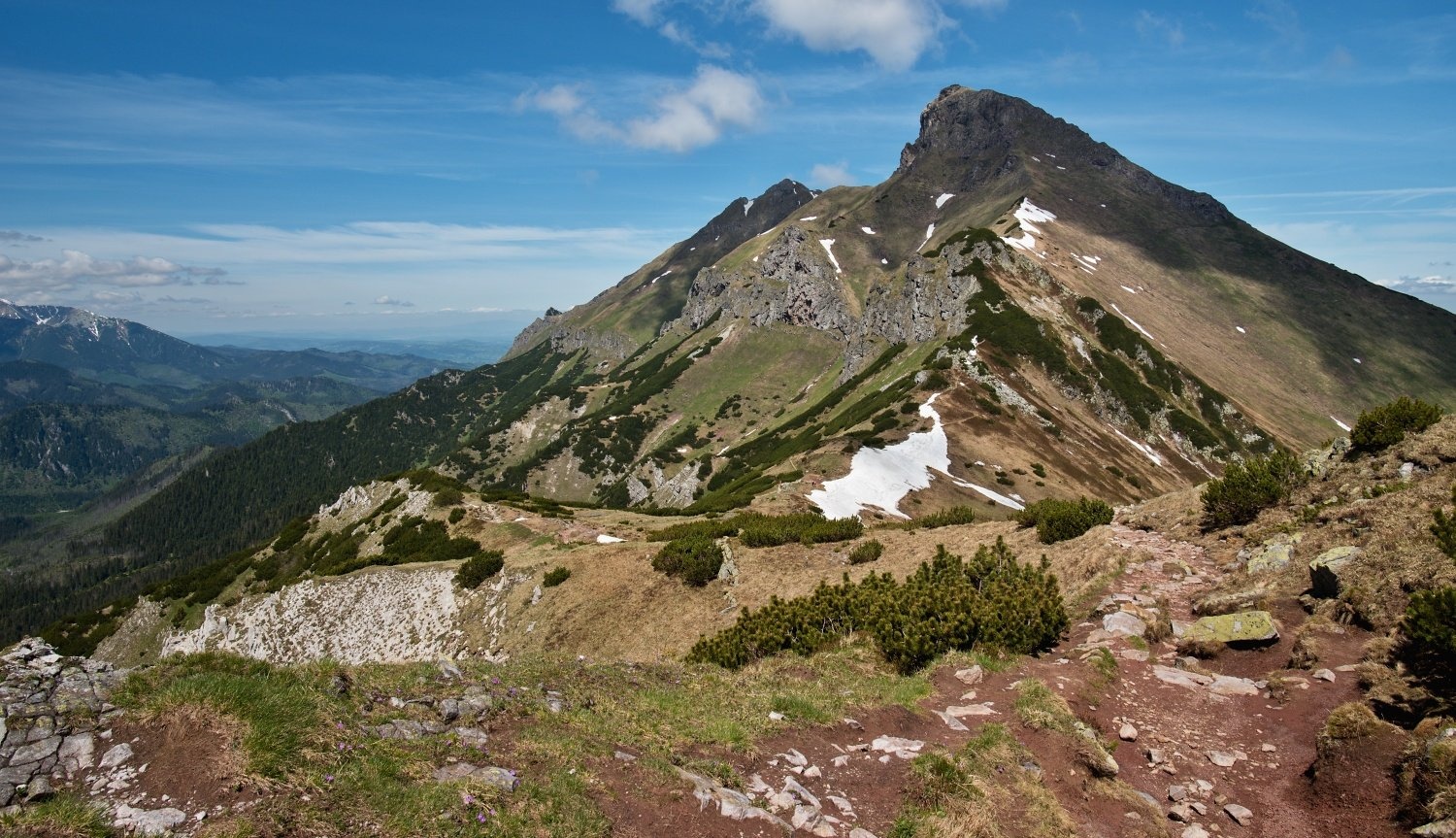
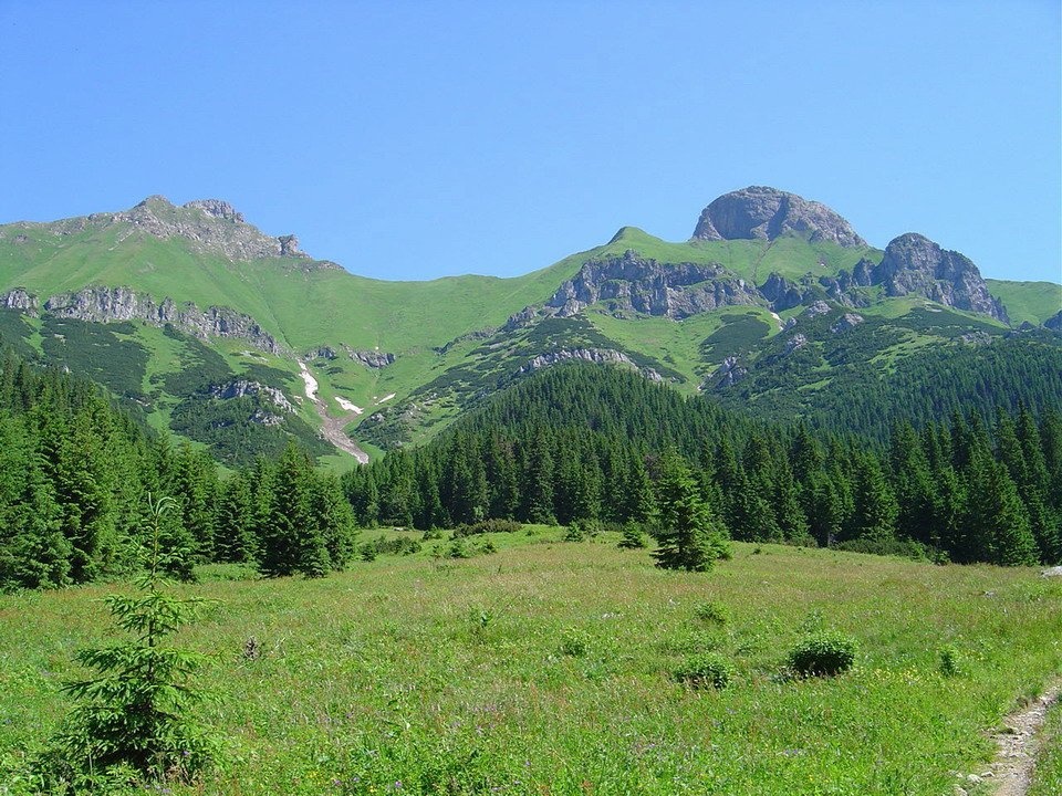
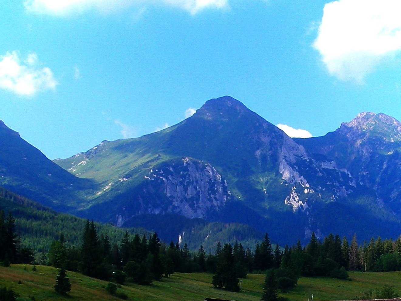
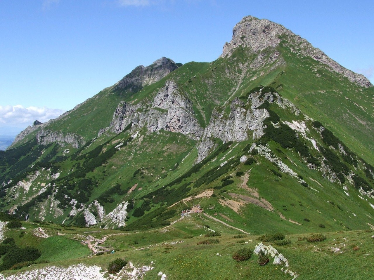
Ždiarska vidla (Polish Płaczliwa Skała, German Greiner) is a 2,142 m summit, the second highest in the Belianske Tatras after neighbouring Havran (2,152 m). It rises above the village of Ždiar, about 19 km north-west of Kežmarok, in Poprad District of the Prešov Region, and reaches into the cadastres of the town of Vysoké Tatry and of Ždiar. The nearest settlements are Tatranská Javorina to the north-west, Podspády to the north and Ždiar to the north-east. The massif lies in the Tatra National Park (TANAP) and in the Belianske Tatry National Nature Reserve with the highest, 5th degree of protection. The summit is closed to hikers – no trail has led to it since 1978.
Ždiarska vidla stands in the middle of the main Belianske ridge, between Havran to the west (separated by the Tristárske sedlo, 1,969 m) and Hlúpy (2,061 m) to the south-east, separated by the Široké sedlo (1,825 m). From the south it looks like a helmet; together with Havran, Muráň and Nový it forms a distinctive group visible from many places in the High Tatras. South of the ridge lies Zadné Meďodoly, north of it Tristárska dolina. Water drains in three directions: via the Meďodolský stream to the Javorinka and the Dunajec; the Biela river rises on the northern slopes, and its tributary the Rígeľský stream drains the eastern ones to the Poprad.
How to get there / routes
Going to the summit itself is forbidden. The closest approach is the red trail from Ždiar through Monkova dolina to the Široké sedlo, which passes the mountain on the east and continues to the Kopské sedlo on the border with the High Tatras. From Ždiar through Monkova, Do Regle and Široká dolina, over the Široké sedlo and the Szalony Przechód to the Kopské sedlo takes about 3 h 55 min (down 3 h 10 min) with 1,075 m of ascent. At the Kopské sedlo the red trail crosses the blue one from Tatranská Javorina through Zadné Meďodoly to Tatranské Matliare; from the junction below Muráň it takes 2 h 30 min (down 2 h) to the Kopské sedlo. Both trails give the best views of Ždiarska vidla, and it is seen even better from Jahňací štít.
What you can see from the summit
The summit is covered only with low vegetation. From it you can see part of the main Belianske ridge and many High Tatra summits – especially the Lomnica and Ľadový štít massifs – and in good weather also the Volovské vrchy, Branisko, Bachureň, Čierna hora, Čergov, the Levoča hills, the Pieniny, the Spiš Magura, the Orava Beskids and the mountains of southern Poland. In 1904 the panorama from the summit was painted by Theodor Compton, known for his Alpine landscapes.
Nature and history
The mountain is built of Jurassic limestones, the summit itself of marls; the type section of the so-called Ždiar Formation was described on its northern slopes. The slopes of Ždiarska vidla are a refuge for chamois, and the protection of plants and animals, above all chamois, was the reason for closing the trail.
The name was given by the people of Ždiar: to them this summit and Havran (once called Panská vidla) formed a two-pronged pitchfork. Locally it was also called the Weeping Rock – because of springs whose water “weeps” down the slopes after rain, or, by other explanations, because of the “crying” wind heard by shepherds or the dark streaks on the pale wall that look like tears. The German name Greuner (today Greiner, “the weeper”) appears as early as 1644. The yellow trail from the Široké sedlo to the summit was opened by the Hungarian Carpathian Society in 1898 and closed in 1978. The first winter ascent was made by Hungarian climbers in 1913. In 2004 Ždiar, despite TANAP's negative opinion, obtained the environment ministry's consent to reopen the trail, but two years later the decision was found invalid because of a procedural breach.
Safety, season and rules
Leaving the marked trails in the Belianske Tatry reserve is forbidden and can be fined. TANAP's high-mountain trails are closed from 1 November to 31 May, so plan the red trail over the Široké sedlo for summer and early autumn. Mountain Rescue Service HZS: 18 300 (+421 18 300) or 112.
Interesting facts
- Measurements differ: Slovak geodesy gives 2,141.6 m, older Polish sources 2,146 m and 2018 lidar data 2,145.4 m.
- In 1893 Walery Eljasz-Radzikowski considered Ždiarska vidla the highest summit of the Belianske Tatras.
Photos: Kristo, CC BY-SA 3.0; Radek David, CC BY-SA 4.0; Kristo, CC BY-SA 3.0; Ing.Mgr.Jozef Kotulič, CC BY-SA 4.0; Jerzy Opioła, CC BY-SA 4.0 — Wikimedia Commons.
Getting there from Ukraine
Border crossings
- Uzhhorod – Vyšné Nemecké — road, 24/7
- Malyi Bereznyi – Ubľa — road, 24/7 For cars and buses; pedestrians not confirmed by the Ukrainian border service, lorries up to 3.5 t.
- Mali Selmentsi – Veľké Slemence (pedestrian) — pedestrian, 09:00–21:00 Kyiv time Pedestrians and cyclists only; inconvenient for the Tatras without onward transport.
- Chop – Čierna nad Tisou (rail) — rail, 24/7
By car
Uzhhorod – Poprad ≈195 km, ≈2 h 55 min without queues: Uzhhorod – Vyšné Nemecké checkpoint → I/19 via Sobrance and Michalovce → Košice → D1 motorway via Prešov → Poprad (Liptovský Mikuláš is ≈56 km further on the D1, total ≈249 km). Košice – Poprad ≈112 km. The D1 requires an e-vignette (eznamka.sk). Note: from Lviv the fastest way to Poprad is through Poland — Krakovets – A4 – Kraków – Zakopane – Łysa Polana ≈468 km (≈5 h 50 min); via Uzhok and Malyi Bereznyi ≈419 km but slower (≈6 h 40 min). Zakopane – Poprad ≈69 km, Zakopane – Liptovský Mikuláš ≈80 km.
Checked 23.10.2026; border crossing hours and timetables change — check before you travel.
Location on the map
Water and shelter nearby
- Spring below Stará Javorinka1.6 km · Not verified · 1 416 m
- Spring below Skorušová kôpka1.7 km · Not verified · 1 390 m
- Spring below Štefan2.2 km · Not verified · 1 322 m
- Spring below Veľký Baboš (east slope), 1 257 m2.8 km · Not verified · 1 257 m
Comments
Trails nearby
All trails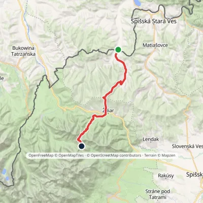 HardTwo-dayMarkedTatranská magistrála (Tatra Highway)Elevation profile613–1 933 m21.2 kmascent 1 744 m≈ 9 h walkingunder 1 km from Ždiarska vidla
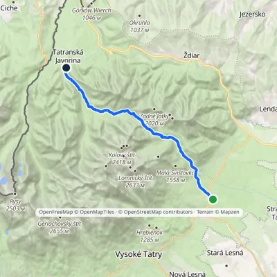 ModerateTwo-dayMarkedTatranské Matliare Tatranská JavorinaElevation profile885–1 779 m17.9 kmascent 894 m≈ 6.5 h walkingunder 1 km from Ždiarska vidla
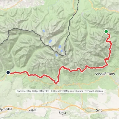 HardMulti-dayMarkedTatranská magistrála (Tatra Highway): Podbanské Veľké Biele plesoElevation profile929–2 043 m50.1 kmascent 1 639 m2 km from Ždiarska vidla
Nearby attractions
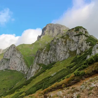 PeakHavranTatranská Javorinaaltitude 2 152 munder 1 km from Ždiarska vidlaHavran (Polish Hawrań, German Rabenstein) is the highest peak of the Belianske Tatras at 2,152 m and at the same time the highest limestone summit of the entire Tatras.
 LakeBiele plesá (White Tarns)Kežmarské Žľaby3.1 km from Ždiarska vidlaBiele plesá (the White Tarns) are a group of nine small lakes in Dolina Bielych plies in the north-east of the High Tatras, in the Tatra National Park (TANAP).
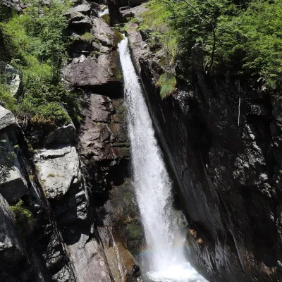 WaterfallObrovský vodopád (Giant Waterfall)Starý Smokovec8.3 km from Ždiarska vidlaObrovský vodopád (Polish Wodospad Olbrzymi, German Riesenwasserfall – the "Giant Waterfall") is one of the most powerful and photogenic waterfalls of the Slovak High...
Craft nearby
All craft places Cheese dairies & pasturesShepherd's Hut on Rusinowa PolanaBrzegi8.7 km from Ždiarska vidlaRusinowa Polana is one of the most beautiful mountain glades in the Polish Tatras, and from May to October it is home to the bacówka (shepherd's hut) of baca Stanisław...
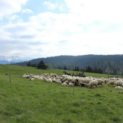 Cheese dairies & pasturesU Jancoka Shepherd's Hut, Brzegi: oscypek from Poland's first female bacaBrzegi11 km from Ždiarska vidlaThe U Jancoka shepherd's hut (bacówka) stands beside regional road 960, which runs from Bukowina Tatrzańska to the Łysa Polana border crossing, in the village of Brzegi.
 Water parks & thermal poolsClimatic spas of the High Tatras: Nový Smokovec, Polianka, KotlinaVysoké Tatry12 km from Ždiarska vidlaNový Smokovec is the best known of the climatic spas of the High Tatras. It grew up in a spruce forest at about 1010 m, south-west of Starý Smokovec, with which it...
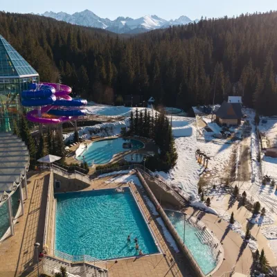 Water parks & thermal poolsTermy BukovinaBukowina Tatrzańska12 km from Ždiarska vidlaTermy Bukovina is a modern thermal pool complex in Bukowina Tatrzańska, a village lying about a thousand metres above sea level on the edge of the Tatra National Park.
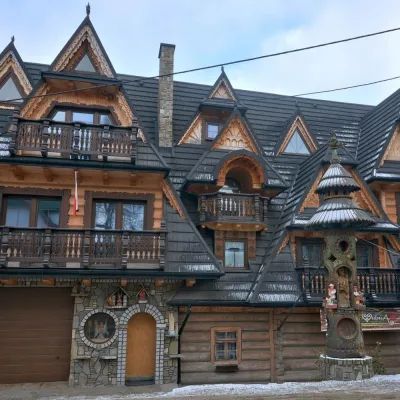 Crafts & workshopsDrewutnia, Bukowina Tatrzańska: glass painting workshops and highland furnitureBukowina Tatrzańska13 km from Ždiarska vidlaDrewutnia ("the woodshed") calls itself a "shop for cultural needs". It is the family business of the Kuchtas of Bukowina Tatrzańska, who say they have lived here...
 Cheese dairies & pasturesFurtek's Shepherd's Huts, Kuźnice and KalatówkiZakopane17 km from Ždiarska vidlaAbove Kuźnice — the southern edge of Zakopane where most hikes into the Western and High Tatras begin — the flocks are tended by baca Andrzej Staszel, nicknamed "Furtek".
