Jahňací štít
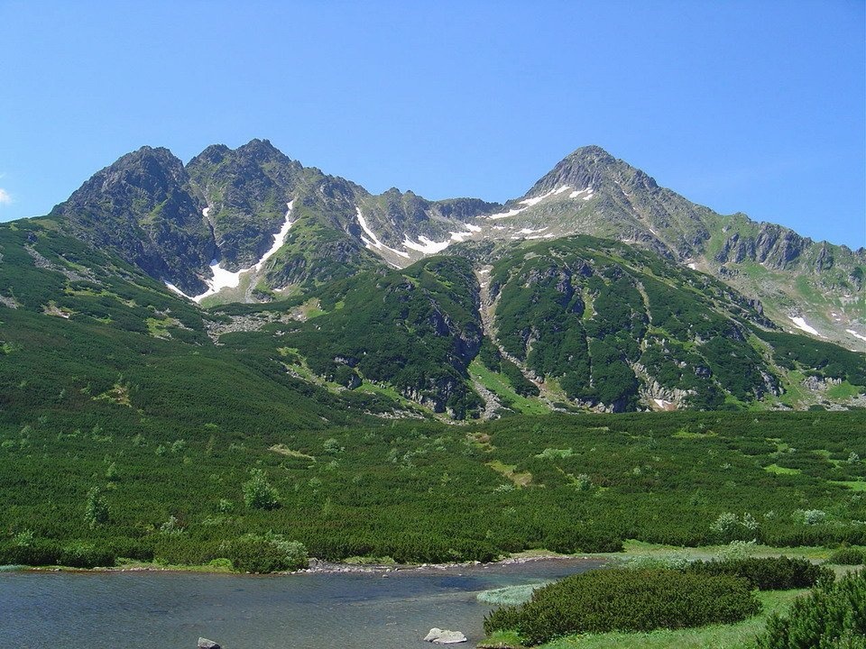
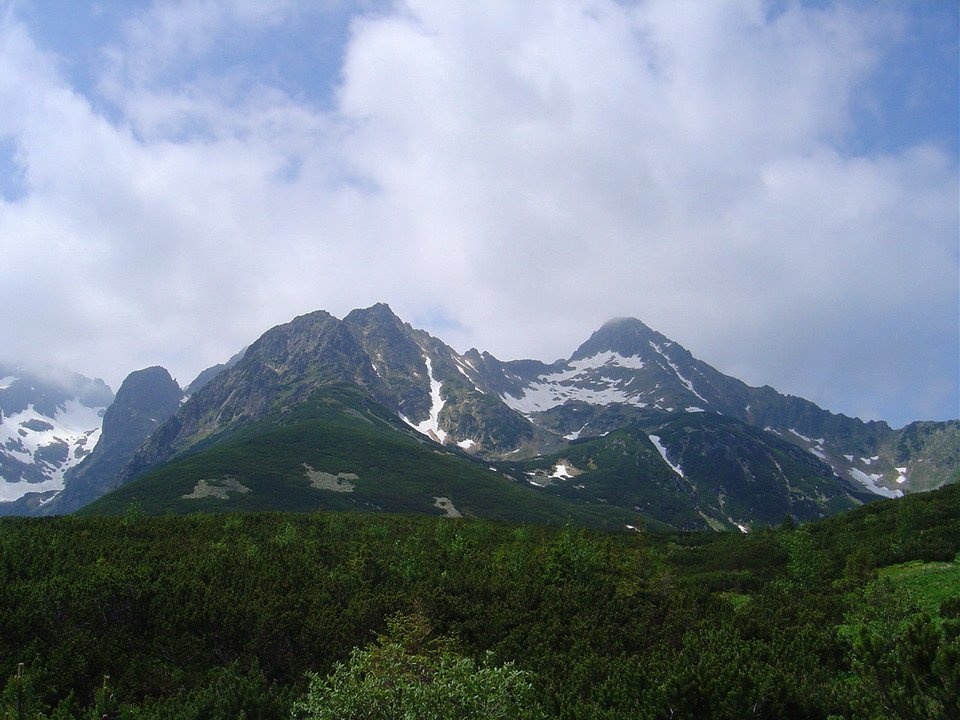
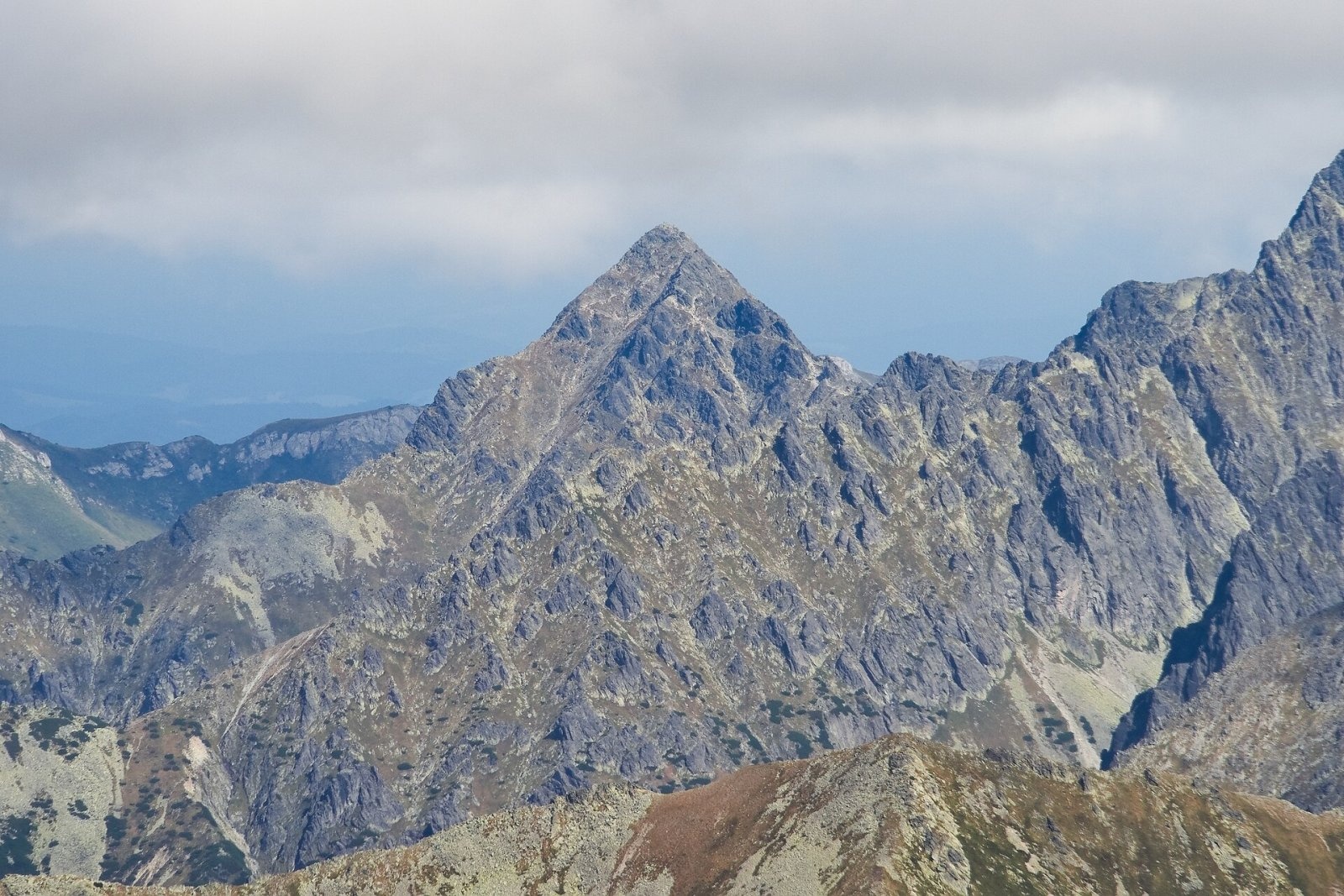
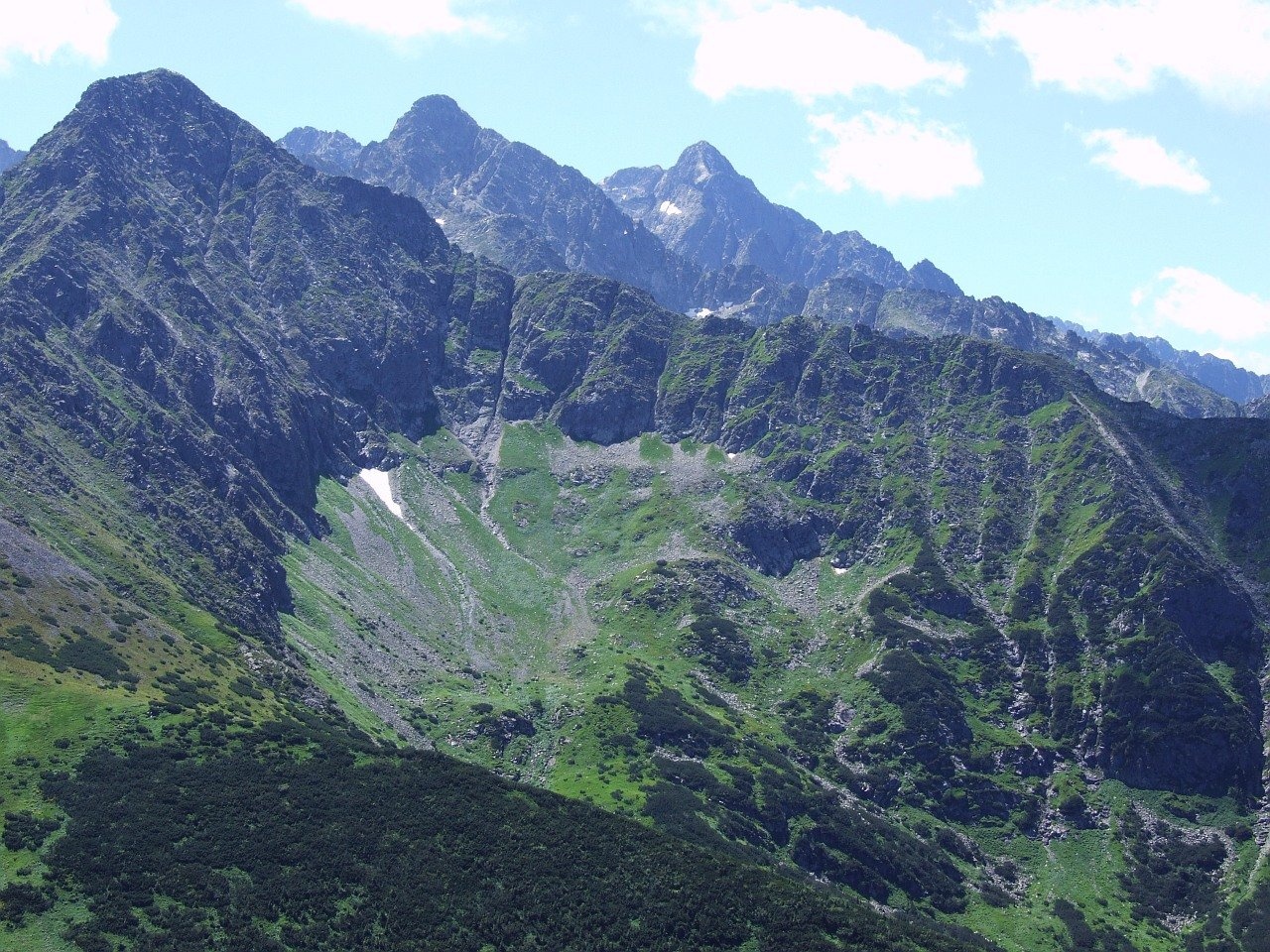
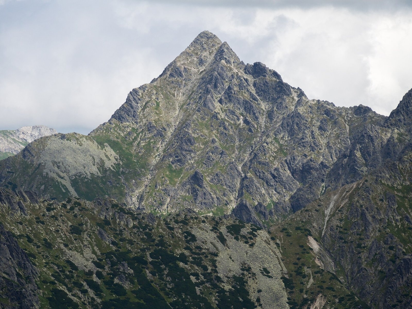
Jahňací štít (Polish Jagnięcy Szczyt) is a peak 2230 m high (more precisely 2229.6 m) in the High Tatras of Slovakia. It is the north-easternmost massif of the High Tatras main ridge: beyond the Kopské sedlo saddle the Belianske Tatras begin. The peak rises above the resort of Tatranské Matliare, about 17 km north-west of Kežmarok; to the south-east, in the Zelené pleso valley, stands the Chata pri Zelenom plese hut. The nearest villages are Tatranská Javorina and Ždiar (about 7 km).
The massif is a pyramid with two summits joined by an almost level ridge; the south-western one is higher. Four ridges radiate from the top, forming an almost right-angled cross: towards Kolový štít, towards Kopské sedlo, the Jahnence ridge and the Kozí hrebeň with Kozí štít. Unusually for the Tatras, every one of its ridges has its own name. The massif towers over Kolová dolina, Zadné Meďodoly, Jahňacia (Červená) dolina and the Valley of the White Tarns.
How to get there / routes
Jahňací štít is one of the few summits in the Slovak High Tatras reached by a marked trail, so it is very popular.
- Yellow trail – from Chata pri Zelenom plese through Červená (Jahňacia) dolina. Before the summit, around the Kolový priechod, the path gets harder and several exposed spots are protected by chains. About 2.5 h from the hut.
- Chata pri Zelenom plese is reached through the Kežmarská Biela voda valley from Kežmarské Žľaby, or from Skalnaté pleso over Veľká Svišťovka. From the "Kežmarská Biela voda" bus stop on Cesta slobody the whole ascent takes about 5 h 30 min (4 h 45 min down), with about 1330 m of height gain.
Take care on the descent: the path crosses to the other side of the ridge through a narrow, inconspicuous notch that is easy to miss. Many people mistakenly follow a well-trodden path further along the ridge towards Kolový štít – but there is no way down into Jahňacia dolina from there, and you have to turn back.
The view from the summit
The view is very extensive and, in the words of early guidebook authors, remarkable for its "uncommon variety of motifs". Samuel Weber wrote that 16 tarns can be seen from here. The nearby Lomnica group looks especially alpine, above all Malý Kežmarský štít, which drops into the Zelené pleso valley in walls some 900 m high. You can also see Kežmarský, Pyšný and Lomnický štít, the Belianske Tatras ridge and, in good weather, the Orava Beskids, the Levočské, Slanské and Volovské vrchy and Branisko.
Nature and history
Jahňací štít is the first granite massif of the Tatras from the north, while on the Kopský ridge the oldest sedimentary rocks of the Tatras – the so-called Koperšády conglomerate – come to the surface. The 350 m north face drops into Jahňací kotol, and climbers have put up many routes of varying difficulty on the south face.
The name is linked to lambs (jahňa) grazed on the lower slopes; another explanation is that poachers called young chamois "lambs". In the past the peak was known as Lastovica (after birds nesting on its rocks), and Robert Townson recorded it in 1793 as "White Lake Peak". The summit marked the boundary between the Javorina estate and the lands of Kežmarok and Spišská Belá, which belonged to Poland in 1412–1769; a boundary mound stood on top until the end of the 19th century. Copper was mined on the north-western ridge in the 18th century.
The first documented ascent was made on 9 August 1793 by Robert Townson and the Spiš guide Hans Gross, though shepherds, hunters and miners had been here long before. The first winter ascent took place on 3 December 1911 (Lajos Rokfalusy and Gyula Hefty). The trail to the summit was built in 1911–1912.
Safety, season and rules
- The trail lies in the high-mountain zone of the Tatra National Park (TANAP) and is closed from 1 November to 31 May; hiking is allowed only in daylight and only on marked trails. Current restrictions are on the TANAP website.
- The route is moderately difficult: the chained sections need sure footing and are dangerous when wet or snowy. Remember the trap at the notch on the way down.
- Rescue: Mountain Rescue Service HZS – 18 300 (+421 18 300), general emergency number 112.
Interesting facts
- All of Jahňací štít's ridges have their own names – a rarity in the Tatras.
- In German and Hungarian the peak is still called "White Lake Peak" (Weißseespitze, Fehér-tavi-csúcs), after Veľké Biele pleso below it.
Photos: Kristo, CC BY-SA 3.0; Kristo, CC BY-SA 3.0; Adrian Tync, CC BY-SA 4.0; Jerzy Opioła, CC BY-SA 4.0; Rafał Kozubek, CC BY-SA 4.0; Jerzy Opioła, CC BY-SA 4.0 — Wikimedia Commons.
Getting there from Ukraine
Border crossings
- Uzhhorod – Vyšné Nemecké — road, 24/7
- Malyi Bereznyi – Ubľa — road, 24/7 For cars and buses; pedestrians not confirmed by the Ukrainian border service, lorries up to 3.5 t.
- Mali Selmentsi – Veľké Slemence (pedestrian) — pedestrian, 09:00–21:00 Kyiv time Pedestrians and cyclists only; inconvenient for the Tatras without onward transport.
- Chop – Čierna nad Tisou (rail) — rail, 24/7
By car
Uzhhorod – Poprad ≈195 km, ≈2 h 55 min without queues: Uzhhorod – Vyšné Nemecké checkpoint → I/19 via Sobrance and Michalovce → Košice → D1 motorway via Prešov → Poprad (Liptovský Mikuláš is ≈56 km further on the D1, total ≈249 km). Košice – Poprad ≈112 km. The D1 requires an e-vignette (eznamka.sk). Note: from Lviv the fastest way to Poprad is through Poland — Krakovets – A4 – Kraków – Zakopane – Łysa Polana ≈468 km (≈5 h 50 min); via Uzhok and Malyi Bereznyi ≈419 km but slower (≈6 h 40 min). Zakopane – Poprad ≈69 km, Zakopane – Liptovský Mikuláš ≈80 km.
Checked 23.10.2026; border crossing hours and timetables change — check before you travel.
Location on the map
Comments
Trails nearby
All trails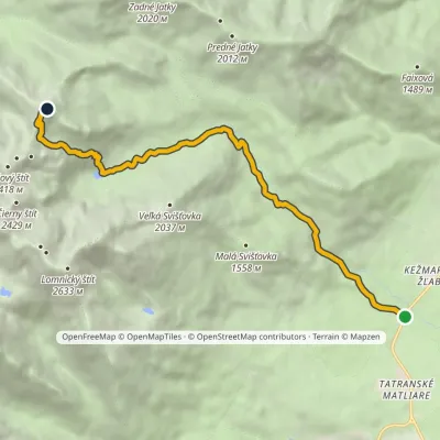 ModerateOne-dayMarkedBiela voda, car park Jahňací štítElevation profile917–2 163 m10.1 kmascent 1 237 m≈ 5 h walkingunder 1 km from Jahňací štít
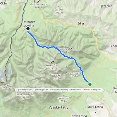 ModerateTwo-dayMarkedTatranské Matliare Tatranská JavorinaElevation profile885–1 779 m17.9 kmascent 879 m≈ 6 h walking1.2 km from Jahňací štít
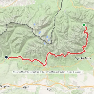 HardMulti-dayMarkedTatranská magistrála (Tatra Highway): Podbanské Veľké Biele plesoElevation profile929–2 043 m50.1 kmascent 1 603 m1.2 km from Jahňací štít
Nearby attractions
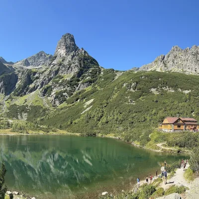 LakeZelené pleso (Kežmarské)1.4 km from Jahňací štítZelené pleso, often called Kežmarské Zelené pleso, is a moraine lake in the Dolina Zeleného plesa valley in the north-east of the High Tatras, at 1,545 m.
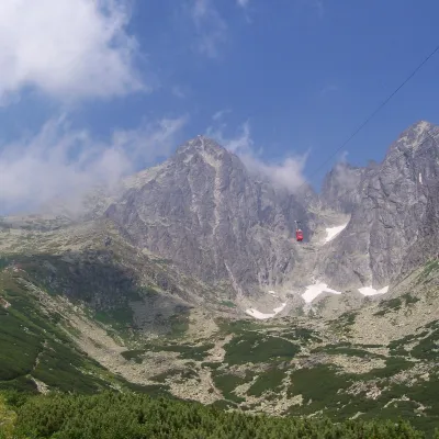 PeakLomnický štítaltitude 2 634 m2.8 km from Jahňací štítLomnický štít (Polish Łomnica, German Lomnitzer Spitze) is one of the highest and most visited peaks of the High Tatras.
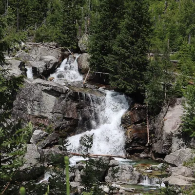 WaterfallStudený potok Waterfalls and Hrebienok6.1 km from Jahňací štítThe Studený potok waterfalls (Vodopády Studeného potoka), known in Polish literature as the Zimna Woda waterfalls, are one of the oldest tourist attractions of the...
Craft nearby
All craft places Cheese dairies & pasturesShepherd's Hut on Rusinowa Polana9.8 km from Jahňací štítRusinowa Polana is one of the most beautiful mountain glades in the Polish Tatras, and from May to October it is home to the bacówka (shepherd's hut) of baca Stanisław...
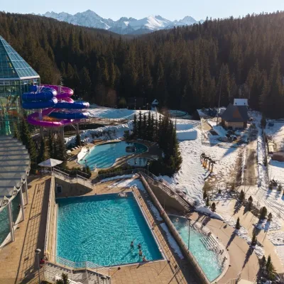 Water parks & thermal poolsTermy Bukovina14 km from Jahňací štítTermy Bukovina is a modern thermal pool complex in Bukowina Tatrzańska, a village lying about a thousand metres above sea level on the edge of the Tatra National Park.
 Cheese dairies & pasturesFurtek's Shepherd's Huts, Kuźnice and Kalatówki18 km from Jahňací štítAbove Kuźnice — the southern edge of Zakopane where most hikes into the Western and High Tatras begin — the flocks are tended by baca Andrzej Staszel, nicknamed "Furtek".
 Water parks & thermal poolsAquaCity Poprad water park19 km from Jahňací štítAquaCity Poprad is a large year-round water park and wellness complex in the town of Poprad, a few minutes from the centre; according to the complex, the High Tatras...
 Koliby & Hutsul cuisineBąkowo Zohylina Wyźnio Highland Tavern19 km from Jahňací štítBąkowo Zohylina Wyźnio is a regional highland tavern in Zakopane housed in a wooden "szałas" (shepherd-hut-style building) with a view of the Tatras.
 Water parks & thermal poolsTermy Zakopiańskie (Aqua Park Zakopane)19 km from Jahňací štítTermy Zakopiańskie is a thermal water park right in Zakopane, on Jagiellońska Street, only a kilometre from Krupówki.
