Jamské pleso
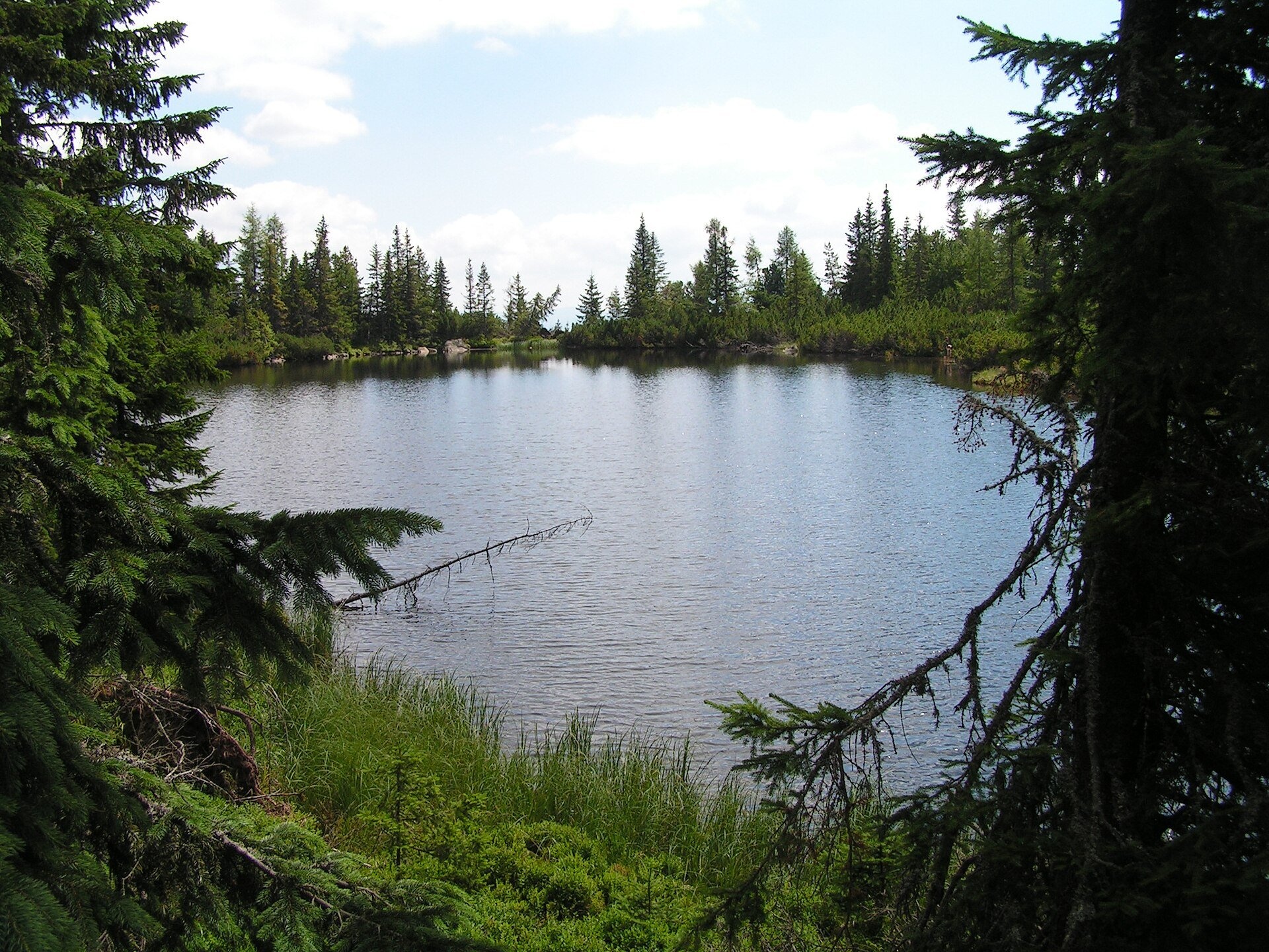
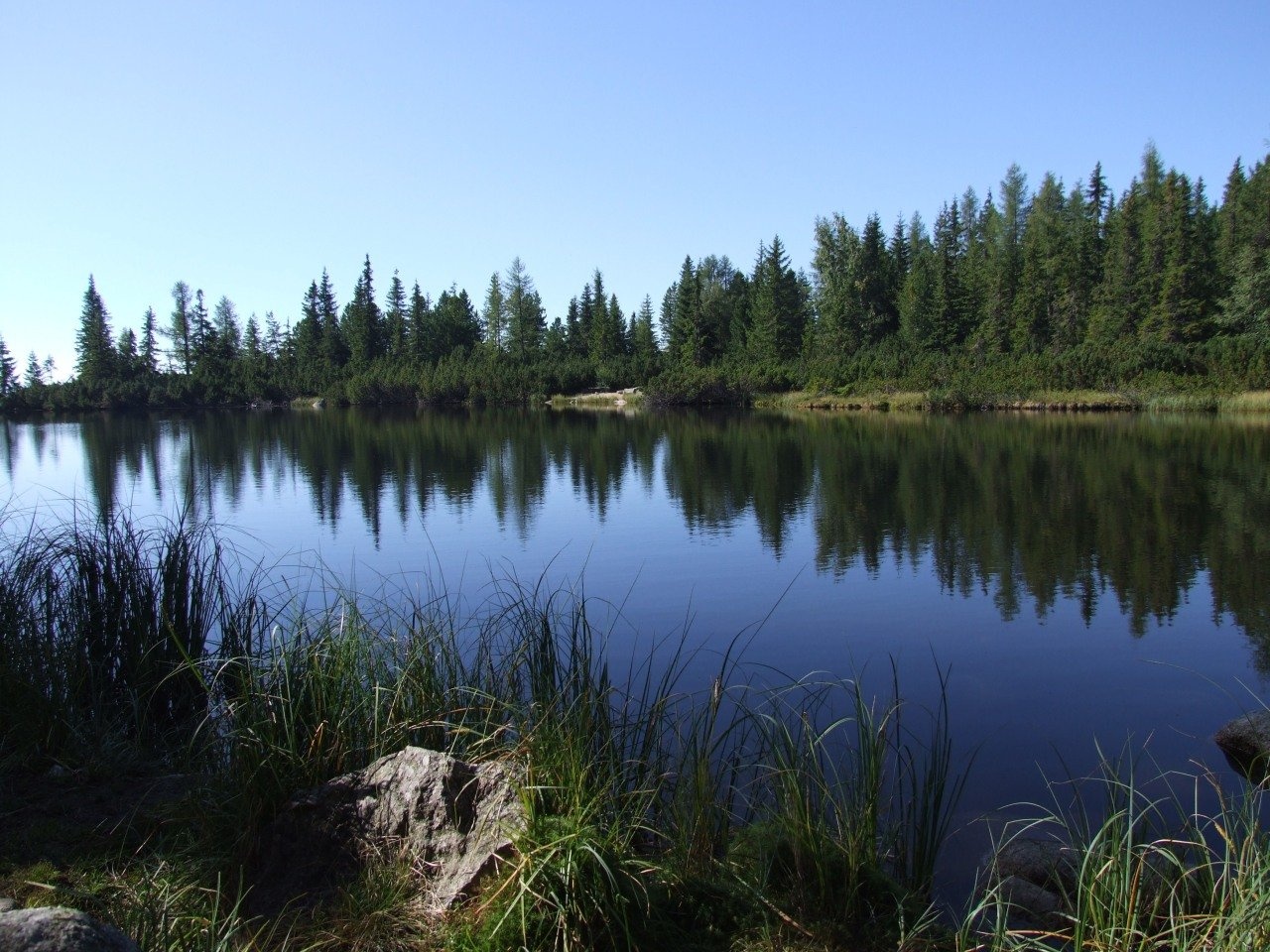
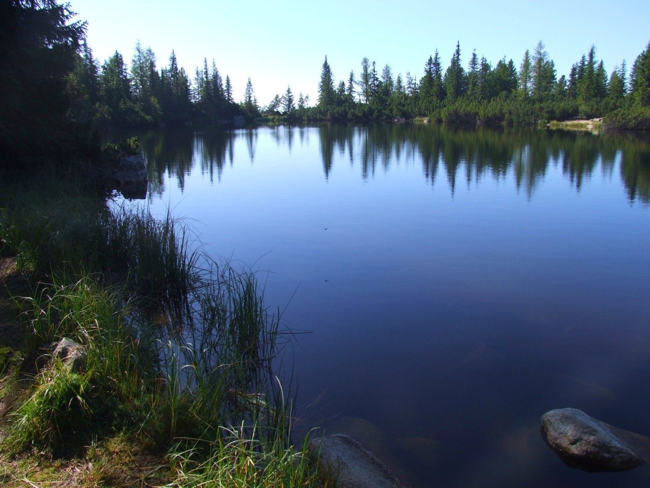
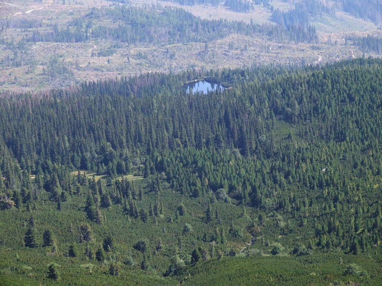
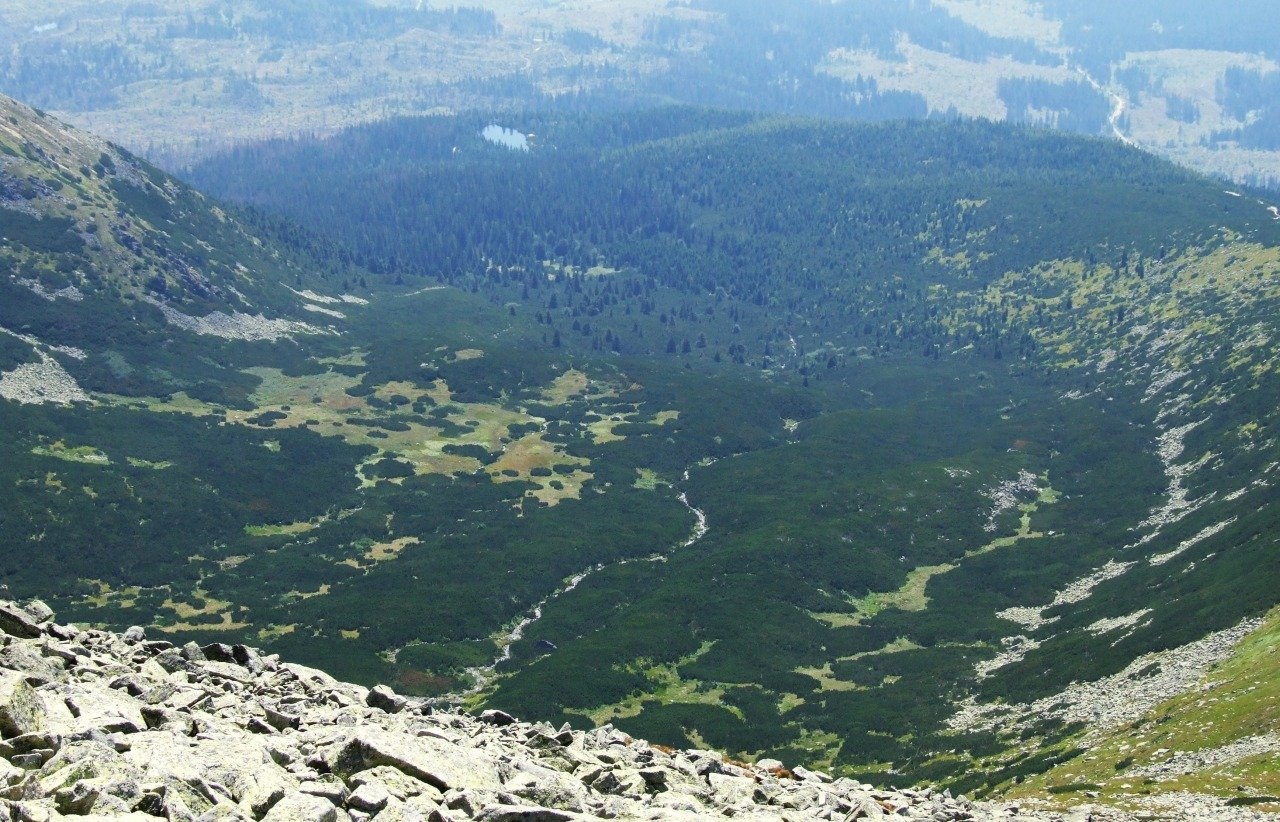
Jamské pleso is a small forest lake at the foot of Kriváň, an hour's walk west of Štrbské Pleso. It lies at 1,447 m among the massive moraine ridges of Važecká dolina, which continue the southern shoulder of Kriváň and are called Jamy — hence the name of the tarn. In the past it was also called Jamskô pleso (1911) and Kriváňske pleso (1952). The lake is part of the Važecká dolina national nature reserve in Tatra National Park (TANAP).
The tarn is small: according to measurements from 1961–1967, 0.67–0.69 ha and about 4.2 m deep; older data (before 1956) gave 0.5 ha and 5 m. The water is not very clear — about 2.5 m — but on calm days it mirrors the spruces and Swiss stone pines (limbas) around the shore. On the western shore TANAP staff planted a stone pine grove in honour of the heroes of the Slovak National Uprising.
In 1935–1943 a small private hut stood on the eastern shore, built by the well-known Slovak climber and organiser of tourism Gustáv Nedobrý (1893–1966). To attract guests he built a road to the tarn and renamed it Kriváňske pleso; according to the caption of an old 1937 postcard, there was even a swimming pool on the shore. The hut burned down in February 1943, and its remains were destroyed by retreating German troops in 1944.
What to see and do
- A quiet forest tarn — one of the few High Tatra lakes in the forest, with trees reflected in the water; a nice rest stop on the Tatranská magistrála.
- A view of Jamy and Kriváň — from the climb to Pavlov chrbát you see the tarn in the forest, the moraine ridges and the whole lower part of Važecká dolina.
- The start for Kriváň — at the junction by the lake the blue trail to the national mountain of the Slovaks begins.
How to get there
The tarn lies right on the red Tatranská magistrála (Tatra Highway): Podbanské – Veľké Biele pleso. From Štrbské Pleso (1,346 m) to Jamské pleso takes 1 h 10 min, 1 h back; the ascent is only about 100 m, so it is an easy forest walk that suits families with children too (the path is not suitable for prams). From Tri studničky along the magistrála it takes 1 h 30 min, 1 h back. Another approach is the blue trail from the Biely Váh bus stop on Cesta Slobody. From the junction by the lake the blue Biely Váh – Kriváň route climbs over Pavlov chrbát to the summit of Kriváň (2,495 m): the whole way from Biely Váh takes about 5 h up, and from Štrbské Pleso 5 h 10 min.
Season and safety
The magistrála to the tarn is open all year, so in winter you can come here on snowshoes. The blue trail from the junction by Jamské pleso to Kriváň, however, is closed from 1 November to 31 May (§ 4 of the TANAP Visitor Regulations, decree 26/2023). Entry to TANAP is free. You may walk only on marked trails and only in daylight; dogs are not allowed on the blue trail to Kriváň, and drones are banned without a permit. There is a hikers' shelter by the lake — TANAP repaired it in July 2026. Mountain Rescue Service HZS: 18 300, general emergency number 112.
Nearby
- Štrbské pleso — an hour east along the magistrála.
- Kriváň — the summit above the tarn.
- Skok Waterfall — in the neighbouring Mlynická dolina.
- Capie pleso — the largest lake of Mlynická dolina.
Official website: tanap.sk
Photos: Hugo, Public domain, Wikimedia Commons; Jerzy Opioła, CC BY-SA 4.0, Wikimedia Commons.
Getting there from Ukraine
Border crossings
- Uzhhorod – Vyšné Nemecké — road, 24/7
- Malyi Bereznyi – Ubľa — road, 24/7 For cars and buses; pedestrians not confirmed by the Ukrainian border service, lorries up to 3.5 t.
- Mali Selmentsi – Veľké Slemence (pedestrian) — pedestrian, 09:00–21:00 Kyiv time Pedestrians and cyclists only; inconvenient for the Tatras without onward transport.
- Chop – Čierna nad Tisou (rail) — rail, 24/7
By car
Uzhhorod – Poprad ≈195 km, ≈2 h 55 min without queues: Uzhhorod – Vyšné Nemecké checkpoint → I/19 via Sobrance and Michalovce → Košice → D1 motorway via Prešov → Poprad (Liptovský Mikuláš is ≈56 km further on the D1, total ≈249 km). Košice – Poprad ≈112 km. The D1 requires an e-vignette (eznamka.sk). Note: from Lviv the fastest way to Poprad is through Poland — Krakovets – A4 – Kraków – Zakopane – Łysa Polana ≈468 km (≈5 h 50 min); via Uzhok and Malyi Bereznyi ≈419 km but slower (≈6 h 40 min). Zakopane – Poprad ≈69 km, Zakopane – Liptovský Mikuláš ≈80 km.
Checked 23.10.2026; border crossing hours and timetables change — check before you travel.
Location on the map
Comments
Trails nearby
All trails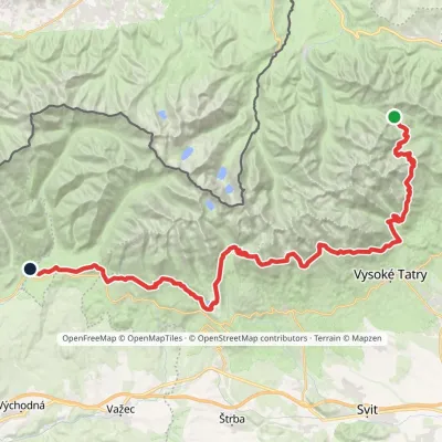 HardMulti-dayMarkedTatranská magistrála (Tatra Highway): Podbanské Veľké Biele plesoElevation profile929–2 043 m50.1 kmascent 1 639 munder 1 km from Jamské pleso
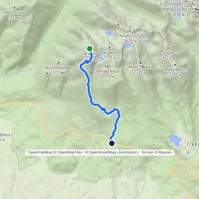 HardOne-dayMarkedBiely Váh KriváňElevation profile1 209–2 495 m7.2 kmascent 1 286 m≈ 4.5 h walkingunder 1 km from Jamské pleso
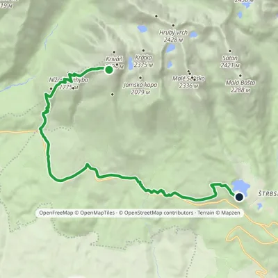 HardOne-dayMarkedŠtrbské Pleso, Solisko Sanatorium Junction in Krivánsky GullyElevation profile1 137–2 122 m14.7 kmascent 986 m≈ 5.5 h walkingunder 1 km from Jamské pleso
Nearby attractions
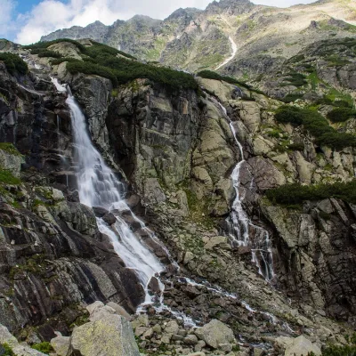 WaterfallSkok Waterfall3.3 km from Jamské plesoSkok (Vodopád Skok) is one of the most beautiful waterfalls of the Slovak Tatras. Here the Mlynica stream drops over a rock step that blocks the middle part of the...
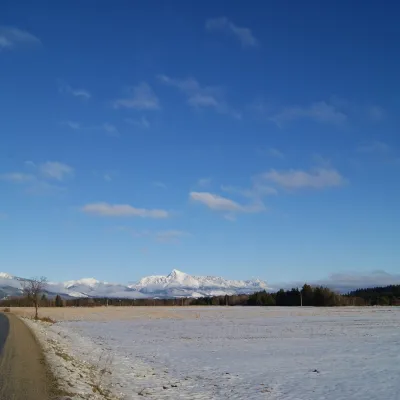 PeakKriváňaltitude 2 495 m3.4 km from Jamské pleso1 trail to the topKriváň (Polish Krywań) is a 2495 m peak (precisely 2494.7 m) in the south-western part of the High Tatras in Slovakia.
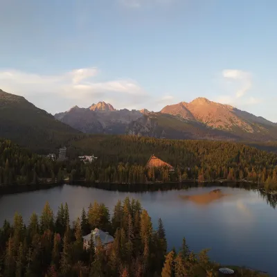 LakeŠtrbské pleso3.5 km from Jamské plesoŠtrbské pleso is the emblem of the Slovak Tatras: a large mountain lake at 1,346 m surrounded by spruce forest, hotels and High Tatra peaks.
Craft nearby
All craft places Horse ridingKone vo Východnej: horse rides below the Tatras8.1 km from Jamské plesoKone vo Východnej (“Horses in Východná”) is a small family horse farm on the meadows above the village of Východná in upper Liptov, with a sweeping view of the High...
 Eco farmsFarma Východná — organic farm below the Tatras11 km from Jamské plesoFarma Východná is the highest-lying organic farm in Liptov, at 930 m in the village of Východná right below the Tatras.
 Cheese dairies & pasturesShepherd's Hut on Rusinowa Polana16 km from Jamské plesoRusinowa Polana is one of the most beautiful mountain glades in the Polish Tatras, and from May to October it is home to the bacówka (shepherd's hut) of baca Stanisław...
 Cheese dairies & pasturesFurtek's Shepherd's Huts, Kuźnice and Kalatówki16 km from Jamské plesoAbove Kuźnice — the southern edge of Zakopane where most hikes into the Western and High Tatras begin — the flocks are tended by baca Andrzej Staszel, nicknamed "Furtek".
 Koliby & Hutsul cuisineBąkowo Zohylina Wyźnio Highland Tavern17 km from Jamské plesoBąkowo Zohylina Wyźnio is a regional highland tavern in Zakopane housed in a wooden "szałas" (shepherd-hut-style building) with a view of the Tatras.
 Cheese dairies & pasturesShepherd's Hut in the Kościeliska Valley18 km from Jamské plesoJózef Słodyczka's bacówka (shepherd's hut) on the Wyżnia Kira Miętusia glade is probably the most easily reached shepherds' hut in the Polish Tatras.
