Jamnícke plesá
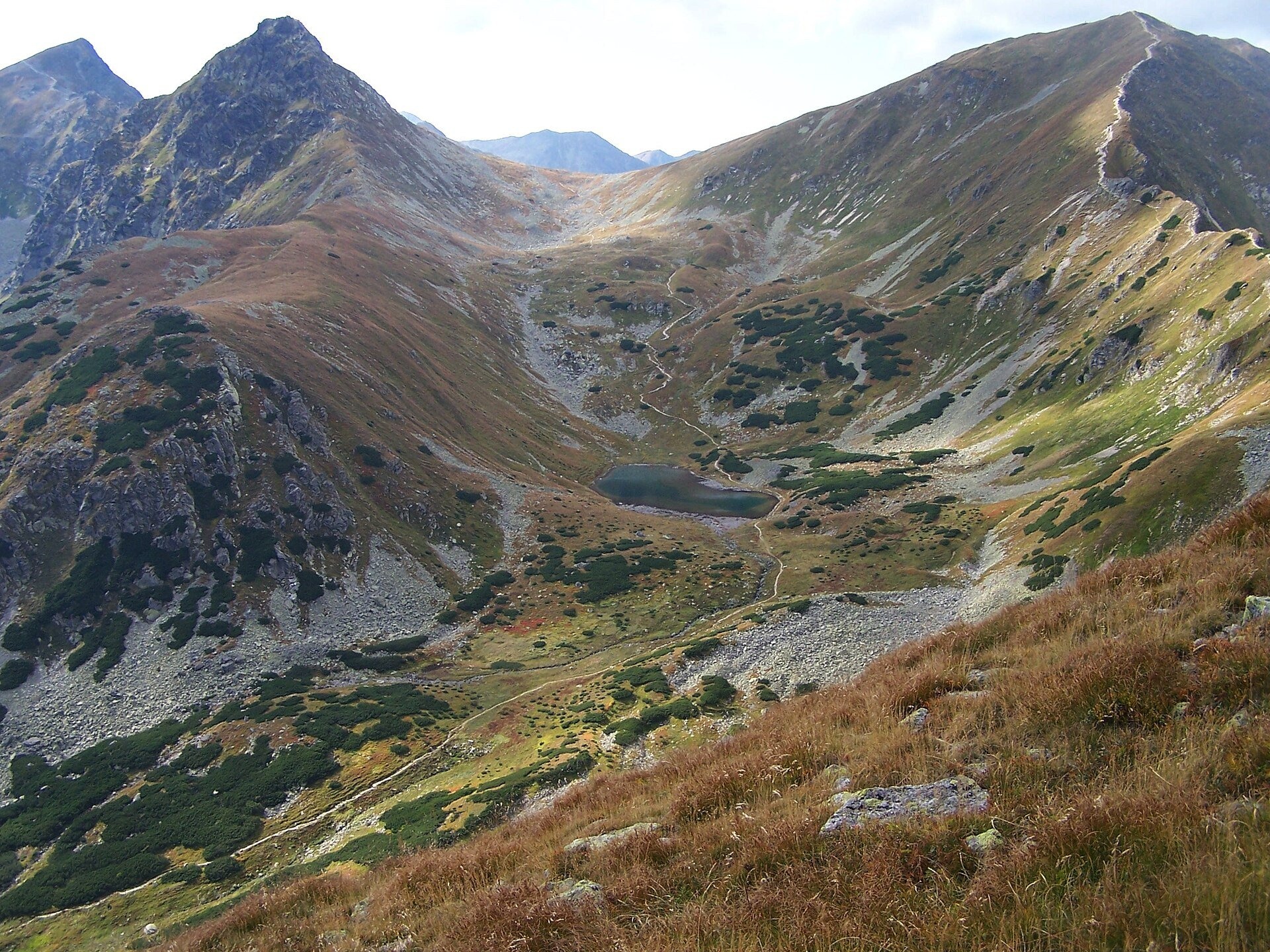
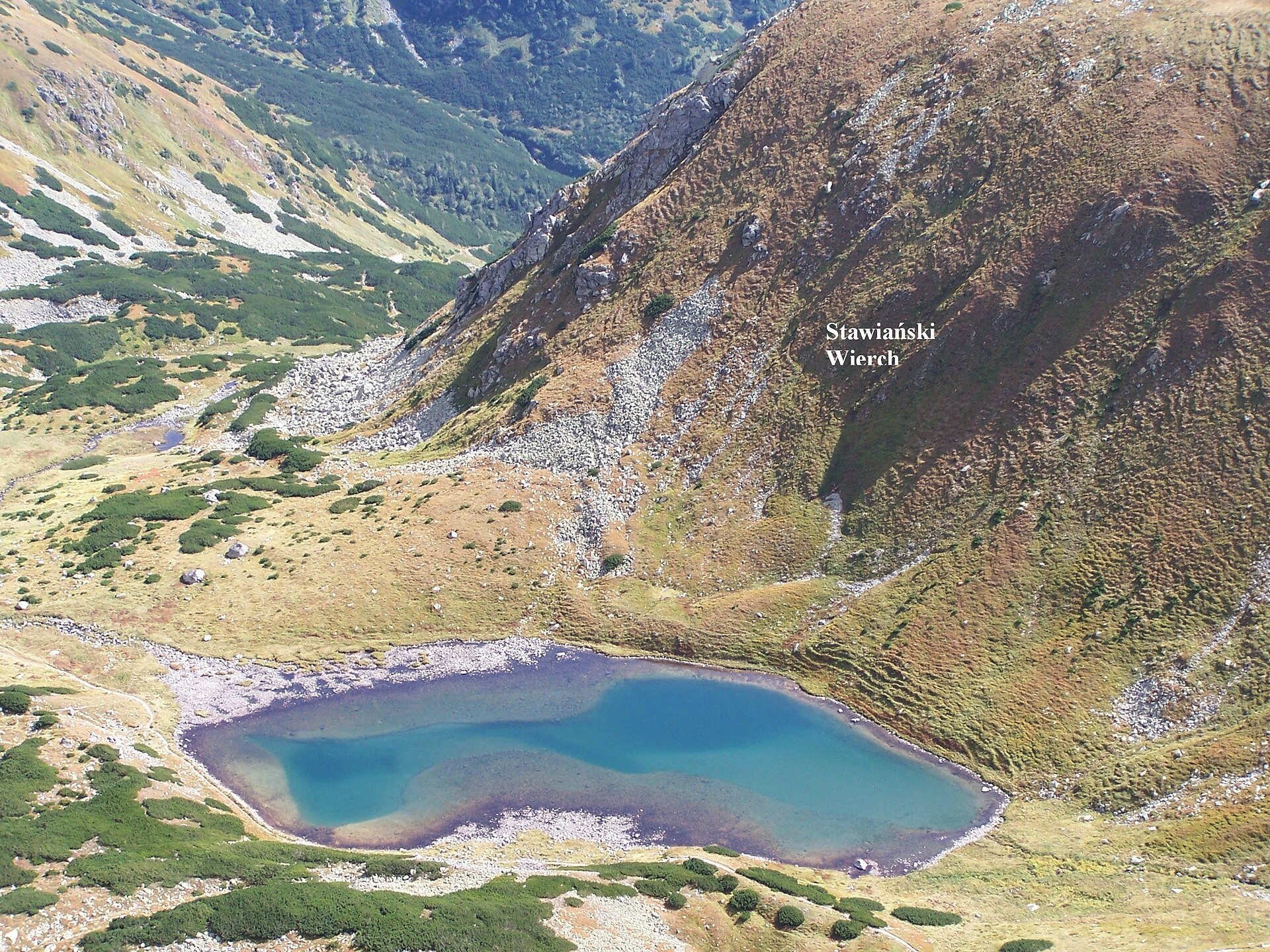
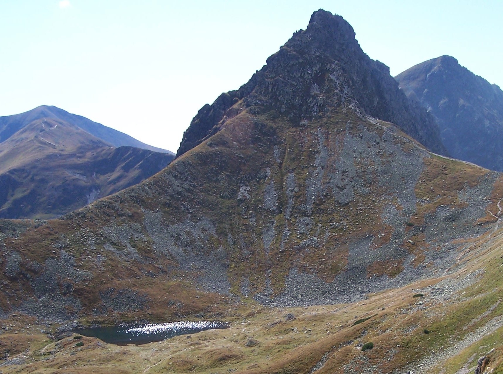
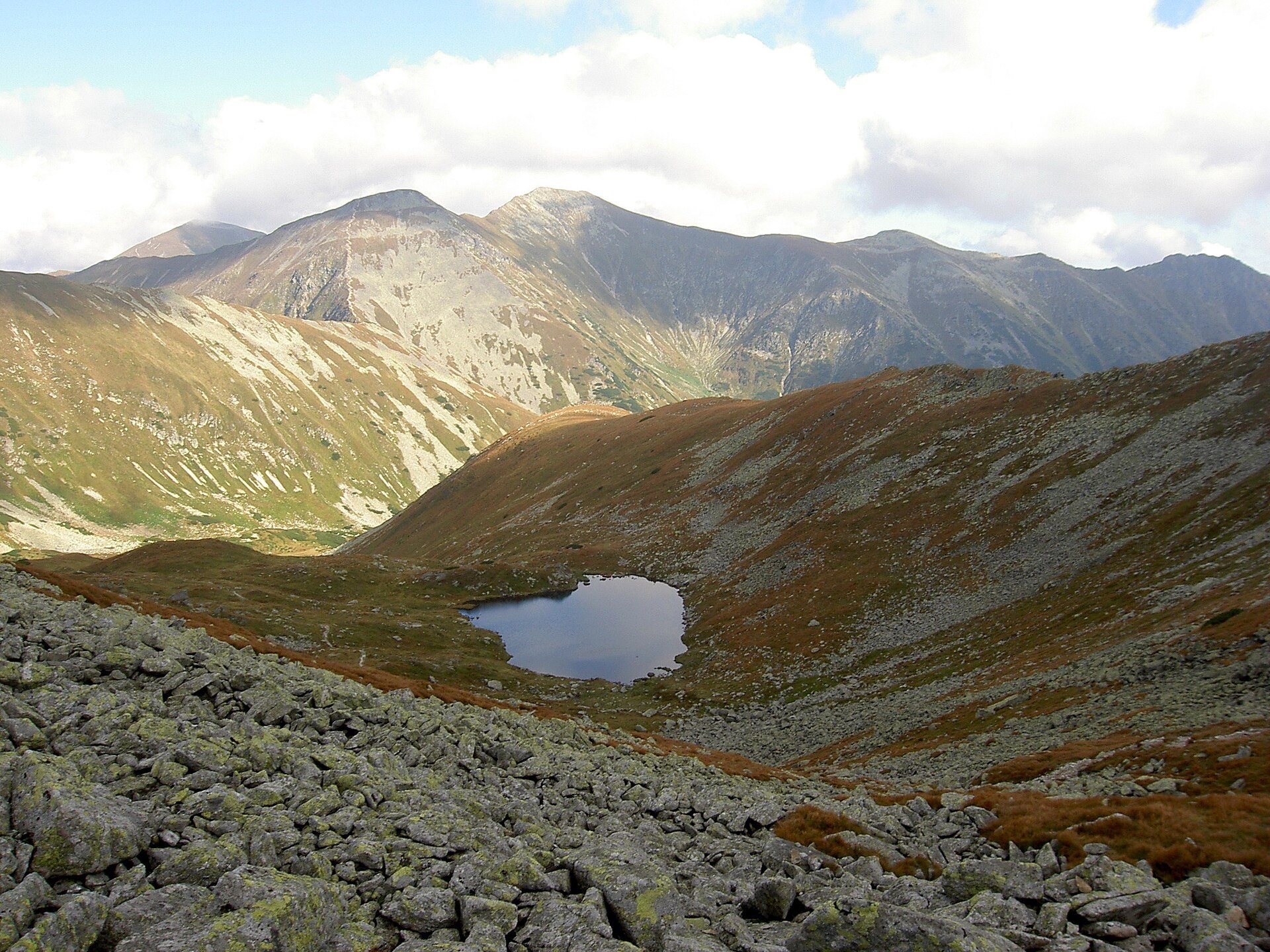
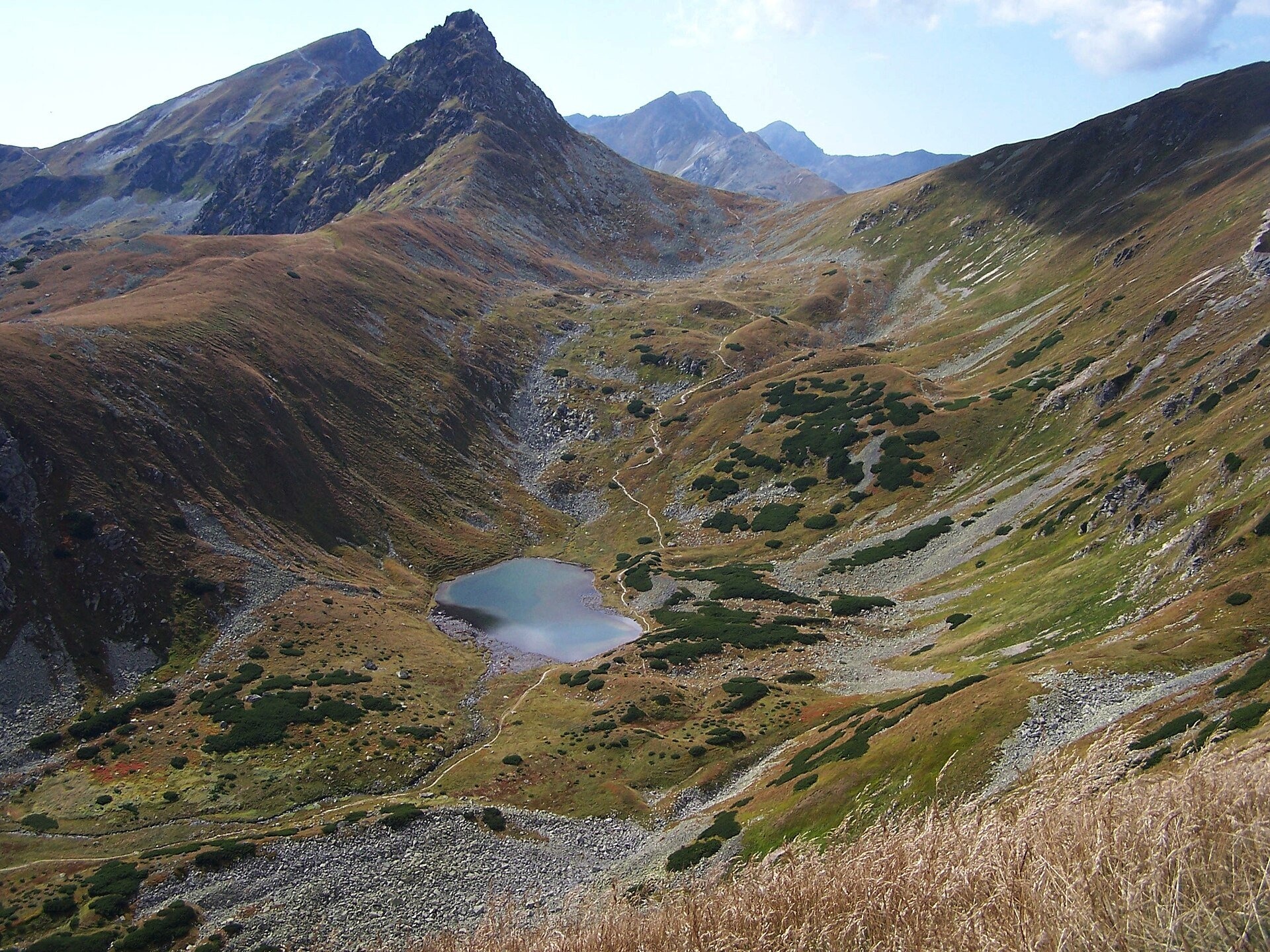
Jamnícke plesá are two glacial lakes in the upper part of Jamnícka dolina in the Western Tatras, in the Liptov region, within Tatra National Park (TANAP). The valley is named after the Liptov village of Jamník. The tarns lie in a hanging valley — the Kotol Jamníckych plies — below the slopes of Ostrý Roháč, Volovec and Lopata; the basin is separated from the rest of the valley by the rampart-like Stavianský vrch. The lakes lie on two levels and are the source of the Jamnícky potok.
Nižné Jamnícke pleso is the largest in the valley: 1,732 m, 1.13 ha, 178 by 95 m, up to 8.2 m deep; its bottom has two hollows. It lies in a depression of a glacial cirque below Deravé sedlo. Vyšné pleso lies 100 m higher, at about 1,835–1,839 m, on the flat valley floor: 0.41 ha, 110 by 58 m, up to 3.6 m deep. The stream from Vyšné pleso feeds Nižné pleso.
Villagers from Kokava once grazed their herds around the tarns; the Kokava Gardens, a lushly overgrown widening of the valley floor below the lake, are named after the village. Since grazing stopped, the shores have gradually been overgrown by dwarf pine. The slopes around Vyšné pleso are covered with three-flowered rush, which turns rusty by mid-summer and colours the mountainside reddish. As early as 1862 the Polish traveller Kazimierz Łapczyński wrote of a little valley strewn with granite blocks where two emerald lakes forever gaze at Roháč.
What to see and do
- Two emerald tarns below the pyramid of Ostrý Roháč — best seen from the climb to Jamnícke sedlo.
- Autumn colours — from late summer the rust-coloured grasses and dwarf pine create especially warm colours.
- The quiet of the Western Tatras — Jamnícka dolina is far from the big resorts, with far fewer people than at the popular High Tatra tarns.
How to get there
The tarns lie on the blue Oravice – Račková dolina, campsite route. The starting point is the campsite at the mouth of Úzka dolina near Pribylina. From there the blue trail leads via the Nižná lúka junction up Jamnícka dolina: to the junction in Jamnícka dolina 2 h 30 min (2 h down), then to Jamnícke sedlo 1 h 45 min (1 h 20 min down); the tarns lie on this section, and the path runs right past Nižné pleso. From the saddle to the summit of Volovec (2,063 m) it is another 20 min. This is a long mountain day: one way takes several hours, so start early. There are no technical sections on the way to the tarns, but the route is too long for small children.
Season and safety
The blue trail in the upper part of the valley — from the Pod Smrekom junction to Jamnícke sedlo — is closed from 1 November to 31 May (§ 4 of the TANAP Visitor Regulations, decree 26/2023), so you can visit the tarns from 1 June to 31 October. Entry to TANAP is free. You may walk only on marked trails and only in daylight; dogs are not allowed on the blue trail through Jamnícka dolina, and drones are banned without a permit. On the ridges of the Western Tatras the weather turns quickly, and summer thunderstorms are frequent. Mountain Rescue Service HZS: 18 300, general emergency number 112.
Nearby
- Roháčske plesá — on the other side of the main ridge, in Roháčska dolina.
- Volovec — the summit above Jamnícke sedlo.
- Ostrý Roháč — the summit above the tarns.
- Roháčsky Waterfall — in the Orava part of the Roháče.
Official website: tanap.sk
Photos: Jerzy Opioła, CC BY-SA 3.0, Wikimedia Commons; Dezidor, CC BY 3.0, Wikimedia Commons.
Getting there from Ukraine
Border crossings
- Uzhhorod – Vyšné Nemecké — road, 24/7
- Malyi Bereznyi – Ubľa — road, 24/7 For cars and buses; pedestrians not confirmed by the Ukrainian border service, lorries up to 3.5 t.
- Mali Selmentsi – Veľké Slemence (pedestrian) — pedestrian, 09:00–21:00 Kyiv time Pedestrians and cyclists only; inconvenient for the Tatras without onward transport.
- Chop – Čierna nad Tisou (rail) — rail, 24/7
By car
From Uzhhorod ≈275 km, ≈3 h 35 min without queues: Uzhhorod – Vyšné Nemecké → I/19 to Košice → D1 motorway via Prešov, Poprad and Liptovský Mikuláš to Ružomberok (≈270 km, ≈3 h 25 min from the border). From Lviv it is faster through Poland: M-10 → Krakovets – Korczowa → A4 to Kraków → S7/DK7 to the Chyżne – Trstená border → R3 and I/59 via Dolný Kubín to Ružomberok: ≈482 km, ≈6 h 15 min (via Uzhok and Ubľa ≈500 km, ≈7 h 30 min). The D1 requires an e-vignette (eznamka.sk).
Checked 23.10.2026; border crossing hours and timetables change — check before you travel.
Location on the map
Comments
Trails nearby
All trails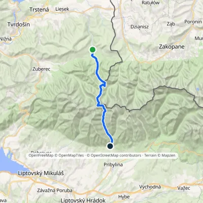 HardTwo-dayMarkedOravice Račková dolina, campsiteElevation profile791–2 063 m23.6 kmascent 1 337 m≈ 8.5 h walkingunder 1 km from Jamnícke plesá
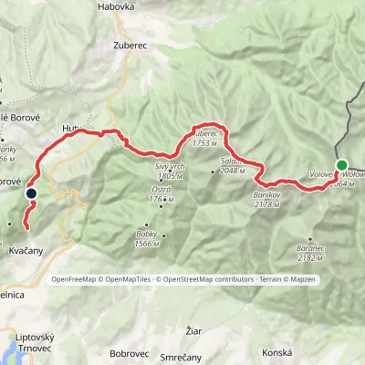 HardMulti-dayMarkedÚstie Kvačianskej doliny Pyšné sedlovia VolovecElevation profile644–2 178 m27.6 kmascent 1 566 m≈ 10 h walkingunder 1 km from Jamnícke plesá
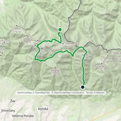 HardMulti-dayMarkedSedlo Zábrať Junction of Jamnická and Račková ValleysElevation profile962–2 194 m26.6 kmascent 2 635 m≈ 12 h walking1.1 km from Jamnícke plesá
Nearby attractions
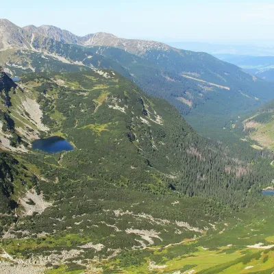 LakeRoháčske plesá1.9 km from Jamnícke plesáRoháčske plesá are a cascade of four glacial lakes at the head of Roháčska dolina in the Western Tatras, in the Orava region.
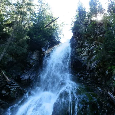 WaterfallRoháčsky Waterfall3.3 km from Jamnícke plesáRoháčsky waterfall (Roháčsky vodopád) is the best-known waterfall of the Western Tatras, in the Roháče massif about 12 km east of the village of Zuberec in Orava.
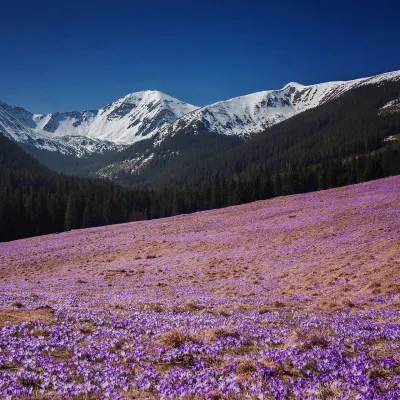 Mountain meadowPolana Chochołowskaaltitude 1 146 m4.2 km from Jamnícke plesáPolana Chochołowska is the largest glade in the Polish Tatras and one of the largest in the whole range: about 20 ha of meadow in the upper part of the Chochołowska...
Craft nearby
All craft places Cheese dairies & pasturesShepherds' Huts on Polana Chochołowska4 km from Jamnícke plesáPolana Chochołowska is the largest glade in the Polish Tatras and one of the largest in the whole range.
 Cheese dairies & pasturesShepherd's Hut in the Kościeliska Valley10 km from Jamnícke plesáJózef Słodyczka's bacówka (shepherd's hut) on the Wyżnia Kira Miętusia glade is probably the most easily reached shepherds' hut in the Polish Tatras.
 Water parks & thermal poolsOravice thermal pools11 km from Jamnícke plesáThe Oravice thermal pools (Termálne kúpalisko Oravice) are the municipal thermal baths in the mountain settlement of Oravice at the foot of the Western Tatras.
 Water parks & thermal poolsMeander Thermal Resort, Oravice11 km from Jamnícke plesáMeander Thermal & Ski Resort (formerly Meander Park) is a thermal water park and ski centre in the mountain settlement of Oravice in northern Slovakia, at the foot of...
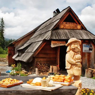 Cheese dairies & pasturesBiały Potok Shepherd's Hut, Witów: oscypek and cheese workshops11 km from Jamnícke plesáBiały Potok meadow in the village of Witów lies between the entrances to two of the most visited Tatra valleys, Chochołowska and Kościeliska.
 Horse ridingKone vo Východnej: horse rides below the Tatras17 km from Jamnícke plesáKone vo Východnej (“Horses in Východná”) is a small family horse farm on the meadows above the village of Východná in upper Liptov, with a sweeping view of the High...
