Polana Chochołowska
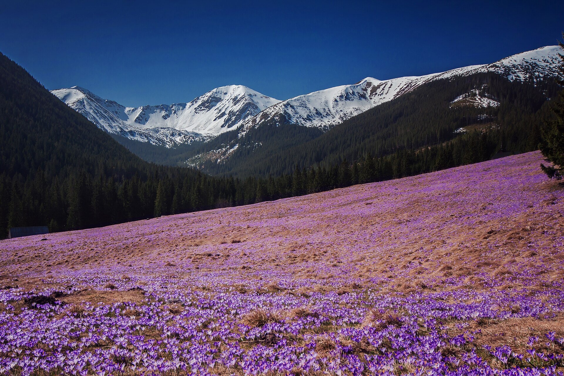
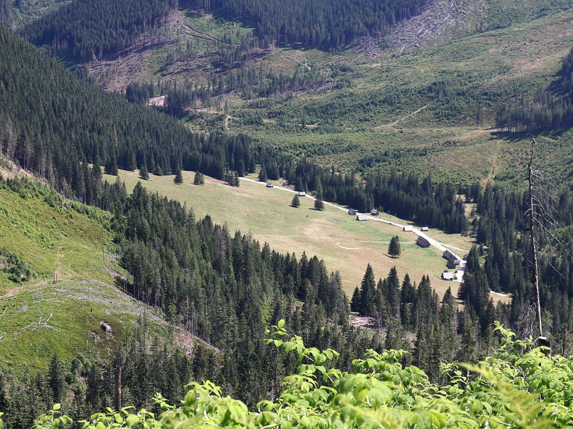
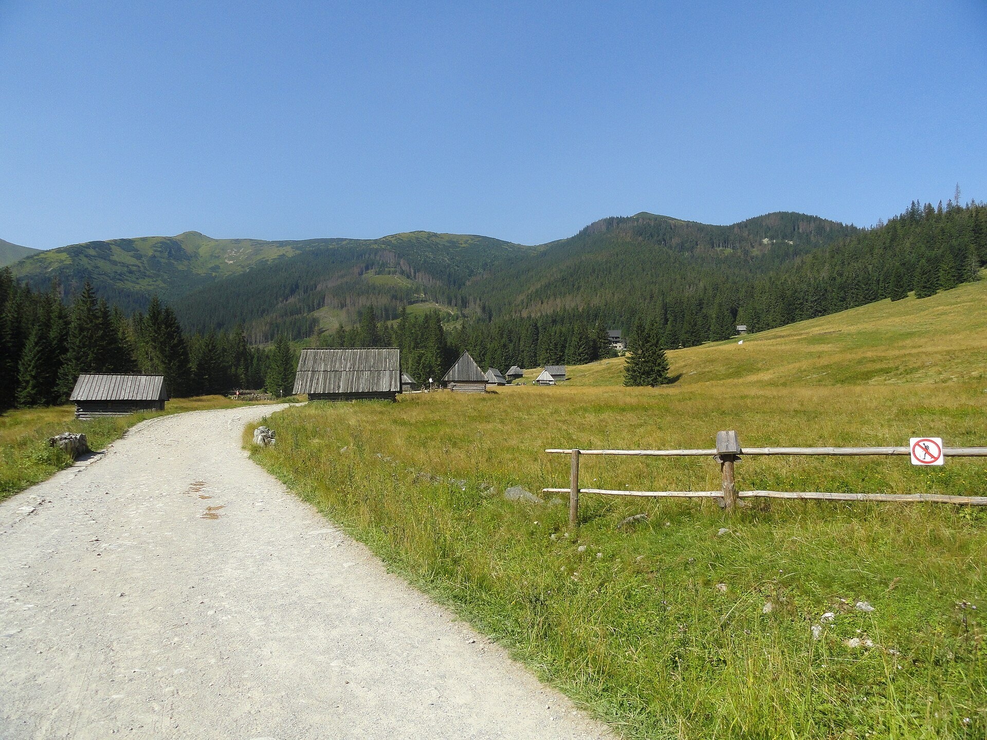
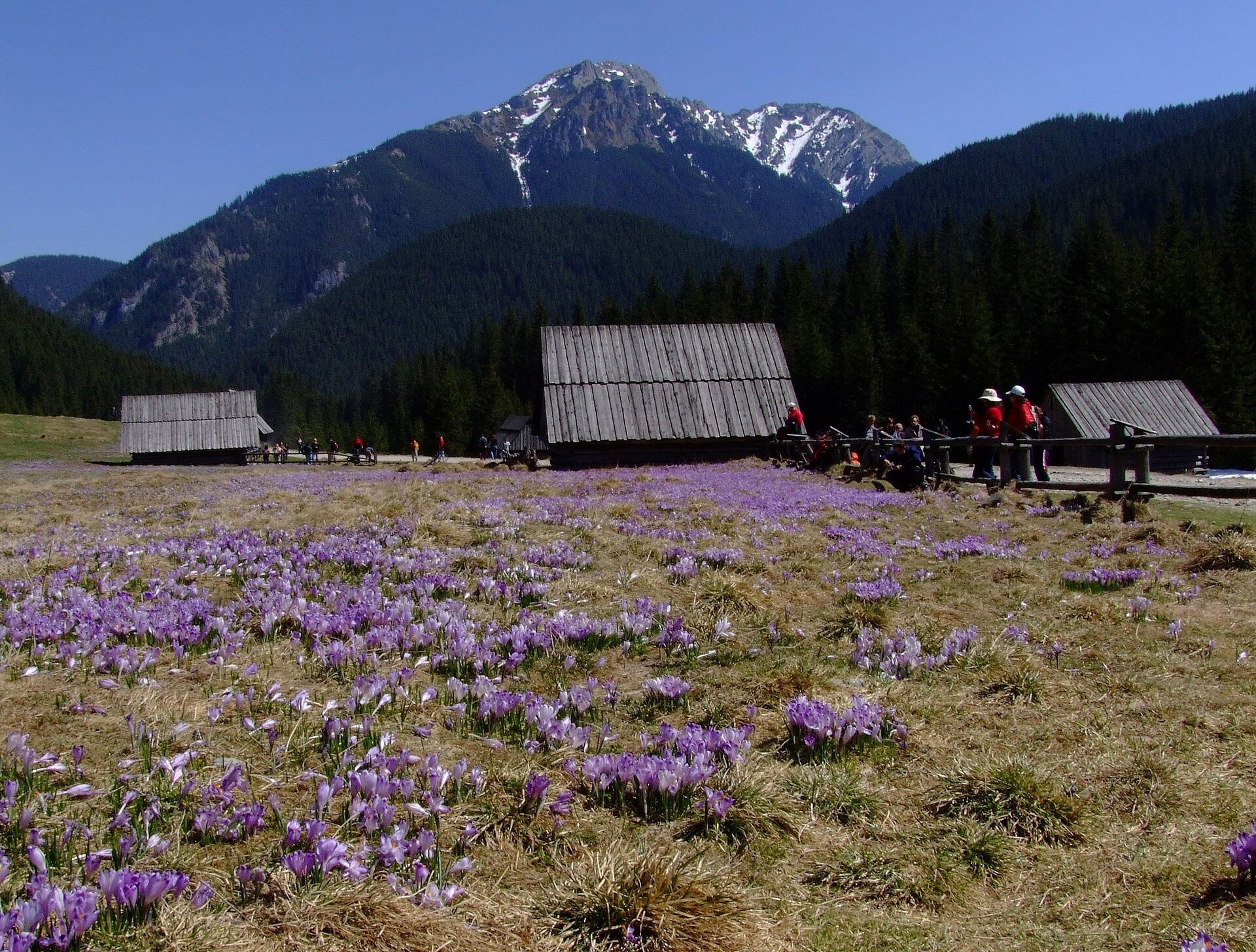
Polana Chochołowska is the largest glade in the Polish Tatras and one of the largest in the whole range: about 20 ha of meadow in the upper part of the Chochołowska Valley in the Western Tatras, at 1,090–1,175 m, within the Tatra National Park (TPN). It slopes gently to the south-east from the foot of Bobrowiec, the dolomite crags of the Chochołowskie Mnichy rise above it, and from the meadow you look up the head of the valley to the highest visible summit, Wołowiec (2,064 m). Grześ, Jarząbczy Wierch and the massif of Kominiarski Wierch are also in view.
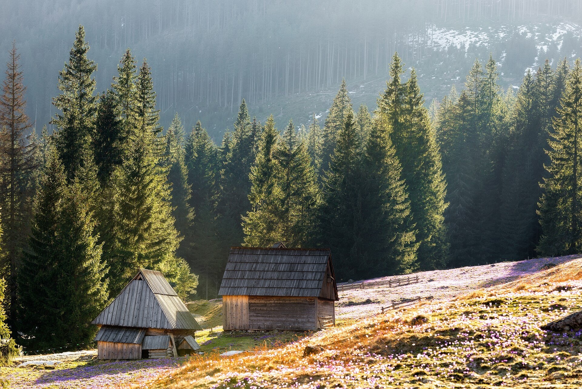
The meadow takes its name from the village of Chochołów, which received grazing rights here as early as the 16th century. It used to be one of the main pastoral centres of the Tatras: in 1930 there were 60 huts, sheds and barns, and in the 1950s about thirty buildings where five or six head shepherds (bacowie) from Chochołów, Dzianisz and Ciche worked in summer, grazing some 500 sheep and 100 cows. Today the largest group of historic shepherds' huts in the Tatras survives here. The meadow belongs to the Forest Community of the Eight Villages based in Witów: their ancestors jointly bought these lands in 1819, later lost them through a dishonest proxy and regained them only in 1867 after long lawsuits; the right to manage them under TPN supervision was won back in 1983.
Since 1981 so-called cultural grazing has been allowed in the TPN, and sheep graze the meadow again. It is thanks to grazing that every spring the largest purple carpet in the Tatras blooms here — Crocus scepusiensis, with a population estimated at about 14 million plants. The sheep fertilise the soil and tread the seeds in, and ants spread the crocus seeds too.
What to see and do
- The crocus bloom — usually peaking in the first half of April, though the exact date depends on the weather.
- The shepherds' huts and a bacówka with cultural grazing, where you can see sheep's cheese being made (see Shepherds' Huts on Polana Chochołowska).
- The chapel of St John the Baptist — a small wooden church in highland style built around 1960; in 1973 scenes for the TV series "Janosik" were filmed beside it. Mass is held on Sundays from June to October.
- The PTTK hostel on Polana Chochołowska (1,146 m) — the largest in the Polish Tatras, built in 1953; by the entrance a plaque commemorates Pope John Paul II's visit to the valley on 23 June 1983, and the second floor has an exhibition about his mountain journeys.
Getting there
The walk starts at Siwa Polana (910 m) near Witów — the last car park, a minibus stop and a ticket office. Then follow the wide track along the valley floor: the first 3.5 km to the Huciska glade are asphalt, then a hardened track, partly cobbled. According to the signposts it takes 2 h 10 min from Siwa Polana to the hostel and 1 h 45 min back. It is a long but easy walk without steep climbs, suitable for children. Mountain trails start from the meadow: Polana Chochołowska – Grześ (1 h 30 min), Polana Chochołowska – Rakoń to the ridge between Rakoń and Wołowiec (2 h 15 min) and Polana Chochołowska – Trzydniowiański Wierch (2 h 20 min).
Season and safety
Most of the valley belongs to the Witów community, which sets and collects its own entry fees; according to the TPN they usually match the park's prices (as of October 2026: TPN ticket 11 zł, reduced 5.50 zł, children under 7 free), and at Siwa Polana payment is often cash only. Bicycles cost an extra fee. The Chochołowska Valley is the only place in the TPN where you may bring a dog — only along the valley floor to the hostel and on a lead. From 1 March to 30 November walking on TPN trails between dusk and dawn is forbidden. In winter a small T-bar lift runs on the meadow, and higher up there may be avalanche danger. TOPR rescue: 601 100 300 or 985.
Nearby
Above the meadow rise Volovec and Starorobociański Wierch (Klin); over the Iwaniacka Pass you can cross to the neighbouring valley with Hala Ornak and further on Smreczyński Staw Lake.
Official website: tpn.gov.pl
Photos: Aneta Pawska, CC BY 3.0, Wikimedia Commons; Qvidemus, CC BY 3.0, Wikimedia Commons; Cybularny, CC0, Wikimedia Commons; Zakopane2017, CC BY 3.0, Wikimedia Commons; Paweł Opioła, CC BY-SA 4.0, Wikimedia Commons; Piotrass007, CC BY-SA 4.0, Wikimedia Commons.
Getting there from Ukraine
Border crossings
- Krakovets – Korczowa — road, 24/7
- Shehyni – Medyka — road, 24/7 Pedestrian crossing is not confirmed by the Ukrainian border service — check dpsu.gov.ua before the trip.
- Smilnytsia – Krościenko — road, 24/7
- Hrushiv – Budomierz — road, 24/7
- Mostyska – Przemyśl (rail) — rail, 24/7
By car
Lviv – Zakopane ≈421 km, ≈5 h 10 min without border queues. Route: M-10 Lviv – Krakovets → Krakovets – Korczowa checkpoint → A4 motorway (Rzeszów – Tarnów – Kraków) → Kraków southern bypass → S7/DK7 → DK47 ('Zakopianka') via Nowy Targ → Zakopane. The A4 Katowice – Kraków section (Balice and Mysłowice toll plazas) is tolled, but this route does not use it. In summer and at weekends the DK47 near Zakopane is often congested.
Checked 23.10.2026; border crossing hours and timetables change — check before you travel.
Location on the map
Water and shelter nearby
- Chochołowska Glade Hut450 m · Standing · 1 146 m
- Spring below Czoło950 m · Not verified · 1 275 m
- Spring below Olejarnia1.8 km · Not verified · 1 054 m
- Spring below Grześ2.3 km · Not verified · 1 528 m
- Spring below Hrubý vrch (south slope), 1 137 m2.3 km · Not verified · 1 137 m
- Spring below Jamska Czuba2.6 km · Not verified · 1 005 m
- Spring below Trzydniowiański Wierch2.6 km · Not verified · 1 581 m
- Chochołowskie Wywierzysko Spring2.6 km · Not verified · 988 m
Comments
Trails nearby
All trails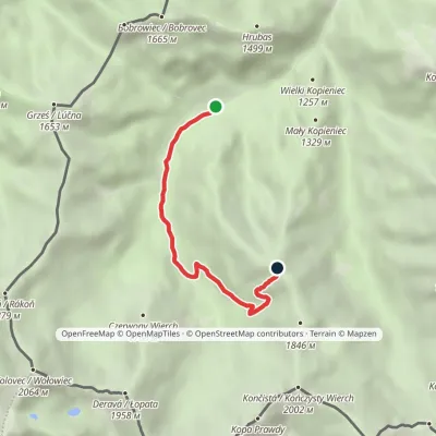 ModerateOne-dayMarkedPolana Chochołowska Trzydniowiański WierchElevation profile1 105–1 765 m4.7 kmascent 660 m≈ 2.5 h walkingunder 1 km from Polana Chochołowska
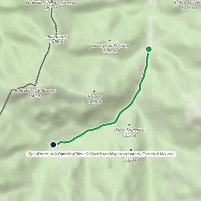 EasyOne-dayMarkedDolina Dudowa Polana ChochołowskaElevation profile1 013–1 126 m2.9 kmascent 113 m≈ 60 min walkingunder 1 km from Polana Chochołowska
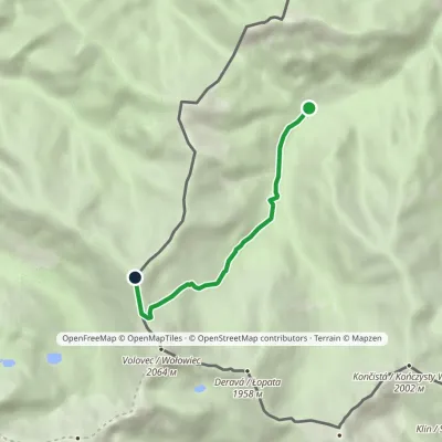 ModerateOne-dayMarkedPolana Chochołowska RakońElevation profile1 126–1 879 m4.6 kmascent 753 m≈ 2.5 h walkingunder 1 km from Polana Chochołowska
Nearby attractions
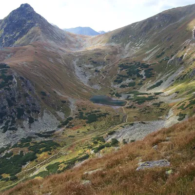 LakeJamnícke plesá4.2 km from Polana ChochołowskaJamnícke plesá are two glacial lakes in the upper part of Jamnícka dolina in the Western Tatras, in the Liptov region, within Tatra National Park (TANAP).
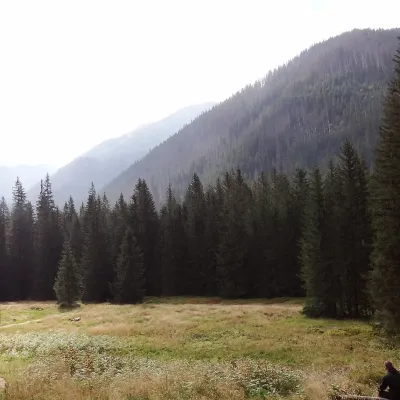 Mountain meadowHala Ornakaltitude 1 100 m4.8 km from Polana ChochołowskaHala Ornak is a former shepherds' pasture in the upper part of the Kościeliska Valley in the Western Tatras, inside the Tatra National Park (TPN).
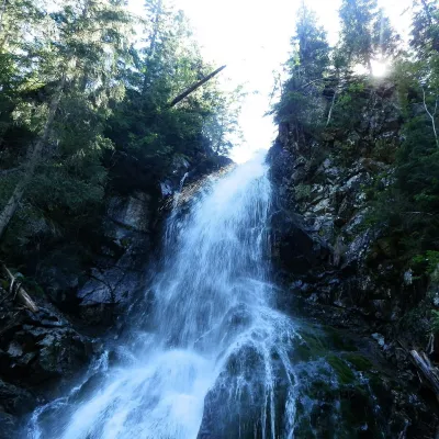 WaterfallRoháčsky Waterfall5.3 km from Polana ChochołowskaRoháčsky waterfall (Roháčsky vodopád) is the best-known waterfall of the Western Tatras, in the Roháče massif about 12 km east of the village of Zuberec in Orava.
Craft nearby
All craft places Cheese dairies & pasturesShepherds' Huts on Polana Chochołowskaunder 1 km from Polana ChochołowskaPolana Chochołowska is the largest glade in the Polish Tatras and one of the largest in the whole range.
 Cheese dairies & pasturesShepherd's Hut in the Kościeliska Valley6.4 km from Polana ChochołowskaJózef Słodyczka's bacówka (shepherd's hut) on the Wyżnia Kira Miętusia glade is probably the most easily reached shepherds' hut in the Polish Tatras.
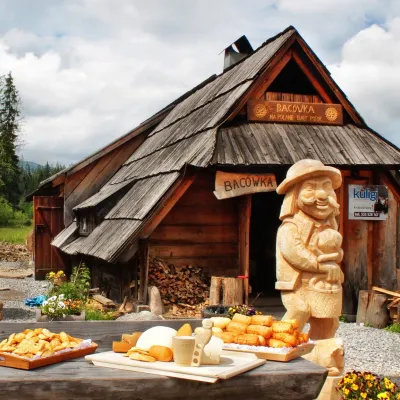 Cheese dairies & pasturesBiały Potok Shepherd's Hut, Witów: oscypek and cheese workshops6.9 km from Polana ChochołowskaBiały Potok meadow in the village of Witów lies between the entrances to two of the most visited Tatra valleys, Chochołowska and Kościeliska.
 Water parks & thermal poolsOravice thermal pools7.6 km from Polana ChochołowskaThe Oravice thermal pools (Termálne kúpalisko Oravice) are the municipal thermal baths in the mountain settlement of Oravice at the foot of the Western Tatras.
 Water parks & thermal poolsMeander Thermal Resort, Oravice7.6 km from Polana ChochołowskaMeander Thermal & Ski Resort (formerly Meander Park) is a thermal water park and ski centre in the mountain settlement of Oravice in northern Slovakia, at the foot of...
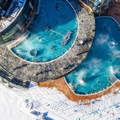 Water parks & thermal poolsChochołowskie Termy13 km from Polana ChochołowskaChochołowskie Termy stand in the village of Chochołów in the Podhale region, north-west of Zakopane and not far from the Slovak border.
