Roháčske plesá
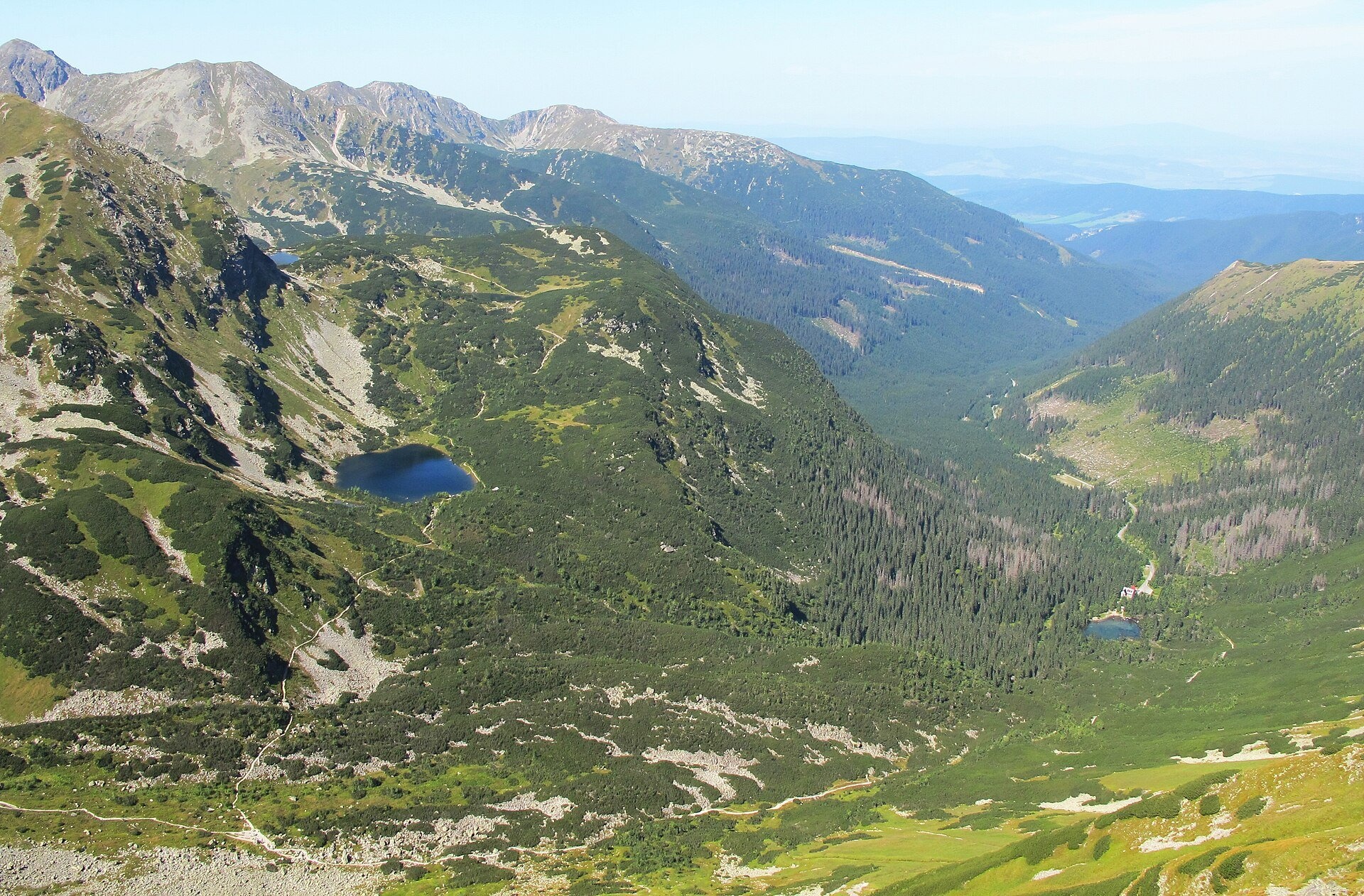
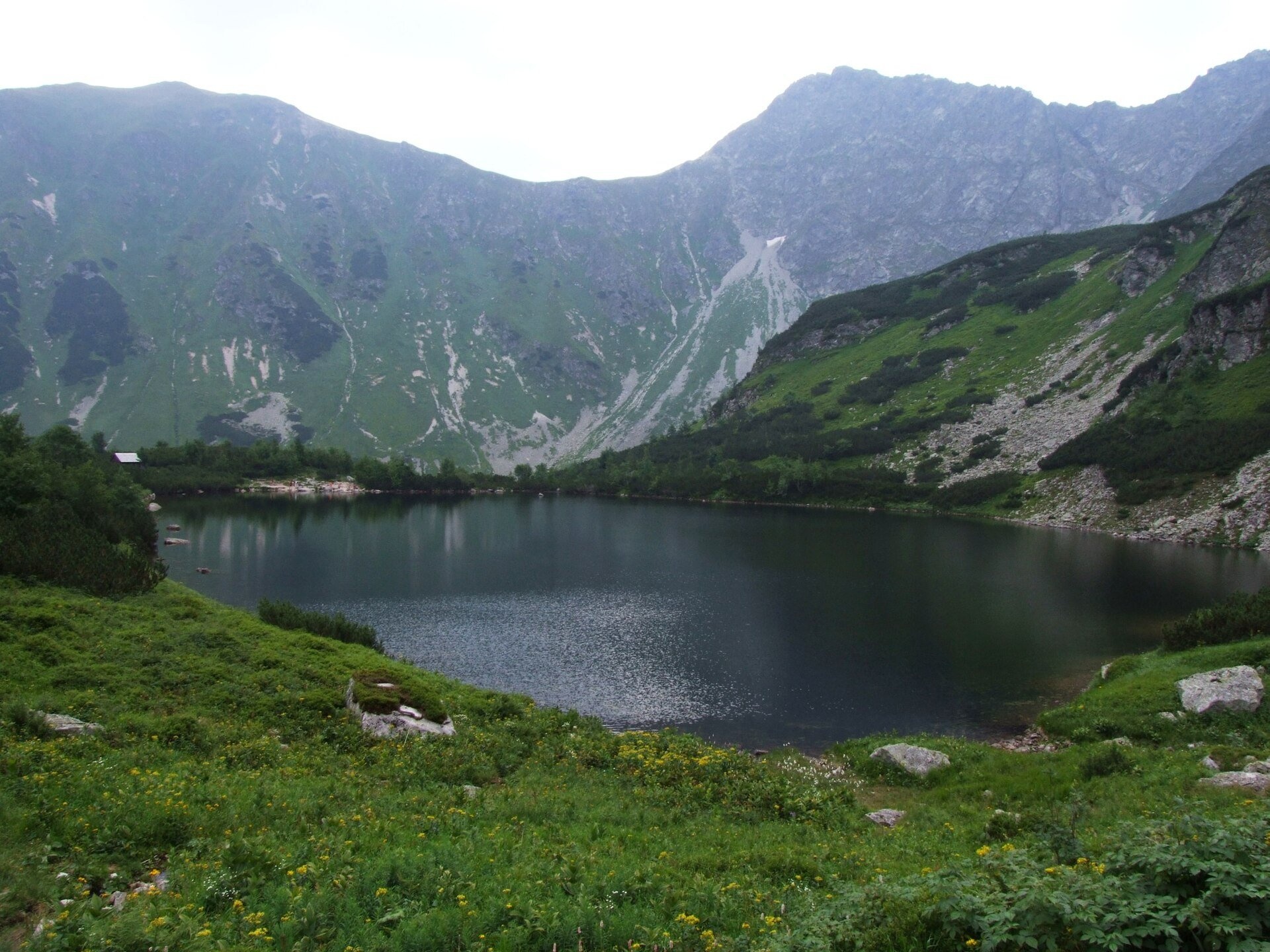
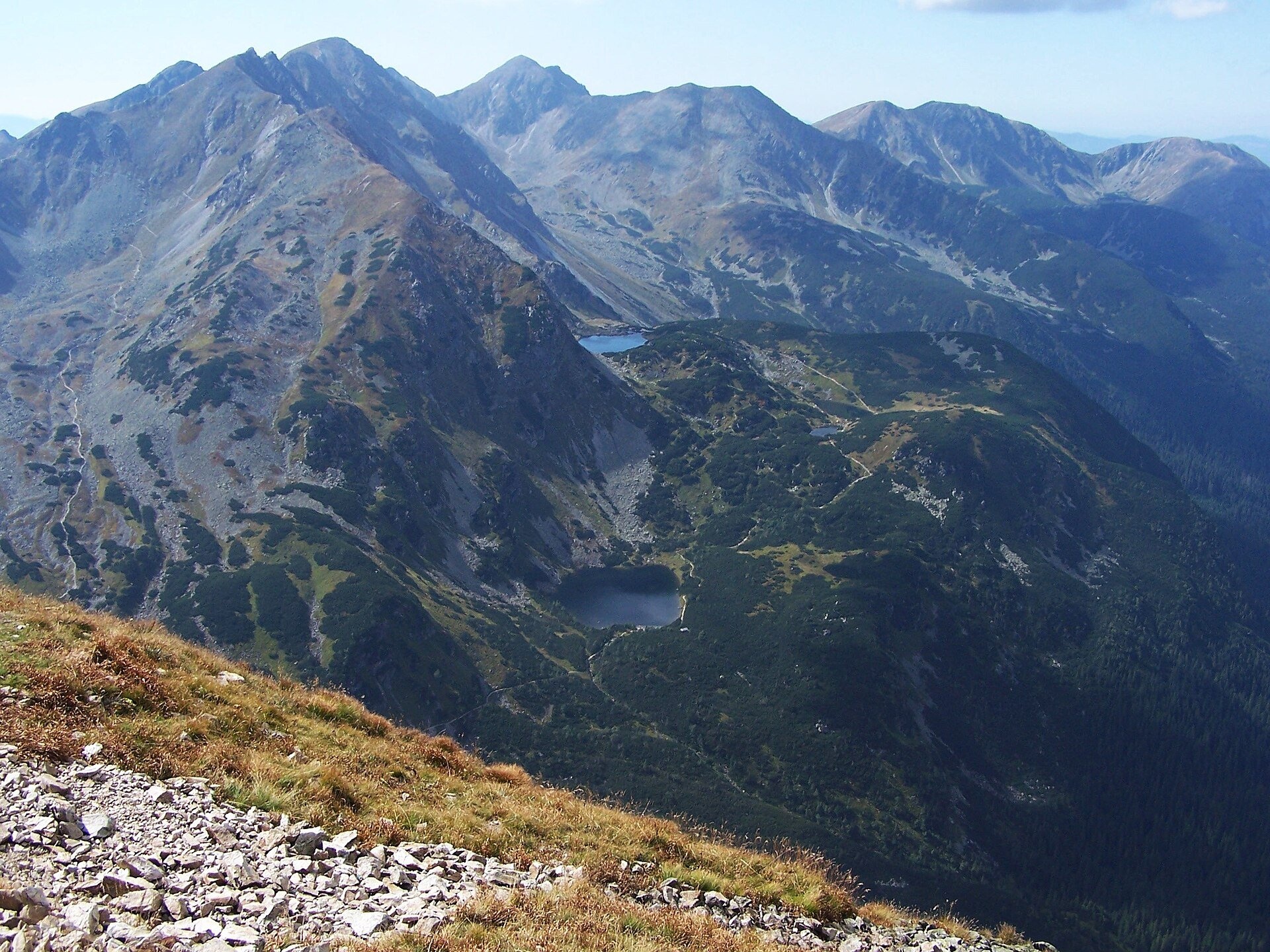
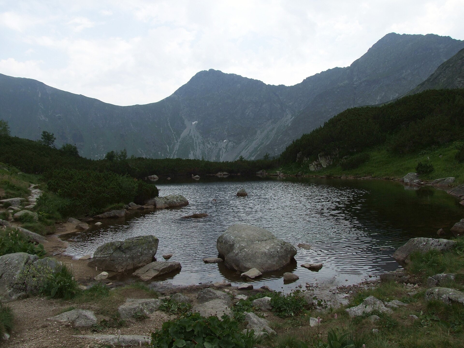
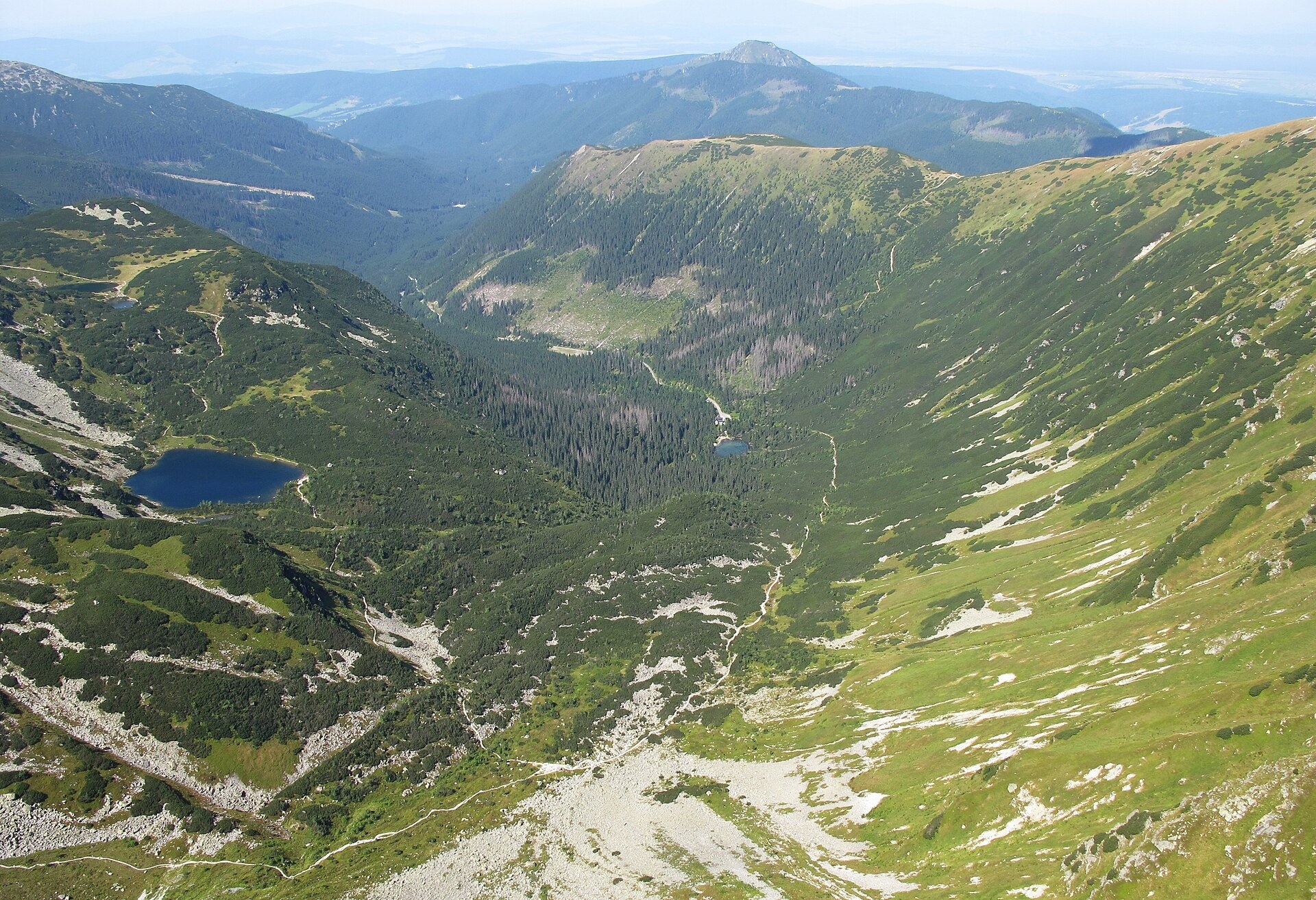
Roháčske plesá are a cascade of four glacial lakes at the head of Roháčska dolina in the Western Tatras, in the Orava region. They lie on three terraces below the ridge of Ostrý Roháč, Plačlivé and Kopy (Tri kopy, Hrubá kopa) and belong to the Roháčske plesá national nature reserve in Tatra National Park (TANAP). The lowest and largest is Veľké (Lower) Roháčske pleso: 1,562 m, 2.22 ha, 7 m deep. Higher up, side by side, lie the Second and Third tarns (1,650 and 1,653 m), and the highest is Horné (Upper) pleso at 1,719 m.
Interestingly, the tarns have different origins. The lowest formed on the floor of a glacial cirque, the middle ones in a trough scoured by the glacier that flowed down Roháčska dolina, and the upper one, which drains towards Spálená dolina, on the floor of a firn basin later destroyed by erosion. Their beauty has long attracted visitors: old guidebooks even called the lower tarn the "Morskie Oko of Orava".
TANAP has built an educational trail around the tarns with benches, tables, shelters and information boards. According to these boards, 22 mammal and 46 bird species live here — among them Tatra chamois, marmot, the Tatra pine vole, red deer, black grouse and capercaillie; bears, wolves and lynx also pass through. The meadows bloom with plane-leaved buttercup, alpine pasqueflower, golden cinquefoil, spotted gentian and monkshood. A few pairs of mallards on the lakes have got used to being fed by visitors — but wild animals should not be fed.
What to see and do
- The Roháčske plesá educational trail — a 5.4 km loop with 525 m of ascent (about 4 h) from the former Ťatliakova chata past all the tarns and Roháčsky Waterfall.
- A panorama of the Roháče — Ostrý Roháč, Plačlivé and Volovec rise above the water; the best view of all the tarns is from the climb to Baníkovské sedlo.
- A rest by the water — the shelters and benches by the lower tarn are good for a picnic.
How to get there
The starting point is Zuberec, then up Roháčska dolina to Zverovka, which has a bus stop. From Zverovka it takes about 1 h 30 min along the asphalt road to the former Ťatliakova chata (1,393 m) (route Zuberec – Tatliakove pliesko). From there the green trail through the lower part of Smutná dolina passes the lower and middle tarns to Horné pleso — 1 h 30 min up, 1 h down. From Horné pleso the blue trail descends past Roháčsky Waterfall to the Adamcuľa junction on the valley road — 1 h 10 min, 1 h 30 min up (route Adamcuľa – Roháčske tarns). Together this makes a lovely half-day loop with about 500 m of ascent: an ordinary mountain path without technical sections, suitable for schoolchildren used to walking. With a pram you can only use the asphalt part of the valley.
Season and safety
All marked trails to the tarns — the blue one from Roháčsky Waterfall, the green one from Ťatliakovo pliesko and the educational trail — are closed from 1 November to 31 May (§ 4 of the TANAP Visitor Regulations, decree 26/2023); the best time is June to October. Entry to TANAP is free. You may walk only on marked trails and only in daylight; dogs are not allowed on the trails to Roháčske plesá, and drones are banned without a permit. Mountain Rescue Service HZS: 18 300, general emergency number 112.
Nearby
- Roháčsky Waterfall — on the blue trail below the tarns.
- Ostrý Roháč and Volovec — summits above the valley.
- Baníkov — above Baníkovské sedlo.
- Jamnícke plesá — in the neighbouring Jamnícka dolina.
Official website: tanap.sk
Photos: Huhulenik, CC BY 3.0, Wikimedia Commons; Jerzy Opioła, CC BY-SA 3.0, Wikimedia Commons; Michal Jakubský, CC BY 3.0, Wikimedia Commons.
Getting there from Ukraine
Border crossings
- Uzhhorod – Vyšné Nemecké — road, 24/7
- Malyi Bereznyi – Ubľa — road, 24/7 For cars and buses; pedestrians not confirmed by the Ukrainian border service, lorries up to 3.5 t.
- Mali Selmentsi – Veľké Slemence (pedestrian) — pedestrian, 09:00–21:00 Kyiv time Pedestrians and cyclists only; inconvenient for the Tatras without onward transport.
- Chop – Čierna nad Tisou (rail) — rail, 24/7
By car
From Uzhhorod ≈275 km, ≈3 h 35 min without queues: Uzhhorod – Vyšné Nemecké → I/19 to Košice → D1 motorway via Prešov, Poprad and Liptovský Mikuláš to Ružomberok (≈270 km, ≈3 h 25 min from the border). From Lviv it is faster through Poland: M-10 → Krakovets – Korczowa → A4 to Kraków → S7/DK7 to the Chyżne – Trstená border → R3 and I/59 via Dolný Kubín to Ružomberok: ≈482 km, ≈6 h 15 min (via Uzhok and Ubľa ≈500 km, ≈7 h 30 min). The D1 requires an e-vignette (eznamka.sk).
Checked 23.10.2026; border crossing hours and timetables change — check before you travel.
Location on the map
Comments
Trails nearby
All trails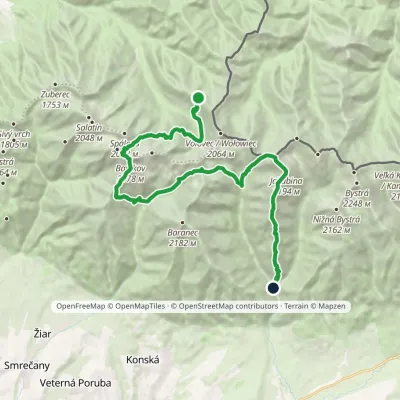 HardMulti-dayMarkedSedlo Zábrať Junction of Jamnická and Račková ValleysElevation profile962–2 194 m26.6 kmascent 2 635 m≈ 12 h walkingunder 1 km from Roháčske plesá
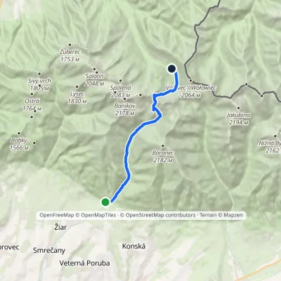 ModerateOne-dayMarkedTatliak Tarn Mouth of Žiarska ValleyElevation profile882–1 963 m11.5 kmascent 1 082 m≈ 5 h walkingunder 1 km from Roháčske plesá
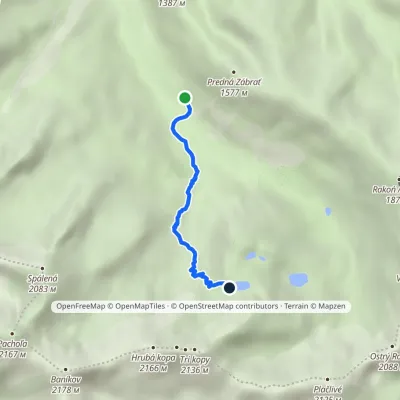 ModerateOne-dayMarkedAdamcuľa Roháčske tarnsElevation profile1 186–1 719 m3.1 kmascent 533 m≈ 2 h walkingunder 1 km from Roháčske plesá
Nearby attractions
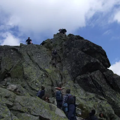 PeakOstrý Roháčaltitude 2 088 m1.2 km from Roháčske plesáOstrý Roháč (Polish: Rohacz Ostry) is a rocky, twin-summited 2,088 m mountain on the main ridge of the Western Tatras in Slovakia.
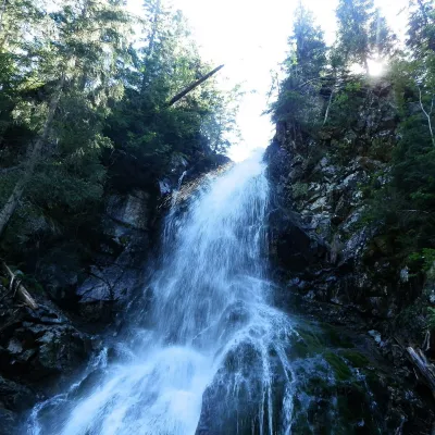 WaterfallRoháčsky Waterfall1.4 km from Roháčske plesáRoháčsky waterfall (Roháčsky vodopád) is the best-known waterfall of the Western Tatras, in the Roháče massif about 12 km east of the village of Zuberec in Orava.
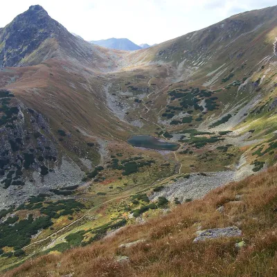 LakeJamnícke plesá1.9 km from Roháčske plesáJamnícke plesá are two glacial lakes in the upper part of Jamnícka dolina in the Western Tatras, in the Liptov region, within Tatra National Park (TANAP).
Craft nearby
All craft places Cheese dairies & pasturesShepherds' Huts on Polana Chochołowska4.8 km from Roháčske plesáPolana Chochołowska is the largest glade in the Polish Tatras and one of the largest in the whole range.
 Water parks & thermal poolsOravice thermal pools10 km from Roháčske plesáThe Oravice thermal pools (Termálne kúpalisko Oravice) are the municipal thermal baths in the mountain settlement of Oravice at the foot of the Western Tatras.
 Water parks & thermal poolsMeander Thermal Resort, Oravice10 km from Roháčske plesáMeander Thermal & Ski Resort (formerly Meander Park) is a thermal water park and ski centre in the mountain settlement of Oravice in northern Slovakia, at the foot of...
 Cheese dairies & pasturesShepherd's Hut in the Kościeliska Valley11 km from Roháčske plesáJózef Słodyczka's bacówka (shepherd's hut) on the Wyżnia Kira Miętusia glade is probably the most easily reached shepherds' hut in the Polish Tatras.
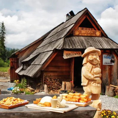 Cheese dairies & pasturesBiały Potok Shepherd's Hut, Witów: oscypek and cheese workshops12 km from Roháčske plesáBiały Potok meadow in the village of Witów lies between the entrances to two of the most visited Tatra valleys, Chochołowska and Kościeliska.
 Water parks & thermal poolsAquapark Tatralandia17 km from Roháčske plesáAquapark Tatralandia is a large year-round water leisure complex near Liptovský Mikuláš, on the northern shore of the Liptovská Mara reservoir.
