The grassy hole of Salatín and Brestová in the Western Tatras
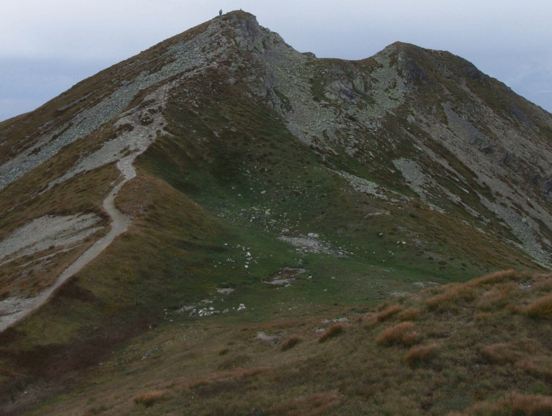
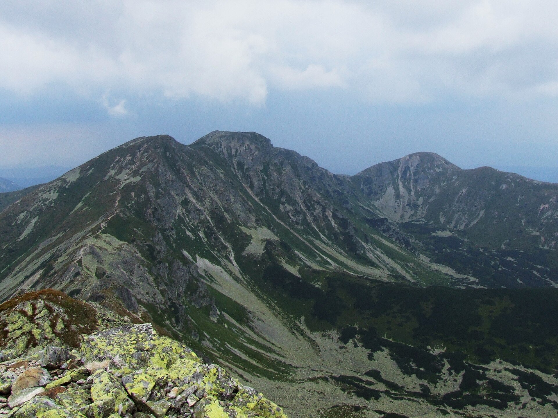
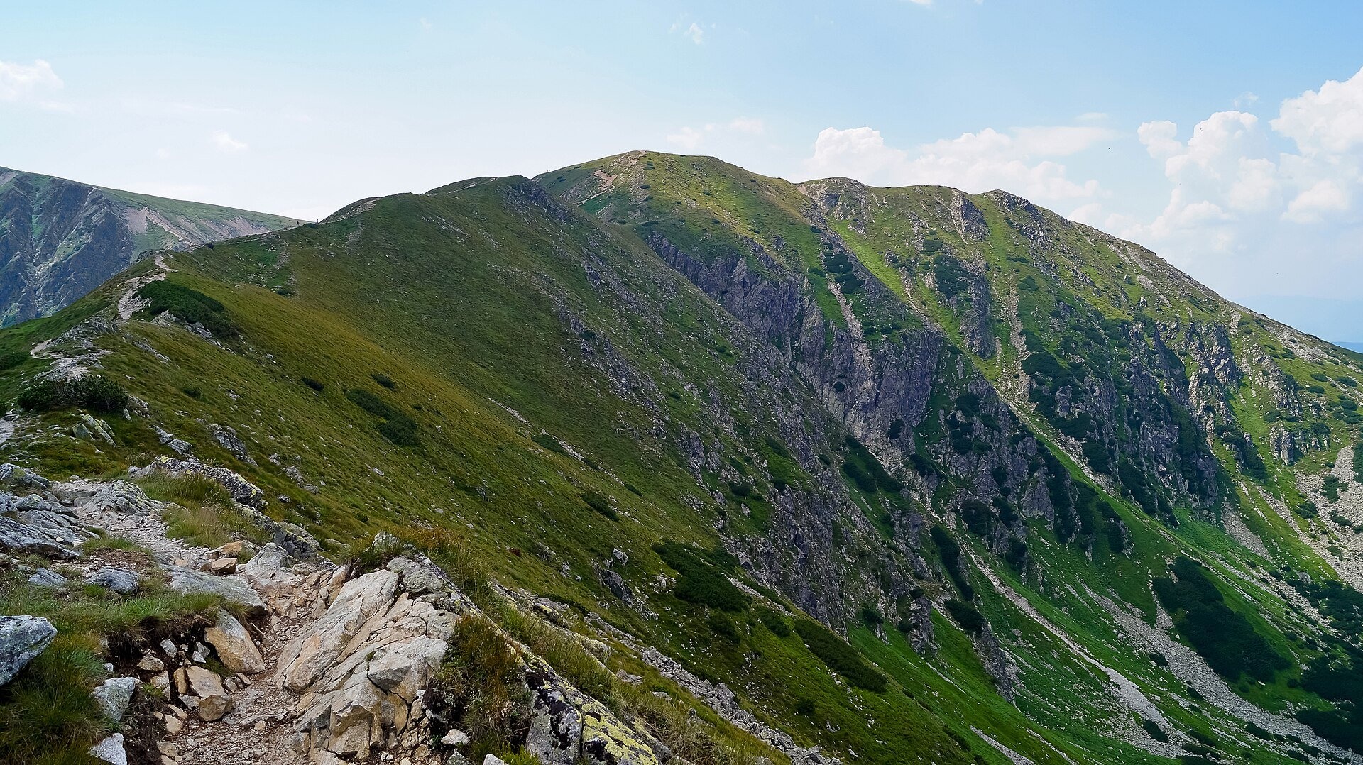
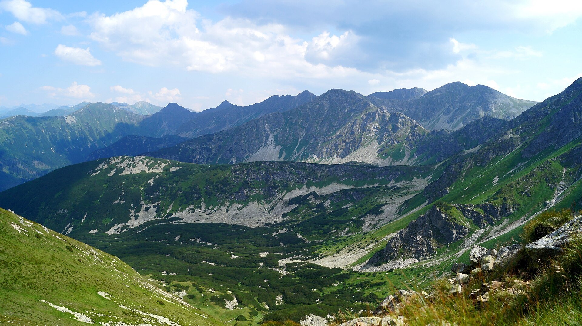
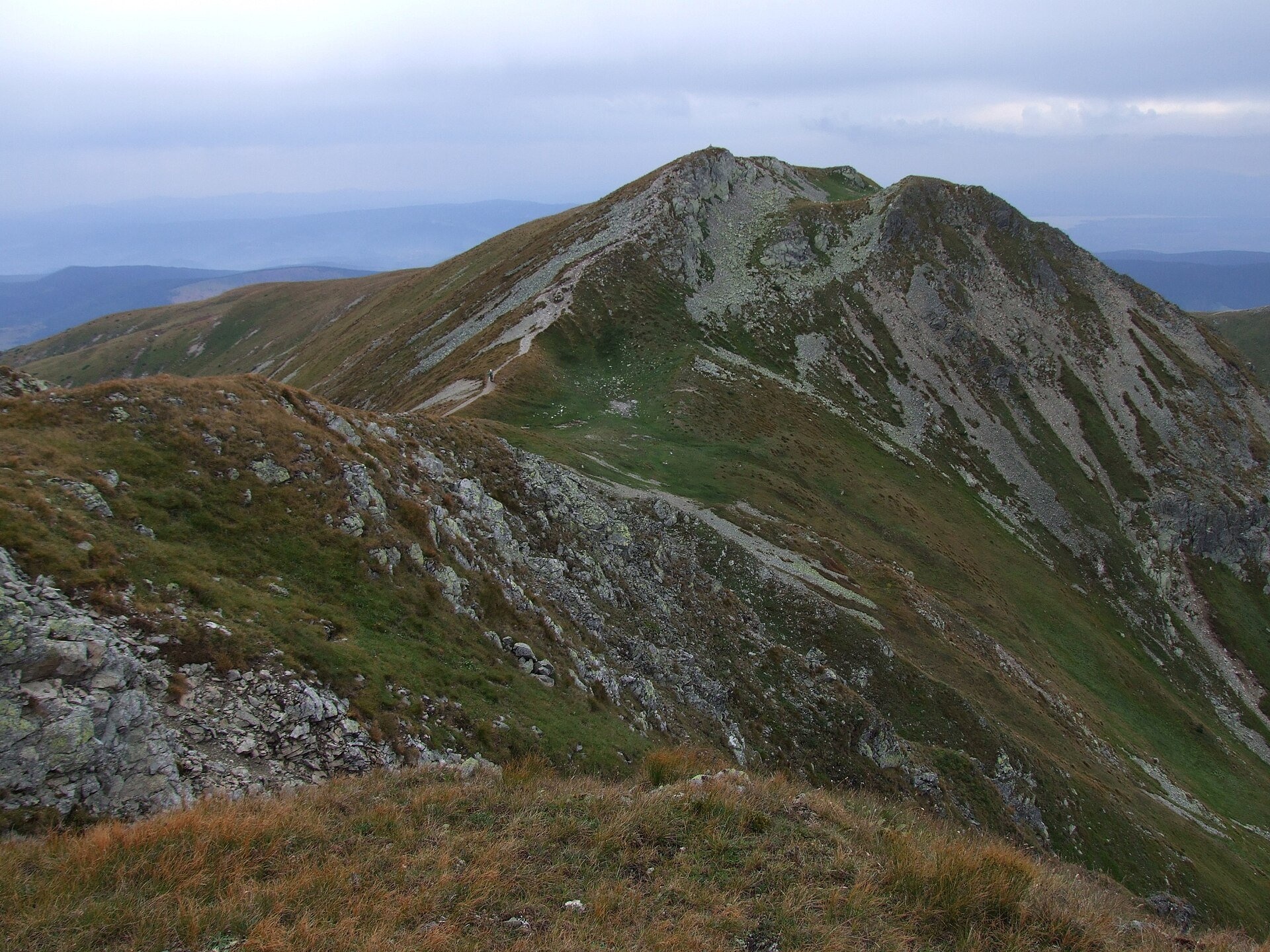
Salatín (2,048 m) is a massive grassy mountain on the main ridge of the Western Tatras (Západné Tatry) in Slovakia, above the Bobrovecká and Jalovecká valleys on the Liptov side and the Salatínska valley on the Orava side. It is the westernmost two-thousander of the Tatras and the most massive peak of the Orava Tatras; here the crest divides Orava from Liptov. Together with neighbouring Brestová to the west and Malý Salatín to the east it forms the Salatín group – broad green domes quite unlike the sharp rocks of the nearby Roháče. The whole area belongs to the Tatra National Park (TANAP).
The summit and slopes of Salatín are mostly covered with grass, and that grass has a long pastoral history. According to Polish Tatra researchers, cattle from the Bobrovecká valley were once grazed right up to the summit; the "Salatín" pasture is mentioned in Orava documents as early as 1615, and maps of 1823 label the summit "Salatjn B.". Where the name comes from is unknown; one theory links it to a folk name of some plant. Under the summit geologists see the western uplift of the crystalline core of the Tatras, and the top itself is cut by ridge trenches. On the broad western ridge, which the people of Zuberec call Červený vrch, two small tarns hide out of sight of the path. The first winter ascent of Salatín was made in 1911 by Józef Lesiecki and Leon Loria.
What to see and do
- Panorama. From the rocky top you see the neighbouring peaks of the Western Tatras, Sivý vrch, Osobitá and the Roháčska valley, part of the High Tatras, and in good weather the Skorušina hills, the Orava Beskids, Oravská Magura, Malá and Veľká Fatra, the Chočské vrchy and the Low Tatras.
- Along the Salatín ridge. From Brestová to Salatín it is only 30 minutes along the open grassy crest; further east the red path continues over Spálená to Baníkovské sedlo.
- The best time is July–September: in summer the slopes are green, in September the grass turns russet and the air is clear.
How to get there
This is a full high-mountain hike with about 1,000 m of ascent – not for prams or small children. From the Orava side: from the Zverovka hut in the Roháčska valley on the blue trail Zverovka Hut – Brestová and then along the ridge – 3 h 40 min to the summit, 2 h 15 min down; from the upper station of the Roháče – Spálená chairlift a green path climbs to the ridge of Predný Salatín (Predný Salatín – Brestová). From the Liptov side: from Jalovec on the yellow trail to the junction below Lysec, then on the green trail via Parichvost to the summit (Junction below Lyscom – Salatín). From Baníkovské sedlo along the main ridge it is 2 h one way. Times are from the trail signposts (pl.wikipedia).
Season and safety
Under the TANAP Visitor Rules (decree 26/2023, annex 3A) all the surrounding trails – the main ridge of the Western Tatras over Brestová, Salatín and Spálená, the green trail from Parichvost to Salatín and the blue and green trails from Roháče to Brestová – are closed from 1 November to 31 May; you can walk here from 1 June to 31 October. Walking is allowed only on marked trails and only in daytime; dogs are not allowed on the main ridge or on the trails of the Jalovecká and Salatínska valleys (annex 5); drones are banned without a permit; entry to TANAP is free. The summit area is exposed to wind and thunderstorms, and the grassy slopes are slippery after rain. Mountain Rescue Service HZS – 18 300, general emergency number – 112. Information as of October 2026.
Nearby
To the east, beyond Baníkovské sedlo, is the summit of Baníkov; in the Roháčska valley are the Roháčsky Waterfall and the Roháčske plesá; in Zuberec is the Museum of the Orava Village (Zuberec open-air museum).
Official website: tanap.sk
Photos: Jerzy Opioła, CC BY-SA 3.0, Wikimedia Commons; Sebastian B, CC BY 3.0, Wikimedia Commons.
Getting there from Ukraine
Border crossings
- Uzhhorod – Vyšné Nemecké — road, 24/7
- Malyi Bereznyi – Ubľa — road, 24/7 For cars and buses; pedestrians not confirmed by the Ukrainian border service, lorries up to 3.5 t.
- Mali Selmentsi – Veľké Slemence (pedestrian) — pedestrian, 09:00–21:00 Kyiv time Pedestrians and cyclists only; inconvenient for the Tatras without onward transport.
- Chop – Čierna nad Tisou (rail) — rail, 24/7
By car
From Uzhhorod ≈275 km, ≈3 h 35 min without queues: Uzhhorod – Vyšné Nemecké → I/19 to Košice → D1 motorway via Prešov, Poprad and Liptovský Mikuláš to Ružomberok (≈270 km, ≈3 h 25 min from the border). From Lviv it is faster through Poland: M-10 → Krakovets – Korczowa → A4 to Kraków → S7/DK7 to the Chyżne – Trstená border → R3 and I/59 via Dolný Kubín to Ružomberok: ≈482 km, ≈6 h 15 min (via Uzhok and Ubľa ≈500 km, ≈7 h 30 min). The D1 requires an e-vignette (eznamka.sk).
Checked 23.10.2026; border crossing hours and timetables change — check before you travel.
Location on the map
Water and shelter nearby
- Válovec Spring600 m · Not verified · 1 805 m
- Spring below Salatín (west slope)650 m · Not verified · 1 772 m
- Spring below Malý Salatín (south-west slope), 1 752 m670 m · Not verified · 1 752 m
- Hlboký potok Captured Spring, 1 668 m920 m · Not verified · 1 668 m
- Spring below Malý Salatín (south slope), 1 617 m960 m · Not verified · 1 617 m
- Spring below Salatínska kopa (south-west slope), 1 618 m990 m · Not verified · 1 618 m
- Brezovičkový jarok Spring1 km · Not verified · 1 883 m
- Spring below Salatínska kopa (south-west slope), 1 625 m1 km · Not verified · 1 625 m
- Spring below Lysec (east slope), 1 595 m1 km · Not verified · 1 595 m
- Spring below Malý Salatín (south slope), 1 595 m1 km · Not verified · 1 595 m
- Spring below Veľká kopa (north-west slope), 1 637 m1.1 km · Not verified · 1 637 m
- Spring below Malá kopa (north slope), 1 585 m1.1 km · Not verified · 1 585 m
- Spring below Lysec (east slope), 1 568 m1.1 km · Not verified · 1 568 m
- Spring below Lysec (north slope), 1 555 m1.2 km · Not verified · 1 555 m
- Spring below Lysec (east slope), 1 552 m1.2 km · Not verified · 1 552 m
- Podválovec Spring1.2 km · Not verified · 1 543 m
Comments
Trails nearby
All trails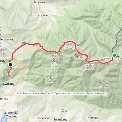 HardMulti-dayMarkedÚstie Kvačianskej doliny Pyšné sedlovia VolovecElevation profile644–2 178 m27.6 kmascent 1 566 m≈ 10 h walkingunder 1 km from The grassy hole of Salatín and Brestová in the Western Tatras
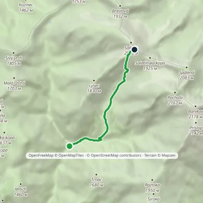 ModerateOne-dayMarkedJunction below Lyscom SalatínElevation profile1 038–2 046 m4.2 kmascent 1 008 m≈ 3 h walkingunder 1 km from The grassy hole of Salatín and Brestová in the Western Tatras
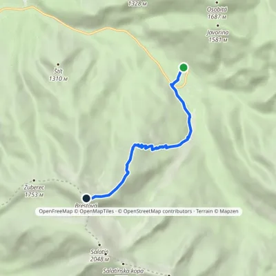 ModerateOne-dayMarkedZverovka Hut BrestováElevation profile1 016–1 930 m5.5 kmascent 914 m≈ 3 h walking1 km from The grassy hole of Salatín and Brestová in the Western Tatras
Nearby attractions
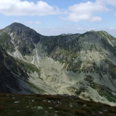 PeakSpálenáZuberecaltitude 2 083 m1.7 km from The grassy hole of Salatín and Brestová in the Western TatrasSpálená (Polish Spalona Kopa) is a summit 2083 m high on the main ridge of the Western Tatras, in their wildest part, the Roháče, in Slovakia.
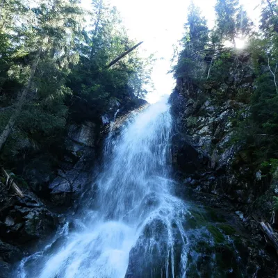 WaterfallRoháčsky WaterfallZuberec3.1 km from The grassy hole of Salatín and Brestová in the Western TatrasRoháčsky waterfall (Roháčsky vodopád) is the best-known waterfall of the Western Tatras, in the Roháče massif about 12 km east of the village of Zuberec in Orava.
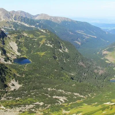 LakeRoháčske plesá4.3 km from The grassy hole of Salatín and Brestová in the Western TatrasRoháčske plesá are a cascade of four glacial lakes at the head of Roháčska dolina in the Western Tatras, in the Orava region.
Craft nearby
All craft places Cheese dairies & pasturesShepherds' Huts on Polana ChochołowskaKościelisko8.1 km from The grassy hole of Salatín and Brestová in the Western TatrasPolana Chochołowska is the largest glade in the Polish Tatras and one of the largest in the whole range.
 Water parks & thermal poolsOravice thermal poolsVitanová10 km from The grassy hole of Salatín and Brestová in the Western TatrasThe Oravice thermal pools (Termálne kúpalisko Oravice) are the municipal thermal baths in the mountain settlement of Oravice at the foot of the Western Tatras.
 Water parks & thermal poolsMeander Thermal Resort, OraviceVitanová11 km from The grassy hole of Salatín and Brestová in the Western TatrasMeander Thermal & Ski Resort (formerly Meander Park) is a thermal water park and ski centre in the mountain settlement of Oravice in northern Slovakia, at the foot of...
 Cheese dairies & pasturesShepherd's Hut in the Kościeliska ValleyKościelisko15 km from The grassy hole of Salatín and Brestová in the Western TatrasJózef Słodyczka's bacówka (shepherd's hut) on the Wyżnia Kira Miętusia glade is probably the most easily reached shepherds' hut in the Polish Tatras.
 Water parks & thermal poolsAquapark TatralandiaLiptovský Mikuláš15 km from The grassy hole of Salatín and Brestová in the Western TatrasAquapark Tatralandia is a large year-round water leisure complex near Liptovský Mikuláš, on the northern shore of the Liptovská Mara reservoir.
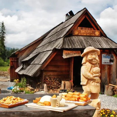 Cheese dairies & pasturesBiały Potok Shepherd's Hut, Witów: oscypek and cheese workshopsKościelisko15 km from The grassy hole of Salatín and Brestová in the Western TatrasBiały Potok meadow in the village of Witów lies between the entrances to two of the most visited Tatra valleys, Chochołowska and Kościeliska.
