Junction below Lyscom – Salatín
Trail map
Route, springs and shelters: © OpenStreetMap contributors (ODbL) · elevation: Copernicus DEM © DLR e.V., © Airbus DS · Data & licences
About the trail
Route Junction below Lyscom – Salatín. Has green marking (regional route №5611, KST). Waymarking data: OpenStreetMap (© OpenStreetMap contributors, ODbL).
Officially marked regional tourist route No. 5611. The marking is green, the sign is a horizontal stripe on a white background. Marked and maintained by: KST. Length of the route — 4.2 km. Location: mountain range — Western Tatras, Slovakia. The route in the Tatra National Park (TANAP): high-altitude sections are closed from November 1 to June 15 — before heading out, check the current dates at tanap.sk.
At a glance
A short route of 4.2 km with 969 m of ascent from Junction below Lyscom to Salatín. Estimated walking time: about 2.5 h, not counting stops. Difficulty: easy. Waymarking: green.
Route stages
- 0–4 kmClimb of 970 m (up to 2,024 m)
Steepest kilometre: km 3–4, a climb of 400 m (≈40%).
Water and overnight stays
Our map shows no springs near the trail — bring your own water (at least 1.5 l).
When to go
Best time: June to September. In winter only for experienced hikers with proper gear: avalanche danger is possible.
Getting there
Start: Junction below Lyscom. This is a one-way route: the finish is 3 km from the start in a straight line, so plan your way back in advance.
FAQ
- How long does the route take?
- Estimated walking time: about 2.5 h, not counting stops.
- Is there water on the route?
- Our map shows no springs near the trail — bring your own water (at least 1.5 l).
Comments
Trails nearby
All trails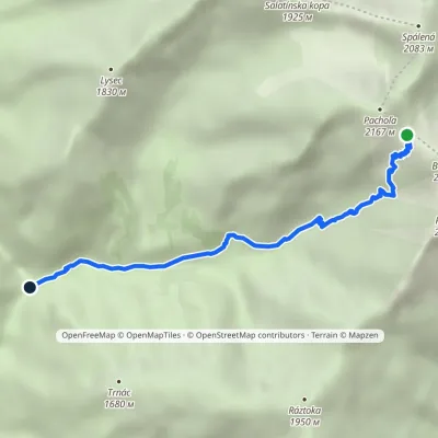 EasyOne-dayMarkedJunction below Lysec Baníkovské sedloElevation profile1 038–2 041 m4.7 km≈ 1 h walking
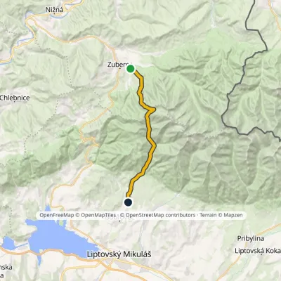 ModerateTwo-dayMarkedJalovec ZuberecElevation profile683–1 579 m17.6 kmascent 772 m≈ 6 h walking
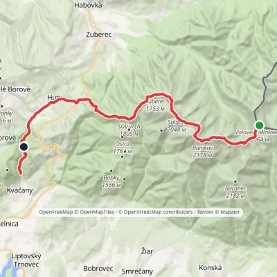 HardMulti-dayMarkedÚstie Kvačianskej doliny Pyšné sedlovia VolovecElevation profile644–2 169 m27.6 kmascent 1 322 m≈ 9.5 h walking
Craft nearby
All craft places Cheese dairies & pasturesShepherds' Huts on Polana Chochołowska11 km from the trailPolana Chochołowska is the largest glade in the Polish Tatras and one of the largest in the whole range.
 Water parks & thermal poolsAquapark Tatralandia11 km from the trailAquapark Tatralandia is a large year-round water leisure complex near Liptovský Mikuláš, on the northern shore of the Liptovská Mara reservoir.
 Water parks & thermal poolsOravice thermal pools14 km from the trailThe Oravice thermal pools (Termálne kúpalisko Oravice) are the municipal thermal baths in the mountain settlement of Oravice at the foot of the Western Tatras.
 Water parks & thermal poolsMeander Thermal Resort, Oravice14 km from the trailMeander Thermal & Ski Resort (formerly Meander Park) is a thermal water park and ski centre in the mountain settlement of Oravice in northern Slovakia, at the foot of...
 Koliby & Hutsul cuisineSalaš Dechtáre above Liptovská Mara15 km from the trailSalaš Dechtáre is a wooden koliba above the Liptovská Mara reservoir that is described as one of Slovakia’s first commercial salaš restaurants.
 Water parks & thermal poolsTERMAL raj thermal bath, Liptovský Ján17 km from the trailLiptovský Ján: thermal water at the entrance to Jánska dolina Liptovský Ján is an old village in southern Liptov, about 10 km from Liptovský Mikuláš, at the entrance...
