Małołączniak
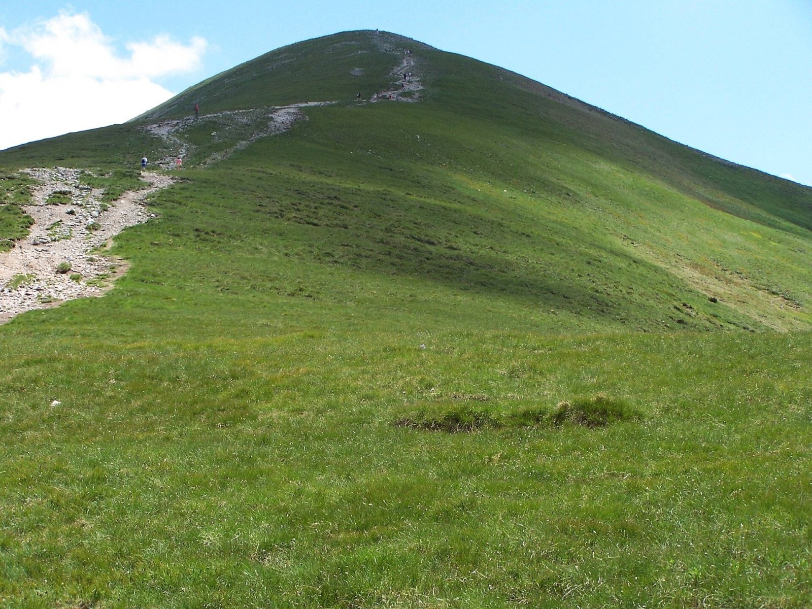
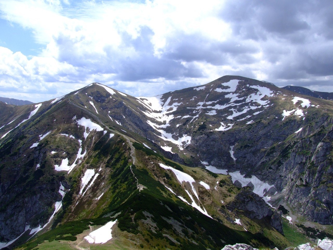
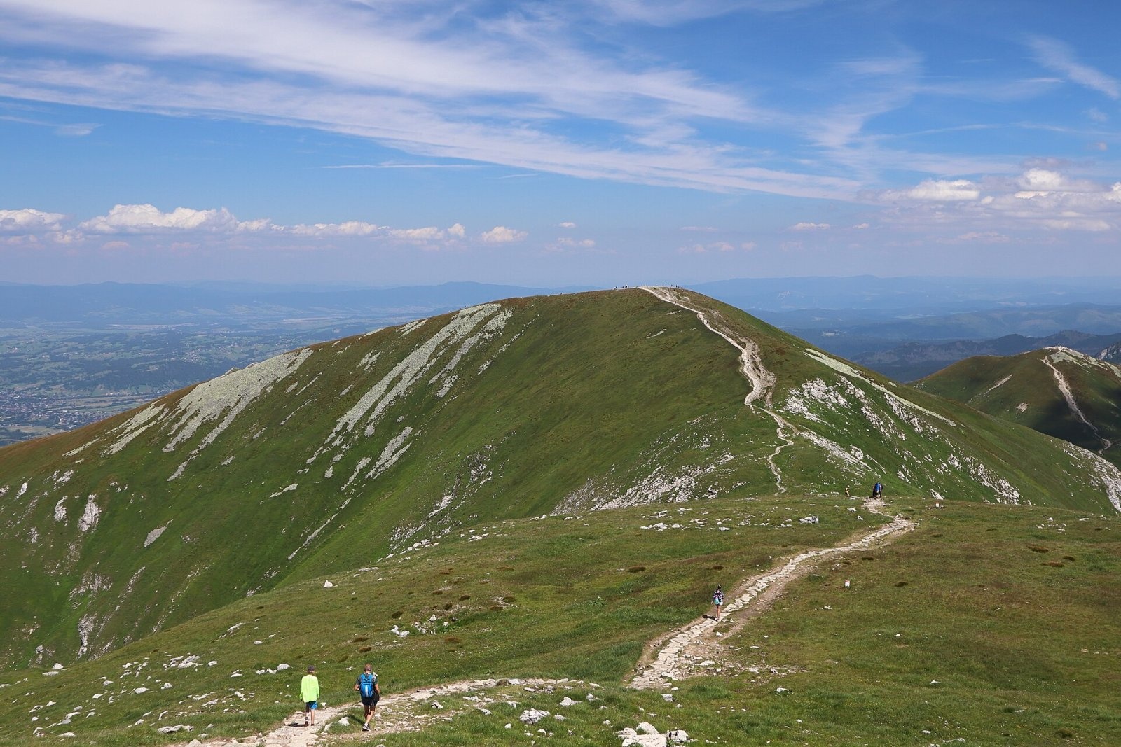
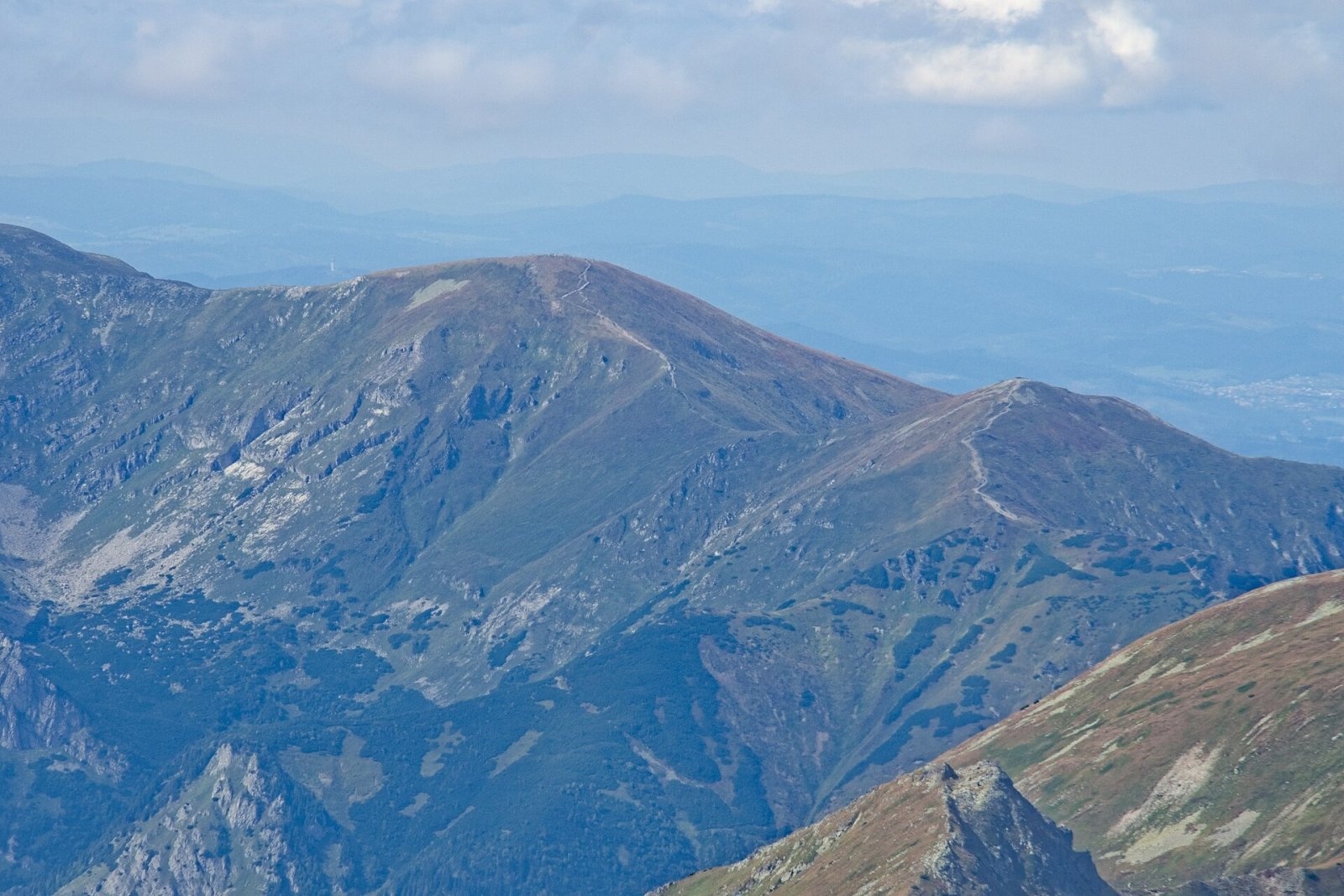
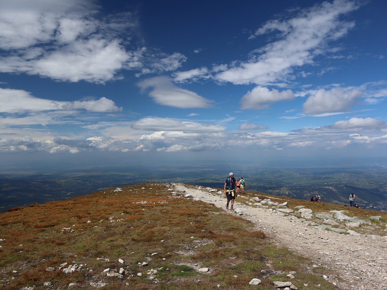
Małołączniak (Slovak Malolúčniak) is a 2,096 m summit of the Western Tatras on the main Tatra ridge along the Polish–Slovak border. It is one of the four peaks of the Czerwone Wierchy massif: Kopa Kondracka (2,005 m) lies to the east beyond Małołącka Pass (1,924 m), and Krzesanica (2,122 m) to the west beyond Litworowa Pass (2,037 m). The summit rises above three major valleys — the Slovak Tichá dolina and the Polish Mała Łąka and Kościeliska valleys. It was once called Czerwony Wierch and gave its name to the whole group; the present name comes from the former Hala Mała Łąka pasture below its northern slopes. A small part of the summit can be seen from some places in Zakopane, south-east of Giewont.
To the north-west runs the long, gentle Czerwony Grzbiet ridge, which separates the Mała Łąka and Litworowa valleys. On its eastern side it is undercut by the steep cliffs of Wielka Turnia, and below Kobylarzowe Siodełko the ridge breaks off in several crags — Pośrednia and Skrajna Małołącka Turnia, Zagonna Turnia and Kobylarzowa Turnia.
How to get there / routes
All marked trails to the summit run on the Polish side through Tatra National Park:
- the red ridge trail along the Czerwone Wierchy from the Kościeliska valley via Ciemniak and Krzesanica, continuing east via Kopa Kondracka to Kasprowy Wierch and Świnica. According to Polish Wikipedia, Ciemniak to Małołączniak takes about 40 min and the summit to Kopa Kondracka about 25 min;
- the blue trail from Przysłop Miętusi through the Miętusia valley, Kobylarzowy Żleb and Czerwony Grzbiet — about 4 hours up and 3 hours down. In the lower part of Kobylarzowy Żleb it is secured with three chains (minor technical difficulty). At Przysłop you can turn off to Kiry or Nędzówka.
A cable car runs from Zakopane (Kuźnice) to Kasprowy Wierch, from where you can walk along the ridge to Małołączniak. The ascent itself has no technical difficulties — local people have long climbed it, and today it is one of the most visited summits in the Tatras.
What you can see from the summit
The rocky, grassy top gives an all-round view: many peaks of the Western and High Tatras with their valleys, and in good conditions much of the Low Tatras and the northern horizon from the Kriváň Fatra and Orava Beskids to Spišská Magura. Kriváň and the Liptov Kopy are also well seen from Małołączniak.
Nature and history
The massif is built of limestones and dolomites, with a cap of crystalline rocks above about 1,840 m. Karst is strongly developed in the limestone: the northern slopes hold the deepest caves of the Tatras — Wielka Śnieżna (the longest and deepest cave in Poland) and Śnieżna Studnia — as well as the relatively recently discovered Siwy Kocioł cave. Thanks to the mix of granite and limestone the flora is very rich: granite-loving grasses grow on the summit, lime-loving communities lower down, and near Małołącka Pass the large flowers of the rare Transylvanian globeflower bloom in July.
The slopes used to be grazed right up to the summit, and overgrazing eroded the thin soil. After the mountain was included in Tatra National Park grazing stopped and the slopes recovered, but heavy foot traffic has caused severe erosion of the trails — especially the blue one on Czerwony Grzbiet.
Safety, season and rules
Entry to Tatra National Park is paid: a ticket is required whichever trail you take and can be bought at the entry points or online. Walking is allowed only on marked trails. The Czerwone Wierchy ridge is exposed to wind; dense fog can roll in suddenly, making it easy to get lost on the broad slopes, and summer thunderstorms are dangerous. In winter the slopes are avalanche-prone and the blue trail through Kobylarzowy Żleb ices over. On the Polish side help comes from TOPR: 985 or +48 601 100 300; the general emergency number is 112. The Slovak side lies in TANAP, served by the HZS rescue service: 18 300.
Interesting facts
- Besides the usual height of 2,096 m, other figures appear too — 2,104–2,105 m.
- 15% of Tatra National Park ticket revenue supports the TOPR rescue service.
- The Czerwony Grzbiet ridge, a long spur to the north-west, takes its name from the mountain's old name, Czerwony Wierch.
Photos: Opioła Jerzy, CC BY 2.5; Jerzy Opioła, CC BY-SA 4.0; Cybularny, CC0; Adrian Tync, CC BY-SA 4.0; Cybularny, CC0; Gorofil, CC BY-SA 4.0; MOs810, CC BY-SA 4.0 — Wikimedia Commons.
Getting there from Ukraine
Border crossings
- Krakovets – Korczowa — road, 24/7
- Shehyni – Medyka — road, 24/7 Pedestrian crossing is not confirmed by the Ukrainian border service — check dpsu.gov.ua before the trip.
- Smilnytsia – Krościenko — road, 24/7
- Hrushiv – Budomierz — road, 24/7
- Mostyska – Przemyśl (rail) — rail, 24/7
By car
Lviv – Zakopane ≈421 km, ≈5 h 10 min without border queues. Route: M-10 Lviv – Krakovets → Krakovets – Korczowa checkpoint → A4 motorway (Rzeszów – Tarnów – Kraków) → Kraków southern bypass → S7/DK7 → DK47 ('Zakopianka') via Nowy Targ → Zakopane. The A4 Katowice – Kraków section (Balice and Mysłowice toll plazas) is tolled, but this route does not use it. In summer and at weekends the DK47 near Zakopane is often congested.
Checked 23.10.2026; border crossing hours and timetables change — check before you travel.
Location on the map
Water and shelter nearby
- Ratuszowe Spring810 m · Not verified · 1 864 m
- Občasná Spring1.3 km · Not verified · 1 473 m
- Spring below Kondracka Kopka1.6 km · Not verified · 1 590 m
- Spring below Liptovská Tomanová1.6 km · Not verified · 1 444 m
- Spring below Głazista Turnia / Stoly1.7 km · Not verified · 1 570 m
- Spring below Upłaziańska Kopa2.2 km · Not verified · 1 688 m
- Spring below Štrky2.4 km · Not verified · 1 249 m
- Spring below Piec2.4 km · Not verified · 1 624 m
- Spring below Upłaziańska Kopka2.6 km · Not verified · 1 157 m
- Spring below Czarna Turnia2.7 km · Not verified · 1 201 m
- Hala Kondratowa Hut2.8 km · Standing · 1 333 m
Comments
Trails nearby
All trails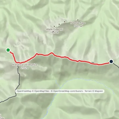 HardOne-dayMarkedCzerwone Wierchy: Chuda Przełączka Kasprowy WierchElevation profile1 738–2 122 m7.7 kmascent 776 m≈ 3.5 h walkingunder 1 km from Małołączniak
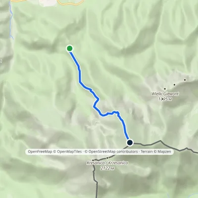 ModerateOne-dayMarkedPrzysłop Miętusi MałołączniakElevation profile1 190–2 093 m4.5 kmascent 904 m≈ 3 h walkingunder 1 km from Małołączniak
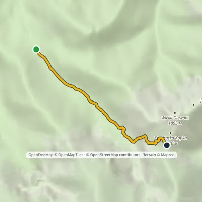 ModerateOne-dayMarkedRówienki Kondracka PassElevation profile1 164–1 720 m3.1 kmascent 553 m≈ 2 h walking1.3 km from Małołączniak
Nearby attractions
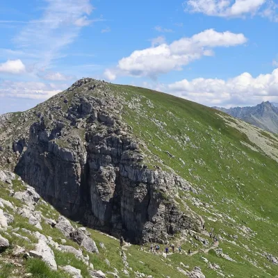 PeakKrzesanicaKościeliskoaltitude 2 122 munder 1 km from Małołączniak1 trail to the topKrzesanica (Slovak: Kresanica) is a 2,122 m peak on the main ridge of the Western Tatras, on the border between Poland and Slovakia.
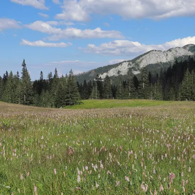 Mountain meadowHala KondratowaZakopanealtitude 1 333 m2.6 km from MałołączniakHala Kondratowa is a former pasture in the Kondratowa Valley of the Western Tatras, on the southern side of the Giewont massif, inside the Tatra National Park (TPN).
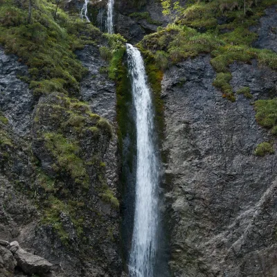 WaterfallSiklawica WaterfallZakopane2.7 km from MałołączniakSiklawica (also Siklawica Strążyska) is a waterfall in the Western Tatras, in the upper part of the Strążyska Valley (strictly speaking in its branch called Mała...
Craft nearby
All craft places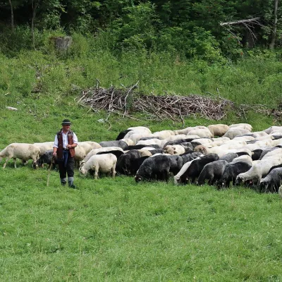 Cheese dairies & pasturesShepherd's Hut in the Kościeliska ValleyKościelisko5 km from MałołączniakJózef Słodyczka's bacówka (shepherd's hut) on the Wyżnia Kira Miętusia glade is probably the most easily reached shepherds' hut in the Polish Tatras.
 Cheese dairies & pasturesFurtek's Shepherd's Huts, Kuźnice and KalatówkiZakopane6.3 km from MałołączniakAbove Kuźnice — the southern edge of Zakopane where most hikes into the Western and High Tatras begin — the flocks are tended by baca Andrzej Staszel, nicknamed "Furtek".
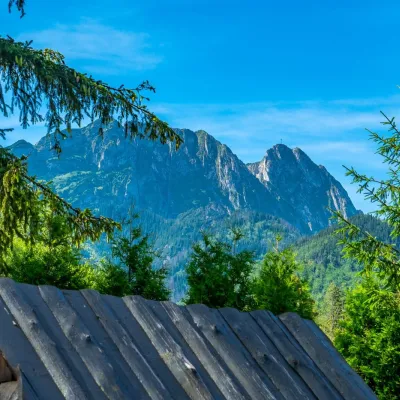 Koliby & Hutsul cuisineBąkowo Zohylina Wyźnio Highland TavernZakopane6.3 km from MałołączniakBąkowo Zohylina Wyźnio is a regional highland tavern in Zakopane housed in a wooden "szałas" (shepherd-hut-style building) with a view of the Tatras.
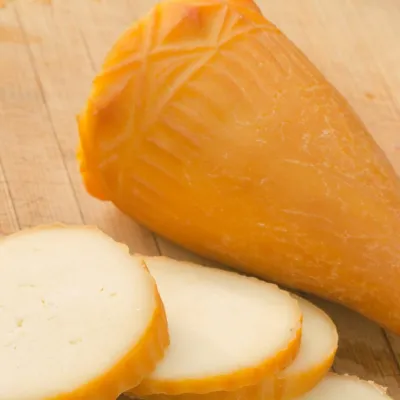 Cheese dairies & pasturesDom Oscypka, Krupówki, Zakopane: cheese-making workshop with a bacaZakopane6.9 km from MałołączniakDom Oscypka ("House of Oscypek") is a workshop studio on Krupówki in the very centre of Zakopane, where you can see how highland cheese is made from milk and make some...
 Crafts & workshopsSztukomania Studio, Zakopane: handmade ceramics and pottery workshopsZakopane7 km from MałołączniakSztukomania is a small ceramics and woodwork studio on Staszica street in Zakopane, a few minutes' walk from Krupówki.
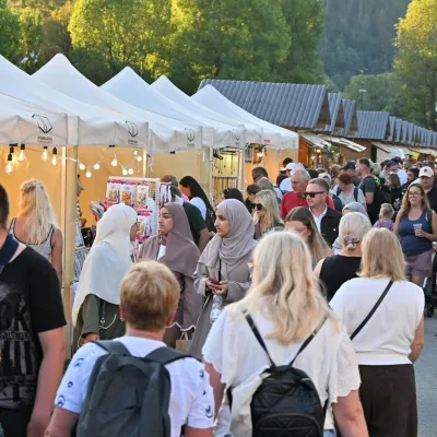 Markets & fairsEuropean Fair of Regional Products, Zakopane (every August)Zakopane7.1 km from MałołączniakThe European Fair of Regional Products (Europejskie Targi Produktów Regionalnych) is a five-day festival of food, crafts and music held every August on Górna Równia...
