Czerwone Wierchy: Chuda Przełączka — Kasprowy Wierch
Trail map
Route, springs and shelters: © OpenStreetMap contributors (ODbL) · elevation: Copernicus DEM © DLR e.V., © Airbus DS · Data & licences
About the trail
Route Czerwone Wierchy: Chuda Przełączka – Kasprowy Wierch. Has red marking (regional route). Waymarking data: OpenStreetMap (© OpenStreetMap contributors, ODbL).
Officially marked regional tourist route. The marking is red, the sign is a horizontal stripe on a white background. The length of the route is 7.7 km. Location: mountain range — Western Tatras, Slovakia. The route is in the Tatra National Park (TANAP): high-altitude sections are closed from November 1 to June 15 — before heading out, check the current dates at tanap.sk.
At a glance
A one-day route of 7.7 km with 776 m of ascent from Chuda Przełączka to Kasprowy Wierch. Estimated walking time: about 3 h, not counting stops. Difficulty: hard. Waymarking: red.
Route stages
- 0–7.5 kmAlong the ridge at 1,800–2,100 m, past Ciemniak, Krzesanica, Małołączniak, Kopa Kondracka
Steepest kilometre: km 0–1, a climb of 230 m (≈23%), near Szerokie Siodło.
Water and overnight stays
Our map shows no springs near the trail — bring your own water (at least 2 l).
When to go
Best time: June to September. In winter only for experienced hikers with proper gear: avalanche danger is possible. About 8 km of the route runs above 1,500 m, where the weather changes quickly — check the forecast.
Getting there
Start: Chuda Przełączka. This is a one-way route: the finish is 6 km from the start in a straight line, so plan your way back in advance.
FAQ
- How long does the route take?
- Estimated walking time: about 3 h, not counting stops.
- Is there water on the route?
- Our map shows no springs near the trail — bring your own water (at least 2 l).
Comments
Trails nearby
All trails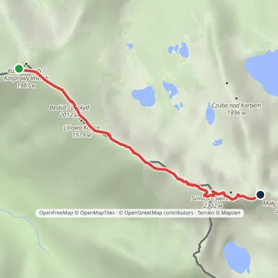 HardOne-dayMarkedKasprowy Wierch Zawratvia ŚwinicaElevation profile1 946–2 257 m3.6 kmascent 397 m≈ 1.5 h walking
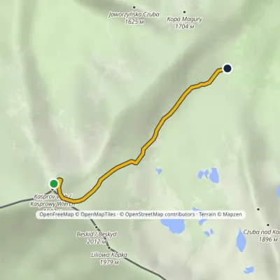 ModerateOne-dayMarkedKasprowy Wierch Murowaniec HutElevation profile1 502–1 987 m2.7 kmascent 1 m≈ 45 min walking
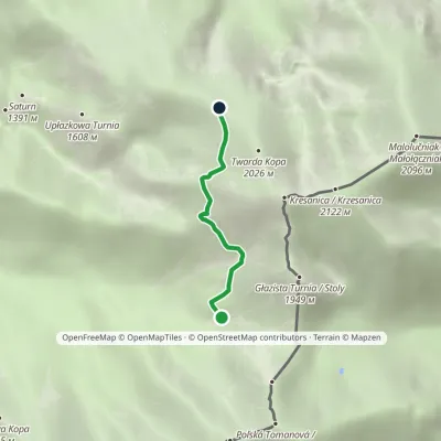 ModerateOne-dayMarkedTomanowy Potok Chuda PrzełączkaElevation profile1 480–1 872 m2.4 kmascent 392 m≈ 1.5 h walking
Craft nearby
All craft places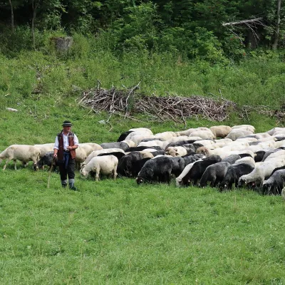 Cheese dairies & pasturesShepherd's Hut in the Kościeliska ValleyKościelisko3.7 km from the trailJózef Słodyczka's bacówka (shepherd's hut) on the Wyżnia Kira Miętusia glade is probably the most easily reached shepherds' hut in the Polish Tatras.
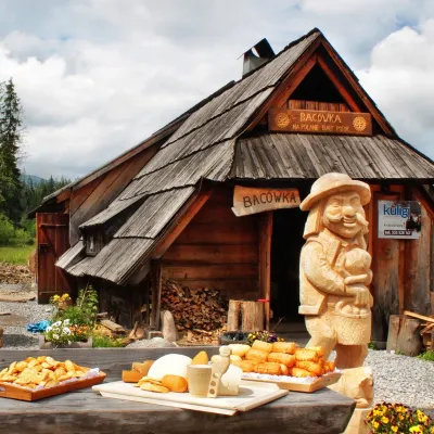 Cheese dairies & pasturesBiały Potok Shepherd's Hut, Witów: oscypek and cheese workshopsKościelisko6 km from the trailBiały Potok meadow in the village of Witów lies between the entrances to two of the most visited Tatra valleys, Chochołowska and Kościeliska.
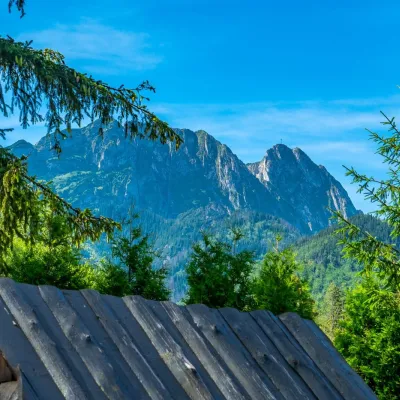 Koliby & Hutsul cuisineBąkowo Zohylina Wyźnio Highland TavernZakopane7.2 km from the trailBąkowo Zohylina Wyźnio is a regional highland tavern in Zakopane housed in a wooden "szałas" (shepherd-hut-style building) with a view of the Tatras.
 Cheese dairies & pasturesFurtek's Shepherd's Huts, Kuźnice and KalatówkiZakopane7.5 km from the trailAbove Kuźnice — the southern edge of Zakopane where most hikes into the Western and High Tatras begin — the flocks are tended by baca Andrzej Staszel, nicknamed "Furtek".
 Cheese dairies & pasturesDom Oscypka, Krupówki, Zakopane: cheese-making workshop with a bacaZakopane7.5 km from the trailDom Oscypka ("House of Oscypek") is a workshop studio on Krupówki in the very centre of Zakopane, where you can see how highland cheese is made from milk and make some...
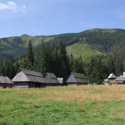 Cheese dairies & pasturesShepherds' Huts on Polana ChochołowskaKościelisko7.5 km from the trailPolana Chochołowska is the largest glade in the Polish Tatras and one of the largest in the whole range.
