Ciemniak
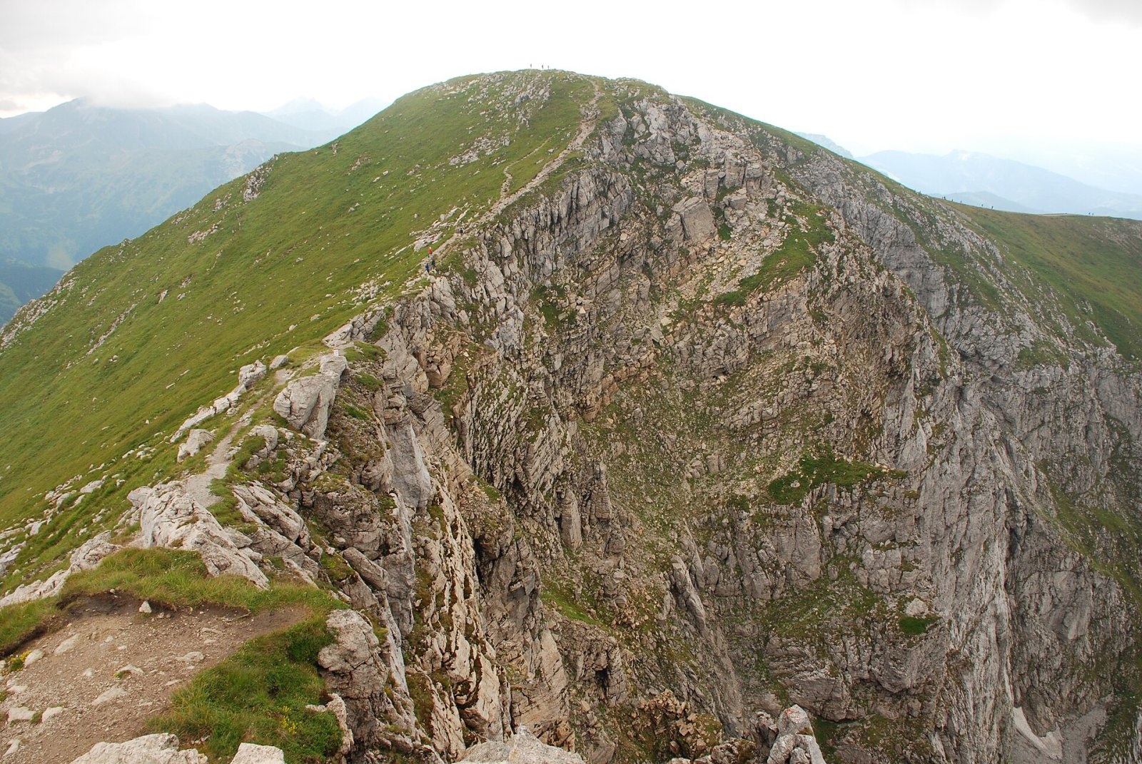
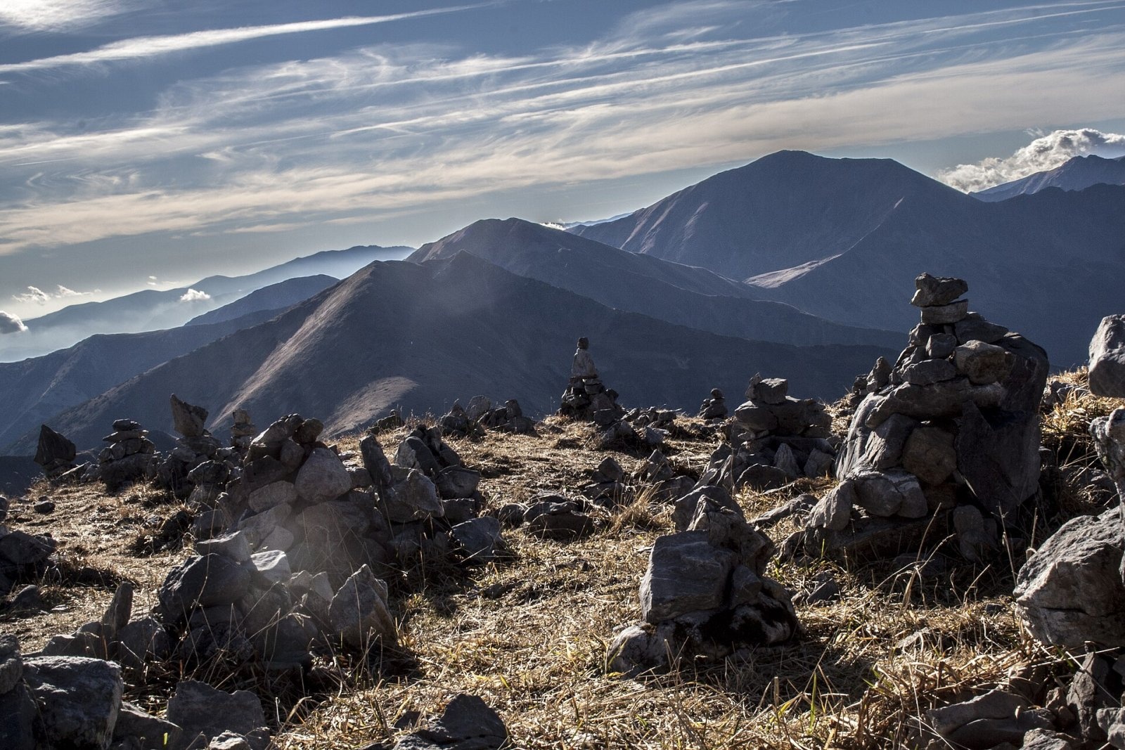
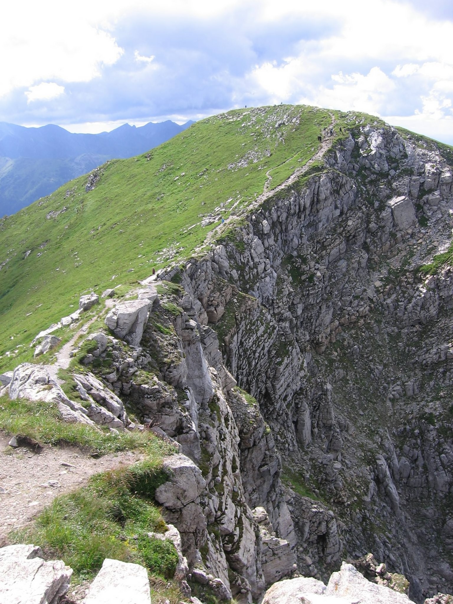
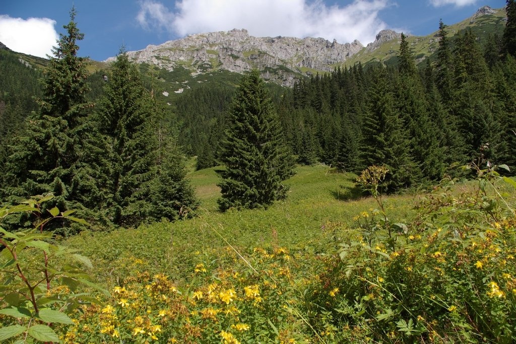
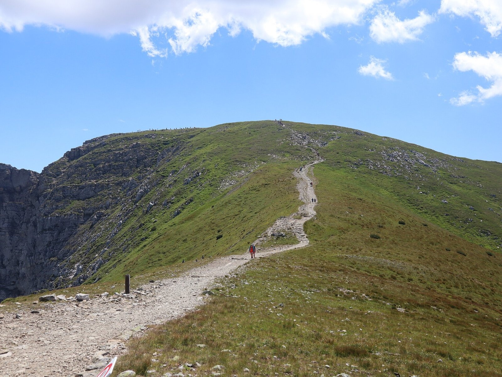
Ciemniak (Slovak: Temniak) is a 2,096 m summit in the Western Tatras and the westernmost of the four peaks of the Czerwone Wierchy (Red Peaks) massif. It stands on the main Tatra ridge, which carries the Polish–Slovak border. The northern and western slopes belong to the commune of Kościelisko in Tatra County, while the south-eastern slopes drop into the Slovak Tichá dolina above Podbanské. The nearest hamlets of Kościelisko — Gronik, Nędzówka and Kiry — lie 5–6 km to the north, with Zakopane a little further north-east. Slovak sources quote a height of 2,090 m; Slovak Wikipedia gives 2,096.3 m.
At Ciemniak the main Tatra ridge turns sharply, by about 90°. The broad, flat summit dome is separated from Krzesanica by the shallow Mułowa Pass (2,067 m), while to the south the ridge runs over Tomanowe Stoły down to the deep Tomanowa Pass (1,686 m). Four ridges radiate from the top, among them the north-western Twardy Grzbiet with Twarda Kopa, which divides the Kościeliska and Miętusia valleys. Ciemniak rises above the Kościeliska, Tomanowa, Miętusia and Liptovská Tomanová valleys and the small glacial cirque of the Mułowa Valley. The name most likely comes from that valley, which shepherds once called the Dark Valley (Dolina Ciemna).
How to get there / trails
The summit can only be reached from the Polish side, on marked trails of the Tatra National Park (TPN). The ascent is not technically difficult, but it is a proper high-mountain hike with a large height gain.
- Red trail from Cudakowa Polana in the Kościeliska Valley via Adamica, Polana Upłaz and the Chuda Przełączka saddle — about 3 h 25 min up and 2 h 30 min down.
- Red ridge trail along Czerwone Wierchy: from Ciemniak via Krzesanica, Małołączniak and Kopa Kondracka to Kasprowy Wierch — about 3 h (2 h 55 min the other way). Kasprowy Wierch is a convenient start or finish for the traverse.
- Green trail via Twardy Grzbiet, Chuda Przełączka, Czerwony Żleb and the Tomanowa Valley to the hut on Hala Ornak — about 2 h 40 min down and 3 h 40 min up. It shares the route with the red trail as far as Chuda Przełączka.
There is no marked path to the summit from the Slovak side.
The view from the top
The grassy, rocky summit offers an all-round view. The Kościeliska Valley and the Western Tatras are particularly well seen, as is the Orava Reservoir. Slovak sources add many High Tatra peaks and, in good visibility, the eastern Low Tatras, the Kriváň part of the Malá Fatra, the Oravská Magura and the Orava Beskids. Close by rise Krzesanica, Małołączniak, Ornak, Kominiarski Wierch and Giewont.
Nature and history
Ciemniak is built of Middle Triassic dolomite interbedded with limestone; only the upper part of Twardy Grzbiet is capped with hard crystalline rock. The steep western slope above the Kościeliska Valley is studded with outcrops known as Rzędy Tomanowe, separated by the Czerwone Żlebki gullies, which merge lower down into Czerwony Żleb. The limestone holds many caves, including Miętusia Cave and the Ice Cave in Ciemniak, and right below the summit lies the Studzienka w Ciemniaku cave.
By mid-summer the three-leaved rush on Twardy Grzbiet turns brown and gives the summit a reddish tint — the origin of the name of the whole Czerwone Wierchy massif. Plants of both limestone and granite soils grow here; botanist Władysław Szafer explained this by granite gravel left over from an earlier crystalline cover. Rare alpine species recorded here include blunt-leaved rock jasmine, creeping sibbaldia and mountain plantain.
In the 19th century the mountain was called Czerwony Wierch Upłaziański: its whole northern ridge belonged to the Hala Upłaz pasture, and livestock grazed almost up to the summit. Iron ore was mined at the same time in Czerwony Żleb and the Czerwone Żlebki. The first recorded winter ascent dates from 1908.
Safety, season and rules
The Czerwone Wierchy have broad, gentle summits with few landmarks, so it is easy to lose the way in fog — stay with the waymarks. The ridge is fully exposed to wind and thunderstorms; in summer set off early and leave the ridge when a storm approaches. In winter and spring the slopes above the valleys are prone to avalanches, and the ridge can carry ice and snow cornices — crampons, an ice axe and the skill to use them are then essential. In the Tatra National Park you may walk only on marked trails; there is an entrance fee.
The Polish Tatras are covered by the TOPR rescue service: 985 or +48 601 100 300, and 112.
Photos: Hubert Waguła, CC BY-SA 4.0; karolinaspiewak, CC BY 3.0; Leafnode, CC BY-SA 2.5; Mszarek, CC BY 3.0; Cybularny, CC0; Cybularny, CC0; MOs810, CC BY-SA 4.0 — Wikimedia Commons.
Getting there from Ukraine
Border crossings
- Krakovets – Korczowa — road, 24/7
- Shehyni – Medyka — road, 24/7 Pedestrian crossing is not confirmed by the Ukrainian border service — check dpsu.gov.ua before the trip.
- Smilnytsia – Krościenko — road, 24/7
- Hrushiv – Budomierz — road, 24/7
- Mostyska – Przemyśl (rail) — rail, 24/7
By car
Lviv – Zakopane ≈421 km, ≈5 h 10 min without border queues. Route: M-10 Lviv – Krakovets → Krakovets – Korczowa checkpoint → A4 motorway (Rzeszów – Tarnów – Kraków) → Kraków southern bypass → S7/DK7 → DK47 ('Zakopianka') via Nowy Targ → Zakopane. The A4 Katowice – Kraków section (Balice and Mysłowice toll plazas) is tolled, but this route does not use it. In summer and at weekends the DK47 near Zakopane is often congested.
Checked 23.10.2026; border crossing hours and timetables change — check before you travel.
Location on the map
Water and shelter nearby
- Spring below Głazista Turnia / Stoly1.2 km · Not verified · 1 570 m
- Spring below Upłaziańska Kopa1.6 km · Not verified · 1 688 m
- Spring below Liptovská Tomanová1.6 km · Not verified · 1 444 m
- Ratuszowe Spring1.7 km · Not verified · 1 864 m
- Spring below Piec1.8 km · Not verified · 1 624 m
- Občasná Spring2 km · Not verified · 1 473 m
- Spring below Upłaziańska Kopka2.5 km · Not verified · 1 157 m
- Spring below Kondracka Kopka2.9 km · Not verified · 1 590 m
Comments
Trails nearby
All trails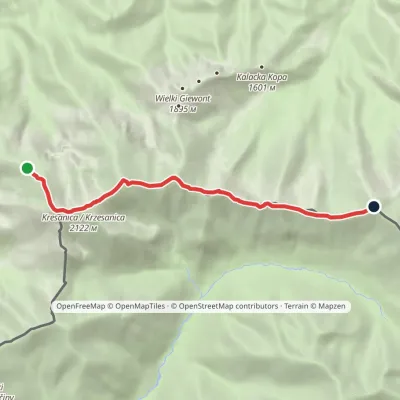 HardOne-dayMarkedCzerwone Wierchy: Chuda Przełączka Kasprowy WierchElevation profile1 738–2 122 m7.7 kmascent 776 m≈ 3.5 h walkingunder 1 km from Ciemniak
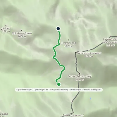 ModerateOne-dayMarkedTomanowy Potok Chuda PrzełączkaElevation profile1 480–1 872 m2.4 kmascent 392 m≈ 1.5 h walkingunder 1 km from Ciemniak
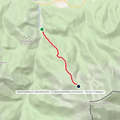 ModerateOne-dayMarkedCudakowa Polana Chuda PrzełączkaElevation profile956–1 858 m3.9 kmascent 902 m≈ 3 h walkingunder 1 km from Ciemniak
Nearby attractions
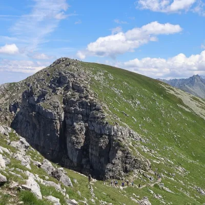 PeakKrzesanicaKościeliskoaltitude 2 122 munder 1 km from Ciemniak1 trail to the topKrzesanica (Slovak: Kresanica) is a 2,122 m peak on the main ridge of the Western Tatras, on the border between Poland and Slovakia.
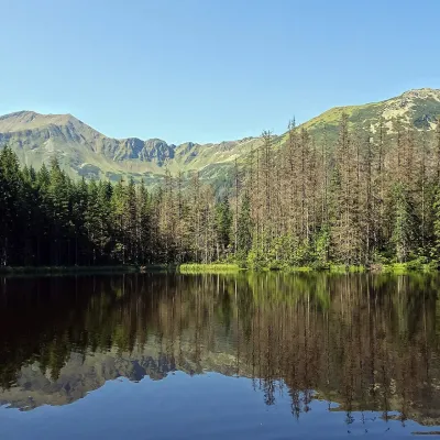 LakeSmreczyński Staw LakeKościelisko3 km from CiemniakSmreczyński Staw is a small glacial lake in the upper part of the Kościeliska Valley, at the mouth of the Pyszniańska Valley, at 1,226 m.
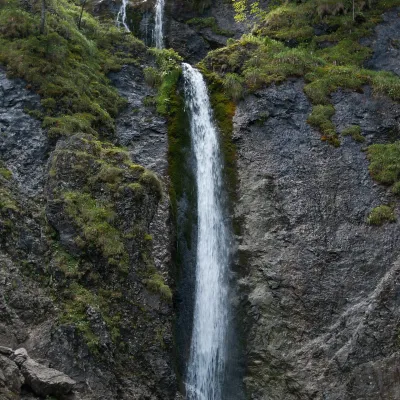 WaterfallSiklawica WaterfallZakopane3.7 km from CiemniakSiklawica (also Siklawica Strążyska) is a waterfall in the Western Tatras, in the upper part of the Strążyska Valley (strictly speaking in its branch called Mała...
Craft nearby
All craft places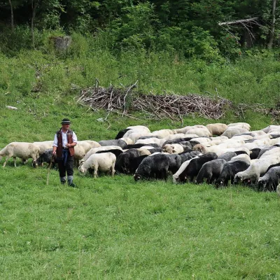 Cheese dairies & pasturesShepherd's Hut in the Kościeliska ValleyKościelisko4.7 km from CiemniakJózef Słodyczka's bacówka (shepherd's hut) on the Wyżnia Kira Miętusia glade is probably the most easily reached shepherds' hut in the Polish Tatras.
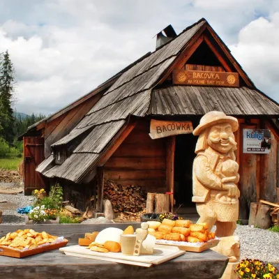 Cheese dairies & pasturesBiały Potok Shepherd's Hut, Witów: oscypek and cheese workshopsKościelisko7 km from CiemniakBiały Potok meadow in the village of Witów lies between the entrances to two of the most visited Tatra valleys, Chochołowska and Kościeliska.
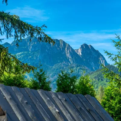 Koliby & Hutsul cuisineBąkowo Zohylina Wyźnio Highland TavernZakopane7.4 km from CiemniakBąkowo Zohylina Wyźnio is a regional highland tavern in Zakopane housed in a wooden "szałas" (shepherd-hut-style building) with a view of the Tatras.
 Cheese dairies & pasturesFurtek's Shepherd's Huts, Kuźnice and KalatówkiZakopane7.5 km from CiemniakAbove Kuźnice — the southern edge of Zakopane where most hikes into the Western and High Tatras begin — the flocks are tended by baca Andrzej Staszel, nicknamed "Furtek".
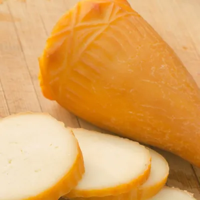 Cheese dairies & pasturesDom Oscypka, Krupówki, Zakopane: cheese-making workshop with a bacaZakopane7.8 km from CiemniakDom Oscypka ("House of Oscypek") is a workshop studio on Krupówki in the very centre of Zakopane, where you can see how highland cheese is made from milk and make some...
 Crafts & workshopsSztukomania Studio, Zakopane: handmade ceramics and pottery workshopsZakopane8 km from CiemniakSztukomania is a small ceramics and woodwork studio on Staszica street in Zakopane, a few minutes' walk from Krupówki.
