Prieková – Zábiedovo
Trail map
Route, springs and shelters: © OpenStreetMap contributors (ODbL) · elevation: Copernicus DEM © DLR e.V., © Airbus DS · Data & licences
About the trail
Route Prieková – Zábiedovo. Has blue marking (regional route №2689, KST). Waymarking data: OpenStreetMap (© OpenStreetMap contributors, ODbL).
Officially marked regional tourist route No. 2689. Marking is blue, sign — horizontal stripe on a white background. Marked and maintained by: KST. Length of the route — 12.8 km. Location: mountain range — Podhale and Spiš, Slovakia.
At a glance
A one-day route of 12.8 km with 355 m of ascent and 708 m of descent from Prieková to Zábiedovo. Estimated walking time: about 4 h, not counting stops. Difficulty: moderate. Waymarking: blue.
Route stages
- 0–4 kmDescent of 400 m (down to 762 m)
- 4–7 kmGentle ups and downs at 720–770 m
- 7–8 kmClimb of 220 m (up to 943 m)
- 8–11 kmDescent of 240 m (down to 703 m)
- 11–13 kmClimb of 110 m (up to 809 m)
Steepest kilometre: km 0–1, a descent of 210 m (≈20%).
Water and overnight stays
Springs near the trail: at km 8 and 10. There are no springs between km 0 and 8 — carry at least 1.5 l of water.
When to go
Best time: May to October. In winter deep snow is possible, so experience and winter gear are needed.
Getting there
Start: Prieková. This is a one-way route: the finish is 9 km from the start in a straight line, so plan your way back in advance.
FAQ
- How long does the route take?
- Estimated walking time: about 4 h, not counting stops.
- Is there water on the route?
- Springs near the trail: at km 8 and 10. There are no springs between km 0 and 8 — carry at least 1.5 l of water.
Water and shelter on the route
- Spring below Osly (north-west slope), 945 mkm 8.5 from the start · Not verified · 945 m
- Spring below Ostrý Vrch (east slope), 715 mkm 10.2 from the start · Not verified · 715 m
Comments
Trails nearby
All trails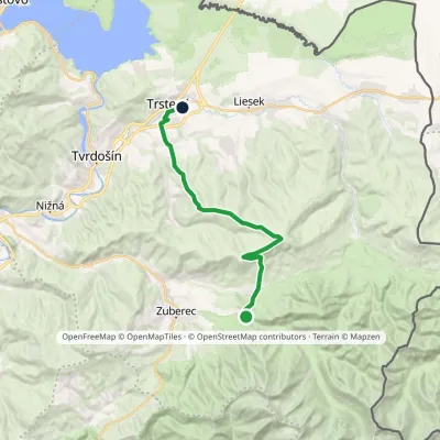 ModerateTwo-dayMarkedHoráreň Brestová Trstená, WestElevation profile603–1 314 m19.1 kmascent 591 m≈ 6 h walking
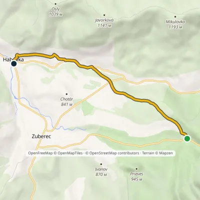 EasyOne-dayMarkedHabovka, Pod Klimkovým vŕškom Skanzen BrestováElevation profile715–927 m5.6 kmascent 61 m≈ 1.5 h walking
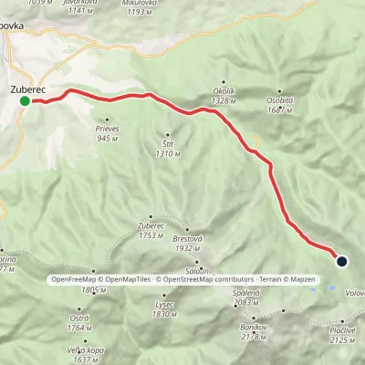 ModerateOne-dayMarkedZuberec Tatliakove plieskoElevation profile760–1 377 m12.8 kmascent 620 m≈ 4.5 h walking
Craft nearby
All craft places Water parks & thermal poolsOravice thermal poolsVitanová14 km from the trailThe Oravice thermal pools (Termálne kúpalisko Oravice) are the municipal thermal baths in the mountain settlement of Oravice at the foot of the Western Tatras.
 Water parks & thermal poolsMeander Thermal Resort, OraviceVitanová14 km from the trailMeander Thermal & Ski Resort (formerly Meander Park) is a thermal water park and ski centre in the mountain settlement of Oravice in northern Slovakia, at the foot of...
 Water parks & thermal poolsAquapark TatralandiaLiptovský Mikuláš16 km from the trailAquapark Tatralandia is a large year-round water leisure complex near Liptovský Mikuláš, on the northern shore of the Liptovská Mara reservoir.
 Cheese dairies & pasturesShepherds' Huts on Polana ChochołowskaKościelisko16 km from the trailPolana Chochołowska is the largest glade in the Polish Tatras and one of the largest in the whole range.
 Koliby & Hutsul cuisineSalaš Dechtáre above Liptovská MaraGalovany18 km from the trailSalaš Dechtáre is a wooden koliba above the Liptovská Mara reservoir that is described as one of Slovakia’s first commercial salaš restaurants.
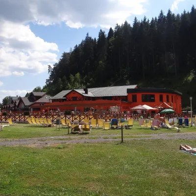 Water parks & thermal poolsLúčky Spa and AQUA-VITAL ParkLúčky18 km from the trailLúčky Spa (Kúpele Lúčky) lies in a quiet valley beneath the Choč Mountains, in the village of Lúčky near Ružomberok.
