Pachoľa
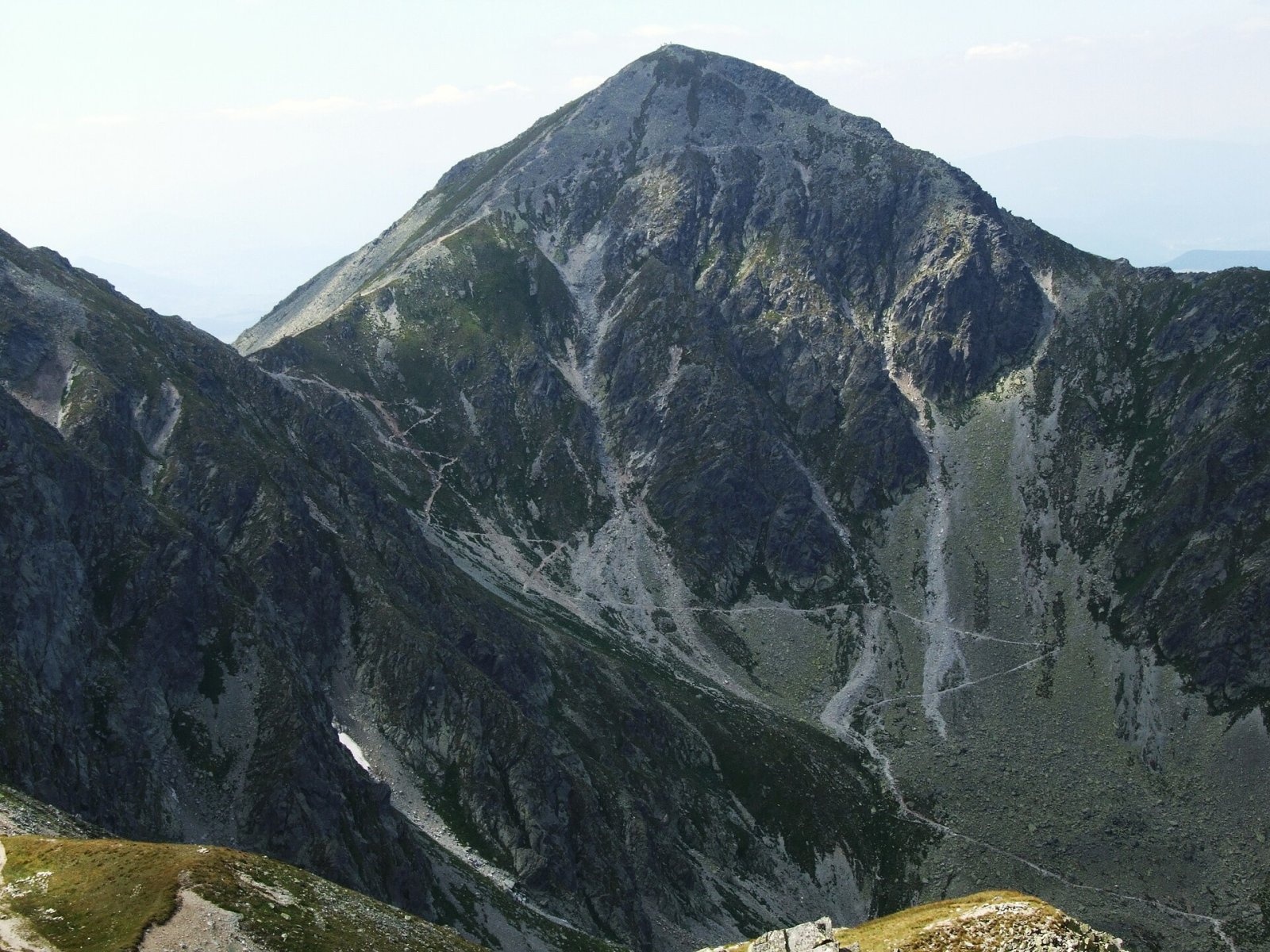
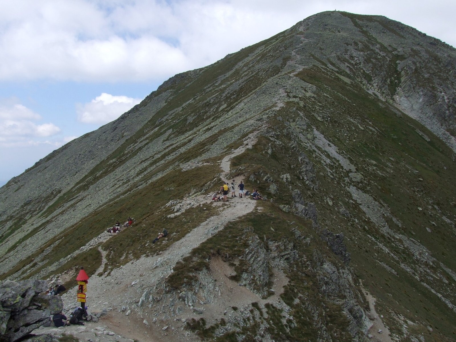
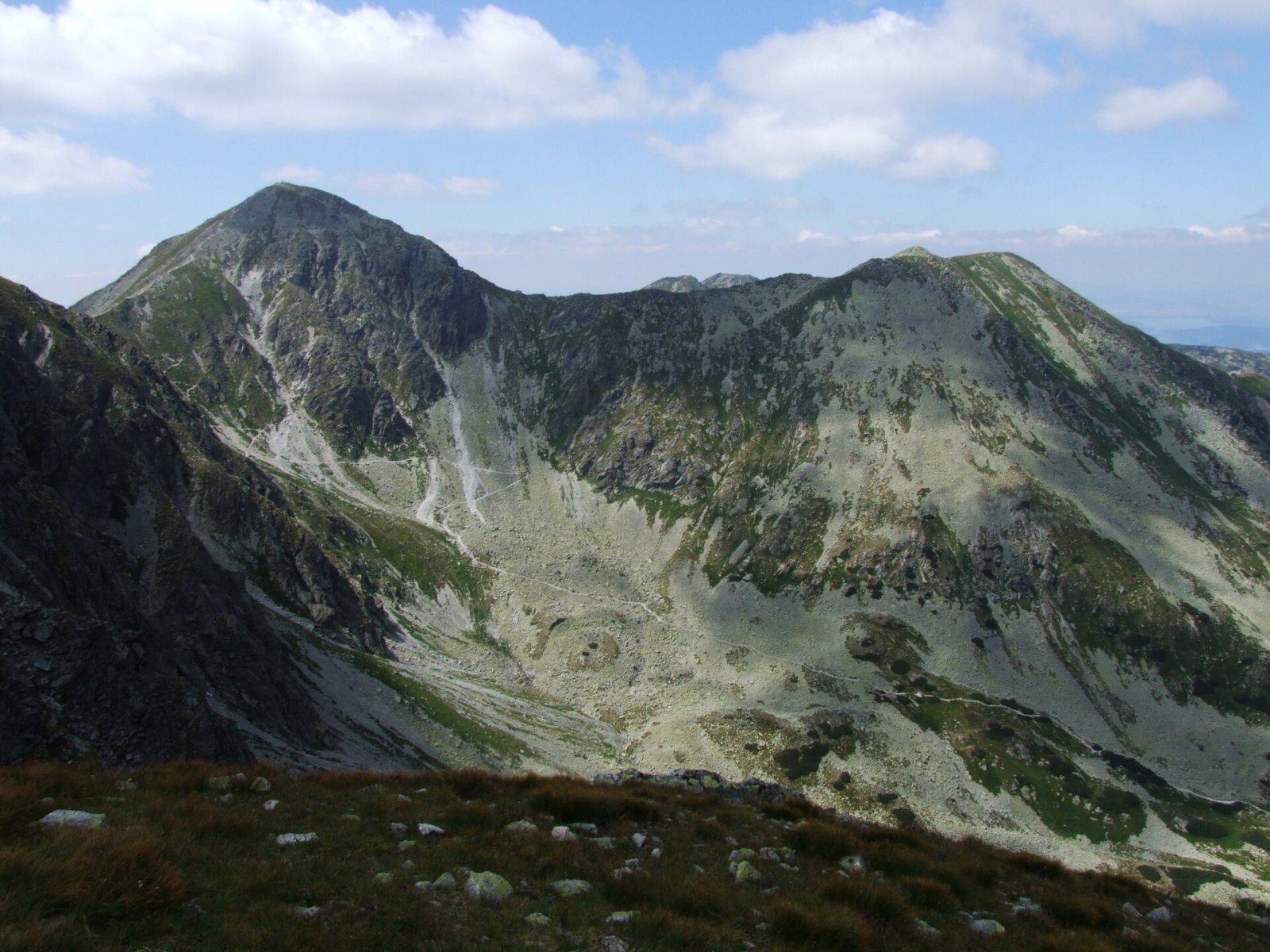
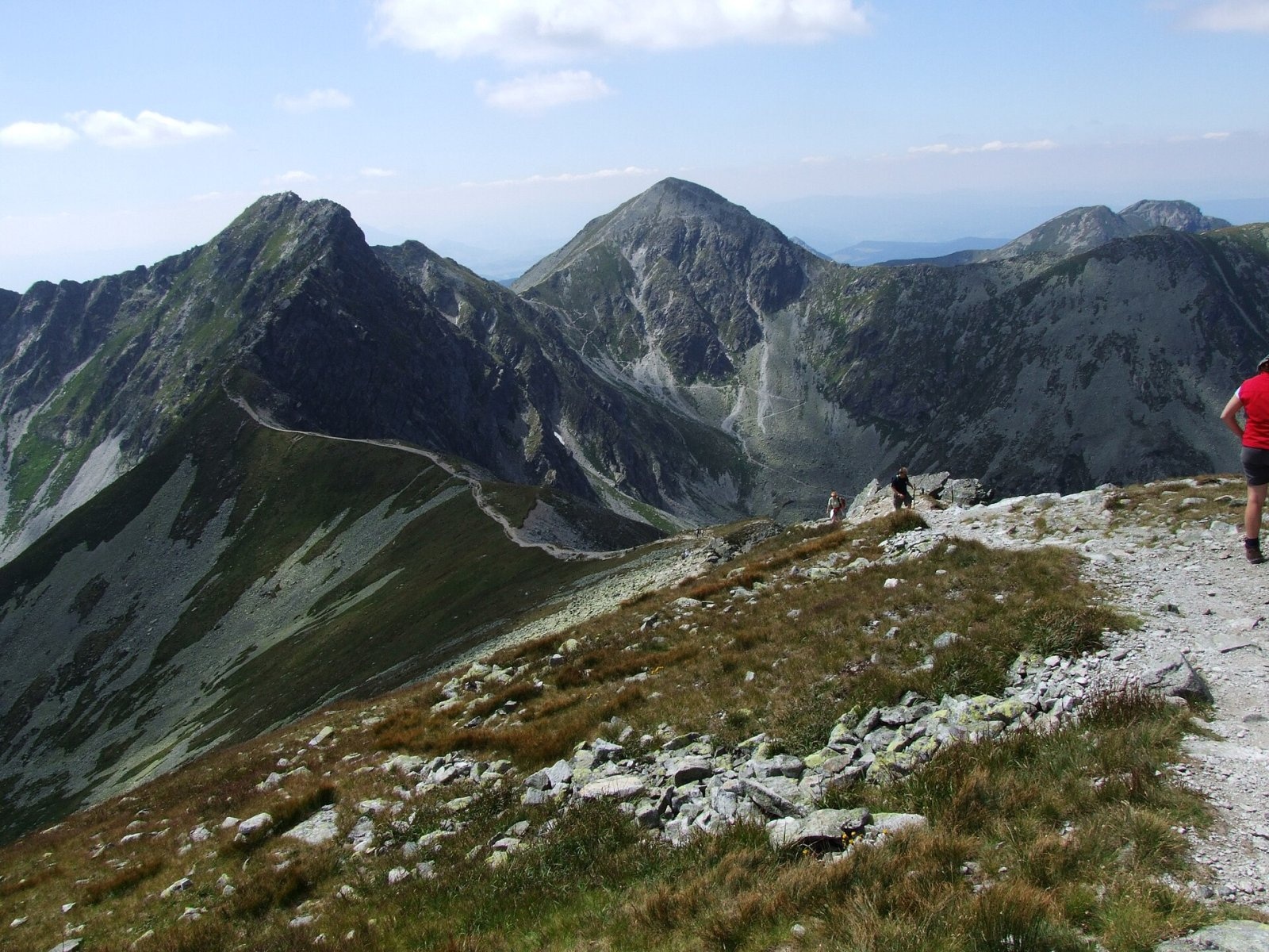
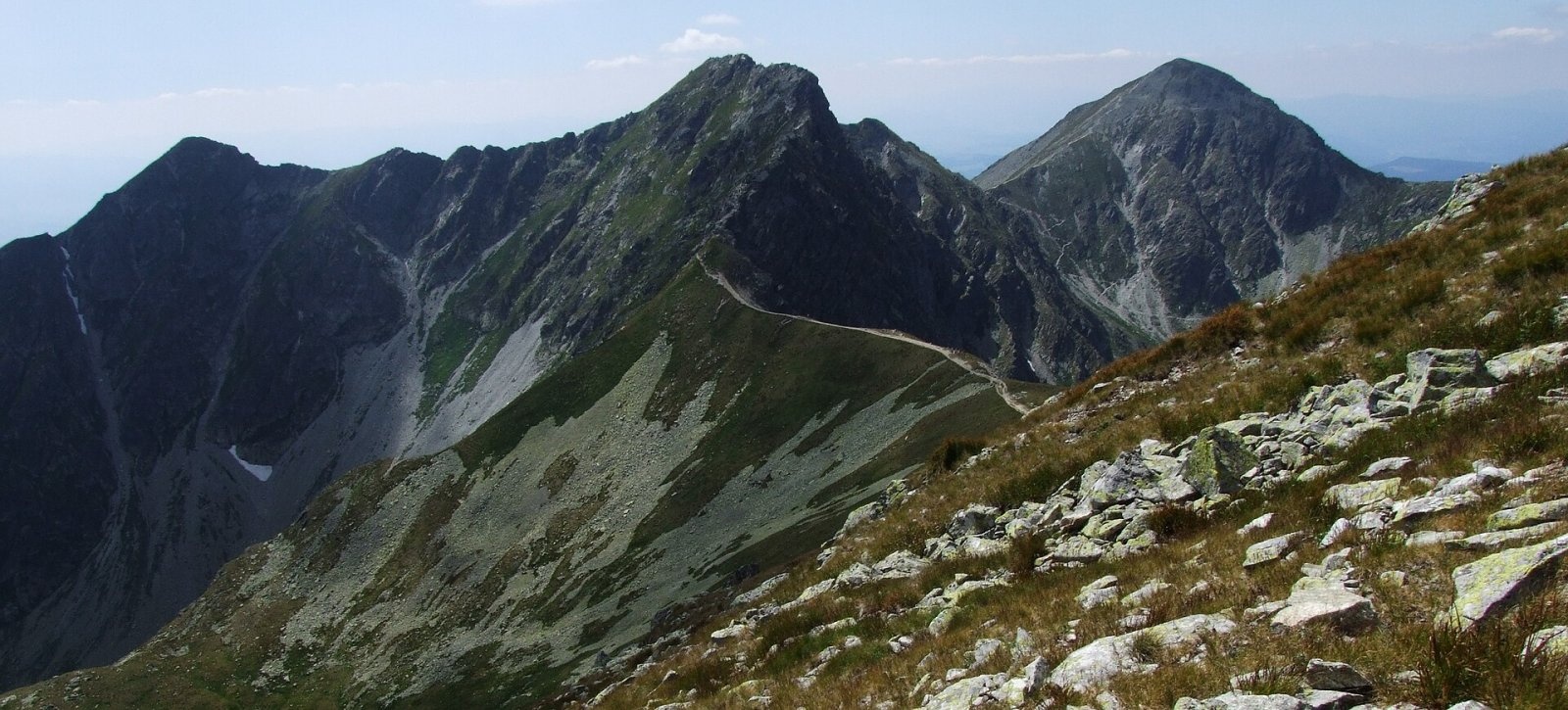
Pachoľa (Polish Pachoł or Pachola) is a striking pyramid-shaped 2,166.6 m summit on the main ridge of the Western Tatras, in their Roháče part. It rises above the head of the Parichvost valley and the village of Jalovec, about 16 km north-east of Liptovský Mikuláš, on the border between Orava and Liptov – in Liptovský Mikuláš and Tvrdošín districts of the Žilina Region, in the cadastres of Jalovec and Zuberec. The nearest settlements are Žiar and Jalovec to the south-west, Zuberec to the north-west and Oravice to the north-east. The massif belongs to the Tatra National Park (TANAP).
Pachoľa is a massive junction: here the main ridge bends, changing direction from south-east to north-east. To the north the Spálené saddle separates it from Spálená (2,083 m), to the south-east the Baníkovské saddle from Baníkov (2,178 m). The slopes fall into the wild, boulder-filled Spálená dolina to the north-east, into the glacial cirque Vrece at the head of Hlboká dolina to the north-west and into the Parichvost valley to the south and west. No avalanche gully falls from the rocky eastern side, whereas several gullies run down into the grassy Hlboká dolina and Parichvost.
How to get there / routes
The red ridge trail along the main crest of the Western Tatras crosses the summit.
- From the Baníkovské saddle – 20 min (down 15 min); from Spálená – 40 min.
- From the west – red trail from Sivý vrch via Brestová (1,903 m) and Salatín (2,048 m); from Pachoľa to the Middle Salatín saddle 1 h 55 min.
- From the east – red trail from Volovec via the Smutné and Baníkovské saddles.
- From the north, from the Zverovka junction, through Roháčska and Spálená dolina (green trail to the Baníkovské saddle) – the easiest ascent from a valley: about 3 h 40 min and 1,150 m of ascent.
- From Jalovec – yellow trail to the Pod Lyscom junction, then blue through the Parichvost valley to the Baníkovské saddle: about 5 h 05 min and 1,500 m of ascent.
- From Žiarska chata – green trail over Baníkov and the Baníkovské saddle.
What you can see from the summit
The stony top gives an all-round panorama. The north faces of Baníkov, the Roháče crest and Skriniarky look especially impressive from here. You can see Spálená, Baranec (2,185 m), Osobitá, Plačlivé, Ostrý Roháč, Volovec, Salatín and Brestová, and further away the High Tatra summits and the Liptov Basin. In good weather the Skorušina hills, the Orava Beskids, the Orava Magura, the Malá and Veľká Fatra, the Choč hills, the Low Tatras and the mountains of southern Poland are visible too.
Nature and history
Pachoľa has grassy and stony slopes, rocky in places lower down. Its water drains into two river basins: the southern slopes via the Jalovčianka to the Váh, the eastern ones through Spálená and Roháčska dolina and the Studený potok to the Orava. The head of the Parichvost valley below the slopes is called Závraty.
The origin of the name is unknown. The Slovak word means “little boy” or “small child”, but what it refers to is unclear. Two Polish variants have long been used – Pachola (used, for example, by Józef Nyka) and Pachoł (in the Great Tatra Encyclopaedia by the Paryskis); the mountain was formerly also called Patria. Older surveys gave 2,153, 2,166 or 2,167 m. It is the second-highest summit of the Roháče.
Safety, season and rules
The ridge trail runs above the tree line, so in TANAP it falls under the seasonal closure from 1 November to 31 May (except for a few sections announced by the park administration). Summer thunderstorms are frequent and the crest is exposed to wind; in winter and spring avalanches come down the slopes towards Hlboká dolina and Parichvost. Stay on marked trails in the national park. Mountain Rescue Service HZS: 18 300 (+421 18 300) or 112.
Interesting facts
- Pachoľa is a junction peak: a short ridge runs west from it to Plačlivé, which then splits into two spurs with the Hlboký žľab gully between them.
- Orava and Liptov, two historical regions of Slovakia, meet on Pachoľa.
Photos: Jerzy Opioła, CC BY-SA 3.0; Jerzy Opioła, CC BY-SA 3.0; Jerzy Opioła, CC BY-SA 3.0; Jerzy Opioła, CC BY-SA 3.0; Jerzy Opioła, CC BY-SA 3.0 — Wikimedia Commons.
Getting there from Ukraine
Border crossings
- Uzhhorod – Vyšné Nemecké — road, 24/7
- Malyi Bereznyi – Ubľa — road, 24/7 For cars and buses; pedestrians not confirmed by the Ukrainian border service, lorries up to 3.5 t.
- Mali Selmentsi – Veľké Slemence (pedestrian) — pedestrian, 09:00–21:00 Kyiv time Pedestrians and cyclists only; inconvenient for the Tatras without onward transport.
- Chop – Čierna nad Tisou (rail) — rail, 24/7
By car
From Uzhhorod ≈275 km, ≈3 h 35 min without queues: Uzhhorod – Vyšné Nemecké → I/19 to Košice → D1 motorway via Prešov, Poprad and Liptovský Mikuláš to Ružomberok (≈270 km, ≈3 h 25 min from the border). From Lviv it is faster through Poland: M-10 → Krakovets – Korczowa → A4 to Kraków → S7/DK7 to the Chyżne – Trstená border → R3 and I/59 via Dolný Kubín to Ružomberok: ≈482 km, ≈6 h 15 min (via Uzhok and Ubľa ≈500 km, ≈7 h 30 min). The D1 requires an e-vignette (eznamka.sk).
Checked 23.10.2026; border crossing hours and timetables change — check before you travel.
Location on the map
Water and shelter nearby
- Spring below Pachoľa (south slope), 1 949 m390 m · Not verified · 1 949 m
- Spring below Pachoľa (south slope), 1 900 m400 m · Not verified · 1 900 m
- Spring below Veľká kopa (south-east slope), 1 897 m420 m · Not verified · 1 897 m
- Spring below Pachoľa (south slope), 1 874 m440 m · Not verified · 1 874 m
- Spring below Veľká kopa (south-east slope), 1 880 m450 m · Not verified · 1 880 m
- Spring below Pachoľa (south slope), 1 868 m460 m · Not verified · 1 868 m
- Jalovčianka Spring480 m · Not verified · 1 898 m
- Spring below Príslop (west slope)720 m · Not verified · 1 794 m
- Spring below Prostredný prislop (north-west slope), 1 721 m730 m · Not verified · 1 721 m
- Spring below Prostredný prislop (north-west slope), 1 603 m870 m · Not verified · 1 603 m
- Spring below Prostredný prislop (north-west slope), 1 732 m980 m · Not verified · 1 732 m
- Spring below Prostredný prislop (west slope), 1 727 m1.1 km · Not verified · 1 727 m
- Hlboký potok Captured Spring, 1 668 m1.1 km · Not verified · 1 668 m
- Spring below Prostredný prislop (west slope), 1 746 m1.2 km · Not verified · 1 746 m
- Spring below Veľká kopa (north-west slope), 1 637 m1.2 km · Not verified · 1 637 m
- Vyvieranice Spring, 1 618 m1.2 km · Not verified · 1 618 m
Comments
Trails nearby
All trails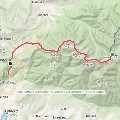 HardMulti-dayMarkedÚstie Kvačianskej doliny Pyšné sedlovia VolovecElevation profile644–2 178 m27.6 kmascent 1 566 m≈ 10 h walkingunder 1 km from Pachoľa
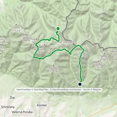 HardMulti-dayMarkedSedlo Zábrať Junction of Jamnická and Račková ValleysElevation profile962–2 194 m26.6 kmascent 2 635 m≈ 12 h walkingunder 1 km from Pachoľa
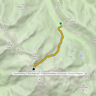 ModerateOne-dayMarkedAdamcuľa Baníkov SaddleElevation profile1 186–2 041 m4.4 kmascent 855 m≈ 3 h walkingunder 1 km from Pachoľa
Nearby attractions
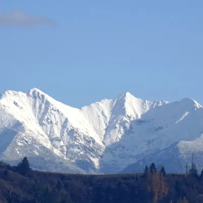 PeakBaníkovZuberecaltitude 2 178 munder 1 km from Pachoľa1 trail to the topBaníkov (Polish: Banówka) is a 2,178 m peak in the Western Tatras — the highest point on the main ridge of the range and the fourth-highest summit of the Western...
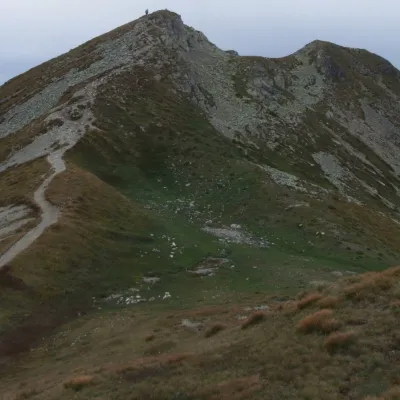 Mountain meadowThe grassy hole of Salatín and Brestová in the Western TatrasZuberecaltitude 2 048 m1.8 km from PachoľaSalatín (2,048 m) is a massive grassy mountain on the main ridge of the Western Tatras (Západné Tatry) in Slovakia, above the Bobrovecká and Jalovecká valleys on the...
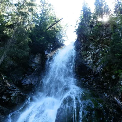 WaterfallRoháčsky WaterfallZuberec2.5 km from PachoľaRoháčsky waterfall (Roháčsky vodopád) is the best-known waterfall of the Western Tatras, in the Roháče massif about 12 km east of the village of Zuberec in Orava.
Craft nearby
All craft places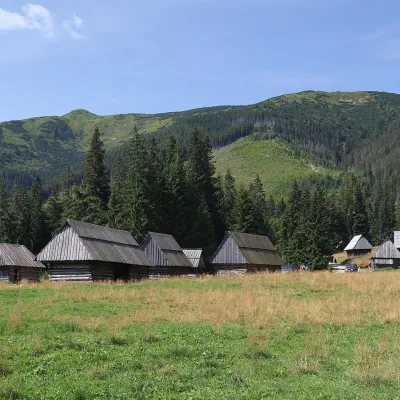 Cheese dairies & pasturesShepherds' Huts on Polana ChochołowskaKościelisko7.5 km from PachoľaPolana Chochołowska is the largest glade in the Polish Tatras and one of the largest in the whole range.
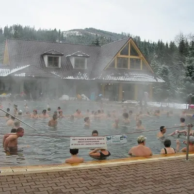 Water parks & thermal poolsOravice thermal poolsVitanová11 km from PachoľaThe Oravice thermal pools (Termálne kúpalisko Oravice) are the municipal thermal baths in the mountain settlement of Oravice at the foot of the Western Tatras.
 Water parks & thermal poolsMeander Thermal Resort, OraviceVitanová11 km from PachoľaMeander Thermal & Ski Resort (formerly Meander Park) is a thermal water park and ski centre in the mountain settlement of Oravice in northern Slovakia, at the foot of...
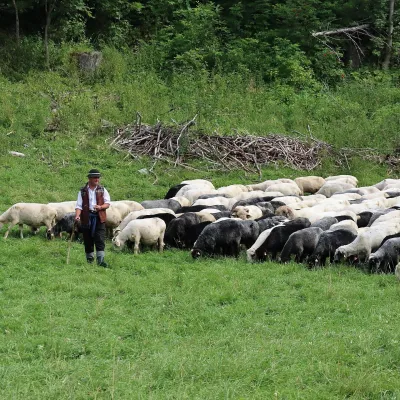 Cheese dairies & pasturesShepherd's Hut in the Kościeliska ValleyKościelisko14 km from PachoľaJózef Słodyczka's bacówka (shepherd's hut) on the Wyżnia Kira Miętusia glade is probably the most easily reached shepherds' hut in the Polish Tatras.
 Water parks & thermal poolsAquapark TatralandiaLiptovský Mikuláš14 km from PachoľaAquapark Tatralandia is a large year-round water leisure complex near Liptovský Mikuláš, on the northern shore of the Liptovská Mara reservoir.
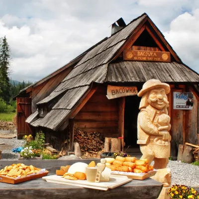 Cheese dairies & pasturesBiały Potok Shepherd's Hut, Witów: oscypek and cheese workshopsKościelisko14 km from PachoľaBiały Potok meadow in the village of Witów lies between the entrances to two of the most visited Tatra valleys, Chochołowska and Kościeliska.
