Kopec
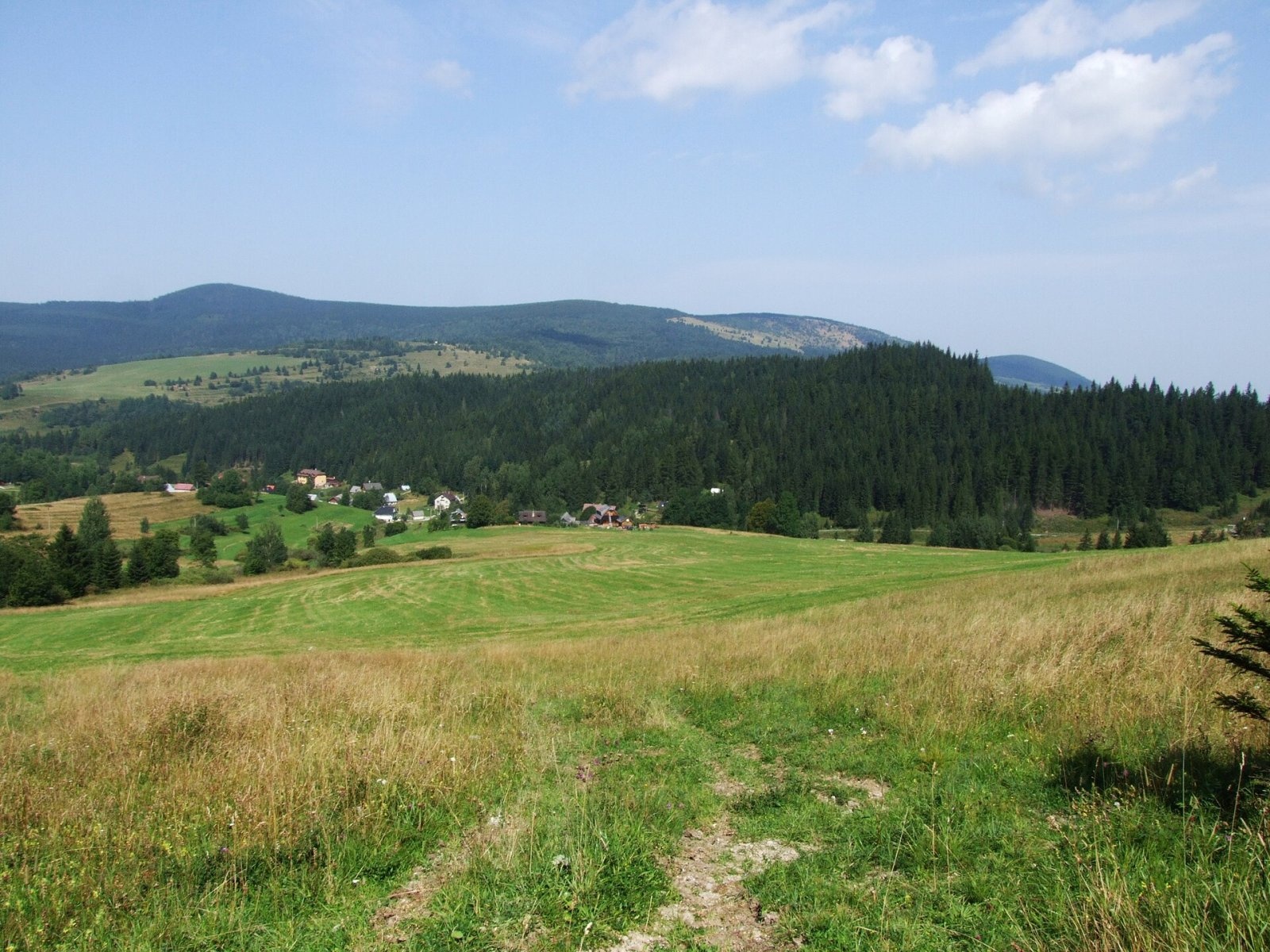
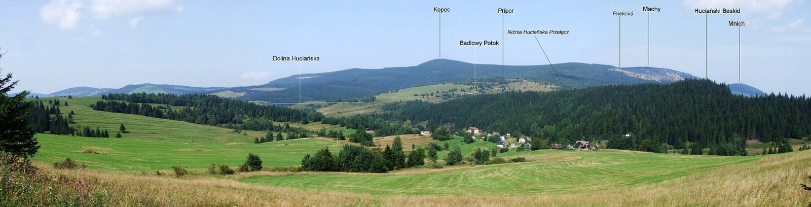
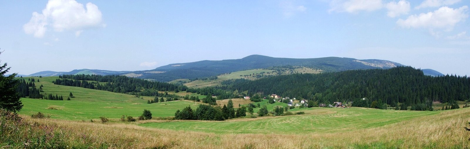
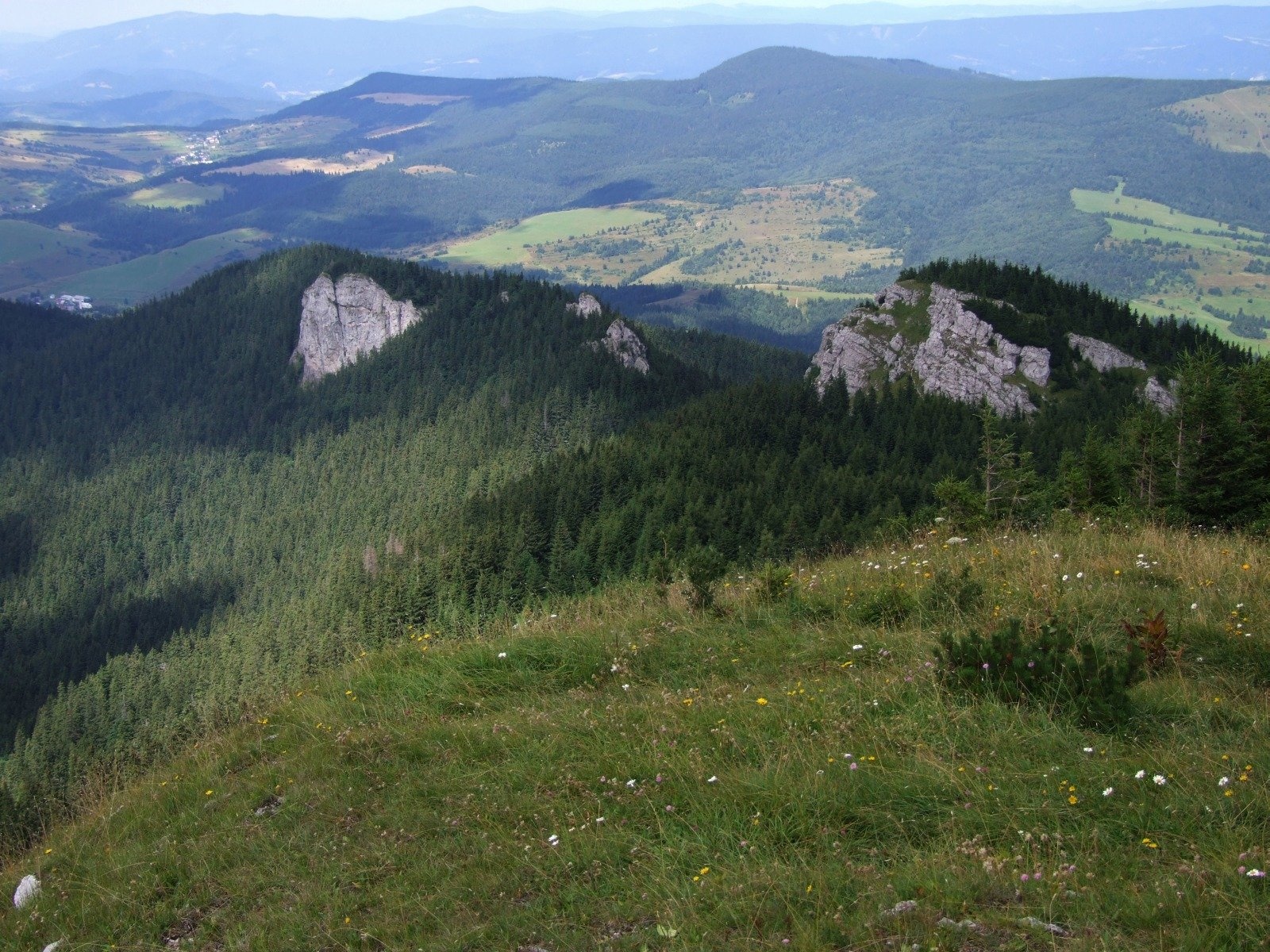
Kopec (Slovak for “mound”; formerly Polish Kopiec) is a 1,251 m summit, the second highest in the Skorušinské vrchy of northern Slovakia. It rises above the village of Huty, about 9 km south of Tvrdošín, on the border of the Tvrdošín and Dolný Kubín districts of the Žilina Region. The old boundary between the historic regions of Orava and Liptov also runs over the summit. The nearest villages are Malé Borové at the south-western foot, Huty to the south-east, Zuberec to the east, Oravský Biely Potok to the north and Chlebnice to the west. The name refers to the dome-like shape of the summit. The Nižné Hutianske sedlo saddle separates the massif from the Western Tatras.
How to get there / routes
Two marked trails cross on the summit.
- Red along the main ridge: from the north from Oravský Biely Potok via Mních, Machy and the Prieková saddle; from the south-west from Malé Borové. The easiest ascent is from Malé Borové, only about 2 km from the summit.
- Blue: from the north from Podbiel via Blatnický vrch and Bane; from the east from Zuberec via the Prieková saddle.
In winter the “Silver Horseshoe” (Strieborná podkova) ski-touring route runs over the massif’s slopes.
What you can see from the summit
The top of Kopec is covered by continuous forest, so there is no view from it. On the slopes there are patches of sparse vegetation with limited views of the Skorušinské vrchy, the Choč Mountains, the Western and Low Tatras, the Orava Beskids, the Orava Magura and the Lesser and Greater Fatra. The mountain itself is best seen from the Vyšné Hutianske sedlo pass on the road between Zuberec and Huty.
Nature and history
Kopec is a junction of many ridges. One runs north to the Mrzký brook valley, another north-west to Bane (943 m), one south-west to Blato (1,138 m), one south-east to the Grúnik hill, and one north-east via the Prieková saddle to Machy (1,202 m). Between Kopec and Prieková there is an unnamed top from which three more spurs branch: via Prípor (1,003 m) to the Huty valley, to the Nižné Hutianske sedlo, and the Cyrhlica crest descending to Zuberec.
The north-eastern slopes drain via tributaries of the Studený potok and the western ones via the Krivský brook (Orava basin), while water from the southern slopes flows via the Kvačianka to the Váh. Today the mountain is forested, but it once had fields, pastures and meadows; they have grown over, yet they are still visible on old maps and satellite images — a trace of the former farming of the mountain villages.
Safety, season and rules
The routes to Kopec are easy and suitable in all seasons, but the wooded ridge is hard to navigate in fog, and in winter there is plenty of snow. Stay on marked trails and carry water. Slovak Mountain Rescue (HZS): 18 300 (+421 18 300); emergency number 112.
Interesting facts
- Polish guidebooks used to translate the name as Kopiec (“Mound”), but current geographic-naming rules require the Slovak form Kopec.
- The summit’s prominence is about 350 m.
Photos: Jerzy Opioła, CC BY-SA 4.0; Jerzy Opioła, CC BY-SA 4.0; Jerzy Opioła, CC BY-SA 4.0; Jerzy Opioła, CC BY-SA 4.0 — Wikimedia Commons.
Getting there from Ukraine
Border crossings
- Uzhhorod – Vyšné Nemecké — road, 24/7
- Malyi Bereznyi – Ubľa — road, 24/7 For cars and buses; pedestrians not confirmed by the Ukrainian border service, lorries up to 3.5 t.
- Mali Selmentsi – Veľké Slemence (pedestrian) — pedestrian, 09:00–21:00 Kyiv time Pedestrians and cyclists only; inconvenient for the Tatras without onward transport.
- Chop – Čierna nad Tisou (rail) — rail, 24/7
By car
From Uzhhorod ≈275 km, ≈3 h 35 min without queues: Uzhhorod – Vyšné Nemecké → I/19 to Košice → D1 motorway via Prešov, Poprad and Liptovský Mikuláš to Ružomberok (≈270 km, ≈3 h 25 min from the border). From Lviv it is faster through Poland: M-10 → Krakovets – Korczowa → A4 to Kraków → S7/DK7 to the Chyżne – Trstená border → R3 and I/59 via Dolný Kubín to Ružomberok: ≈482 km, ≈6 h 15 min (via Uzhok and Ubľa ≈500 km, ≈7 h 30 min). The D1 requires an e-vignette (eznamka.sk).
Checked 23.10.2026; border crossing hours and timetables change — check before you travel.
Location on the map
Water and shelter nearby
- Hut under Kopec390 m · Not verified · 1 197 m
- Spring below Bane2 km · Not verified · 958 m
Comments
Trails nearby
All trails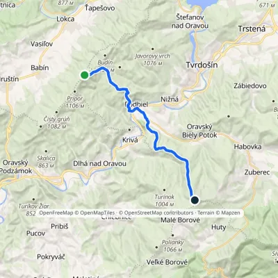 ModerateTwo-dayMarkedKopec ŠubovkaElevation profile549–1 252 m17.3 kmascent 738 m≈ 6 h walkingunder 1 km from Kopec
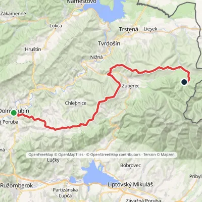 HardMulti-dayMarkedDolný Kubín Junction under UmrláElevation profile476–1 314 m56.6 kmascent 2 149 munder 1 km from Kopec
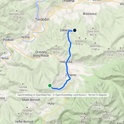 ModerateOne-dayMarkedPrieková ZábiedovoElevation profile679–1 170 m12.8 kmascent 355 m≈ 4 h walking1.8 km from Kopec
Nearby attractions
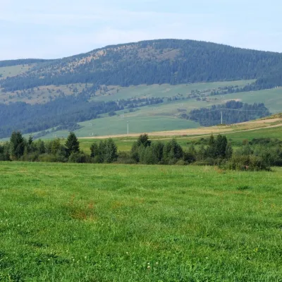 PeakMachyOravský Biely Potokaltitude 1 202 m2.3 km from KopecMachy is a 1202 m summit in the Skorušina Mountains in Orava, northern Slovakia. It rises above the village of Zuberec, about 8 km south of Tvrdošín, in the central...
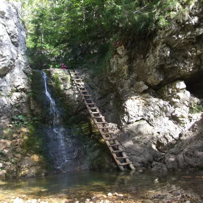 WaterfallRáztocký waterfall and the Oblazy mills (Kvačianska valley)Kvačany5.1 km from KopecThe Ráztocký waterfall (Ráztocký vodopád) is an eight-metre waterfall on the Ráztoka stream in the Chočské vrchy of northern Slovakia, just above the locality of...
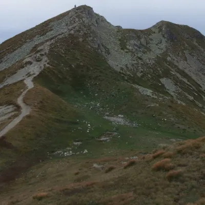 Mountain meadowThe grassy hole of Salatín and Brestová in the Western TatrasZuberecaltitude 2 048 m11 km from KopecSalatín (2,048 m) is a massive grassy mountain on the main ridge of the Western Tatras (Západné Tatry) in Slovakia, above the Bobrovecká and Jalovecká valleys on the...
Craft nearby
All craft places Water parks & thermal poolsAquapark TatralandiaLiptovský Mikuláš15 km from KopecAquapark Tatralandia is a large year-round water leisure complex near Liptovský Mikuláš, on the northern shore of the Liptovská Mara reservoir.
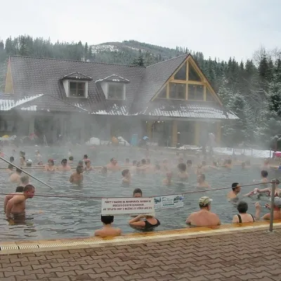 Water parks & thermal poolsOravice thermal poolsVitanová16 km from KopecThe Oravice thermal pools (Termálne kúpalisko Oravice) are the municipal thermal baths in the mountain settlement of Oravice at the foot of the Western Tatras.
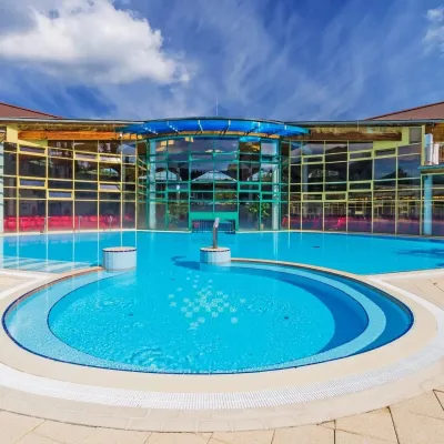 Water parks & thermal poolsMeander Thermal Resort, OraviceVitanová16 km from KopecMeander Thermal & Ski Resort (formerly Meander Park) is a thermal water park and ski centre in the mountain settlement of Oravice in northern Slovakia, at the foot of...
 Water parks & thermal poolsLúčky Spa and AQUA-VITAL ParkLúčky16 km from KopecLúčky Spa (Kúpele Lúčky) lies in a quiet valley beneath the Choč Mountains, in the village of Lúčky near Ružomberok.
 Koliby & Hutsul cuisineSalaš Dechtáre above Liptovská MaraGalovany17 km from KopecSalaš Dechtáre is a wooden koliba above the Liptovská Mara reservoir that is described as one of Slovakia’s first commercial salaš restaurants.
 Water parks & thermal poolsBešeňová Water ParkBešeňová17 km from KopecBešeňová — the "thermal heart of Liptov" Bešeňová Water Park (Vodný park Bešeňová) lies on the edge of the village of the same name in the western part of the Liptov...
