Machy
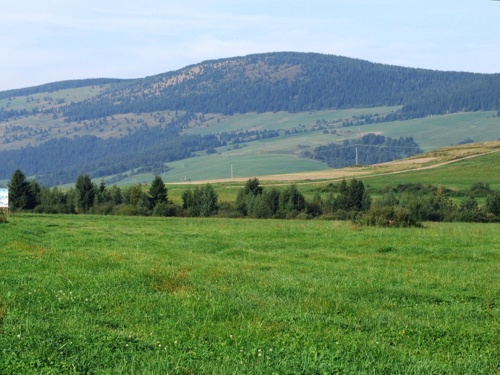
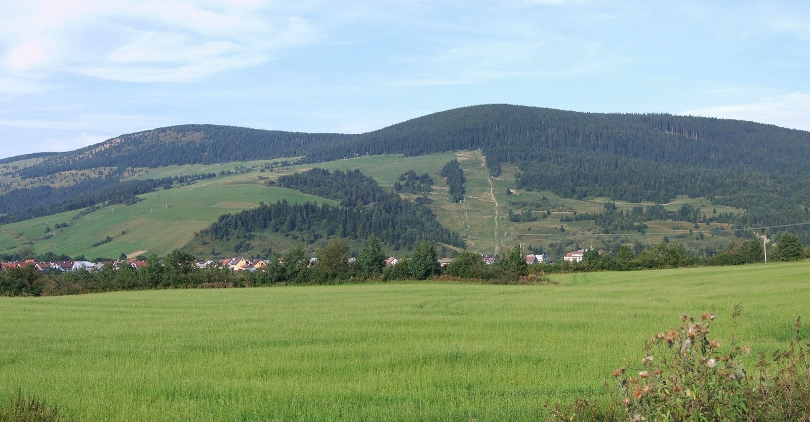
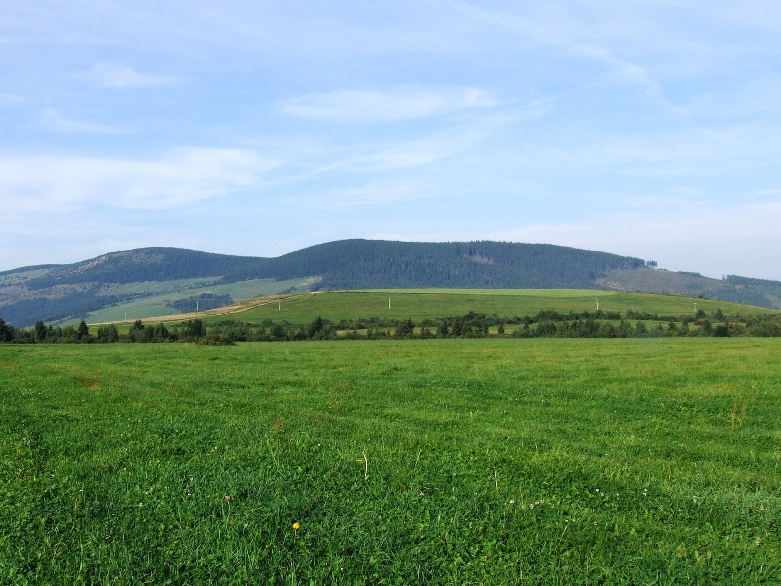
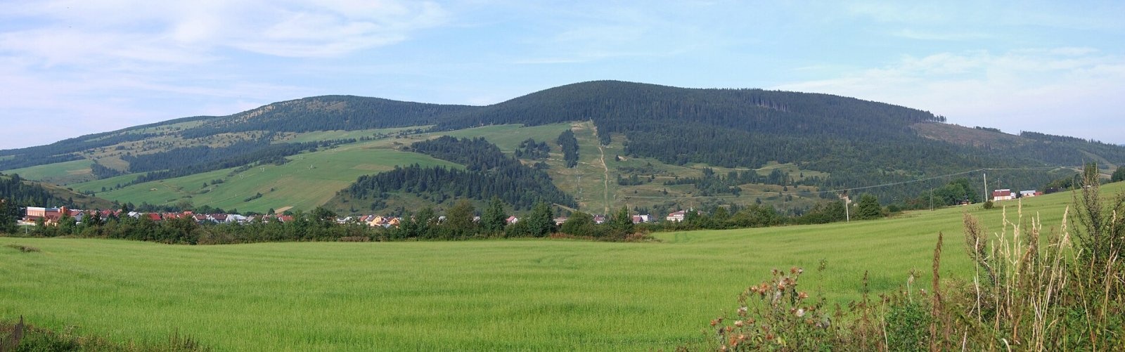
Machy is a 1202 m summit in the Skorušina Mountains in Orava, northern Slovakia. It rises above the village of Zuberec, about 8 km south of Tvrdošín, in the central part of the range, in the Kopec geomorphological subunit. The mountain belongs to Tvrdošín District of the Žilina Region and extends into the land of Zuberec and Oravský Biely Potok. The nearest villages are Zuberec at its eastern foot, Oravský Biely Potok to the north and Huty to the south.
The Skorušina Mountains are a modest range about 30 km long and on average 7 km wide, curving from south-west to north-east between the Orava Basin and the Zuberec furrow, just north of the Western Tatras. Their highest summit is Skorušina (1313.8 m); Machy ranks fourth among the range’s peaks after Skorušina, Kopec (1251 m) and Magura (1232 m).
Machy is part of the ridge running from Mních (1110 m) south-west to Blato (1138 m). To the west, beyond the Prieková pass, lie Kopec (1251 m) and Turínok (1004 m); to the south Prípor (1003 m) and Holica (1340 m); to the east Štít (1310 m); and to the north Mních and Bane (943 m).
How to get there / routes
The main ridge trail of the Skorušina Mountains, marked red, crosses the summit:
- From the north – from Oravský Biely Potok via Mních.
- From the south-west – from Malé Borové via Kopec and the Prieková pass.
- From the east – from Zuberec on the blue trail.
Sources give no official walking times. Zuberec is a well-known holiday base in Orava, handy for combining Machy with other peaks on the ridge.
What you can see from the summit
The Machy ridge splits the massif into two different halves. The north-western side is covered by continuous forest, so there is no view that way, while the south-eastern side is open with only sparse vegetation. The summit has a shelter and a lookout. From here you can see the surrounding peaks of the Skorušina and Choč Mountains and the Western Tatras, and in good weather also the Lesser Fatra, the Orava Magura and the Orava Beskids.
Nature and history
The Skorušina Mountains are built of Inner Carpathian Palaeogene rocks, old Tertiary sediments. The south-eastern slopes of Machy descend to the Zuberec basin and are largely treeless. A very dense network of streams runs off them and joins the Milotinka, which flows into the Zuberská voda in Zuberec. The whole massif belongs to the Orava basin, drained by tributaries of the Studený potok.
A side ridge runs north-west from the summit towards the valleys of the Mrzký and Malý streams. Today it is forested, but there used to be meadows there too: they have grown over, though they can still be made out on satellite images.
Safety, season and rules
The route to Machy follows mountain meadows and forest paths with no rocky sections, so it suits most walkers. On the open south-eastern slope there is no shade in hot weather, and in a thunderstorm you should leave the ridge quickly. The nearest springs are 2.7 km away or more, so carry water. In winter the ridge is snowbound and drifts can form in open places. In Slovakia, mountain help comes from the Mountain Rescue Service HZS: 18 300 (+421 18 300) or 112.
Interesting facts
- The name Machy is listed in the binding Slovak register of summit names.
- Machy and neighbouring Mních are clearly visible from the Chotár hill above Zuberec.
- The only village inside the Skorušina Mountains is Oravský Biely Potok, where the red trail to Machy starts.
Photos: Jerzy Opioła, CC BY-SA 4.0; Jerzy Opioła, CC BY-SA 4.0; Jerzy Opioła, CC BY-SA 4.0; Jerzy Opioła, CC BY-SA 4.0 — Wikimedia Commons.
Getting there from Ukraine
Border crossings
- Uzhhorod – Vyšné Nemecké — road, 24/7
- Malyi Bereznyi – Ubľa — road, 24/7 For cars and buses; pedestrians not confirmed by the Ukrainian border service, lorries up to 3.5 t.
- Mali Selmentsi – Veľké Slemence (pedestrian) — pedestrian, 09:00–21:00 Kyiv time Pedestrians and cyclists only; inconvenient for the Tatras without onward transport.
- Chop – Čierna nad Tisou (rail) — rail, 24/7
By car
From Uzhhorod ≈275 km, ≈3 h 35 min without queues: Uzhhorod – Vyšné Nemecké → I/19 to Košice → D1 motorway via Prešov, Poprad and Liptovský Mikuláš to Ružomberok (≈270 km, ≈3 h 25 min from the border). From Lviv it is faster through Poland: M-10 → Krakovets – Korczowa → A4 to Kraków → S7/DK7 to the Chyżne – Trstená border → R3 and I/59 via Dolný Kubín to Ružomberok: ≈482 km, ≈6 h 15 min (via Uzhok and Ubľa ≈500 km, ≈7 h 30 min). The D1 requires an e-vignette (eznamka.sk).
Checked 23.10.2026; border crossing hours and timetables change — check before you travel.
Location on the map
Water and shelter nearby
- Hut under Kopec1.9 km · Not verified · 1 197 m
- Spring below Bane2.7 km · Not verified · 958 m
Comments
Trails nearby
All trails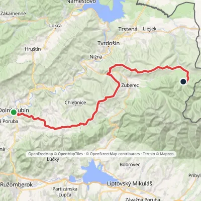 HardMulti-dayMarkedDolný Kubín Junction under UmrláElevation profile476–1 314 m56.6 kmascent 2 149 munder 1 km from Machy
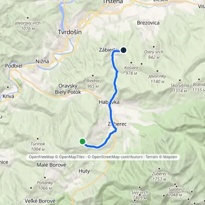 ModerateOne-dayMarkedPrieková ZábiedovoElevation profile679–1 170 m12.8 kmascent 355 m≈ 4 h walkingunder 1 km from Machy
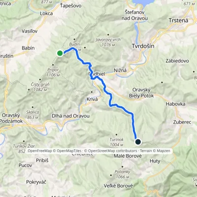 ModerateTwo-dayMarkedKopec ŠubovkaElevation profile549–1 252 m17.3 kmascent 738 m≈ 6 h walking2.3 km from Machy
Nearby attractions
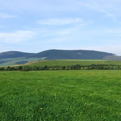 PeakMníchZuberecaltitude 1 110 m1.5 km from MachyMních is a summit 1110 m high in the Skorušina Mountains (Skorušinské vrchy) in Orava, Slovakia, in their Kopec subunit.
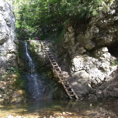 WaterfallRáztocký waterfall and the Oblazy mills (Kvačianska valley)Kvačany6.7 km from MachyThe Ráztocký waterfall (Ráztocký vodopád) is an eight-metre waterfall on the Ráztoka stream in the Chočské vrchy of northern Slovakia, just above the locality of...
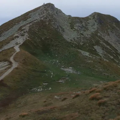 Mountain meadowThe grassy hole of Salatín and Brestová in the Western TatrasZuberecaltitude 2 048 m9.2 km from MachySalatín (2,048 m) is a massive grassy mountain on the main ridge of the Western Tatras (Západné Tatry) in Slovakia, above the Bobrovecká and Jalovecká valleys on the...
Craft nearby
All craft places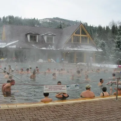 Water parks & thermal poolsOravice thermal poolsVitanová14 km from MachyThe Oravice thermal pools (Termálne kúpalisko Oravice) are the municipal thermal baths in the mountain settlement of Oravice at the foot of the Western Tatras.
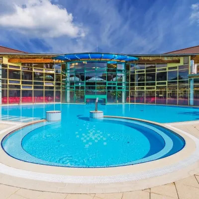 Water parks & thermal poolsMeander Thermal Resort, OraviceVitanová14 km from MachyMeander Thermal & Ski Resort (formerly Meander Park) is a thermal water park and ski centre in the mountain settlement of Oravice in northern Slovakia, at the foot of...
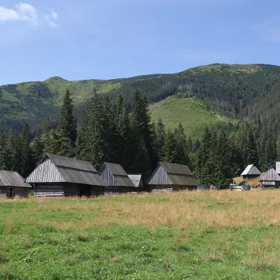 Cheese dairies & pasturesShepherds' Huts on Polana ChochołowskaKościelisko16 km from MachyPolana Chochołowska is the largest glade in the Polish Tatras and one of the largest in the whole range.
 Water parks & thermal poolsAquapark TatralandiaLiptovský Mikuláš16 km from MachyAquapark Tatralandia is a large year-round water leisure complex near Liptovský Mikuláš, on the northern shore of the Liptovská Mara reservoir.
 Koliby & Hutsul cuisineSalaš Dechtáre above Liptovská MaraGalovany18 km from MachySalaš Dechtáre is a wooden koliba above the Liptovská Mara reservoir that is described as one of Slovakia’s first commercial salaš restaurants.
 Water parks & thermal poolsLúčky Spa and AQUA-VITAL ParkLúčky19 km from MachyLúčky Spa (Kúpele Lúčky) lies in a quiet valley beneath the Choč Mountains, in the village of Lúčky near Ružomberok.
