Čergov Mountains
Čergov
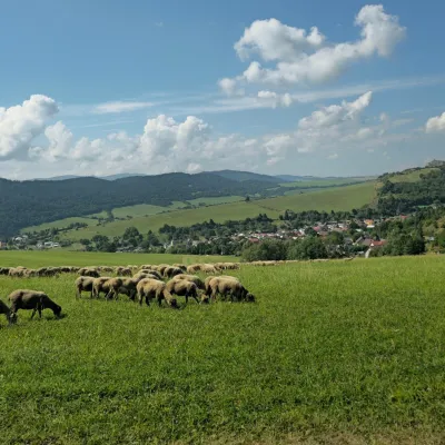
Čergov is a flysch range in north-eastern Slovakia that reaches the Polish border along a short section. Its slopes are covered with mixed, mostly beech forests; the Topľa river rises on its eastern side. The highest summit is Minčol (1,157 m), and several other tops of the ridge exceed 1,050 m.
- Elevation
- 254–1,157 m
- Highest summit
- Minčol, 1,157 m
- Area
- ≈ 503 km²
- Countries
- Slovakia
- Part of
- Low Beskids
On the map
Waymarked trails · 27
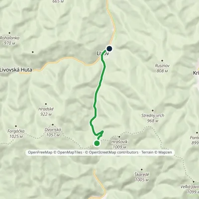 EasyOne-dayMarkedSedlo Priehyby Livov, junctionElevation profile507–820 m5.5 km≈ 1.5 h walking
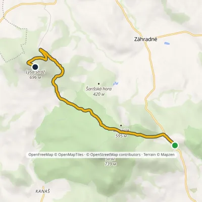 EasyOne-dayMarkedFintice, quarry Zimná studňaElevation profile406–696 m6.2 kmascent 431 m≈ 2.5 h walking
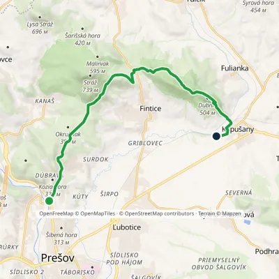 ModerateOne-dayMarkedPrešov, Veterinary Hospital Kapušany, stationElevation profile258–509 m13.2 kmascent 399 m≈ 4 h walking
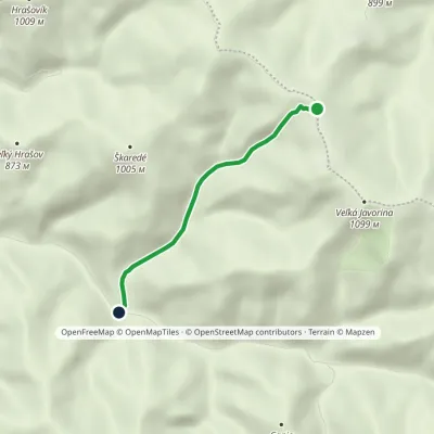 EasyOne-dayMarkedLysina Saddle TokárneElevation profile599–1 035 m3.3 km≈ 45 min walking
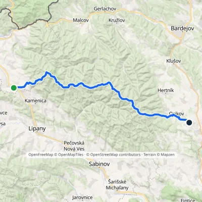 HardMulti-dayMarkedPusté Pole VaniškovceElevation profile323–1 153 m36.1 kmascent 1 113 m≈ 11.5 h walking
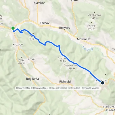 ModerateOne-dayMarkedKružlov MiháľovElevation profile343–608 m10.9 kmascent 309 m≈ 3.5 h walking
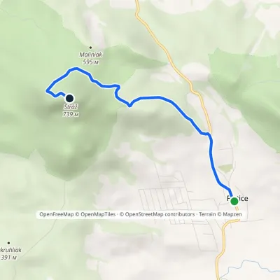 EasyOne-dayMarkedFintice StrážElevation profile267–739 m4.3 kmascent 472 m≈ 2 h walking
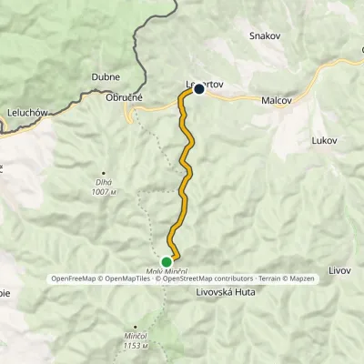 EasyOne-dayMarkedLenartov Malý MinčolElevation profile475–1 054 m7.6 km≈ 2 h walking
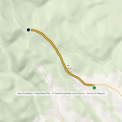 EasyOne-dayMarkedZávadka Nad ZávadkouElevation profile567–808 m2.9 kmascent 262 m≈ 1 h walking
Peaks
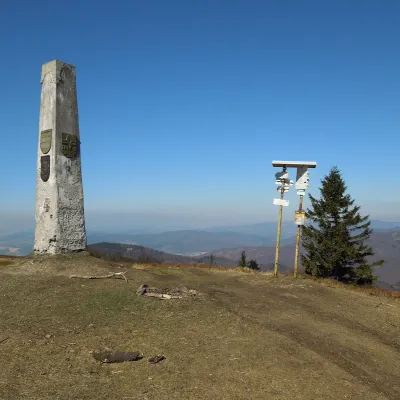 PeakMinčol (Čergov)🇸🇰 Slovakia · Kyjovaltitude 1 157 mMinčol (Hungarian Mincsol) is the highest summit of the Čergov mountains in eastern Slovakia, 1157 m high.
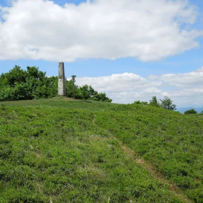 Mountain meadowThe meadow of Čergov's Minčol, the highest peak of the Čergov mountains🇸🇰 Slovakia · Kyjovaltitude 1 157 mČergov's Minčol (Minčol, 1,157 m) is the highest summit of the Čergov mountains in eastern Slovakia, where the...
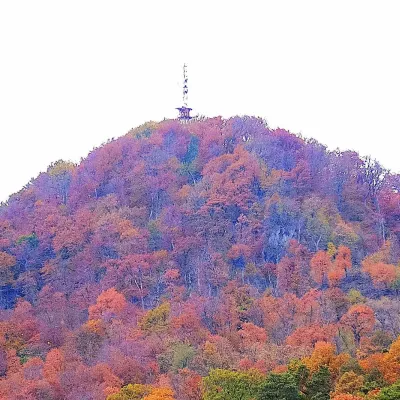 PeakStráž🇸🇰 Slovakia · Finticealtitude 740 mStráž (also Veľká Stráž) is a forested 740 m hill of volcanic origin in the Spiš-Šariš Intermountain (Spišsko...
What to see
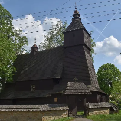
Craft and local food
Huts and shelters · 45
AllČergov HutHut under MinčolDrina HutSaint Francis GazeboŽobrák Hut, 890 mShelter under OkrúhlouGazebo Zaniknutá autobusová zastávka PodbaranieŽobrák Hut, 890 m (2)Sklynaruv laz GazeboJančíkova GazeboPicnic shelter below Buková (west slope)Hut below Balažka (north-east slope), 502 mWeather shelter below ŽobrákPicnic shelter below DemiankaHut below ZámokPicnic shelter below HavrankaWeather shelter below Škaredé (south slope), 652 mWeather shelter below Škaredé (south slope), 654 m
Springs · 63
AllVyšná Kaldorina SpringPavlov SpringEliášov prameň SpringSpring under the Parish ForestJánov prameň Spring, 1 074 mSpring under DemiankaSpring under Sokolová skalaAndrejova studnička SpringDaniela SpringPod bukom Spring, 1 008 mSpring under čučoriedkaHadbavna SpringPápežova studnička SpringSpring near Mariánsky LesíkGrofkova studnička SpringNižná Kaldorina SpringSpring below Minčol (south-east slope), 1 005 mSpring in the upper chapel of the Dormition of the Holy Mother of God
© EEA (CC BY 4.0) · GMBA Mountain Inventory v2 (CC BY 4.0) · © OpenStreetMap contributors (ODbL)
