Levoča Mountains
Levočské vrchy
The Levoča Mountains are a flysch range in northern Slovakia between the Spiš Magura and the Podtatranská and Hornád basins. A massive ridge with summits above 1,200 m lies in the rain shadow of the Tatras, so it is drier than the neighbouring mountains. The highest summit is Čierna hora (1,289 m); from 1953 to 2005 a large part of the range was the Javorina military training area, and the land was returned to its owners in 2011.
- Elevation
- 426–1,289 m
- Highest summit
- Čierna hora, 1,289 m
- Area
- ≈ 652 km²
- Countries
- Slovakia
- Part of
- Spiš Magura
On the map
Waymarked trails · 17
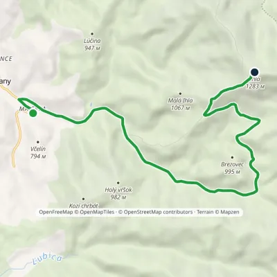 ModerateOne-dayMarkedVčelín IhlaElevation profile686–1 283 m10.5 kmascent 597 m≈ 4 h walking
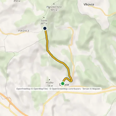 EasyOne-dayMarkedDravce SosnaElevation profile661–853 m3.2 kmascent 195 m≈ 1 h walking
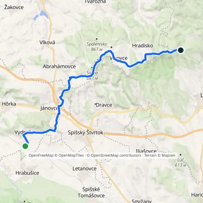 ModerateTwo-dayMarkedZbojnícka lúka Vydrník, stationElevation profile550–936 m18.6 kmascent 548 m≈ 5.5 h walking
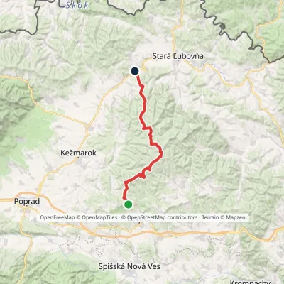 HardMulti-dayMarkedZbojnícka lúka Nižné Ružbachy, ChurchElevation profile549–1 206 m39.5 kmascent 779 m≈ 11.5 h walking
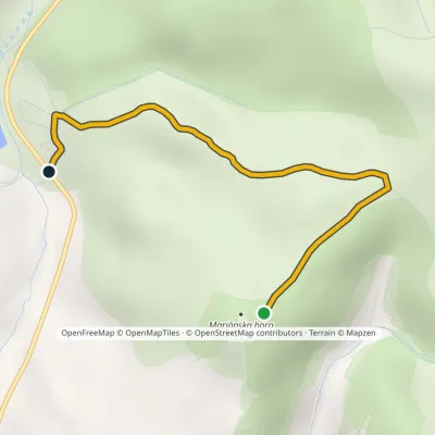 EasyOne-dayMarkedMariánska horaElevation profile570–797 m2.6 kmascent 18 m≈ 45 min walking
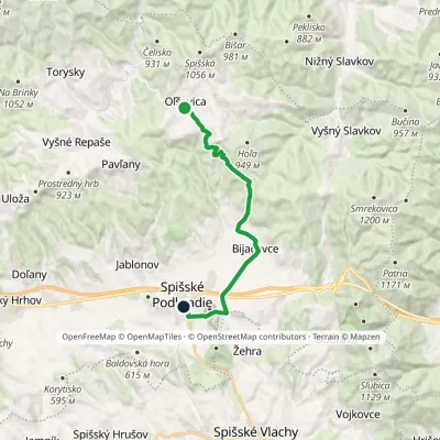 ModerateOne-dayMarkedSpišské Podhradie, square OľšavicaElevation profile432–850 m15.9 kmascent 234 m≈ 4.5 h walking
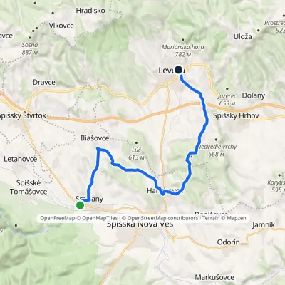 ModerateTwo-dayMarkedSmižany Levoča, near Košická GateElevation profile451–660 m19.6 kmascent 406 m≈ 5.5 h walking
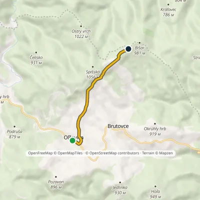 EasyOne-dayMarkedOľšavica BišarElevation profile790–991 m4.4 kmascent 199 m≈ 1.5 h walking
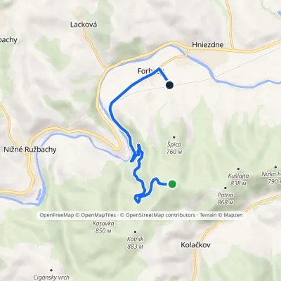 EasyOne-dayMarkedForbasy, station Lúka pod Špicou (blue trail)Elevation profile539–857 m6.7 kmascent 23 m≈ 1.5 h walking
Peaks
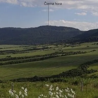 PeakČierna hora (Levoča Mountains)🇸🇰 Slovakia · Jakubanyaltitude 1 289 mČierna hora is a 1289.4 m summit, the highest point of the Slovak Levoča Mountains (Levočské vrchy) – a flysch range...
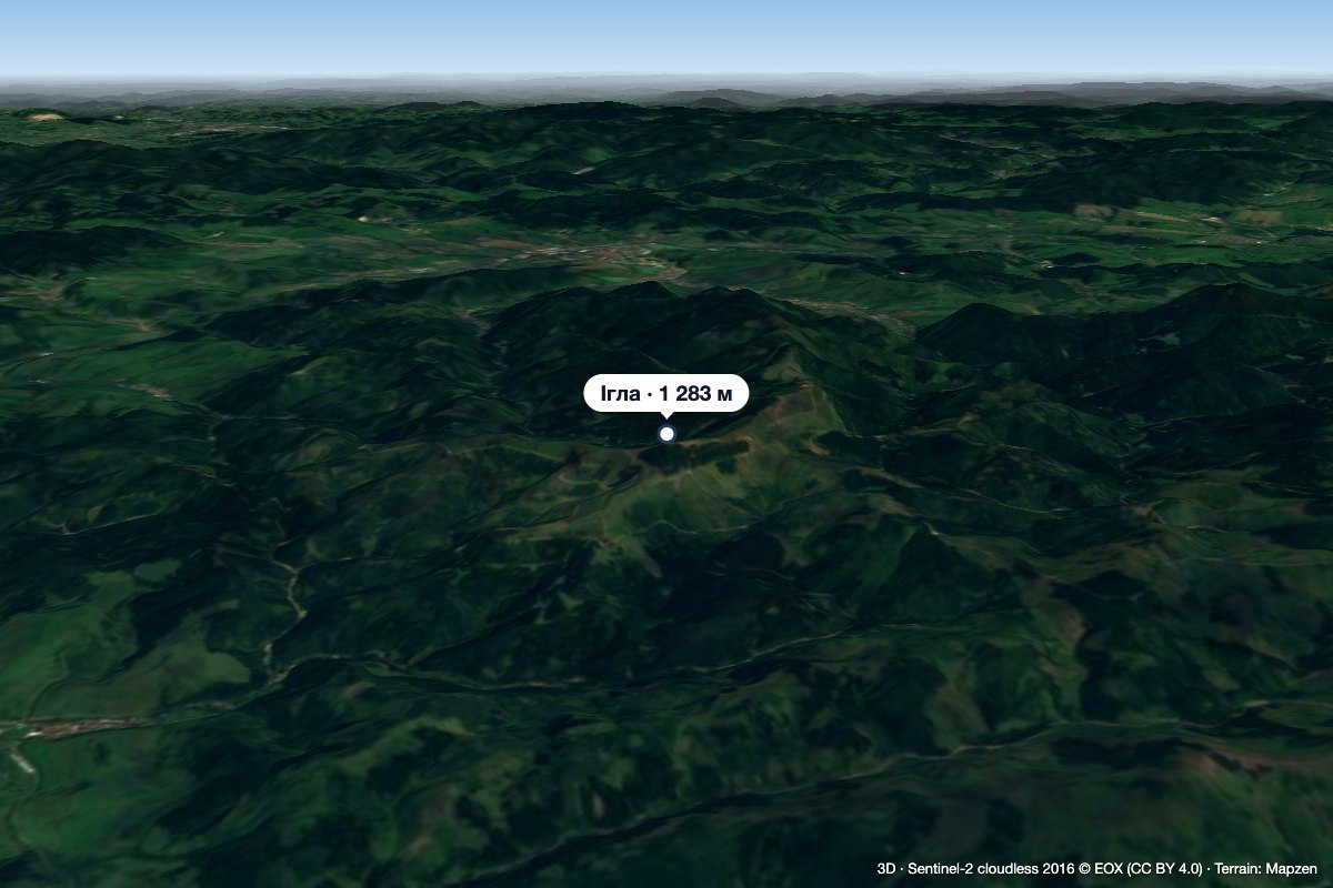 PeakIhla (Levoča Hills)🇸🇰 Slovakia · Ihľanyaltitude 1 283 mIhla (Slovak for "needle"; German Nadel) is a 1283 m summit in the Levoča Hills (Levočské vrchy) in eastern Slovakia,...
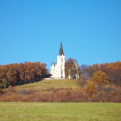 PeakMariánska hora (Marian Hill)🇸🇰 Slovakia · Levočaaltitude 761 mMariánska hora (Marian Hill; Hungarian Máriahegy) is a hill on the southern edge of the Levoča Hills, about 2 km...
What to see
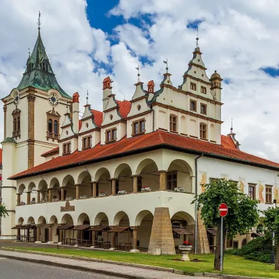 MuseumSpiš Museum in Levoča: Historic Town Hall and Minorite Monastery🇸🇰 Slovakia · LevočaThe Spiš Museum (SNM – Spišské múzeum) is a branch of the Slovak National Museum that cares for the heritage of...
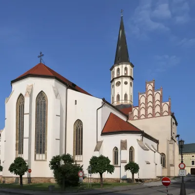 ChurchBasilica of St James, Levoča🇸🇰 Slovakia · LevočaThe Basilica of St James (Bazilika svätého Jakuba), together with the Renaissance town hall, dominates Master Paul...
Huts and shelters · 49
AllSkautský altánok GazeboGazebo under Čarnu kopuČarovný autobus ShelterMaringotka HutPicnic shelter below Tok (south-west slope)Hermanka HutPicnic shelter below BrezovecPicnic shelter below HruškaHut below BišarPicnic shelter below Mariánska hora (south slope), 737 mPicnic shelter below Mariánska hora (south slope), 768 mPicnic shelter below Mariánska hora (east slope)Picnic shelter below Mariánska hora (north-east slope), 766 mPicnic shelter below Mariánska hora (north-east slope), 766 m (2)Picnic shelter below BurkPicnic shelter below Holý vrch (south-east slope)Weather shelter below KončistáHut below Gájnik
Springs · 32
AllSpring "Pod Ihlou"Polomka SpringSrnčí SpringLevočského potoka SpringSaint Ján SpringSpring below Zimná hôrkaSpring below GehuľaSpring below Vysoký vrch (south slope), 1 002 mSpring below Malá Ihla (south-east slope)Spring below Čierna kopaDrinking water below JedlinkaSpring below PozavanSpring below Mariánska horaDrinking water below Mariánska horaSt. Vavrinec SpringSpring below TokSpring below Vysoký vrch (north-east slope), 1 051 mSpring below Špica (south slope), 812 m
© EEA (CC BY 4.0) · GMBA Mountain Inventory v2 (CC BY 4.0) · © OpenStreetMap contributors (ODbL)
