Hut
Hut under Minčol
Slovakia · Low Beskids range · 997 m
Condition
Not verifiedNo recent reports. Bring a tent and, if you pass by, tell us what you saw.
Last edited on the OSM map 29.12.2025
- 997 m
- Open fire inside (smoke hut)
Practical info
- Run by: KST Mladosť Odeva Lipany
- Local name: Pod Minčolom
- Contacts: +421944001353 · kstlipany.estranky.sk
About
Low Beskids range, about 1 000 m above sea level. 4 of the site’s trails pass nearby, including “Čirč junction – Kamenica, junction”.
Inside: an open fire. Run by KST Mladosť Odeva Lipany. The nearest known spring is 30 m away.
On the map
Coordinates: 49.22751, 20.99666
How to get there
Trails nearby
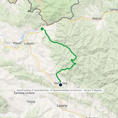 ModerateTwo-dayMarkedČirč junction Kamenica, junctionElevation profile477–1 153 m19.7 kmascent 676 m≈ 6.5 h walking
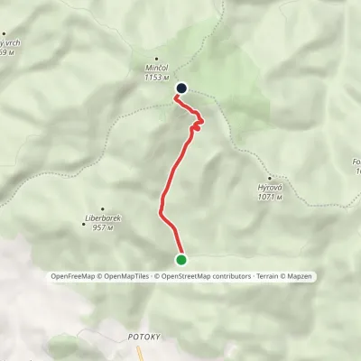 EasyOne-dayMarkedÚstie Kalinovského Potoka Pod MinčolomElevation profile645–1 125 m3.3 kmascent 480 m≈ 2 h walking
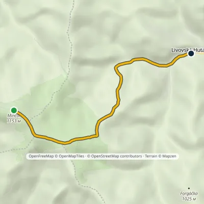 EasyOne-dayMarkedLivovská Huta MinčolElevation profile651–1 153 m4.8 km≈ 1 h walking
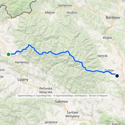 HardMulti-dayMarkedPusté Pole VaniškovceElevation profile323–1 153 m36.1 kmascent 1 113 m≈ 11.5 h walking
Report the condition
Been here recently? Tell us what you saw and add photos — your report appears on the page right away with today’s date.
No photos yet — send yours together with a condition report.
