Ústie Kalinovského Potoka – Pod Minčolom
Trail map
Route, springs and shelters: © OpenStreetMap contributors (ODbL) · elevation: Copernicus DEM © DLR e.V., © Airbus DS · Data & licences
About the trail
Route Ústie Kalinovského Potoka – Pod Minčolom. Has red marking (local route, KST Mladosť-odeva Lipany). Waymarking data: OpenStreetMap (© OpenStreetMap contributors, ODbL).
Officially marked local tourist route. Marking is red, sign — triangle in the corner on a white background. Marked and maintained by: KST Mladosť-odeva Lipany. Length of the route — 3.3 km. Location: mountain range — Low Beskids, Slovakia.
At a glance
A short route of 3.3 km with 480 m of ascent from Ústie Kalinovského Potoka to Pod Minčolom. Estimated walking time: about 1.5 h, not counting stops. Difficulty: easy. Waymarking: red.
Route stages
- 0–3.5 kmClimb of 460 m to Hut under Minčol
Steepest kilometre: km 2.5–3.5, a climb of 210 m (≈21%), near Hut under Minčol.
Water and overnight stays
A spring near the trail: at km 2.5. Some springs run low or dry up in late summer.
Huts and shelters near the trail: Hut under Minčol (km 3).
When to go
Best time: May to October. In winter deep snow is possible, so experience and winter gear are needed.
Getting there
Start: Ústie Kalinovského Potoka. This is a one-way route: the finish is 3 km from the start in a straight line, so plan your way back in advance.
FAQ
- How long does the route take?
- Estimated walking time: about 1.5 h, not counting stops.
- Is there water on the route?
- A spring near the trail: at km 2.5. Some springs run low or dry up in late summer.
- Where can I stay overnight?
- Huts and shelters near the trail: Hut under Minčol (km 3).
Water and shelter on the route
- Andrejova studnička Springkm 2.7 from the start · Not verified · 992 m
- Hut under Minčolkm 2.8 from the start · Not verified · 997 m
Comments
Trails nearby
All trails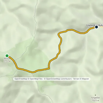 EasyOne-dayMarkedLivovská Huta MinčolElevation profile651–1 153 m4.8 km≈ 1 h walking
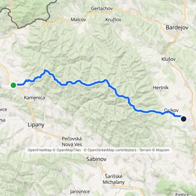 HardMulti-dayMarkedPusté Pole VaniškovceElevation profile323–1 153 m36.1 kmascent 1 113 m≈ 11.5 h walking
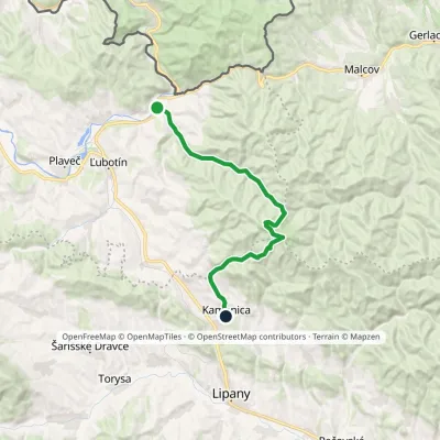 ModerateTwo-dayMarkedČirč junction Kamenica, junctionElevation profile477–1 153 m19.7 kmascent 676 m≈ 6.5 h walking
Craft nearby
All craft places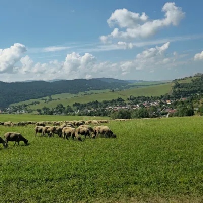 Cheese dairies & pasturesFarma Kamenica — Family Sheep Farm and Cheese Dairy in ŠarišKamenica3.1 km from the trailKamenica is a village in northern Šariš, in the valley of the Kameničanka stream, at about 483 m above sea level.
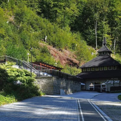 Water parks & thermal poolsŻegiestów-Zdrój spa: the Anna pump room and the Spa HouseŻegiestów22 km from the trailŻegiestów-Zdrój is a small spa in the narrow Poprad valley in the Beskid Sądecki, a kilometre and a half from the village of Żegiestów and a few kilometres from Muszyna.
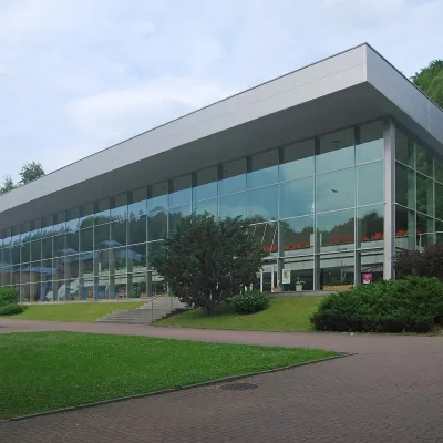 Water parks & thermal poolsKrynica-Zdrój pump rooms: tasting the mineral watersKrynica-Zdrój24 km from the trailKrynica-Zdrój grew up around its mineral springs, and the best way to feel the spa is to walk round its pump rooms and taste the local waters.
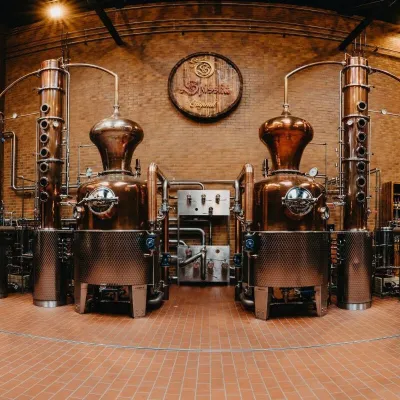 Craft producersSpišská Pálenica, Stará Ľubovňa: distillery tour and Spiš borovičkaStará Ľubovňa24 km from the trailSpiš boasts perhaps the oldest history of distilling in Europe: at the hillfort of Myšia Hôrka near Spišský Štvrtok, part of a distillation vessel from around 1500 BC...
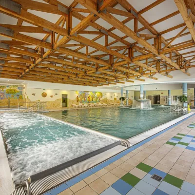 Water parks & thermal poolsBardejovské Kúpele: Wellness Spa Ozón and summer poolBardejov24 km from the trailBardejovské Kúpele is one of Slovakia’s oldest spas, a part of the town of Bardejov about 5 km from its centre, in a valley under the Magura massif that shelters it...
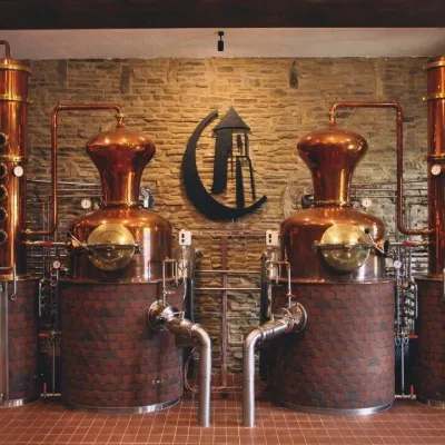 Craft producersCastle Distillery below Ľubovňa Castle: fruit spirits and tastingsStará Ľubovňa25 km from the trailStará Ľubovňa is a town in northern Spiš, overlooked by Ľubovňa Castle. For more than three and a half centuries Ľubovňa was one of the Spiš towns pledged to the...
