Stebnícka Magura
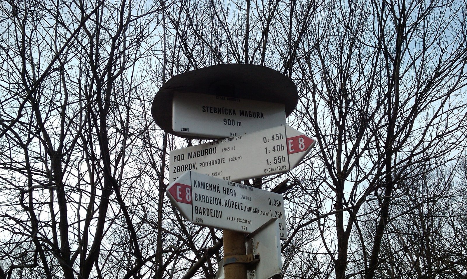
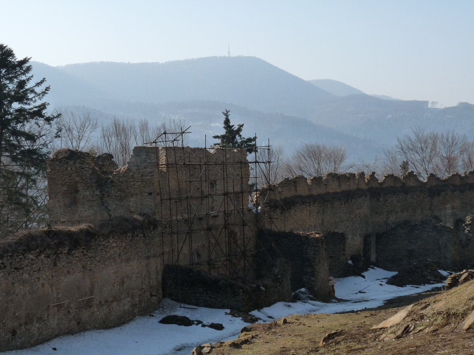
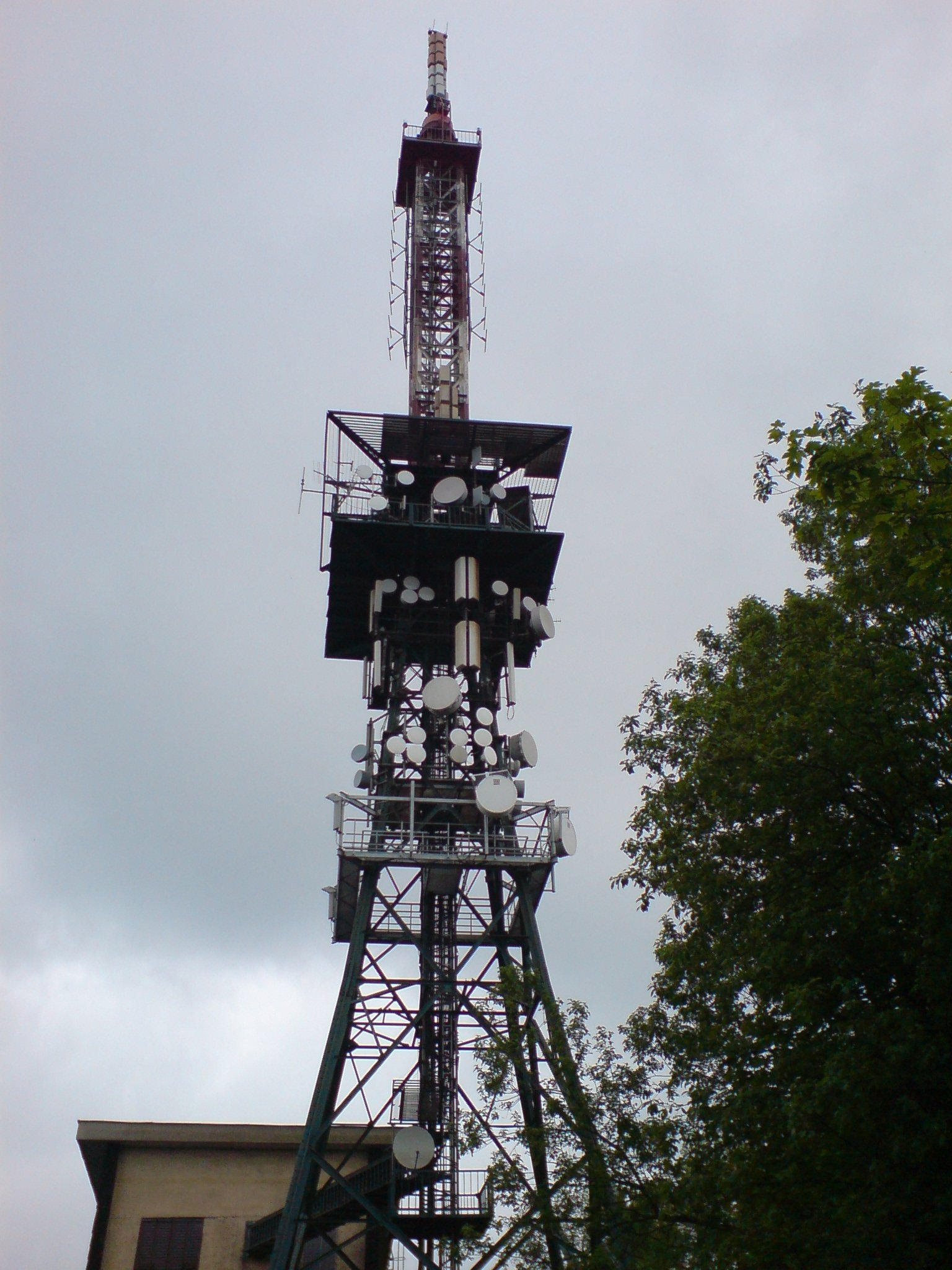
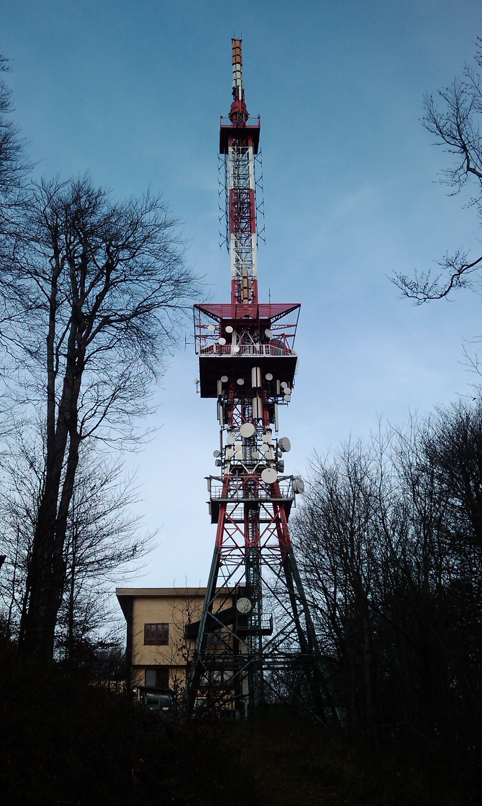
Stebnícka Magura is an 899.9 m summit in the Slovak part of the Low Beskid, in the Busov range. It rises above the village of Stebník about 6 km north of Bardejov and, with the TV tower on its top, clearly dominates the whole area – it can be seen from many parts of the Low Beskid. In Polish geographical tradition it is the highest point of the Ondava Highlands. The mountain lies in Bardejov District of the Prešov Region; around it are Stebník, Zborov, Bardejovské Kúpele, Dlhá Lúka, Zlaté and Nižný and Vyšný Tvarožec.
Magura lies in the central part of the Busov range, on the ridge running south-east from Staviská (806 m) via Ostriež (893 m). To the west you can see Busov (1002 m), the highest summit of the Low Beskid. Nearby rise Mníchov (808 m) and Pivnica (857 m) to the west, Smilniansky vrch (749 m) to the east, and Hrb (764 m) and the border peak Javorina (881 m) to the north. The mountain belongs to the Topľa basin: the western slopes drain via the Čierny and Mníchovský streams, the southern ones via the Bardejovský stream and the northern ones via the Stebnícky stream, a tributary of the Kamenec.
How to get there / routes
The red Heroes of the SNP trail (Cesta hrdinov SNP) crosses the summit; it is also part of the European E8 and of the Eisenach–Budapest friendship trail.
- From Zborov – red trail from the east via the Pod Magurou junction.
- From Bardejovské Kúpele – red trail from the south-east via the Čerešňa saddle.
- From Vyšný Tvarožec – blue trail from the north-west.
- From Zlaté – unmarked road.
Sources give no official walking times.
What you can see from the summit
The summit is wooded, so there is no all-round view. From thinner patches of forest you can see the neighbouring summits of the Busov range, the Ondava Highlands, Vihorlat, the Slanské Mountains, Čergov and occasionally the Tatras.
Nature and history
In 1975 an 81 m steel radio and TV relay mast and a masonry technical building were built on the summit. There is also a wooden shelter for hikers with a signpost.
The northern and eastern slopes are protected by the Stebnícka Magura National Nature Reserve, declared in 1964 on 76 ha; according to Polish sources it now covers 184 ha. The reserve lies at 650–900 m in the wet spring area of the Stebnícky stream and preserves natural, partly old-growth forests of beech, fir and sycamore maple. There are scree maple-beech woods, maple beechwoods and, lower down, fir beechwoods; beech, silver fir, sycamore and ash exceed 25 m in height. The shrub layer includes black and red elder, guelder rose and gooseberry.
The flora has a clear East Carpathian character: the most interesting are the stands of Scopolia carniolica. Ferns are very diverse – hard shield fern, male fern, lady fern and narrow buckler fern are common, while Braun's holly fern is rarer. In spring hollow-root corydalis, snowdrops, yellow star-of-Bethlehem and lungwort flower in masses.
Safety, season and rules
The climb to Magura follows mostly forest paths without rocky sections. The national nature reserve has the highest degree of protection: stay on the marked trail, do not pick plants and keep noise down. There are several springs near the summit (the nearest about 1 km away), but it is better to carry water. In the Slovak mountains help comes from the Mountain Rescue Service HZS: 18 300 (+421 18 300) or 112.
Interesting facts
- The TV mast makes Magura a landmark that is easy to recognise from many summits of the Low Beskid.
- Some beeches, firs and sycamores in the reserve are more than 25 m tall.
Photos: Pe3kZA, CC BY-SA 3.0; Pistal, CC BY-SA 4.0; pepanos, CC BY 3.0; Clowiecik, CC BY-SA 3.0 — Wikimedia Commons.
Getting there from Ukraine
Border crossings
- Uzhhorod – Vyšné Nemecké — road, 24/7
- Malyi Bereznyi – Ubľa — road, 24/7 For cars and buses; pedestrians not confirmed by the Ukrainian border service, lorries up to 3.5 t.
- Mali Selmentsi – Veľké Slemence (pedestrian) — pedestrian, 09:00–21:00 Kyiv time Pedestrians and cyclists only; inconvenient for the Tatras without onward transport.
- Chop – Čierna nad Tisou (rail) — rail, 24/7
By car
From Uzhhorod ≈138 km, ≈2 h 30 min without queues: Uzhhorod – Vyšné Nemecké → I/19 to Michalovce → I/18 via Vranov nad Topľou towards Prešov → I/545 to Bardejov (≈133 km, ≈2 h 20 min from the border). From Lviv it is faster through Poland: M-10 → Krakovets – Korczowa → A4 to Dębica → DK73 to Jasło → DK28 to Gorlice → DW977 over the internal Schengen crossing Konieczna – Becherov → I/545 to Bardejov: ≈329 km, ≈5 h 10 min (≈251 km, ≈3 h 40 min from the border). Via the Uzhok Pass and Ubľa ≈345 km, ≈6 h 20 min.
Checked 23.10.2026; border crossing hours and timetables change — check before you travel.
Location on the map
Water and shelter nearby
- Zbojnícka Spring1.1 km · Not verified · 713 m
- Spring below Kamenná Hora (north-east slope), 704 m1.3 km · Not verified · 704 m
- Tri studničky, 633 m1.6 km · Not verified · 633 m
- Studnička zimná Spring2.3 km · Not verified · 529 m
- Kúty Spring2.6 km · Not verified · 496 m
- Spring below Kamenná Hora (south-east slope), 514 m2.7 km · Not verified · 514 m
- Skala Spring3 km · Not verified · 428 m
Comments
Trails nearby
All trails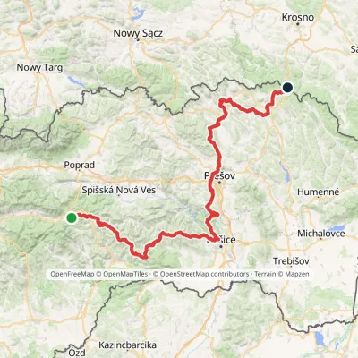 HardMulti-dayMarkedPred Čuntavou Dukliansky PassElevation profile227–1 293 m280.7 kmascent 8 346 munder 1 km from Stebnícka Magura
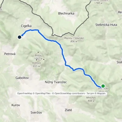 ModerateOne-dayMarkedCigeľka, lake, cottages Stebnicka MaguraElevation profile471–912 m11.6 kmascent 261 m≈ 3.5 h walkingunder 1 km from Stebnícka Magura
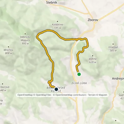 ModerateOne-dayMarkedBardejovské kúpele Dlhá LúkaElevation profile288–638 m11.3 kmascent 496 m≈ 4 h walkingunder 1 km from Stebnícka Magura
Nearby attractions
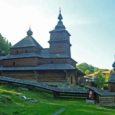 MuseumBardejovské Kúpele Open-Air Museum of Folk Architecture3.7 km from Stebnícka MaguraThe Museum of Folk Architecture in the spa resort of Bardejovské Kúpele opened to visitors in 1965 — the first open-air museum in Slovakia.
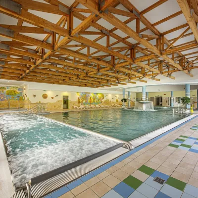 Water parks & thermal poolsBardejovské Kúpele: Wellness Spa Ozón and summer pool3.9 km from Stebnícka MaguraBardejovské Kúpele is one of Slovakia’s oldest spas, a part of the town of Bardejov about 5 km from its centre, in a valley under the Magura massif that shelters it...
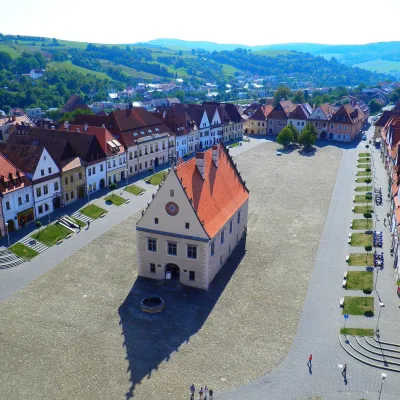 Historic siteBardejov: historic town centre and St Giles’ Basilica7.8 km from Stebnícka MaguraBardejov lies in north-eastern Slovakia, in the Šariš region, on the river Topľa not far from the Polish border.
Craft nearby
All craft places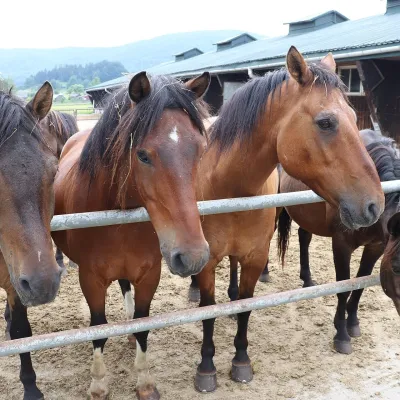 Horse ridingGładyszów Hucul Horse Stud, Regietów18 km from Stebnícka MaguraThe "Gładyszów" Hucul Horse Stud (Stadnina Koni Huculskich „Gładyszów”) in the Lemko village of Regietów is one of the largest places in the world where Hucul ponies...
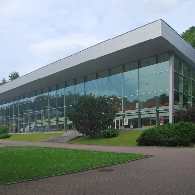 Water parks & thermal poolsKrynica-Zdrój pump rooms: tasting the mineral waters22 km from Stebnícka MaguraKrynica-Zdrój grew up around its mineral springs, and the best way to feel the spa is to walk round its pump rooms and taste the local waters.
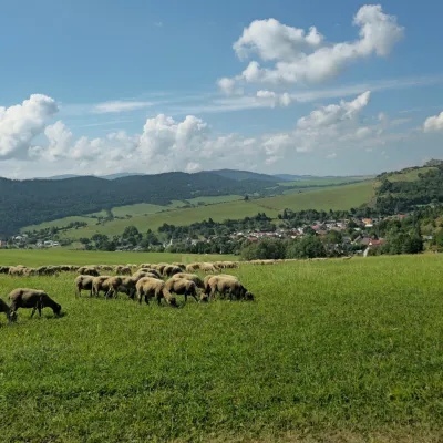 Cheese dairies & pasturesFarma Kamenica — Family Sheep Farm and Cheese Dairy in Šariš28 km from Stebnícka MaguraKamenica is a village in northern Šariš, in the valley of the Kameničanka stream, at about 483 m above sea level.
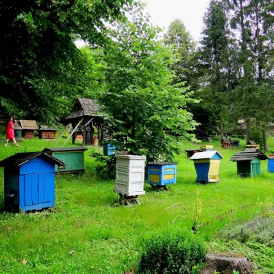 Honey & meaderiesBarć Apiary in Kamianna, the Beekeepers' Village29 km from Stebnícka MaguraThe Barć ("Bee Tree") apiary in the Lemko village of Kamianna, between Krynica-Zdrój and Nowy Sącz, is one of Poland's best-known beekeeping places, and Kamianna is...
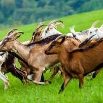 Cheese dairies & pasturesFIGA Organic Goat Cheese Farm, Mszana near Dukla33 km from Stebnícka MaguraThe FIGA organic family farm in the Lemko village of Mszana near Dukla is one of Poland's oldest goat cheese dairies.
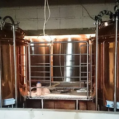 Craft beer & breweriesBrowar Dukla: craft brewery and brewpub on Dukla market square38 km from Stebnícka MaguraDukla is an old small town at the foot of Mount Cergowa, on the historic trade route from Poland to Hungary over the Dukla Pass.
