Jaworzyna Krynicka
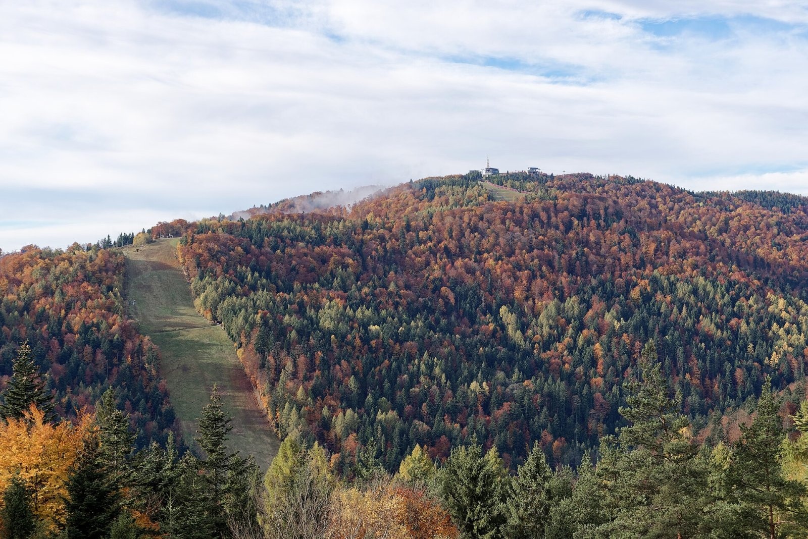
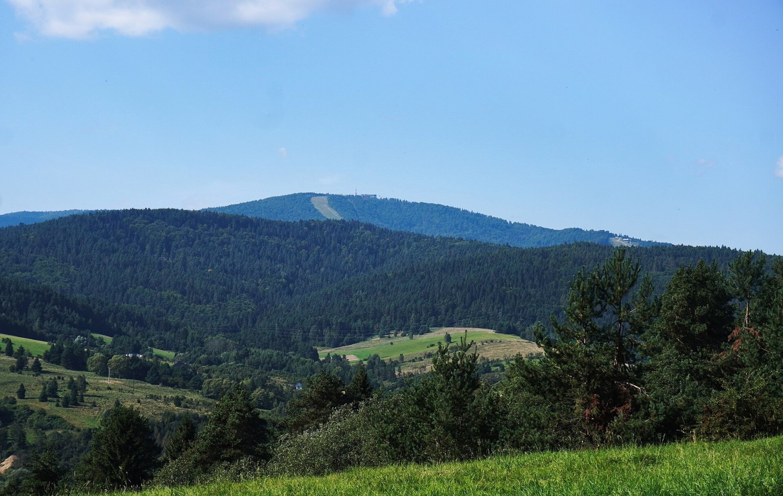
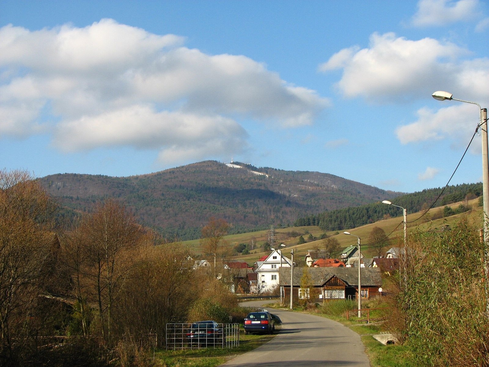
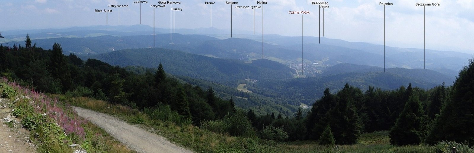
Jaworzyna Krynicka, or simply Jaworzyna, is a 1,114 m summit in the Sądecki Beskids and the highest point of the Jaworzyna Range. It stands on the boundary between the spa town of Krynica-Zdrój and Muszyna in Nowy Sącz County, Lesser Poland; central Krynica lies about 4.6 km to the south-east. The mountain's prominence is about 444 m.
Jaworzyna sits on the main ridge of the eastern Jaworzyna Range. To the north-west, as far as Bukowa (1,077 m), the ridge is almost flat, while to the south-east it drops fairly steeply over Bystry Wierch, Palenica, Szczawna Góra, Smereczyny and Jastrzębska Góra to the confluence of the Kryniczanka, Muszynka and Jastrzębik. Two side ridges also leave the summit — a long southern one with Zaruby and a short eastern one falling to the Czarny Potok valley. Four streams flow between the four ridges: the Czarny Potok with its tributary Izwór, the Jastrzębik and the Szczawniczek.
How to get there / trails
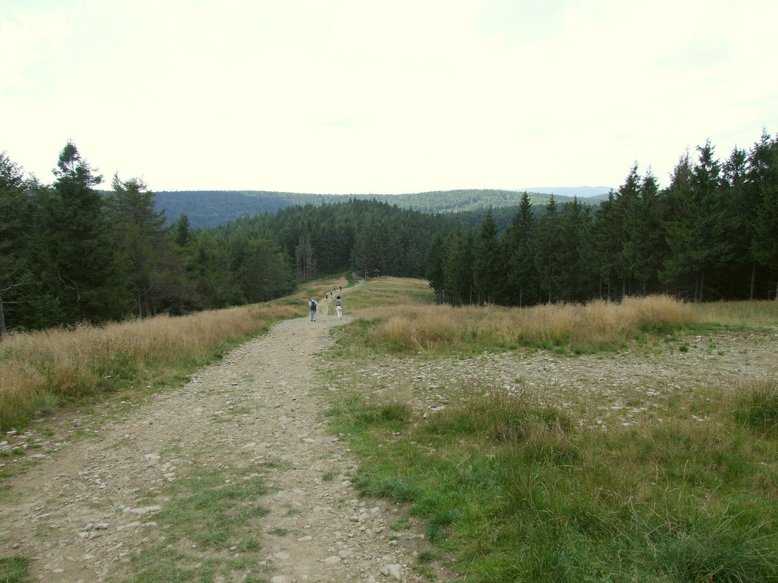
- Red Main Beskid Trail (GSB): from the PTTK hut on Hala Łabowska via Runek to Jaworzyna and down to Krynica-Zdrój. The European long-distance path E3 and the international Eisenach – Budapest mountain trail follow the same section.
- Green Wincenty Pol Trail: Muszyna — Złockie — Jaworzyna — Krynica.
- Gondola lift from the Czarny Potok valley runs almost to the summit, so the mountain is visited by very large numbers of people.
These routes make Jaworzyna a hub of hiking and cycling trails. On the upper northern slope stand the PTTK hut on Jaworzyna Krynicka, a GOPR duty station and the Museum of Mountain Tourism.
The view from the top
Thanks to the broad grassy areas on the ridge and the cleared ski runs, the views from various spots cover the whole horizon. In 2021 a viewing platform with a terrace was built above the roof of the gondola's top station, allowing observation from 1,122 m. The panorama takes in the Tatras and the Low Tatras, the Bieszczady, the Little Pieniny, the Low Beskids, the Ciężkowice and Dynów foothills, Polonyna Rivna in Ukraine and the Čergov Mountains in Slovakia.
Nature and history
Most of the mountain is forested. The ridge once had many clearings used by the Lemkos; after they were deported, most of these were afforested. Later some forest on the slopes was cut for the gondola and the ski runs, and these clearings now serve as viewpoints. There are caves and rock outcrops on the mountain; the largest is the Devil's Stone (Kamień Diabelski) on the eastern slope.
Jaworzyna was originally covered by beech and fir forest; the spruce stands on the ridge are the result of afforestation. Besides these species you will find sycamore, ash, elm, larch, pine, rowan, birch, willow and alder. Until recently a planted 60-year-old Swiss stone pine, a protected natural monument, grew by the hut; a wooden statue of John Paul II now stands in its place. A seed beech stand lines the access road to the hut. Plants rare in Poland found here include the melancholy thistle.
All of Poland's large mammals live in the Jaworzyna massif: red deer, wild boar, roe deer, lynx and wolves. Bears are not resident but occasionally wander in from Slovakia or the Bieszczady.
Safety, season and rules
Jaworzyna is accessible all year. In winter a large ski station operates on the north side: 8 runs totalling about 14 km, served by the gondola and 7 lifts, including the longest floodlit run in Poland. Winter hikers should keep to the marked paths and stay off the ski runs. The summit is exposed to wind, and in bad weather it quickly gets cold on the ridge. The mountain lies outside national parks.
GOPR rescuers are on duty by the hut: 985 or +48 601 100 300, and 112.
Photos: Jakub Hałun, CC BY 4.0; Mach240390, CC BY 4.0; Krzysztof Lasoń, CC BY-SA 3.0; Paweł Opioła, CC BY-SA 4.0; Jerzy Opioła, CC BY-SA 3.0; Wlodek k1, CC BY-SA 4.0 — Wikimedia Commons.
Getting there from Ukraine
Border crossings
- Krakovets – Korczowa — road, 24/7
- Shehyni – Medyka — road, 24/7 Pedestrian crossing is not confirmed by the Ukrainian border service — check dpsu.gov.ua before the trip.
- Smilnytsia – Krościenko — road, 24/7
- Hrushiv – Budomierz — road, 24/7
- Mostyska – Przemyśl (rail) — rail, 24/7
By car
Lviv – Krynica-Zdrój ≈338 km, ≈5 h without queues: M-10 to Krakovets → Krakovets – Korczowa checkpoint → toll-free A4 via Rzeszów to Tarnów (≈163 km) → DW977 towards Gorlice → DW981 to Krynica (≈260 km, ≈3 h 35 min from the border). Via Smilnytsia – Krościenko the distance is about the same (≈335 km) but the mountain roads are slow (≈7 h 40 min): DK84 – Sanok – DK28 via Krosno and Gorlice.
Checked 23.10.2026; border crossing hours and timetables change — check before you travel.
Location on the map
Water and shelter nearby
- Jaworzyna Krynicka PTTK Hut380 m · Standing · 1 100 m
Comments
Trails nearby
All trails HardMulti-dayMarkedMain Trail of BeskidyElevation profile309–1 723 m499.9 kmascent 19 519 munder 1 km from Jaworzyna Krynicka
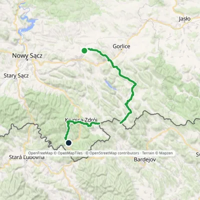 HardMulti-dayMarkedTrail of Wincenty PolElevation profile310–1 106 m73.5 kmascent 3 162 munder 1 km from Jaworzyna Krynicka
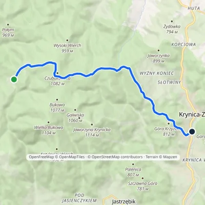 EasyOne-dayMarkedBacówka PTTK pod Wierchomlą Krynica-ZdrójElevation profile571–1 080 m11.1 kmascent 238 m≈ 3.5 h walking2.1 km from Jaworzyna Krynicka
Nearby attractions
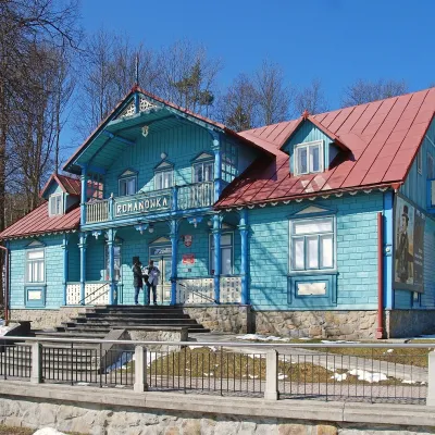 MuseumNikifor Museum in Krynica-ZdrójKrynica-Zdrój4.4 km from Jaworzyna KrynickaThe Nikifor Museum (Muzeum Nikifora) in Krynica-Zdrój is devoted to one of the world's best-known self-taught painters — Nikifor of Krynica, the Lemko Epifaniy...
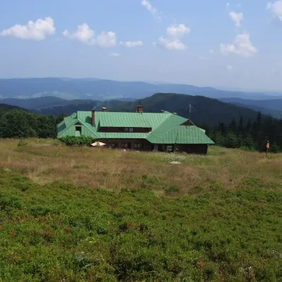 Mountain meadowHala ŁabowskaUhryńaltitude 1 061 m8.7 km from Jaworzyna KrynickaHala Łabowska is a large glade in the Sącz Beskids (Beskid Sądecki), in the middle part of the Jaworzyna Krynicka range, at about 1,060 m.
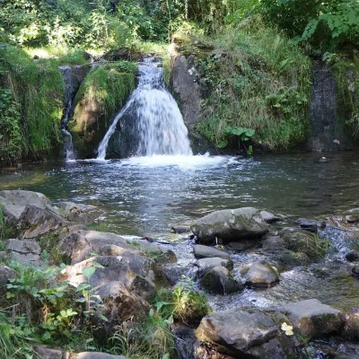 WaterfallŁomniczanka WaterfallŁomnica-Zdrój11 km from Jaworzyna KrynickaŁomniczanka Waterfall (Wodospad na Łomniczance) is a natural waterfall on the stream of the same name in the village of Łomnica-Zdrój, in the commune of Piwniczna...
Craft nearby
All craft places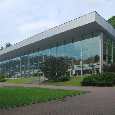 Water parks & thermal poolsKrynica-Zdrój pump rooms: tasting the mineral watersKrynica-Zdrój4.5 km from Jaworzyna KrynickaKrynica-Zdrój grew up around its mineral springs, and the best way to feel the spa is to walk round its pump rooms and taste the local waters.
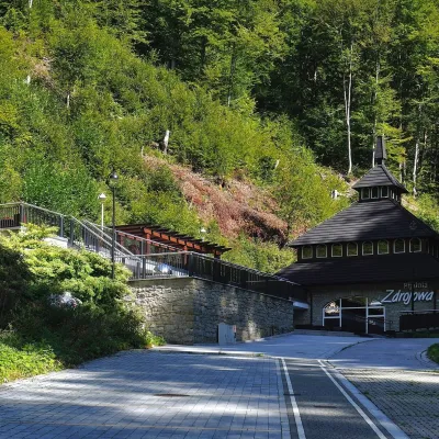 Water parks & thermal poolsŻegiestów-Zdrój spa: the Anna pump room and the Spa HouseŻegiestów8.5 km from Jaworzyna KrynickaŻegiestów-Zdrój is a small spa in the narrow Poprad valley in the Beskid Sądecki, a kilometre and a half from the village of Żegiestów and a few kilometres from Muszyna.
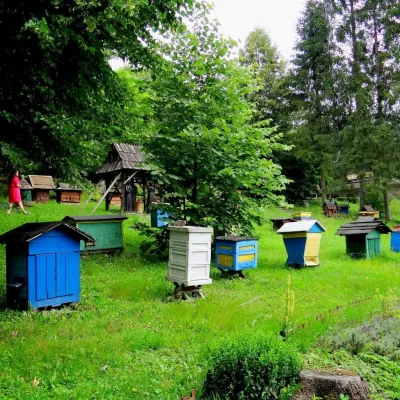 Honey & meaderiesBarć Apiary in Kamianna, the Beekeepers' VillageKamianna12 km from Jaworzyna KrynickaThe Barć ("Bee Tree") apiary in the Lemko village of Kamianna, between Krynica-Zdrój and Nowy Sącz, is one of Poland's best-known beekeeping places, and Kamianna is...
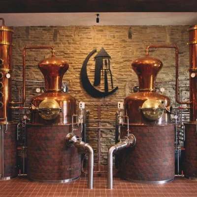 Craft producersCastle Distillery below Ľubovňa Castle: fruit spirits and tastingsStará Ľubovňa18 km from Jaworzyna KrynickaStará Ľubovňa is a town in northern Spiš, overlooked by Ľubovňa Castle. For more than three and a half centuries Ľubovňa was one of the Spiš towns pledged to the...
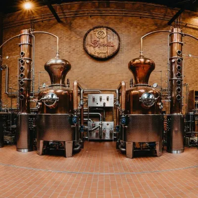 Craft producersSpišská Pálenica, Stará Ľubovňa: distillery tour and Spiš borovičkaStará Ľubovňa20 km from Jaworzyna KrynickaSpiš boasts perhaps the oldest history of distilling in Europe: at the hillfort of Myšia Hôrka near Spišský Štvrtok, part of a distillation vessel from around 1500 BC...
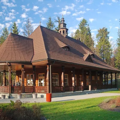 Water parks & thermal poolsWysowa-Zdrój spa: pump room, Franciszek and Henryk watersWysowa-Zdrój21 km from Jaworzyna KrynickaWysowa-Zdrój is a quiet spa at the source of the Ropa river in the Beskid Niski, at 500–550 m, 20 km from Krynica-Zdrój and 25 km from Bardejovské Kúpele in Slovakia.
