Trail of Wincenty Pol
Trail map
Route, springs and shelters: © OpenStreetMap contributors (ODbL) · elevation: Copernicus DEM © DLR e.V., © Airbus DS · Data & licences
About the trail
Route Trail of Wincenty Pol. Has green marking (regional route). Waymarking data: OpenStreetMap (© OpenStreetMap contributors, ODbL).
Officially marked regional tourist route. The marking is green, the sign is a horizontal stripe on a white background. The length of the route is 73.5 km. Location: mountain range - Nizki Beskid, Poland.
Attention: part of the route has not yet been mapped in OpenStreetMap, so the line on the map has gaps. On the ground, orient yourself using the marking signs.
At a glance
A multi-day route of 73.5 km with 3,162 m of ascent. Estimated time: 3 days of 7–8 h of walking (about 23.5 h in total, not counting stops). Difficulty: hard. Waymarking: green.
Route stages
- 0–7 kmClimb of 440 m to Maślana Góra (753 m)
- 7–11 kmDescent of 430 m to Pogórze Village Open-Air Museum in Szymbark
- 11–58 kmGentle ups and downs at 320–870 m, past Magura Małastowska, Skałka, Kozie Żebro, Huzary
- 58–65 kmClimb of 500 m (up to 1,094 m)
- 65–73 kmDescent of 640 m (down to 449 m)
Steepest kilometre: km 66–67, a descent of 190 m (≈21%).
Water and overnight stays
Springs near the trail: at km 5, 6, 8, 40, 57, 58, 70, 72 and 73. There are no springs between km 8 and 40 — carry at least 5.5 l of water.
Huts and shelters near the trail: Jaworzyna Krynicka PTTK Hut (km 65).
A possible split into days:
- Day 1: km 0–24, ≈8 h — overnight: no shelter nearby on the map, bring a tent
- Day 2: km 24–49, ≈8 h — overnight: no shelter nearby on the map, bring a tent
- Day 3: km 49–73, ≈8 h — finish
When to go
Best time: May to October. In winter deep snow is possible, so experience and winter gear are needed.
Getting there
This is a one-way route: the finish is 34 km from the start in a straight line, so plan your way back in advance.
FAQ
- How long does the route take?
- Estimated time: 3 days of 7–8 h of walking (about 23.5 h in total, not counting stops).
- Is there water on the route?
- Springs near the trail: at km 5, 6, 8, 40, 57, 58, 70, 72 and 73. There are no springs between km 8 and 40 — carry at least 5.5 l of water.
- Where can I stay overnight?
- Huts and shelters near the trail: Jaworzyna Krynicka PTTK Hut (km 65).
Water and shelter on the route
- Św. Jana Spring, 557 mkm 5.1 from the start · 160 m off the path · Not verified · 557 m
- Spring below Zielona Górakm 6.6 from the start · 70 m off the path · Not verified · 654 m
- Spring below Jelenia Górakm 8.9 from the start · 150 m off the path · Not verified · 682 m
- Bronisław Mineral Springkm 44.2 from the start · 170 m off the path · Not verified · 519 m
- Drinking water below Góra Parkowa (north-east slope)km 62.6 from the start · 70 m off the path · Not verified · 646 m
- Drinking water below Góra Parkowa (north-west slope)km 63.8 from the start · 150 m off the path · Not verified · 587 m
- Jaworzyna Krynicka PTTK Hutkm 71.3 from the start · Standing · 1 100 m
- Drinking water below Koziejówkakm 77.5 from the start · Not verified · 528 m
- Marcin Tapkm 79 from the start · Not verified · 475 m
- Józef Tapkm 79.7 from the start · Not verified · 458 m
- Anna Spring, 464 mkm 81.1 from the start · 260 m off the path · Not verified · 464 m
Comments
Trails nearby
All trails HardMulti-dayMarkedMain Trail of BeskidyElevation profile309–1 723 m499.9 kmascent 19 519 m
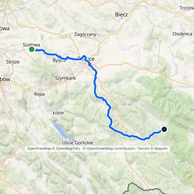 HardMulti-dayMarkedSzalowa Bacówka PTTK in BartneElevation profile279–815 m41.5 kmascent 1 178 m≈ 12.5 h walking
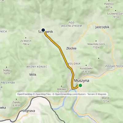 EasyOne-dayMarkedMuszyna Złockie SzczawnikElevation profile447–562 m5 kmascent 114 m≈ 1.5 h walking
Craft nearby
All craft places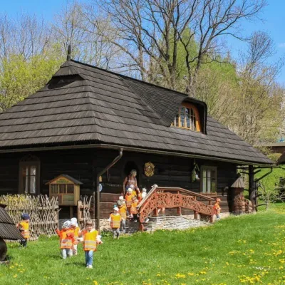 Honey & meaderiesSądecki Bartnik Beekeeping Farm, Stróże1.9 km from the trailSądecki Bartnik in the village of Stróże near Grybów is one of Poland's best-known beekeeping farms. The family business was founded in 1973 by Anna and Janusz...
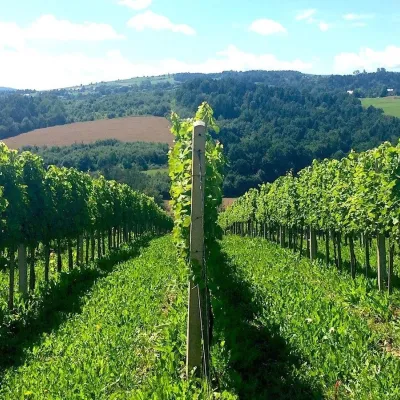 Wine & tastingsChodorowa vineyard near Grybów: tour and wine tasting4.3 km from the trailThe Chodorowa vineyard (Winnica Chodorowa) lies in the hills of the Rożnów Foothills (Pogórze Rożnowskie), a few kilometres from the small town of Grybów in the...
 Markets & fairsBobbin Lace Festival in Bobowa: lace fair and workshops6.3 km from the trailBobowa — one of the oldest settlements in the Biała river valley between Tarnów and Nowy Sącz, about 25 km north-west of Gorlice — is considered Poland's capital of...
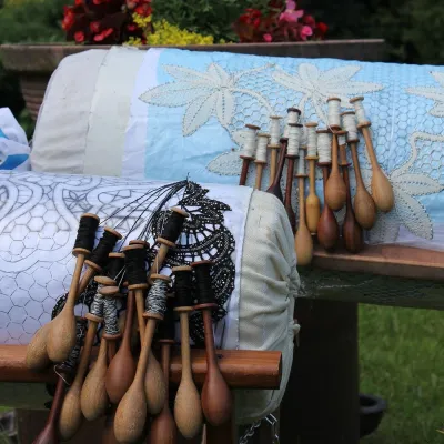 Crafts & workshopsKoronkarnia, Bobowa: bobbin lace by Ewa Szpila6.4 km from the trailKoronkarnia is the workshop and small shop of Ewa Szpila, one of the town's best-known lacemakers. She is not from Bobowa and is an accountant by profession: she...
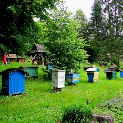 Honey & meaderiesBarć Apiary in Kamianna, the Beekeepers' Village15 km from the trailThe Barć ("Bee Tree") apiary in the Lemko village of Kamianna, between Krynica-Zdrój and Nowy Sącz, is one of Poland's best-known beekeeping places, and Kamianna is...
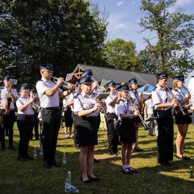 Markets & fairsFasolowe Żniwa in Rożnów: the Piękny Jaś bean harvest festival24 km from the trailThe Dunajec valley around Lake Rożnów is famous for the large white “Piękny Jaś” (Beautiful Johnny) bean. “Fasola Piękny Jaś z Doliny Dunajca” holds EU Protected...
