Lackowa
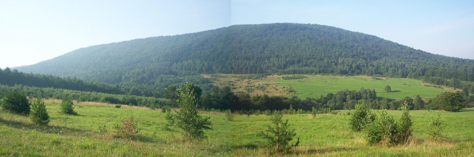
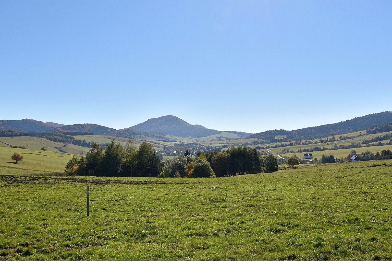
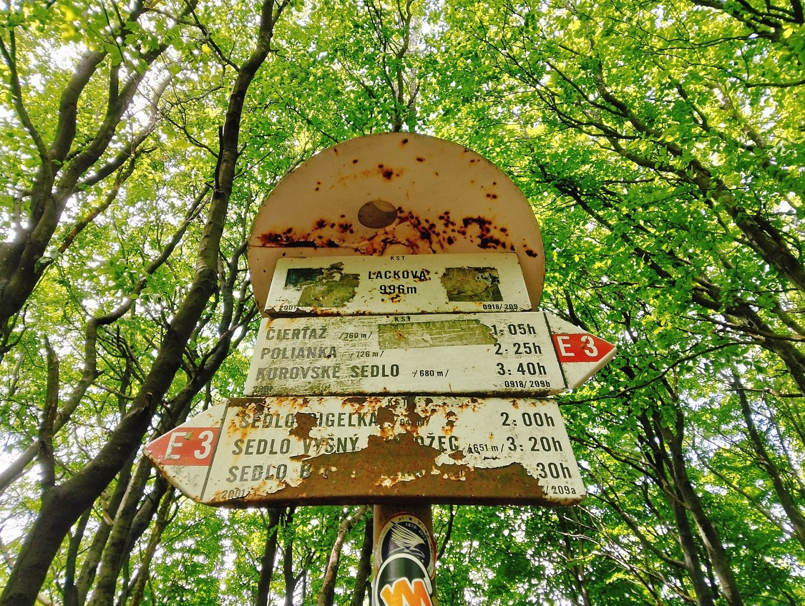
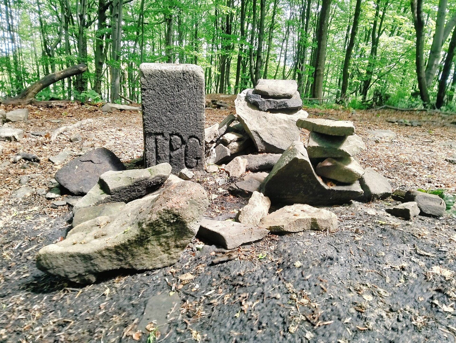
Lackowa (Slovak Lacková, Lemko Лацкова) is a 997 m summit on the Polish–Slovak border and the highest mountain of the Polish part of the Low Beskid. It rises between Krynica-Zdrój and Wysowa, in the north-western part of the small Busov range. Its regular dome is easy to recognise from afar, towering over the villages of Izby and Bieliczna on the Polish side and Frička and Cigeľka in Slovakia. The highest point of the whole Low Beskid, neighbouring Busov (1002 m), lies on the Slovak side about 5 km to the south-east. Lackowa belongs to the Crown of Polish Mountains, so it is popular with peak-baggers.
The Polish slopes lie in the Uście Gorlickie municipality of Gorlice County (Lesser Poland), the Slovak ones in Bardejov District (Prešov Region). The former Lemko village of Bieliczna is about 1.9 km to the north, Izby about 3.6 km.
How to get there / routes
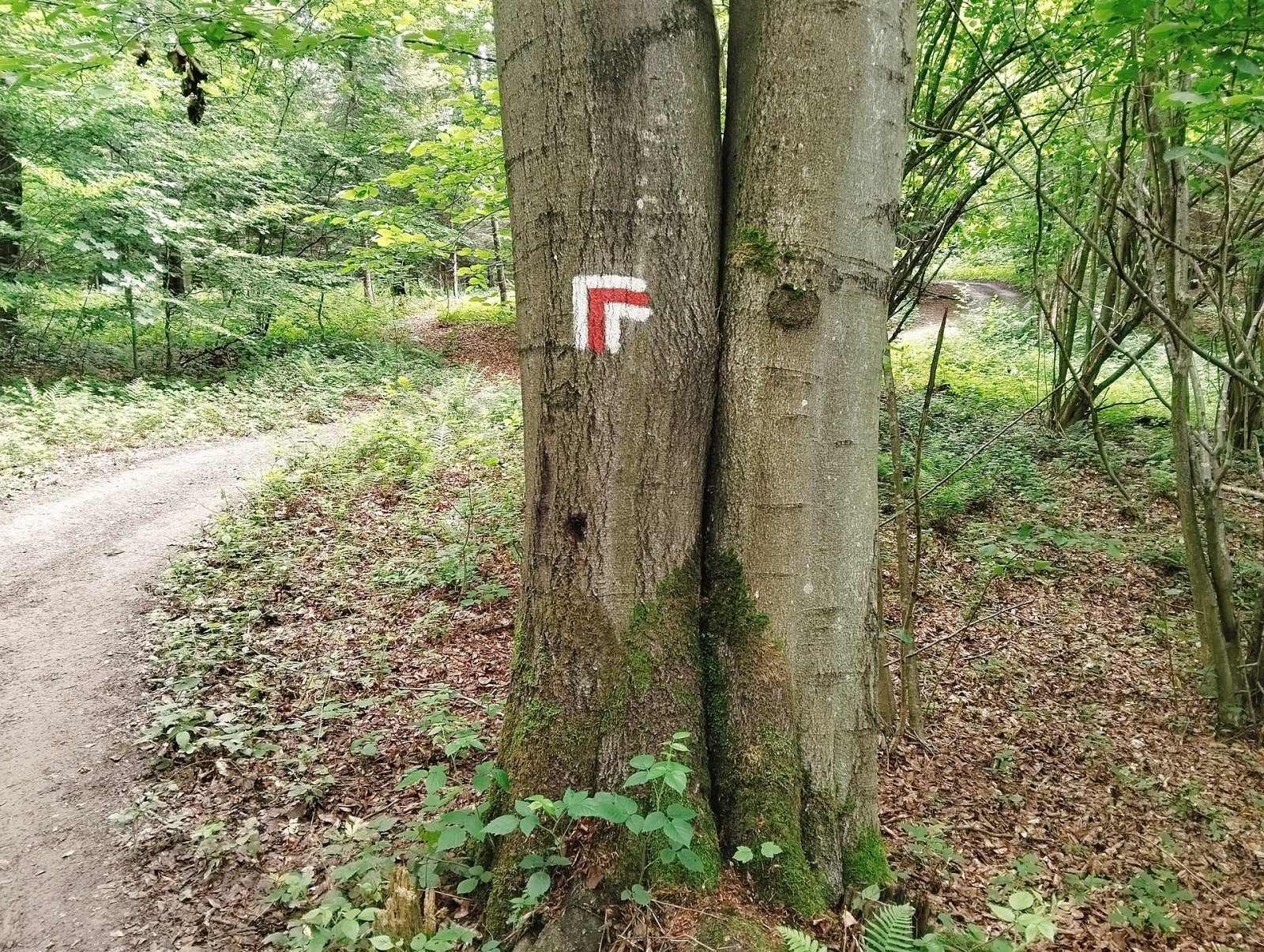
The border ridge over the summit carries the red trail – the Slovak East Carpathian Main Trail, which is also part of the European E3 path. On the Polish side a yellow trail climbs from Izby.
- From the west, from Przełęcz Beskid (644 m) – red trail. The western slope is the steepest marked section in the Low Beskid and one of the steepest in Poland outside the Tatras: about 300 m of ascent over roughly 1 km, an average gradient of 30°. Further west the trail continues via Czerteż and Dzielec to the Tylicz Pass.
- From the east – red trail from the Wysowa Pass via Przełęcz pod Stawiskami and Ostry Wierch (938 m).
- From Izby – yellow PTTK trail up to the ridge near the summit.
Official sources give no walking times; allow extra time for the steep western slope, especially descending in the wet.
What you can see from the summit
The summit is covered with continuous forest, so there is no all-round panorama. According to Slovak sources, clearings on the slopes reveal the neighbouring summits of the Busov range, the Ľubovňa Highlands, the Tatras, the Levoča Mountains, Čergov, the Slanské Mountains, the Ondava Highlands and the hills of Poland. The dome of Lackowa itself is best seen from a distance – from above Bieliczna and the Biała valley.
Nature and history
The mountain is built of Paleocene–Eocene flysch: lower down variegated claystones and fine-grained sandstones of the so-called Beloveža beds, and above roughly 800 m coarse sandstones of the Zlín beds. These resistant sandstones form the steep dome.
The original Lemko name, Łackowa (Wackowa), comes from the personal name Łacko. Rarer names are “Pułaski's Pennant” (Chorągiewka Pułaskiego) and Lachowa; jokingly it is called the “Police Mountain” because its height, 997, matches Poland's police emergency number.
The name “Pułaski's Pennant” recalls the Bar Confederation. The area was fortified and the then treeless, widely visible summit was used for flag signalling between the confederates' camps in Izby and Wysowa. After the battle of 3–4 October 1770 with the Russian detachment of General Drewicz, the confederates had to withdraw across the Austrian border. Remains of the confederates' earthworks survive in the area.
Safety, season and rules
Lackowa is a wooded summit without rocks, but the western slope is very steep: after rain the clayey path turns slippery, and in winter you will need boots with good tread or light microspikes and poles. There are no springs, huts or shops on the ridge, so carry water and food. The surrounding valleys are sparsely populated and mobile coverage is patchy in places. Poland and Slovakia are both in the Schengen area, so you may cross the border on marked trails, but carry your passport.
The Polish side is covered by the Krynica group of the mountain rescue service GOPR: call 985 or +48 601 100 300, or 112; installing the «Ratunek» app is recommended. On the Slovak side call the Mountain Rescue Service HZS: 18 300 (+421 18 300) or 112.
Interesting facts
- Lackowa is the highest peak of the Polish Low Beskid, but not of the whole range: Slovak Busov is 5 m higher.
- The red trail on its western slope is regarded as the steepest marked path in the Low Beskid.
- During the Bar Confederation the summit served as a signal post – hence the name “Pułaski's Pennant”.
Photos: Tomasz Kuran aka Meteor2017, CC BY 2.5; Henryk Bielamowicz, CC BY-SA 4.0; MOs810, CC BY 4.0; MOs810, CC BY 4.0; MOs810, CC BY 4.0; MOs810, CC BY 4.0 — Wikimedia Commons.
Getting there from Ukraine
Border crossings
- Krakovets – Korczowa — road, 24/7
- Shehyni – Medyka — road, 24/7 Pedestrian crossing is not confirmed by the Ukrainian border service — check dpsu.gov.ua before the trip.
- Smilnytsia – Krościenko — road, 24/7
- Hrushiv – Budomierz — road, 24/7
- Mostyska – Przemyśl (rail) — rail, 24/7
By car
Lviv – Krynica-Zdrój ≈338 km, ≈5 h without queues: M-10 to Krakovets → Krakovets – Korczowa checkpoint → toll-free A4 via Rzeszów to Tarnów (≈163 km) → DW977 towards Gorlice → DW981 to Krynica (≈260 km, ≈3 h 35 min from the border). Via Smilnytsia – Krościenko the distance is about the same (≈335 km) but the mountain roads are slow (≈7 h 40 min): DK84 – Sanok – DK28 via Krosno and Gorlice.
Checked 23.10.2026; border crossing hours and timetables change — check before you travel.
Location on the map
Water and shelter nearby
- Spring below Lacková910 m · Not verified · 763 m
- Spring below Stożek2.5 km · Not verified · 810 m
- Kyselka Captured Spring, 503 m2.7 km · Not verified · 503 m
Comments
Trails via Lackowa
All 1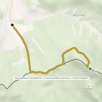
Nearby attractions
 PeakRotundaaltitude 771 m11 km from LackowaRotunda is a 771 m hill in the Low Beskid in south-eastern Lesser Poland. It lies on a side spur that leaves the main Carpathian ridge at Jaworzyna Konieczniańska and...
 LakeKlimkówka Reservoir (Lake Klimkówka)13 km from LackowaThe Klimkówka Reservoir (Zalew Klimkówka, commonly called Lake Klimkówka) is an artificial lake on the Ropa river in the Beskid Niski, near the villages of Klimkówka,...
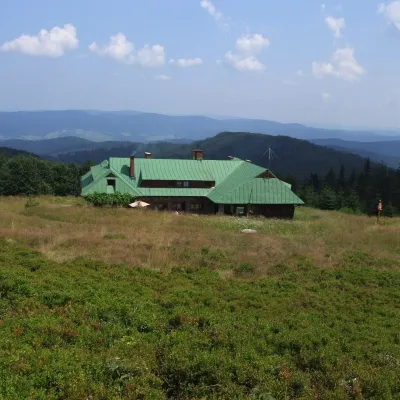 Mountain meadowHala Łabowskaaltitude 1 061 m22 km from LackowaHala Łabowska is a large glade in the Sącz Beskids (Beskid Sądecki), in the middle part of the Jaworzyna Krynicka range, at about 1,060 m.
Craft nearby
All craft places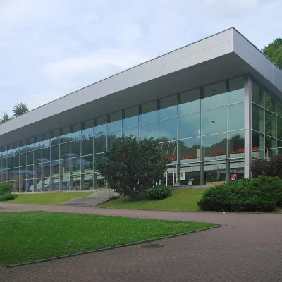 Water parks & thermal poolsKrynica-Zdrój pump rooms: tasting the mineral waters11 km from LackowaKrynica-Zdrój grew up around its mineral springs, and the best way to feel the spa is to walk round its pump rooms and taste the local waters.
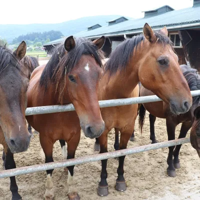 Horse ridingGładyszów Hucul Horse Stud, Regietów16 km from LackowaThe "Gładyszów" Hucul Horse Stud (Stadnina Koni Huculskich „Gładyszów”) in the Lemko village of Regietów is one of the largest places in the world where Hucul ponies...
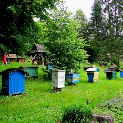 Honey & meaderiesBarć Apiary in Kamianna, the Beekeepers' Village16 km from LackowaThe Barć ("Bee Tree") apiary in the Lemko village of Kamianna, between Krynica-Zdrój and Nowy Sącz, is one of Poland's best-known beekeeping places, and Kamianna is...
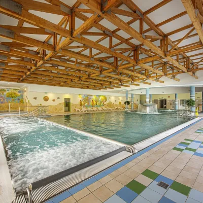 Water parks & thermal poolsBardejovské Kúpele: Wellness Spa Ozón and summer pool16 km from LackowaBardejovské Kúpele is one of Slovakia’s oldest spas, a part of the town of Bardejov about 5 km from its centre, in a valley under the Magura massif that shelters it...
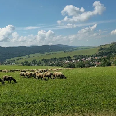 Cheese dairies & pasturesFarma Kamenica — Family Sheep Farm and Cheese Dairy in Šariš27 km from LackowaKamenica is a village in northern Šariš, in the valley of the Kameničanka stream, at about 483 m above sea level.
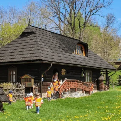 Honey & meaderiesSądecki Bartnik Beekeeping Farm, Stróże29 km from LackowaSądecki Bartnik in the village of Stróże near Grybów is one of Poland's best-known beekeeping farms. The family business was founded in 1973 by Anna and Janusz...
